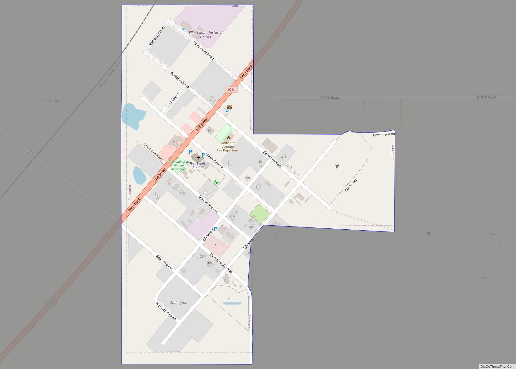
Addington is a town in Jefferson County, Oklahoma, United States. The population was 114 at the 2010 census, a decrease of 2.6 percent from the figure of 117 in 2000. The town was founded in 1890.
| Name: | Addington town |
|---|---|
| LSAD Code: | 43 |
| LSAD Description: | town (suffix) |
| State: | Oklahoma |
| County: | Jefferson County |
| Elevation: | 938 ft (286 m) |
| Total Area: | 0.24 sq mi (0.61 km²) |
| Land Area: | 0.24 sq mi (0.61 km²) |
| Water Area: | 0.00 sq mi (0.00 km²) |
| Total Population: | 83 |
| Population Density: | 350.21/sq mi (135.31/km²) |
| ZIP code: | 73520 |
| Area code: | 580 |
| FIPS code: | 4000450 |
| GNISfeature ID: | 1089540 |
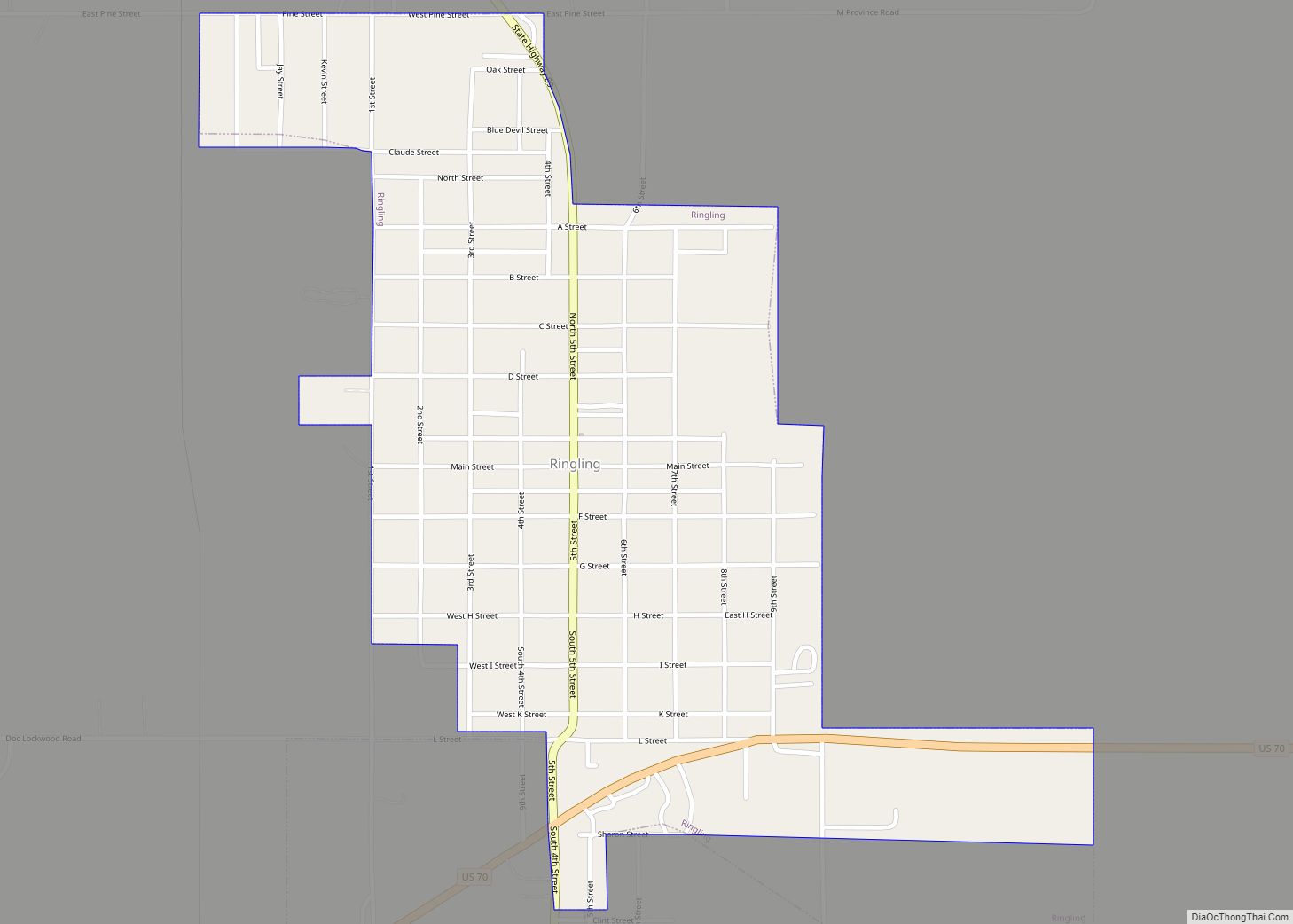
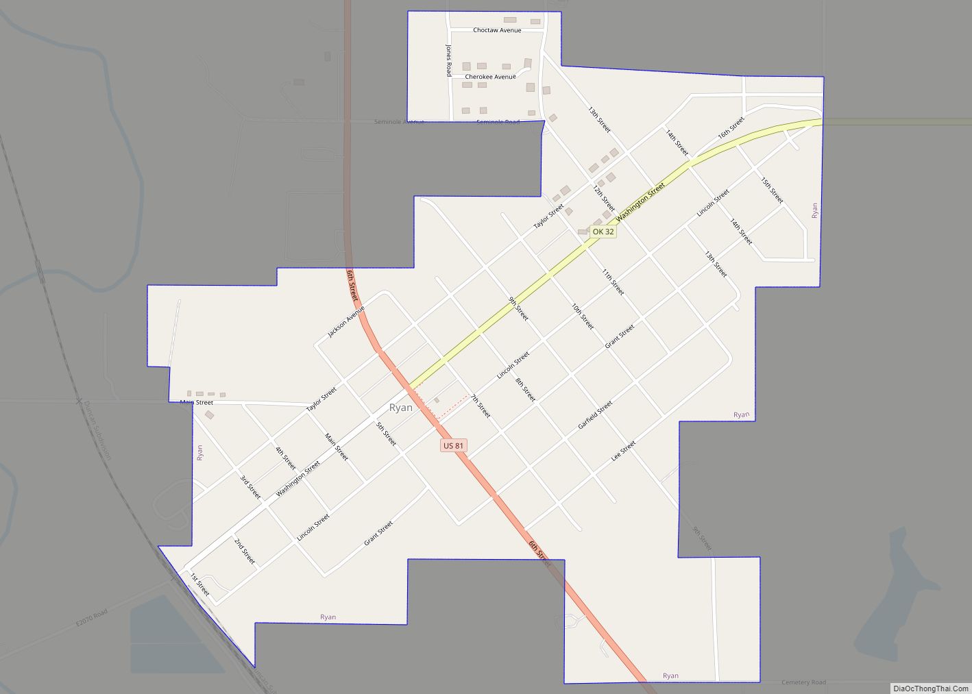
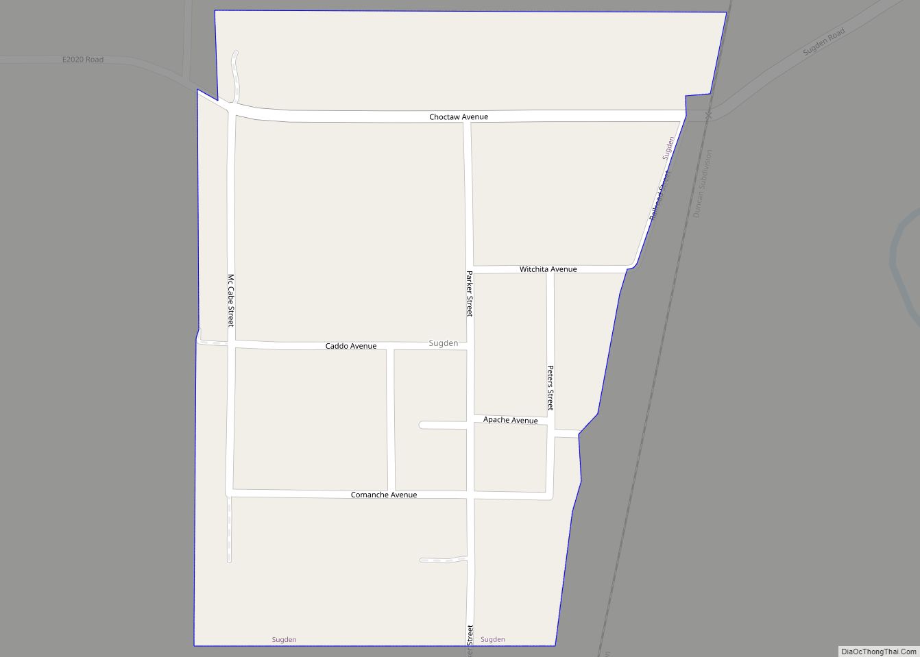
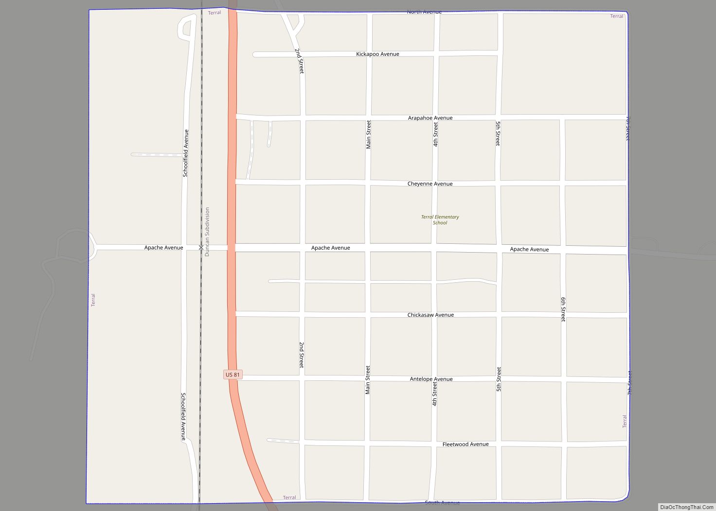
Online Interactive Map
Click on ![]() to view map in "full screen" mode.
to view map in "full screen" mode.
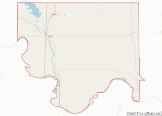
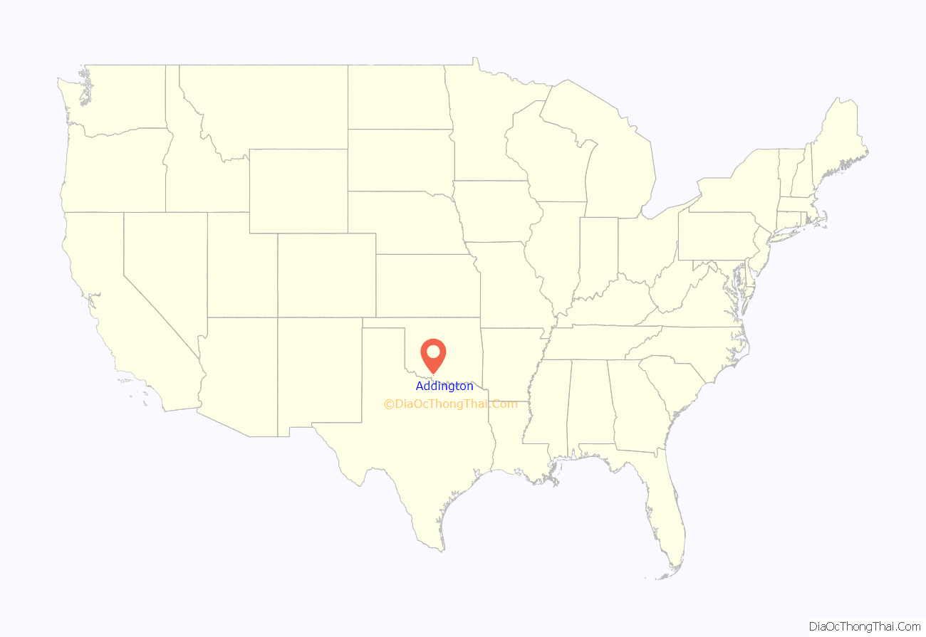
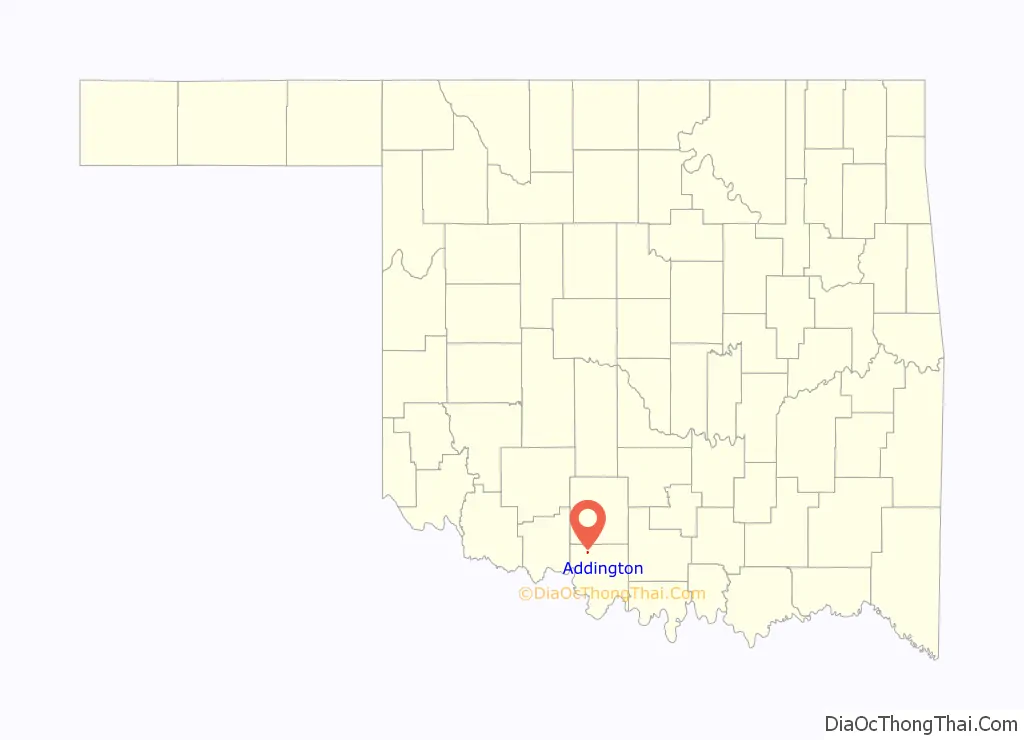
Addington location map. Where is Addington town?
History
The post office was established on January 8, 1896. The name of the town comes from the name of its first postmaster, James P. Addington.
Located on the Chicago, Rock Island and Pacific Railroad. Daniel Leal was the first mayor, appointed by the governor.
Former newspapers were the Addington Free Lance, the Addington Advertiser, the Addington Journal, and the Addington Herald.
The town was incorporated in 1901. The peak population was circa 1915, with 1,000 citizens. The town’s growth stopped about the time World War I began, and has continued to decline ever since.
The post office in Addington is slated for possible closure by the US Postal service.
Addington Road Map
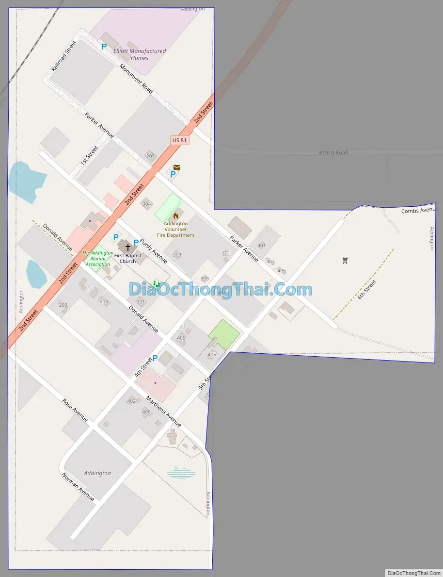
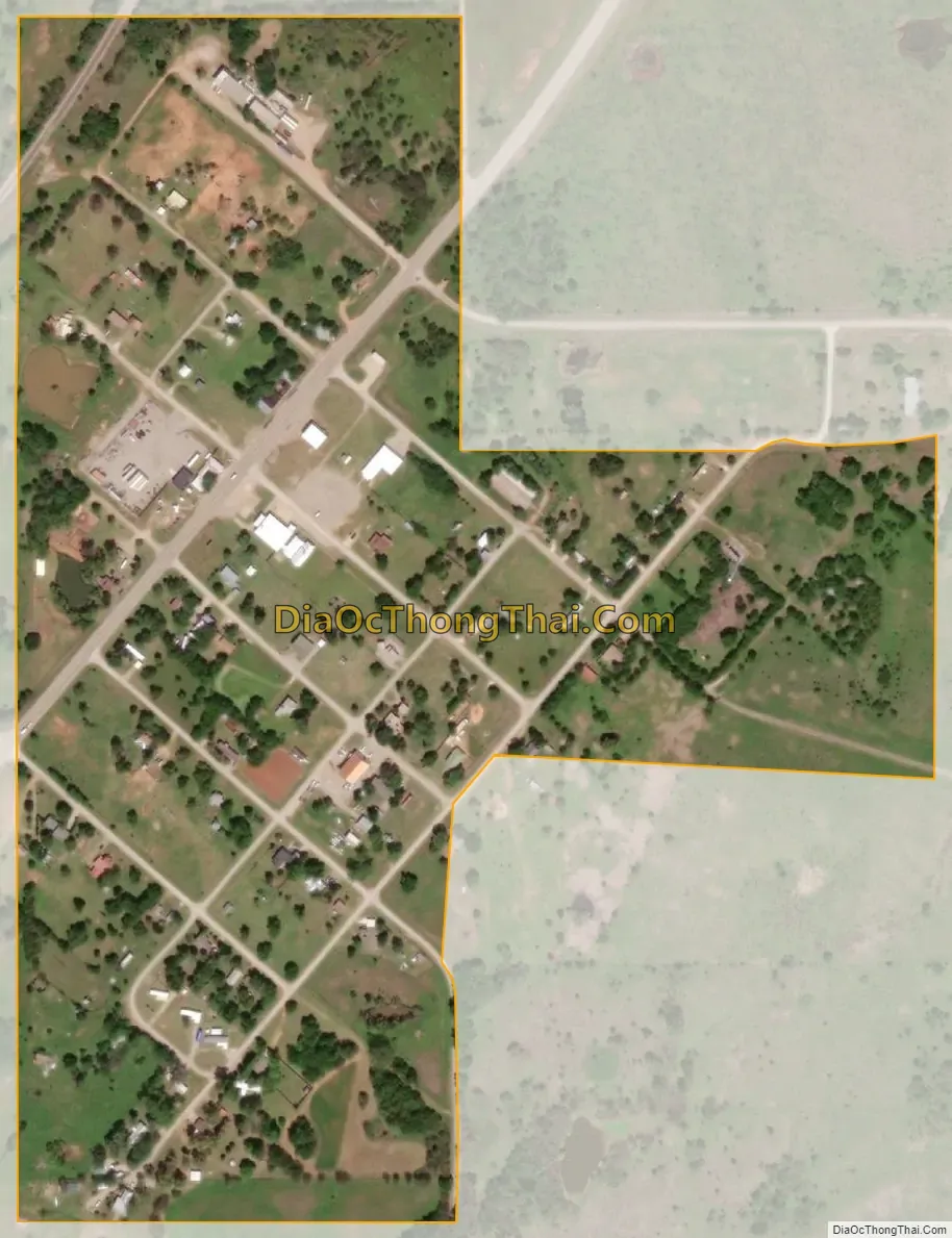
Addington city Satellite Map
Geography
Addington is located at 34°14′36″N 97°58′0″W / 34.24333°N 97.96667°W / 34.24333; -97.96667 (34.243206, -97.966591). It is 6 miles (9.7 km) north and 2 miles (3.2 km) west of Waurika.
According to the United States Census Bureau, the town has a total area of 0.2 square miles (0.52 km), all land.
See also
Map of Oklahoma State and its subdivision:- Adair
- Alfalfa
- Atoka
- Beaver
- Beckham
- Blaine
- Bryan
- Caddo
- Canadian
- Carter
- Cherokee
- Choctaw
- Cimarron
- Cleveland
- Coal
- Comanche
- Cotton
- Craig
- Creek
- Custer
- Delaware
- Dewey
- Ellis
- Garfield
- Garvin
- Grady
- Grant
- Greer
- Harmon
- Harper
- Haskell
- Hughes
- Jackson
- Jefferson
- Johnston
- Kay
- Kingfisher
- Kiowa
- Latimer
- Le Flore
- Lincoln
- Logan
- Love
- Major
- Marshall
- Mayes
- McClain
- McCurtain
- McIntosh
- Murray
- Muskogee
- Noble
- Nowata
- Okfuskee
- Oklahoma
- Okmulgee
- Osage
- Ottawa
- Pawnee
- Payne
- Pittsburg
- Pontotoc
- Pottawatomie
- Pushmataha
- Roger Mills
- Rogers
- Seminole
- Sequoyah
- Stephens
- Texas
- Tillman
- Tulsa
- Wagoner
- Washington
- Washita
- Woods
- Woodward
- Alabama
- Alaska
- Arizona
- Arkansas
- California
- Colorado
- Connecticut
- Delaware
- District of Columbia
- Florida
- Georgia
- Hawaii
- Idaho
- Illinois
- Indiana
- Iowa
- Kansas
- Kentucky
- Louisiana
- Maine
- Maryland
- Massachusetts
- Michigan
- Minnesota
- Mississippi
- Missouri
- Montana
- Nebraska
- Nevada
- New Hampshire
- New Jersey
- New Mexico
- New York
- North Carolina
- North Dakota
- Ohio
- Oklahoma
- Oregon
- Pennsylvania
- Rhode Island
- South Carolina
- South Dakota
- Tennessee
- Texas
- Utah
- Vermont
- Virginia
- Washington
- West Virginia
- Wisconsin
- Wyoming