Waurika is the county seat of Jefferson County, Oklahoma, United States. The population was 2,064 at the 2010 census, a 4.36 percent decrease from 2,158 at the 2000 census.
An article from 1985 in The Oklahoman claimed that Waurika promoted itself as “The Parakeet Capital of the World”. It gave no explanation for using this slogan. The Waurika Chamber of Commerce website in 2020 echoes that the town was “once a parakeet paradise,” but currently seems to be promoting the motto On The Trail, By The Lake, complete with a logo of a cowboy bronc-riding a fish.
| Name: | Waurika city |
|---|---|
| LSAD Code: | 25 |
| LSAD Description: | city (suffix) |
| State: | Oklahoma |
| County: | Jefferson County |
| Elevation: | 896 ft (273 m) |
| Total Area: | 11.93 sq mi (30.90 km²) |
| Land Area: | 11.92 sq mi (30.87 km²) |
| Water Area: | 0.01 sq mi (0.03 km²) |
| Total Population: | 1,837 |
| Population Density: | 154.11/sq mi (59.50/km²) |
| ZIP code: | 73573 |
| Area code: | 580 |
| FIPS code: | 4079250 |
| GNISfeature ID: | 1099439 |
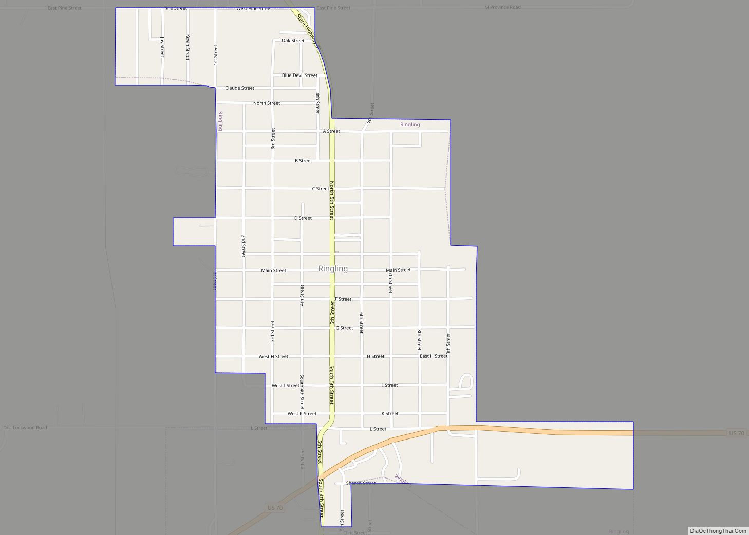
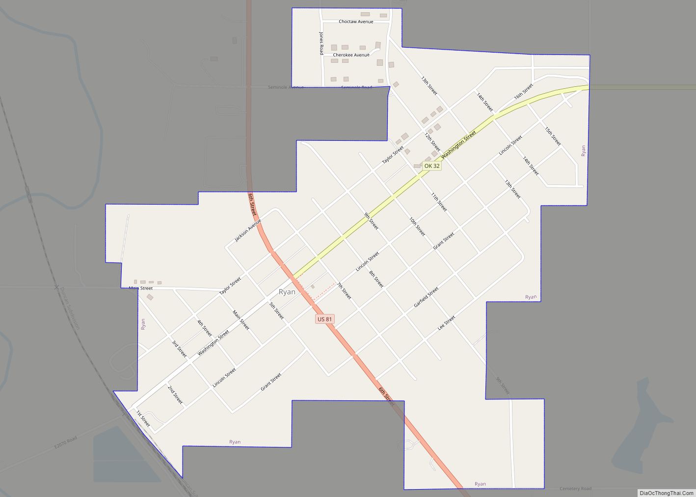
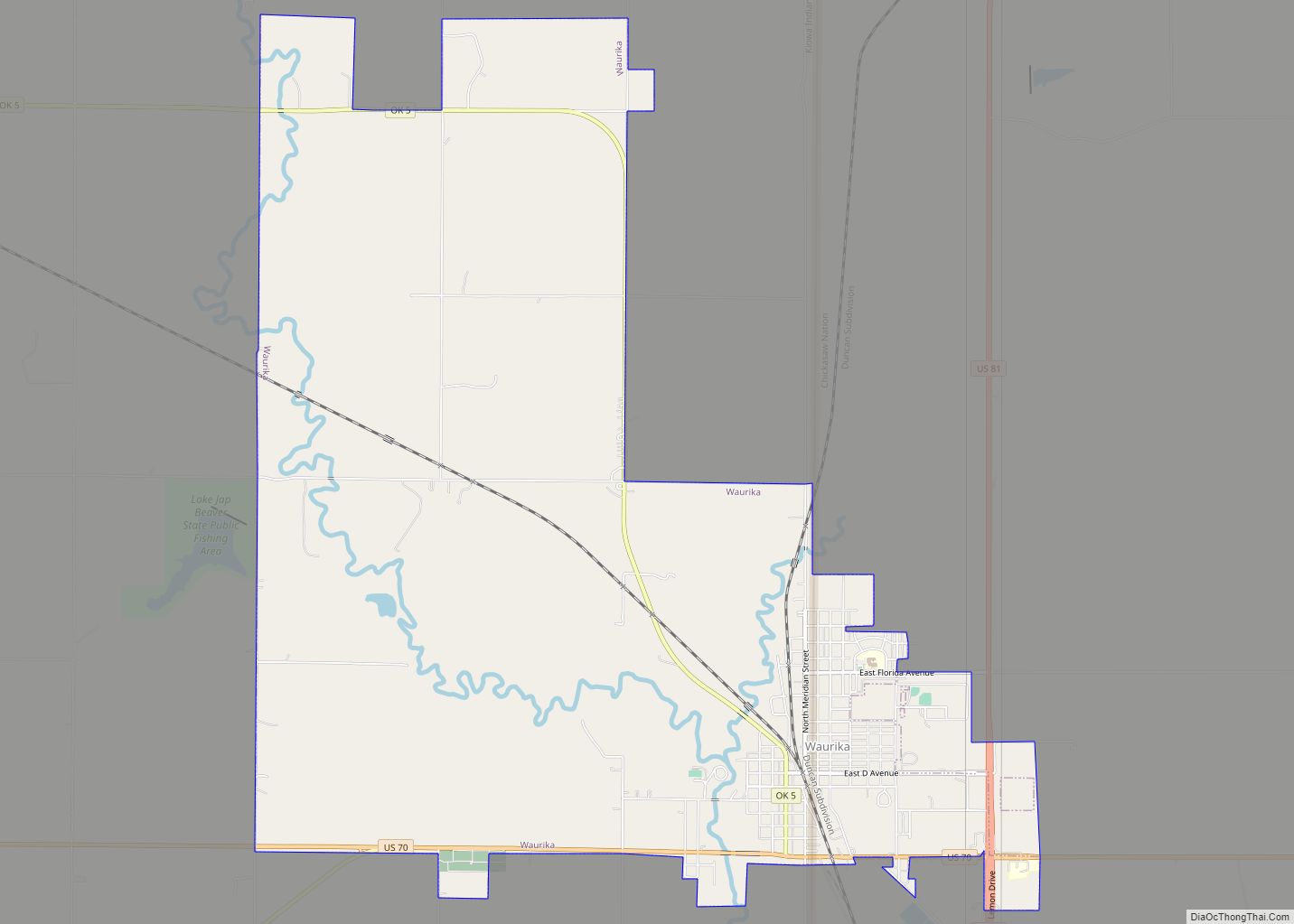
Online Interactive Map
Click on ![]() to view map in "full screen" mode.
to view map in "full screen" mode.
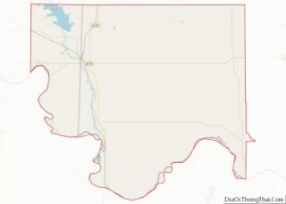
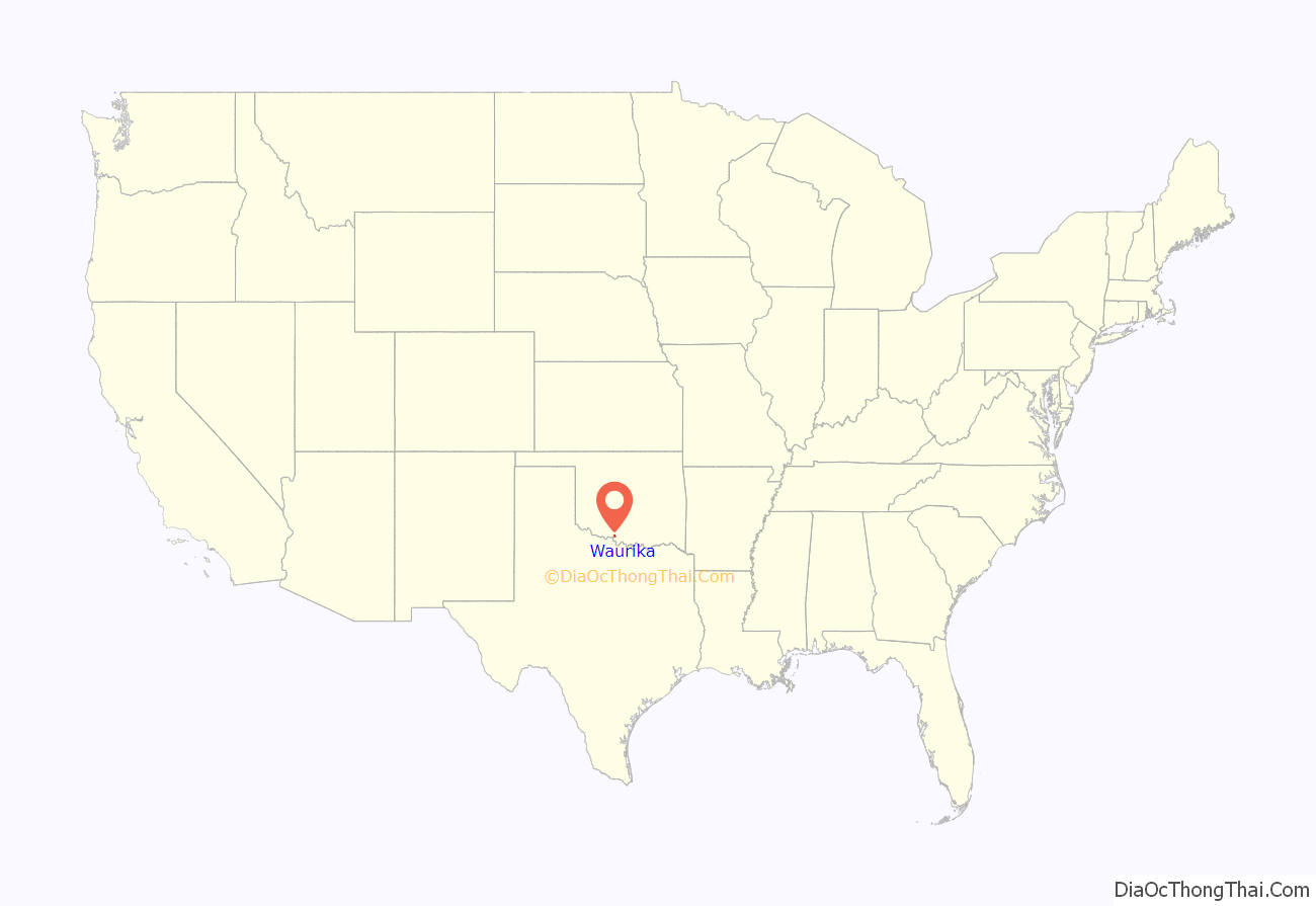
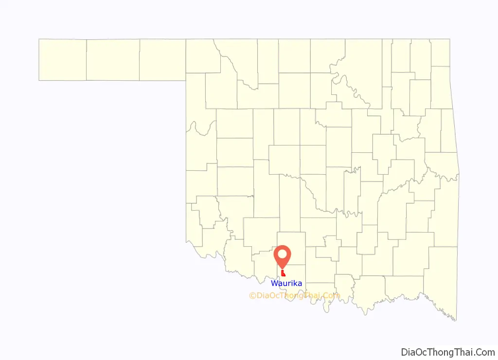
Waurika location map. Where is Waurika city?
History
Waurika was settled after the Comanche, Kiowa, and Apache Reservation was opened to non-Indians on August 6, 1901. The first white settler was James McGraw, who homesteaded on the present town site after moving from Burlington, Iowa. The first sale of town lots was held on June 18, 1902. Nearly three thousand people attended the sale.
Waurika was incorporated in May 1903. On May 8 of that year, C.A. McBrian was sworn in as the town’s first mayor. At the time of its founding, Waurika was located in Pickens County, Chickasaw Nation.
The Chicago, Rock Island and Pacific Railway came to Waurika on January 1902 after the railroad superintendent “designated the town as a flag station.” Waurika was formerly the northern terminus for the Wichita Falls and Southern Railroad, one of the 20th century properties of Frank Kell and Joseph A. Kemp of Wichita Falls, Texas, where the Kell House Museum is located today.
Waurika Road Map
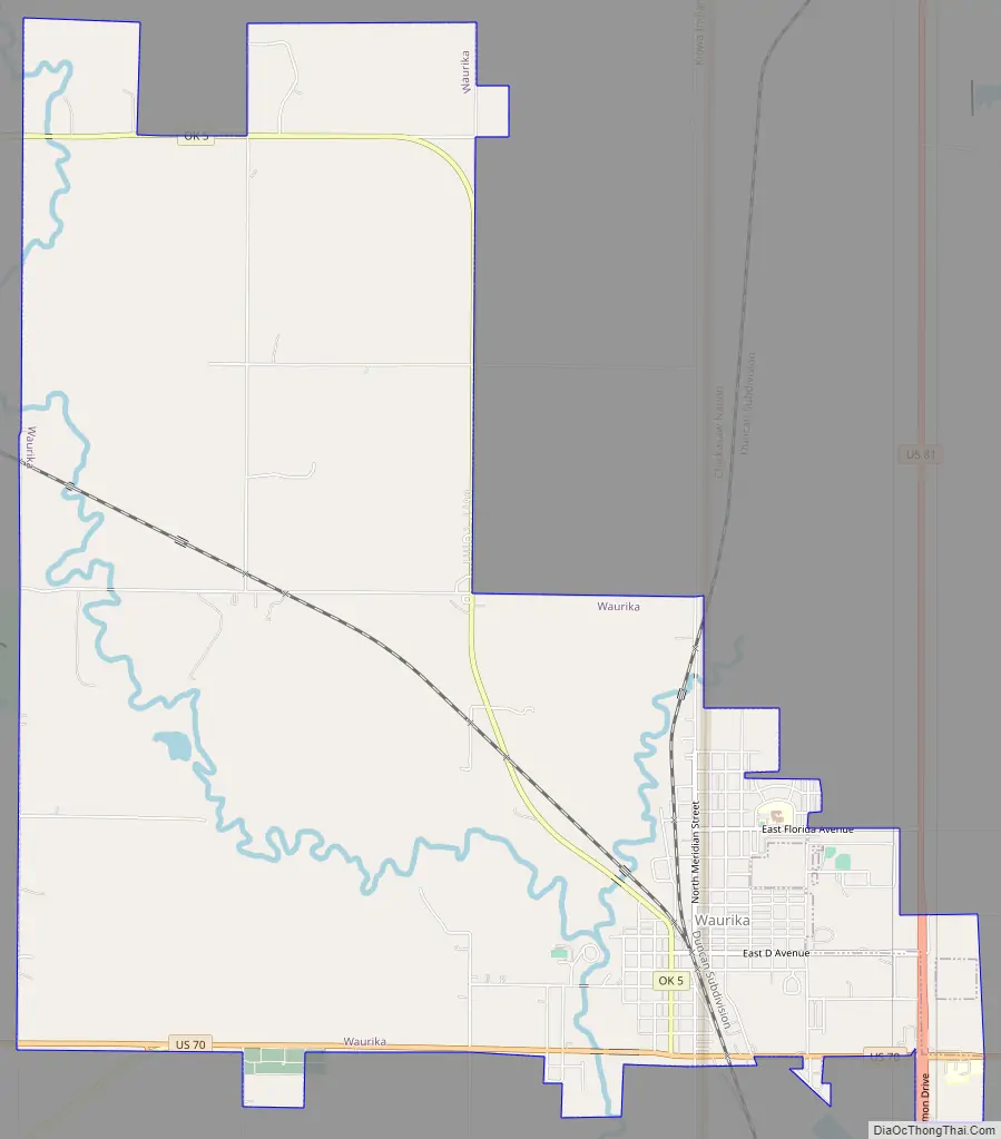
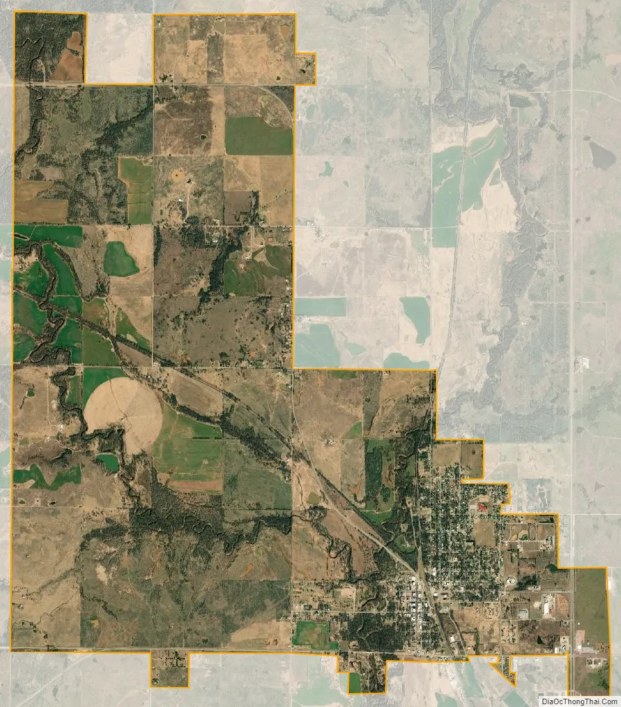
Waurika city Satellite Map
Geography
Waurika is located in northwestern Jefferson County at 34°10′12″N 98°0′5″W / 34.17000°N 98.00139°W / 34.17000; -98.00139 (34.170130, -98.001268). U.S. Route 70 passes through the southern side of the city, leading east 49 miles (79 km) to Ardmore and west 27 miles (43 km) to Randlett. U.S. Route 81 crosses US 70 in the southeastern corner of Waurika, leading north 26 miles (42 km) to Duncan and south 24 miles (39 km) to Ringgold. Oklahoma State Highway 5 (Waurika’s Main Street) leads northwest 19 miles (31 km) to Temple. Waurika is approximately 109 miles (175 km) southwest of Oklahoma City.
According to the United States Census Bureau, Waurika has a total area of 12.5 square miles (32.4 km), of which 0.01 square miles (0.03 km), or 0.08%, are water. The city center lies on the east side of the valley of Beaver Creek, a south-flowing tributary of the Red River.
Waurika Lake is 6 miles (10 km) northwest of the city center.
See also
Map of Oklahoma State and its subdivision:- Adair
- Alfalfa
- Atoka
- Beaver
- Beckham
- Blaine
- Bryan
- Caddo
- Canadian
- Carter
- Cherokee
- Choctaw
- Cimarron
- Cleveland
- Coal
- Comanche
- Cotton
- Craig
- Creek
- Custer
- Delaware
- Dewey
- Ellis
- Garfield
- Garvin
- Grady
- Grant
- Greer
- Harmon
- Harper
- Haskell
- Hughes
- Jackson
- Jefferson
- Johnston
- Kay
- Kingfisher
- Kiowa
- Latimer
- Le Flore
- Lincoln
- Logan
- Love
- Major
- Marshall
- Mayes
- McClain
- McCurtain
- McIntosh
- Murray
- Muskogee
- Noble
- Nowata
- Okfuskee
- Oklahoma
- Okmulgee
- Osage
- Ottawa
- Pawnee
- Payne
- Pittsburg
- Pontotoc
- Pottawatomie
- Pushmataha
- Roger Mills
- Rogers
- Seminole
- Sequoyah
- Stephens
- Texas
- Tillman
- Tulsa
- Wagoner
- Washington
- Washita
- Woods
- Woodward
- Alabama
- Alaska
- Arizona
- Arkansas
- California
- Colorado
- Connecticut
- Delaware
- District of Columbia
- Florida
- Georgia
- Hawaii
- Idaho
- Illinois
- Indiana
- Iowa
- Kansas
- Kentucky
- Louisiana
- Maine
- Maryland
- Massachusetts
- Michigan
- Minnesota
- Mississippi
- Missouri
- Montana
- Nebraska
- Nevada
- New Hampshire
- New Jersey
- New Mexico
- New York
- North Carolina
- North Dakota
- Ohio
- Oklahoma
- Oregon
- Pennsylvania
- Rhode Island
- South Carolina
- South Dakota
- Tennessee
- Texas
- Utah
- Vermont
- Virginia
- Washington
- West Virginia
- Wisconsin
- Wyoming