Apache is a town in Caddo County, Oklahoma, United States. The population was 1,444 at the 2010 census.
| Name: | Apache town |
|---|---|
| LSAD Code: | 43 |
| LSAD Description: | town (suffix) |
| State: | Oklahoma |
| County: | Caddo County |
| Elevation: | 1,293 ft (394 m) |
| Total Area: | 2.16 sq mi (5.59 km²) |
| Land Area: | 2.15 sq mi (5.56 km²) |
| Water Area: | 0.01 sq mi (0.03 km²) |
| Total Population: | 1,034 |
| Population Density: | 482.05/sq mi (186.13/km²) |
| ZIP code: | 73006 |
| Area code: | 580 |
| FIPS code: | 4002300 |
| GNISfeature ID: | 1089666 |
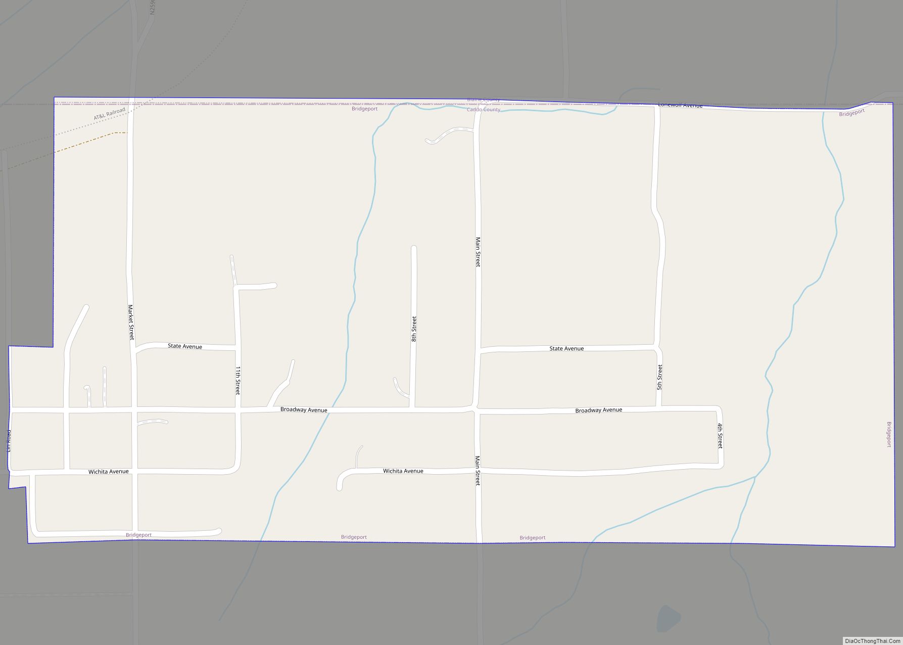
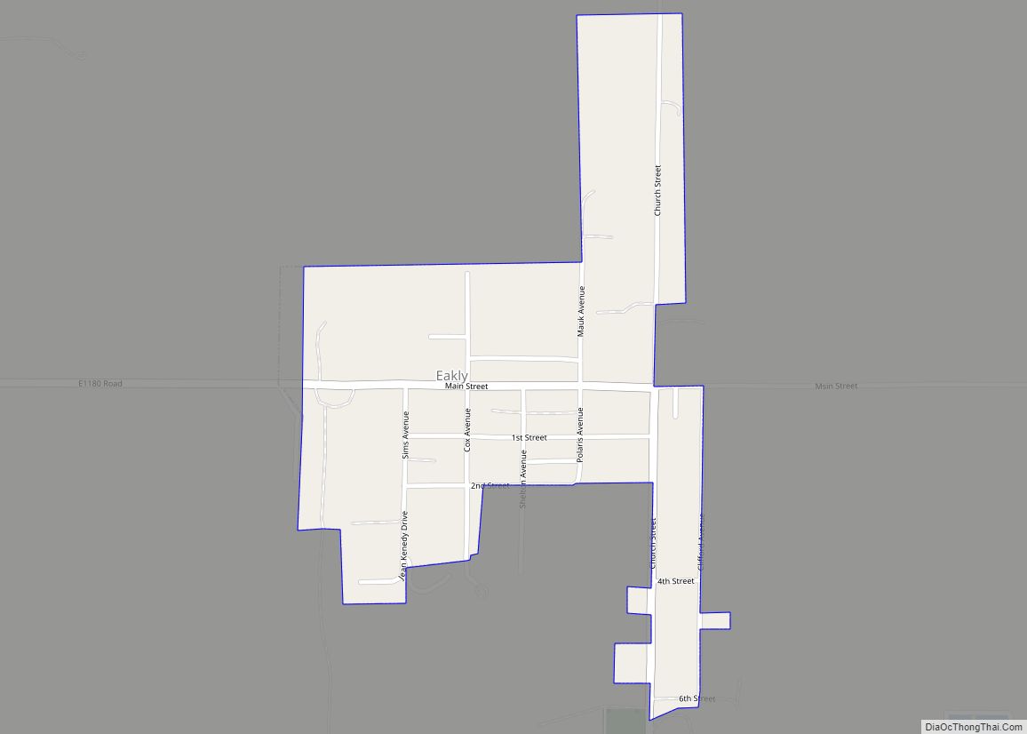
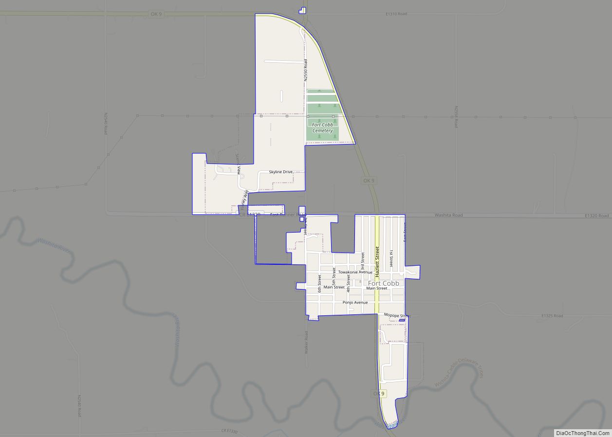
Online Interactive Map
Click on ![]() to view map in "full screen" mode.
to view map in "full screen" mode.
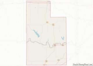
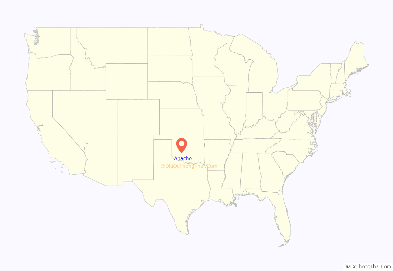
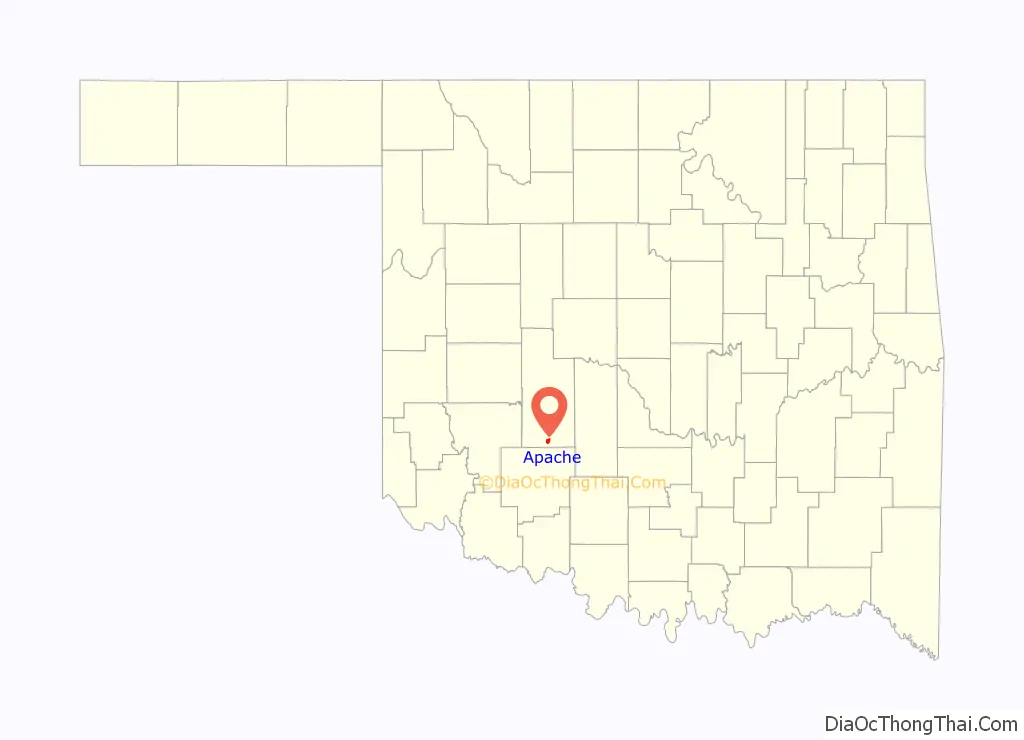
Apache location map. Where is Apache town?
History
Before opening the Kiowa, Comanche, and Apache Reservation on August 1, 1901, for unrestricted settlement by non-Indians, Land Lottery Director William A. Richards had recommended setting aside the land now occupied by Apache as a townsite. He had expected the community would be named “Richards” in his honor. Instead, officials of the Chicago, Rock Island and Pacific Railway (Rock Island) named the community Apache. A land run for lots in Apache was held on August 6, 1901, which was the last land run in Oklahoma. According to the Encyclopedia of Oklahoma History and Culture, five lumberyards and six saloons opened for business within hours after the run. A tent served as a market for groceries.
An election of the town’s first city officials was held in an outdoor meeting on the evening of August 6, 1901. E. E. Blake was elected as mayor and F. E. Richey as city clerk. Appointed officials included I. F. Crow, city attorney, and Sam Wass, city marshal. Apache was incorporated on July 22, 1902.
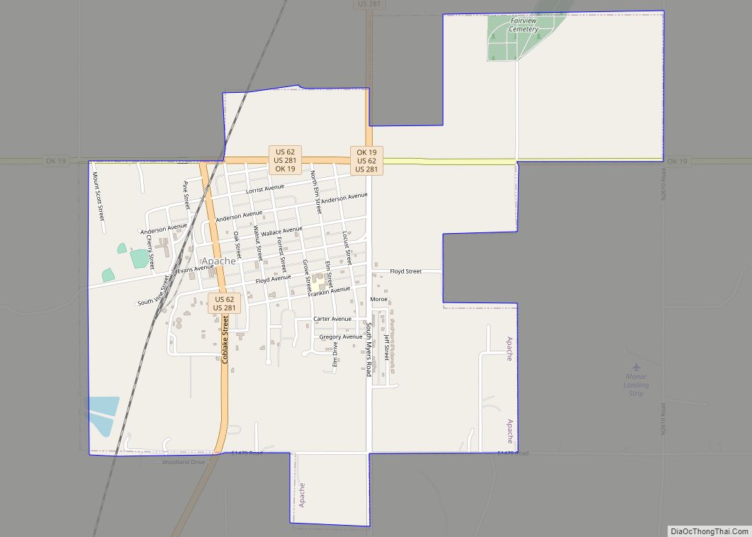
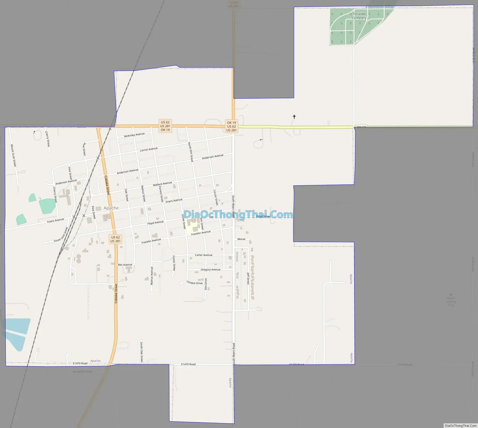
Apache Road Map
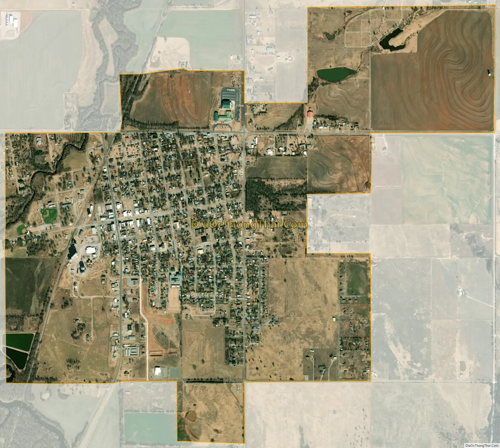
Apache city Satellite Map
Geography
Apache is located at 34°53′41″N 98°21′41″W / 34.89472°N 98.36139°W / 34.89472; -98.36139 (34.894638, -98.361371). The town is 23 miles (37 km) north of Lawton.
According to the United States Census Bureau, the town has a total area of 2.0 square miles (5.2 km), of which, 2.0 square miles (5.2 km) is land and 0.49% is water.
Climate
See also
Map of Oklahoma State and its subdivision:- Adair
- Alfalfa
- Atoka
- Beaver
- Beckham
- Blaine
- Bryan
- Caddo
- Canadian
- Carter
- Cherokee
- Choctaw
- Cimarron
- Cleveland
- Coal
- Comanche
- Cotton
- Craig
- Creek
- Custer
- Delaware
- Dewey
- Ellis
- Garfield
- Garvin
- Grady
- Grant
- Greer
- Harmon
- Harper
- Haskell
- Hughes
- Jackson
- Jefferson
- Johnston
- Kay
- Kingfisher
- Kiowa
- Latimer
- Le Flore
- Lincoln
- Logan
- Love
- Major
- Marshall
- Mayes
- McClain
- McCurtain
- McIntosh
- Murray
- Muskogee
- Noble
- Nowata
- Okfuskee
- Oklahoma
- Okmulgee
- Osage
- Ottawa
- Pawnee
- Payne
- Pittsburg
- Pontotoc
- Pottawatomie
- Pushmataha
- Roger Mills
- Rogers
- Seminole
- Sequoyah
- Stephens
- Texas
- Tillman
- Tulsa
- Wagoner
- Washington
- Washita
- Woods
- Woodward
- Alabama
- Alaska
- Arizona
- Arkansas
- California
- Colorado
- Connecticut
- Delaware
- District of Columbia
- Florida
- Georgia
- Hawaii
- Idaho
- Illinois
- Indiana
- Iowa
- Kansas
- Kentucky
- Louisiana
- Maine
- Maryland
- Massachusetts
- Michigan
- Minnesota
- Mississippi
- Missouri
- Montana
- Nebraska
- Nevada
- New Hampshire
- New Jersey
- New Mexico
- New York
- North Carolina
- North Dakota
- Ohio
- Oklahoma
- Oregon
- Pennsylvania
- Rhode Island
- South Carolina
- South Dakota
- Tennessee
- Texas
- Utah
- Vermont
- Virginia
- Washington
- West Virginia
- Wisconsin
- Wyoming