Ashland is a town in Pittsburg County, Oklahoma, United States. The population was 66 at the 2010 census.
| Name: | Ashland town |
|---|---|
| LSAD Code: | 43 |
| LSAD Description: | town (suffix) |
| State: | Oklahoma |
| County: | Pittsburg County |
| Elevation: | 774 ft (236 m) |
| Total Area: | 0.20 sq mi (0.52 km²) |
| Land Area: | 0.20 sq mi (0.51 km²) |
| Water Area: | 0.00 sq mi (0.01 km²) |
| Total Population: | 35 |
| Population Density: | 175.88/sq mi (68.01/km²) |
| FIPS code: | 4003050 |
| GNISfeature ID: | 1089732 |
Online Interactive Map
Click on ![]() to view map in "full screen" mode.
to view map in "full screen" mode.
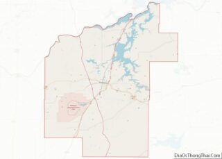
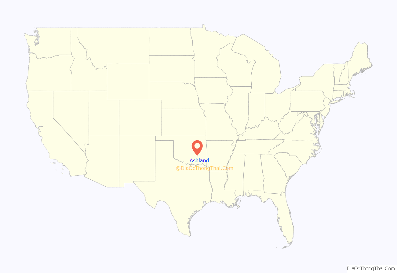
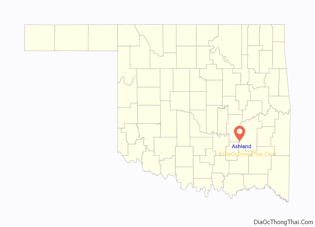
Ashland location map. Where is Ashland town?
History
Residents of the young community applied for a United States Post Office to be established using the name “Pearl City.” Postal officials did not agree to their choice of names, doubtless because of the existence of a post office at Pearl in Woodward County, Oklahoma Territory. Federal officials were already anticipating the union of the “twin territories” into a single state, and postal officials did not want two post offices in the same state using such similar names. They substituted Ashland instead, and a post office opened at Ashland, Indian Territory on October 1, 1902. At the time of its founding, Ashland was located in Tobucksy County, Choctaw Nation.
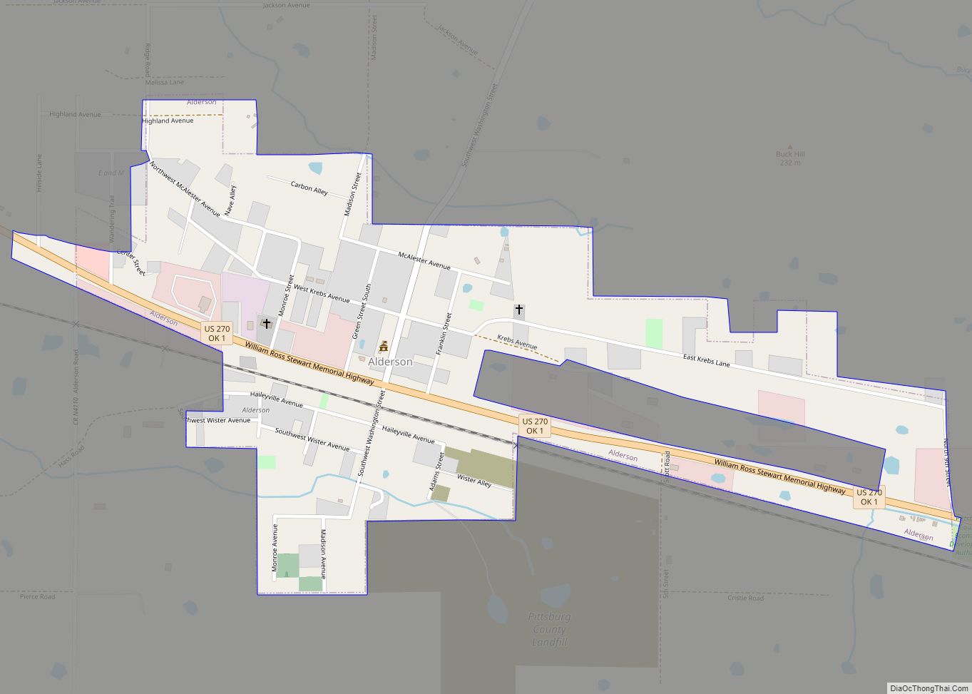
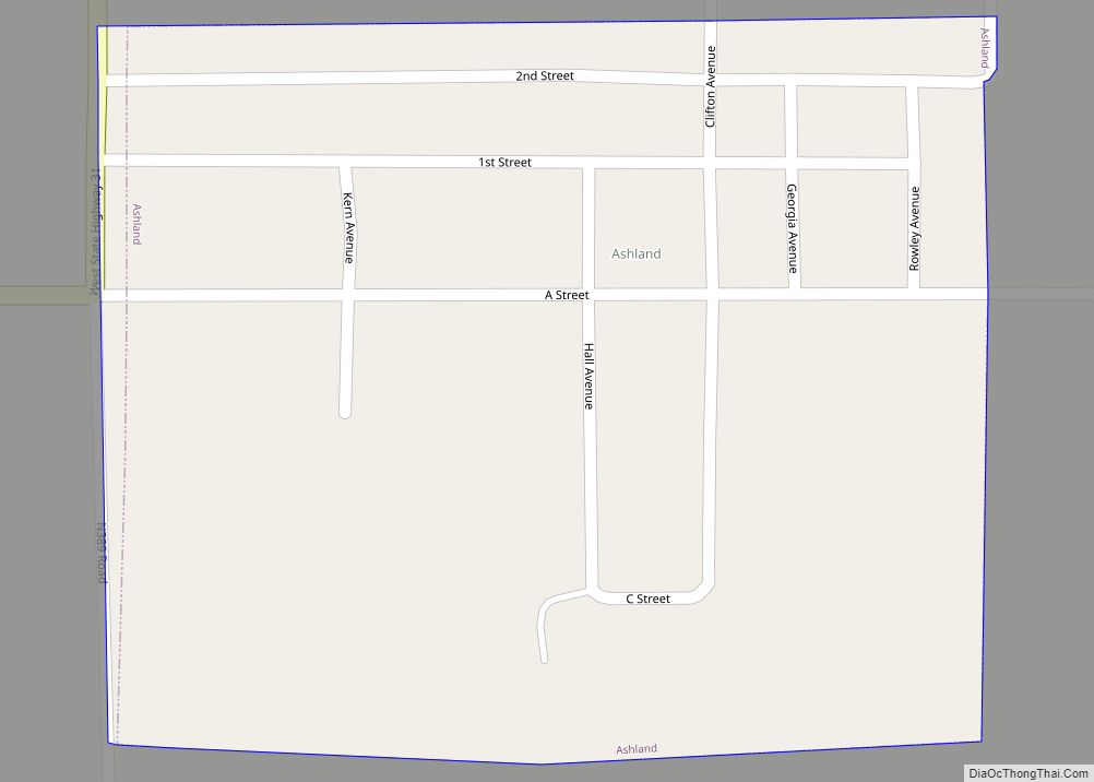
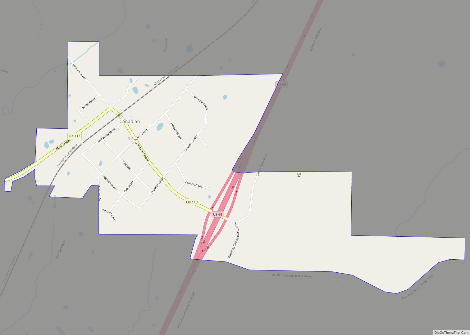
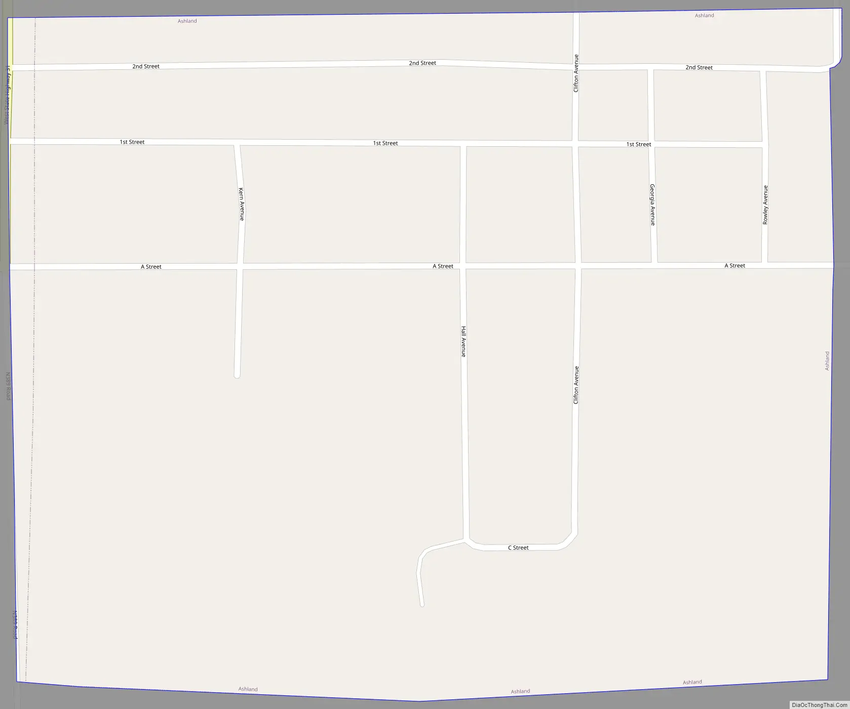
Ashland Road Map
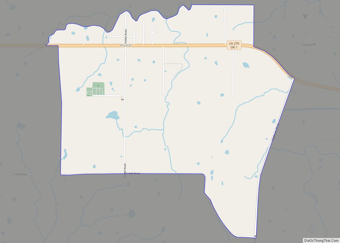
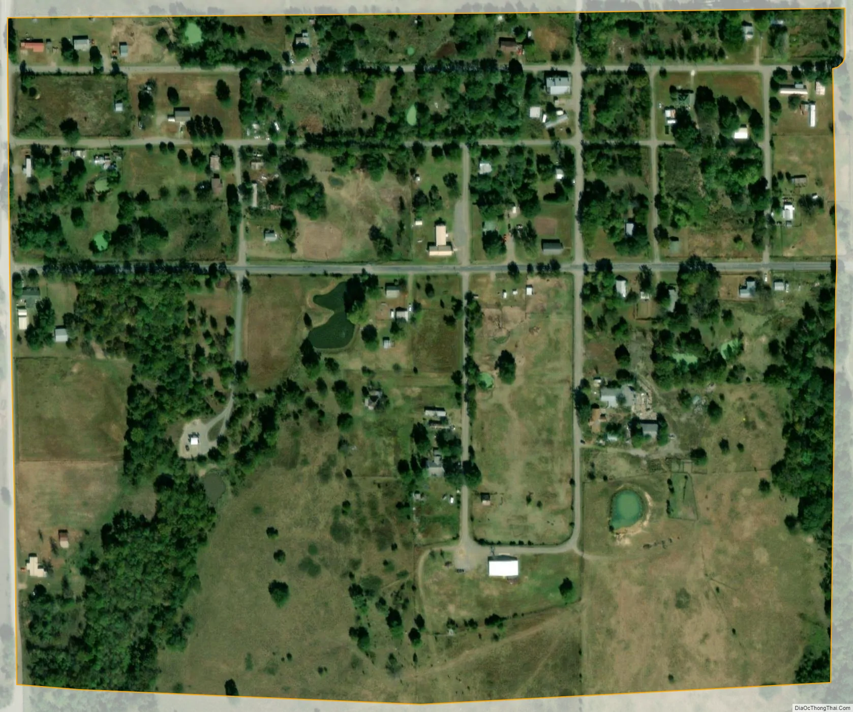
Ashland city Satellite Map
Geography
Ashland is located at 34°46′5″N 96°4′11″W / 34.76806°N 96.06972°W / 34.76806; -96.06972 (34.768133, -96.069752). According to the United States Census Bureau, the town has a total area of 0.2 square miles (0.52 km), all land.
See also
Map of Oklahoma State and its subdivision:- Adair
- Alfalfa
- Atoka
- Beaver
- Beckham
- Blaine
- Bryan
- Caddo
- Canadian
- Carter
- Cherokee
- Choctaw
- Cimarron
- Cleveland
- Coal
- Comanche
- Cotton
- Craig
- Creek
- Custer
- Delaware
- Dewey
- Ellis
- Garfield
- Garvin
- Grady
- Grant
- Greer
- Harmon
- Harper
- Haskell
- Hughes
- Jackson
- Jefferson
- Johnston
- Kay
- Kingfisher
- Kiowa
- Latimer
- Le Flore
- Lincoln
- Logan
- Love
- Major
- Marshall
- Mayes
- McClain
- McCurtain
- McIntosh
- Murray
- Muskogee
- Noble
- Nowata
- Okfuskee
- Oklahoma
- Okmulgee
- Osage
- Ottawa
- Pawnee
- Payne
- Pittsburg
- Pontotoc
- Pottawatomie
- Pushmataha
- Roger Mills
- Rogers
- Seminole
- Sequoyah
- Stephens
- Texas
- Tillman
- Tulsa
- Wagoner
- Washington
- Washita
- Woods
- Woodward
- Alabama
- Alaska
- Arizona
- Arkansas
- California
- Colorado
- Connecticut
- Delaware
- District of Columbia
- Florida
- Georgia
- Hawaii
- Idaho
- Illinois
- Indiana
- Iowa
- Kansas
- Kentucky
- Louisiana
- Maine
- Maryland
- Massachusetts
- Michigan
- Minnesota
- Mississippi
- Missouri
- Montana
- Nebraska
- Nevada
- New Hampshire
- New Jersey
- New Mexico
- New York
- North Carolina
- North Dakota
- Ohio
- Oklahoma
- Oregon
- Pennsylvania
- Rhode Island
- South Carolina
- South Dakota
- Tennessee
- Texas
- Utah
- Vermont
- Virginia
- Washington
- West Virginia
- Wisconsin
- Wyoming