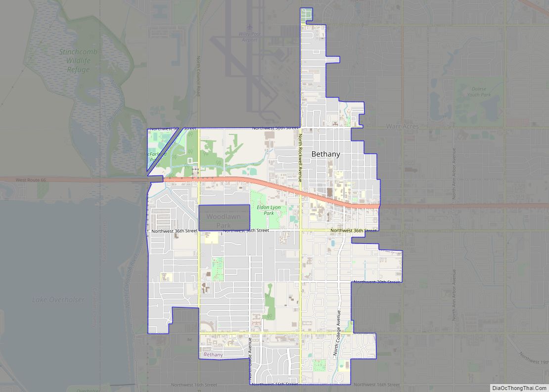
Bethany is a city in Oklahoma County, Oklahoma, United States, and a part of the Oklahoma City metropolitan area. Bethany has a population of 20,831 at the 2020 census, a 9.3% increase from 2010. The community was founded in 1909 by followers of the Church of the Nazarene from Oklahoma City.
| Name: | Bethany city |
|---|---|
| LSAD Code: | 25 |
| LSAD Description: | city (suffix) |
| State: | Oklahoma |
| County: | Oklahoma County |
| Elevation: | 1,309 ft (399 m) |
| Total Area: | 5.23 sq mi (13.54 km²) |
| Land Area: | 5.23 sq mi (13.54 km²) |
| Water Area: | 0.00 sq mi (0.00 km²) |
| Total Population: | 20,831 |
| Population Density: | 3,984.51/sq mi (1,538.38/km²) |
| ZIP code: | 73008 |
| Area code: | 405 |
| FIPS code: | 4005700 |
| GNISfeature ID: | 1090023 |
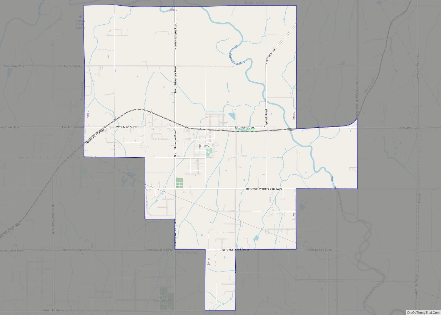
Online Interactive Map
Click on ![]() to view map in "full screen" mode.
to view map in "full screen" mode.
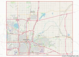
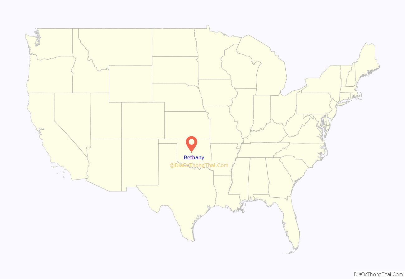
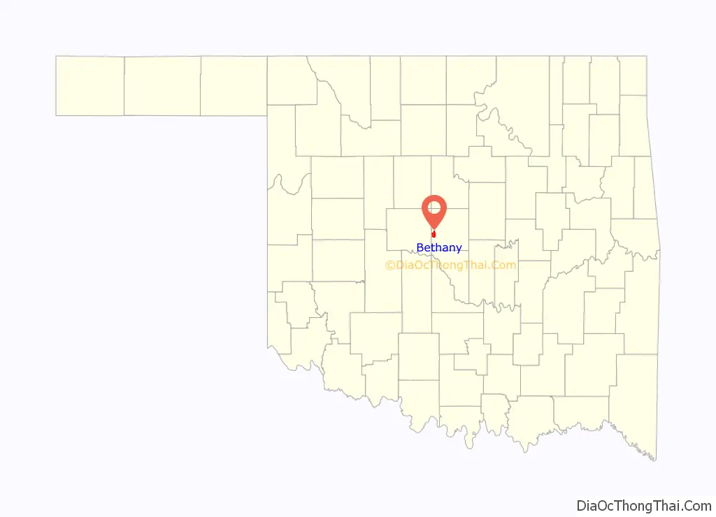
Bethany location map. Where is Bethany city?
History
Bethany was founded July 28, 1909 as a community where members of the Church of the Nazarene, an evangelical Christian movement that developed from Holiness churches, could practice their religious beliefs without interference by non-members. The town was named after the biblical place of Bethany. The community quickly founded Oklahoma Holiness College (now known as Southern Nazarene University, SNU). Two other institutions were soon established, the Oklahoma Orphanage (now the Children’s Center, a medical facility) operated by Mattie Mallory, and the Nazarene Rescue Home for unwed mothers.
Bethany incorporated on August 8, 1910 as a rural town; its economy depended on the surrounding farmlands. It gained a post office on March 11, 1913. With a relatively large population of conservative Nazarenes, the town council soon enacted strict blue laws that banned alcohol, tobacco, gambling, dancing, movies, swearing, and working on Sundays. After Bethany reorganized as a first class city in 1931, it relaxed these laws to some extent.
An F4 tornado struck Bethany on November 19, 1930, killing 23 people and destroying 652 buildings. It is one of three documented violent November tornadoes in Oklahoma since 1900. Recovery from the storm was slow until the outbreak of World War II. Defense industries rapidly developed in the area, and the city added population as bedroom community, or suburb for workers commuting to Oklahoma City.
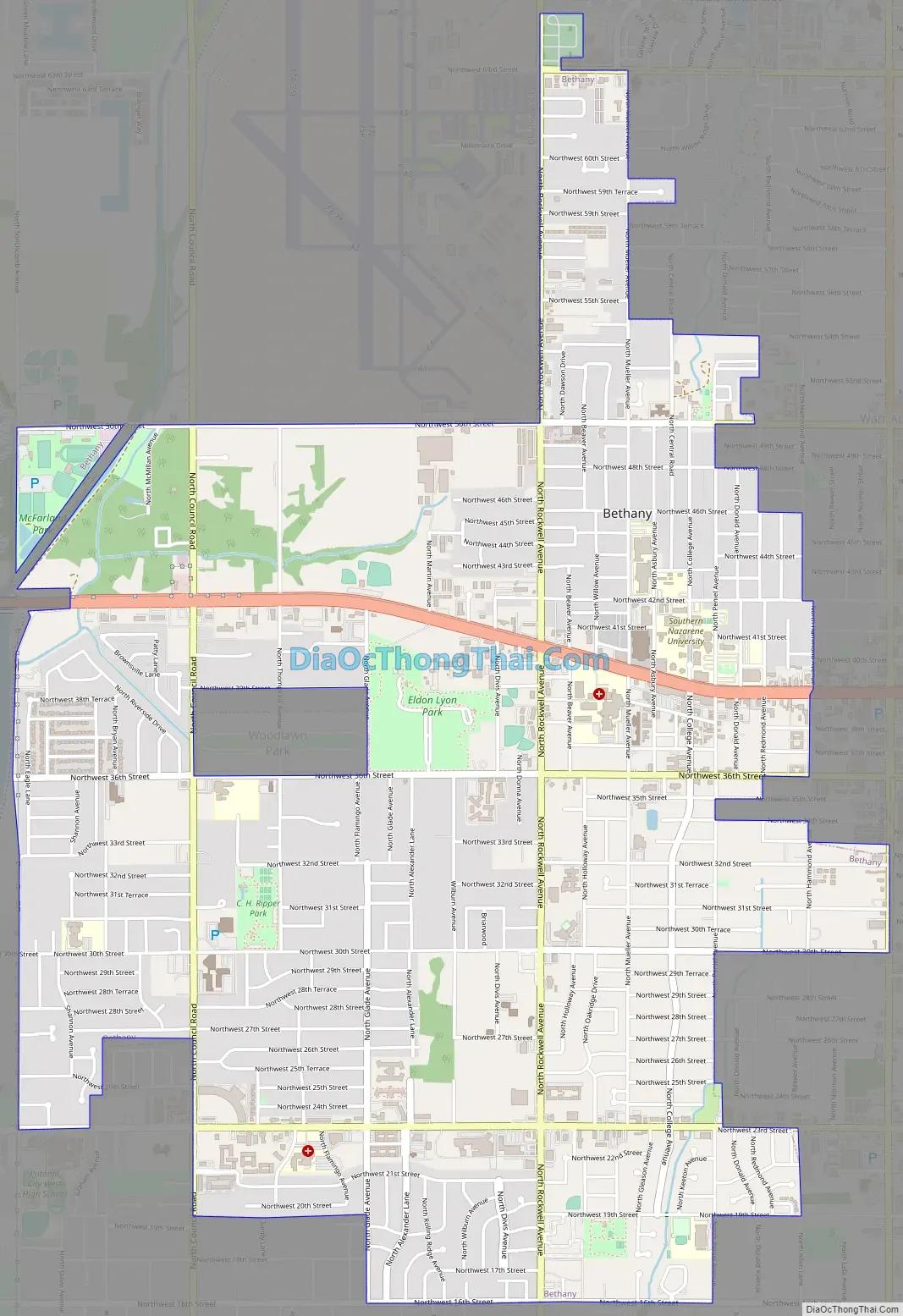
Bethany Road Map
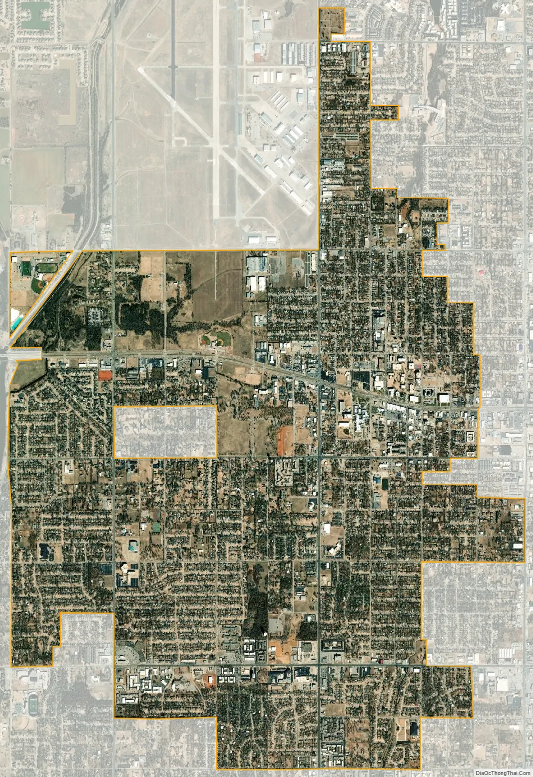
Bethany city Satellite Map
Geography
Bethany is located at 35°30′17″N 97°38′20″W / 35.50472°N 97.63889°W / 35.50472; -97.63889 (35.504607, -97.638818).
The city is in the central part of Oklahoma County, approximately 10 miles (16 km) west of downtown Oklahoma City, and is bounded by Warr Acres on the east and by Lake Overholser and Stinchcomb Wildlife Refuge on the west.
According to the United States Census Bureau, the city has a total area of 5.2 square miles (13 km), all land.
See also
Map of Oklahoma State and its subdivision:- Adair
- Alfalfa
- Atoka
- Beaver
- Beckham
- Blaine
- Bryan
- Caddo
- Canadian
- Carter
- Cherokee
- Choctaw
- Cimarron
- Cleveland
- Coal
- Comanche
- Cotton
- Craig
- Creek
- Custer
- Delaware
- Dewey
- Ellis
- Garfield
- Garvin
- Grady
- Grant
- Greer
- Harmon
- Harper
- Haskell
- Hughes
- Jackson
- Jefferson
- Johnston
- Kay
- Kingfisher
- Kiowa
- Latimer
- Le Flore
- Lincoln
- Logan
- Love
- Major
- Marshall
- Mayes
- McClain
- McCurtain
- McIntosh
- Murray
- Muskogee
- Noble
- Nowata
- Okfuskee
- Oklahoma
- Okmulgee
- Osage
- Ottawa
- Pawnee
- Payne
- Pittsburg
- Pontotoc
- Pottawatomie
- Pushmataha
- Roger Mills
- Rogers
- Seminole
- Sequoyah
- Stephens
- Texas
- Tillman
- Tulsa
- Wagoner
- Washington
- Washita
- Woods
- Woodward
- Alabama
- Alaska
- Arizona
- Arkansas
- California
- Colorado
- Connecticut
- Delaware
- District of Columbia
- Florida
- Georgia
- Hawaii
- Idaho
- Illinois
- Indiana
- Iowa
- Kansas
- Kentucky
- Louisiana
- Maine
- Maryland
- Massachusetts
- Michigan
- Minnesota
- Mississippi
- Missouri
- Montana
- Nebraska
- Nevada
- New Hampshire
- New Jersey
- New Mexico
- New York
- North Carolina
- North Dakota
- Ohio
- Oklahoma
- Oregon
- Pennsylvania
- Rhode Island
- South Carolina
- South Dakota
- Tennessee
- Texas
- Utah
- Vermont
- Virginia
- Washington
- West Virginia
- Wisconsin
- Wyoming