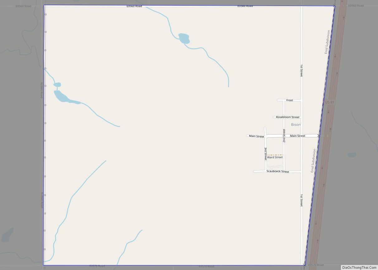
Bison is an unincorporated community and census-designated place (CDP) located on US Highway 81 in Garfield County, Oklahoma, United States, consisting of a 30-acre (12 ha) town plat. As of the 2010 census, it had a population of 65.
The community was named for nearby Buffalo Springs, a historic stagecoach stop and a watering hole on the Chisholm Trail located about a mile north of Bison. Bison is home to a Catholic community, part of St. Joseph’s parish under the Archdiocese of Oklahoma City. The church was erected in 1909, followed by a two-story brick school building operated by the Sisters of the Divine Providence from 1911 to 1934, when the Adorers of the Blood of Christ took over.
Bison’s economy is agricultural and oil-based with oil wells on several farms and grain elevators by the Bison Cooperative Association, Star Mill and Burrus Mill companies. Bison was home to Bison State Bank from 1900 until 1933, when it closed due to the Great Depression. The Hotel Woodring was established in 1900 by Irvin and Ella Woodring, the parents of Irvin “Bertie” Woodring, for whom Enid Woodring Regional Airport is named. The post office opened on August 31, 1901. The Bison Mercantile Company was originally established as a grocery store by W.J. Scrichfield in 1900 and operated until 1958 when it was purchased by the Bison Cooperative Association. The co-op was established in 1920, the same year that Oklahoma Gas & Electric brought electricity to the town.
| Name: | Bison CDP |
|---|---|
| LSAD Code: | 57 |
| LSAD Description: | CDP (suffix) |
| State: | Oklahoma |
| County: | Garfield County |
| Elevation: | 1,250 ft (380 m) |
| Total Area: | 1.06 sq mi (2.74 km²) |
| Land Area: | 1.06 sq mi (2.74 km²) |
| Water Area: | 0.00 sq mi (0.00 km²) |
| Total Population: | 56 |
| Population Density: | 52.88/sq mi (20.41/km²) |
| ZIP code: | 73720 |
| Area code: | 580 |
| FIPS code: | 4006350 |
| GNISfeature ID: | 1090170 |
Online Interactive Map
Click on ![]() to view map in "full screen" mode.
to view map in "full screen" mode.
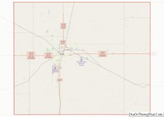
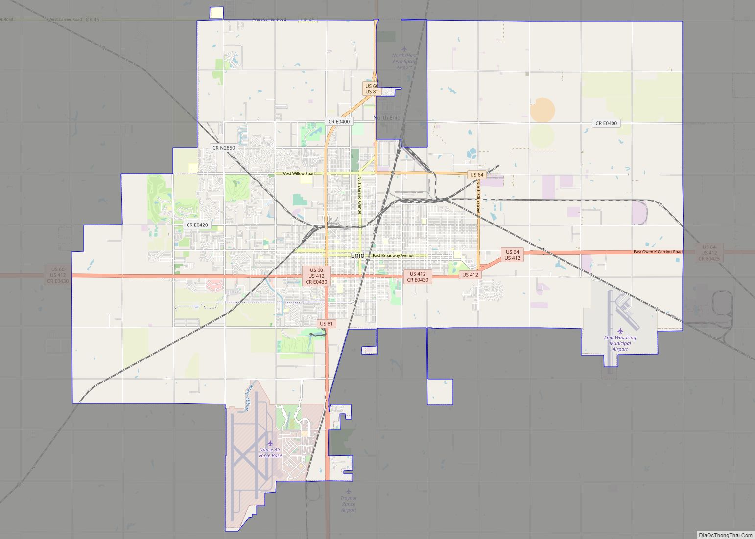
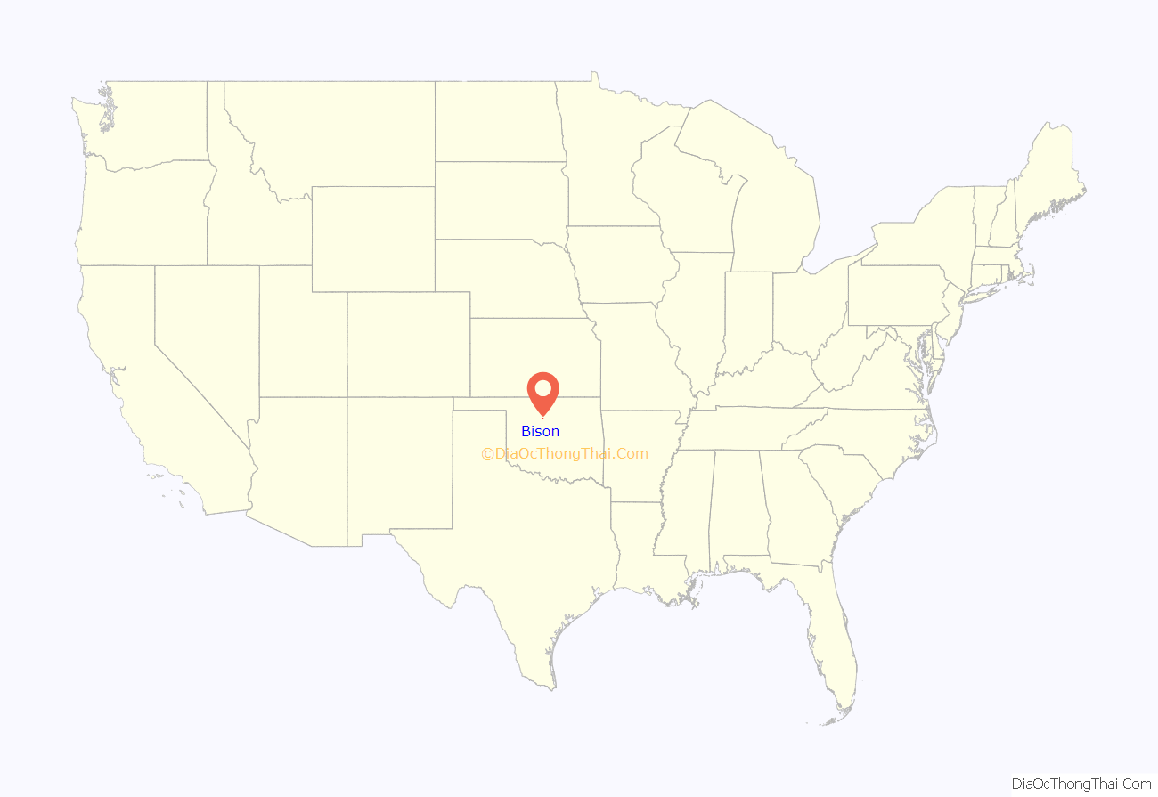
Bison location map. Where is Bison CDP?
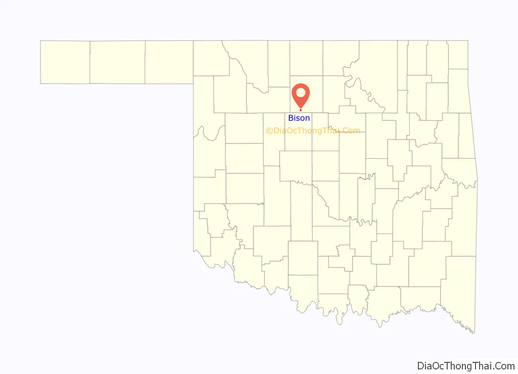
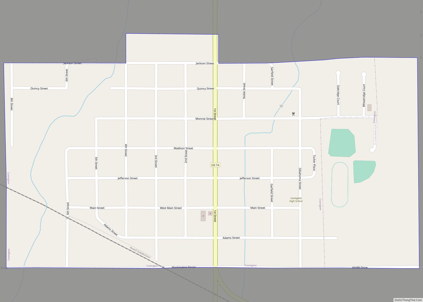
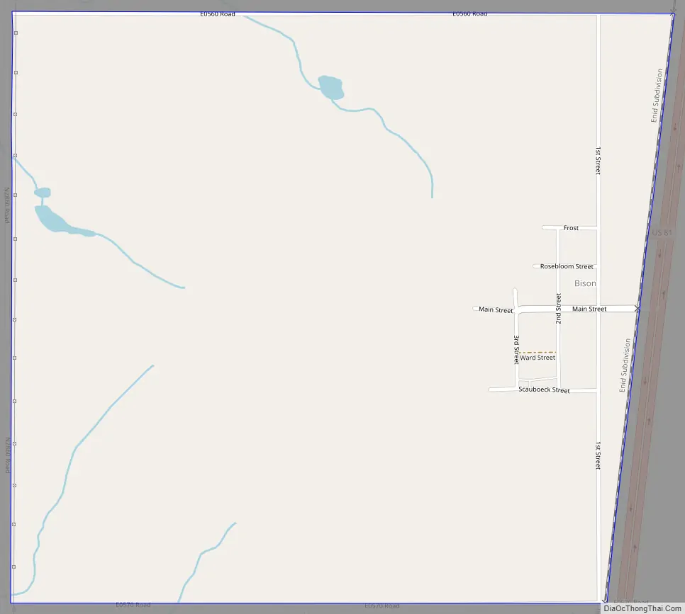
Bison Road Map
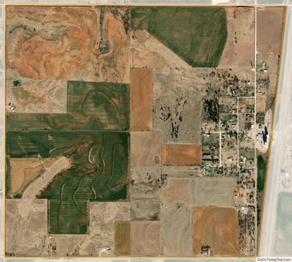
Bison city Satellite Map
Geography
Bison is located in southern Garfield County on the west side of US Highway 81, which leads north 14 miles (23 km) to Enid, the county seat, and south 6 miles (10 km) to Hennessey. According to the U.S. Census Bureau, the Bison CDP has an area of 1.06 square miles (2.74 km), all land.
Climate
See also
Map of Oklahoma State and its subdivision:- Adair
- Alfalfa
- Atoka
- Beaver
- Beckham
- Blaine
- Bryan
- Caddo
- Canadian
- Carter
- Cherokee
- Choctaw
- Cimarron
- Cleveland
- Coal
- Comanche
- Cotton
- Craig
- Creek
- Custer
- Delaware
- Dewey
- Ellis
- Garfield
- Garvin
- Grady
- Grant
- Greer
- Harmon
- Harper
- Haskell
- Hughes
- Jackson
- Jefferson
- Johnston
- Kay
- Kingfisher
- Kiowa
- Latimer
- Le Flore
- Lincoln
- Logan
- Love
- Major
- Marshall
- Mayes
- McClain
- McCurtain
- McIntosh
- Murray
- Muskogee
- Noble
- Nowata
- Okfuskee
- Oklahoma
- Okmulgee
- Osage
- Ottawa
- Pawnee
- Payne
- Pittsburg
- Pontotoc
- Pottawatomie
- Pushmataha
- Roger Mills
- Rogers
- Seminole
- Sequoyah
- Stephens
- Texas
- Tillman
- Tulsa
- Wagoner
- Washington
- Washita
- Woods
- Woodward
- Alabama
- Alaska
- Arizona
- Arkansas
- California
- Colorado
- Connecticut
- Delaware
- District of Columbia
- Florida
- Georgia
- Hawaii
- Idaho
- Illinois
- Indiana
- Iowa
- Kansas
- Kentucky
- Louisiana
- Maine
- Maryland
- Massachusetts
- Michigan
- Minnesota
- Mississippi
- Missouri
- Montana
- Nebraska
- Nevada
- New Hampshire
- New Jersey
- New Mexico
- New York
- North Carolina
- North Dakota
- Ohio
- Oklahoma
- Oregon
- Pennsylvania
- Rhode Island
- South Carolina
- South Dakota
- Tennessee
- Texas
- Utah
- Vermont
- Virginia
- Washington
- West Virginia
- Wisconsin
- Wyoming