Enid (/ˈiːnɪd/ EE-nid) is the ninth-largest city in the U.S. state of Oklahoma. It is the county seat of Garfield County. As of the 2020 census, the population was 51,308. Enid was founded during the opening of the Cherokee Outlet in the Land Run of 1893, and is named after Enid, a character in Alfred, Lord Tennyson’s Idylls of the King. In 1991, the Oklahoma state legislature designated Enid the “purple martin capital of Oklahoma.” Enid holds the nickname of “Queen Wheat City” and “Wheat Capital” of Oklahoma and the United States for its immense grain storage capacity, and has the third-largest grain storage capacity in the world.
| Name: | Enid city |
|---|---|
| LSAD Code: | 25 |
| LSAD Description: | city (suffix) |
| State: | Oklahoma |
| County: | Garfield County |
| Founded: | 1893 |
| Elevation: | 1,240 ft (380 m) |
| Land Area: | 73.94 sq mi (191.49 km²) |
| Water Area: | 0.08 sq mi (0.21 km²) |
| Population Density: | 693.95/sq mi (267.94/km²) |
| Area code: | 580 |
| FIPS code: | 4023950 |
| GNISfeature ID: | 1092626 |
| Website: | www.enid.org |
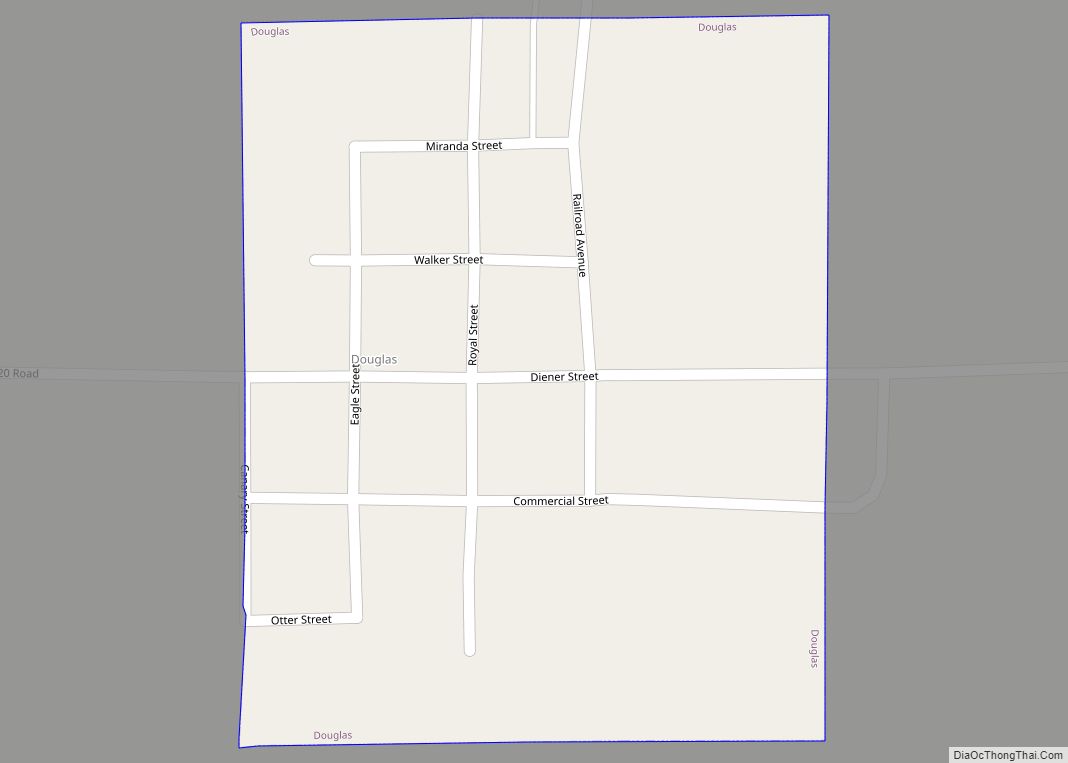
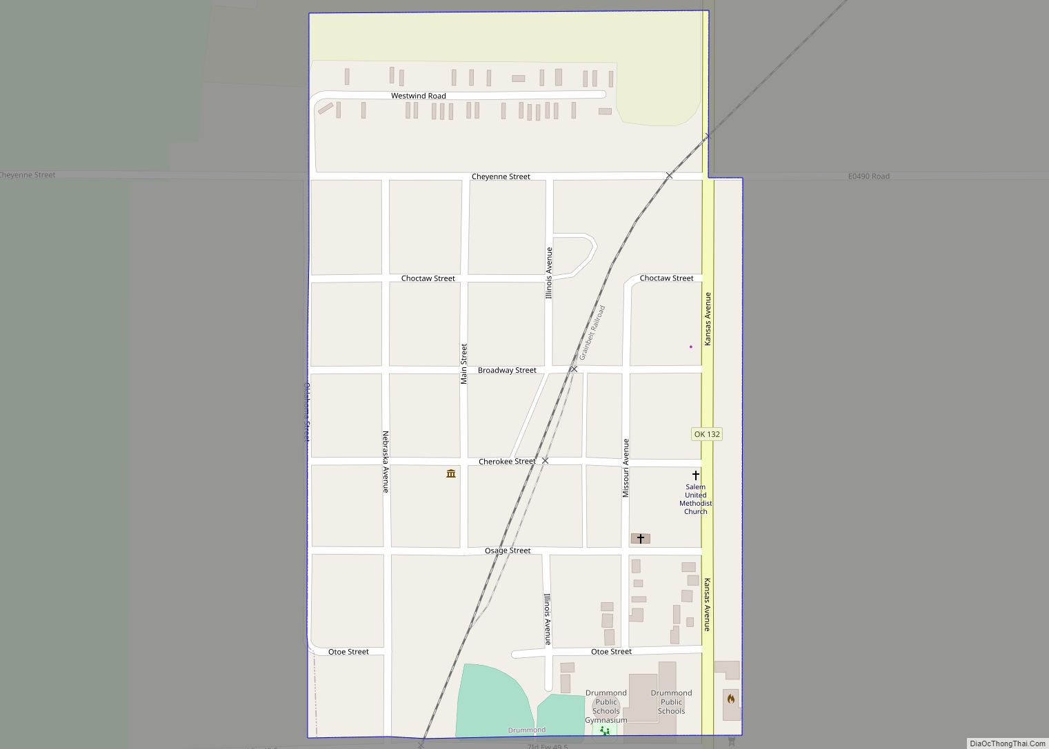
Online Interactive Map
Click on ![]() to view map in "full screen" mode.
to view map in "full screen" mode.
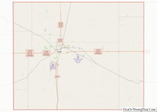
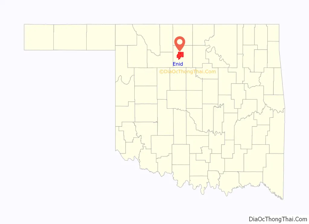
Enid location map. Where is Enid city?

History
In summer 1889, M.A. Low, a Rock Island official, visited the local railroad station then under construction, and inquired about its name. At that time, it was called Skeleton. Disliking the original name, he renamed the station Enid, after a character in Alfred Lord Tennyson’s Idylls of the King. However, a more fanciful story of how the town received its name is popular. According to that tale, in the days following the land run, some enterprising settlers decided to set up a chuckwagon and cook for their fellow pioneers, hanging a sign that read “DINE”. Some other, more free-spirited settlers, turned that sign backward to read, of course, “ENID”. The name stuck.
During the opening of the Cherokee Outlet in the Land Run of 1893, Enid was the location of a land office which is now preserved in its Humphrey Heritage Village, part of the Cherokee Strip Regional Heritage Center. Enid, the rail station, (now North Enid, Oklahoma) was the original town site endorsed by the government. It was platted by the surveyor W. D. Twichell, then of Amarillo, Texas.
The Enid-Pond Creek Railroad War ensued when the Department of the Interior moved the government site 3 mi (5 km) south of the station prior to the land run, which was then called South Enid. During the run, due to the Rock Island’s refusal to stop, people leaped from the trains to stake their claim in the government-endorsed site. By the afternoon of the run, Enid’s population was estimated at 12,000 people located in the Enid’s 80-acre (320,000 m) town plat. Enid’s original plat in 1893 was 6 blocks wide by 11 blocks long consisting of the town square on the northwest end, West Hill (Jefferson) school on the southwest end, Government Springs Park in the middle southern section, and East Hill (Garfield) school on the far northeast corner. A year later, the population was estimated at 4,410, growing to 10,087 by 1907, the year of Oklahoma statehood.
The town’s early history was captured in Cherokee Strip: A Tale of an Oklahoma Boyhood by Pulitzer Prize-winning author Marquis James, who recounts his boyhood in Enid.
He writes of the early town:
Enid experienced a “golden age” following the discovery of oil in the region in the 1910s and continuing until World War II. Enid’s economy boomed as a result of the growing oil, wheat, and rail industries, and its population grew steadily throughout the early 20th century in conjunction with a period of substantial architectural development and land expansion. Enid’s downtown had the construction of several buildings including the Broadway Tower, Garfield County Courthouse, and Enid Masonic Temple. In conjunction with the oil boom, oilmen such as T. T. Eason, H. H. Champlin, and Charles E. Knox built homes in the area. Residential additions during this period include Kenwood, Waverley, Weatherly, East Hill, Kinser Heights, Buena Vista, and McKinley. Union Equity, Continental, Pillsbury, General Mills, and other grain companies operated mills and grain elevators in the area, creating what is now the Enid Terminal Grain Elevators Historic District, and earning Enid the titles of “Wheat Capital of Oklahoma”, “Queen Wheat City of Oklahoma,” and “Wheat Capital of the United States”
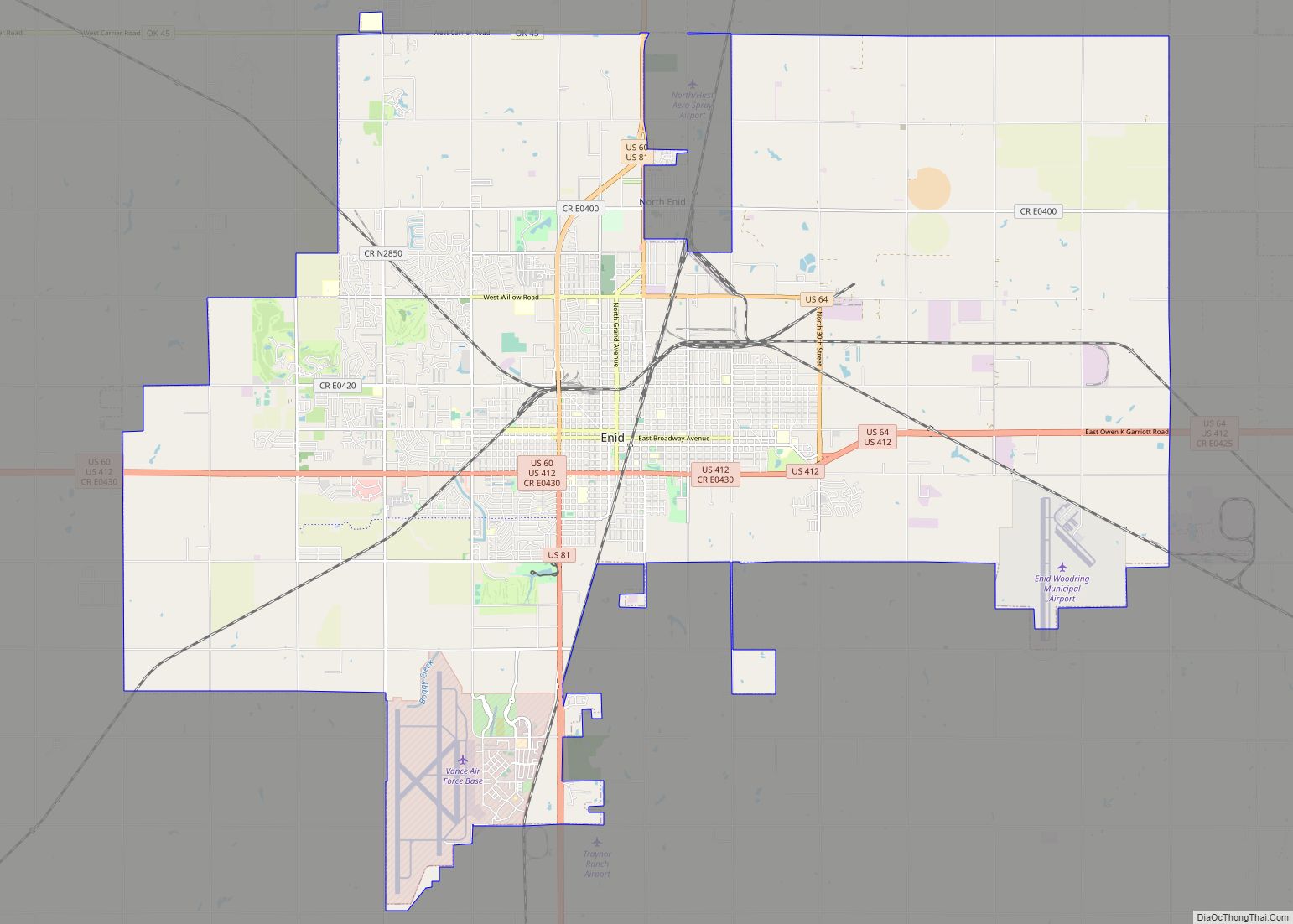
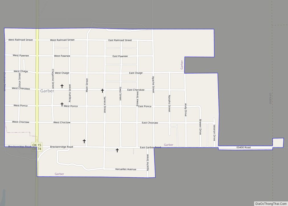
Enid Road Map

Enid city Satellite Map

Geography
Located in Northwestern Oklahoma, Enid sits at the eastern edge of the Great Plains. It is located at 36°24′2″N 97°52′51″W / 36.40056°N 97.88083°W / 36.40056; -97.88083 (36.400583, -97.880784), 70 miles (110 km) north of Oklahoma City. According to the United States Census Bureau, the city has a total area of 74.1 square miles (192 km), of which 74.0 square miles (192 km) is land and 0.1 square miles (0.26 km) (0.12%) is water.
Climate
Enid’s weather conditions are characterized by hot summers, cold, often snowy winters, and thunderstorms in the spring, which can produce tornadoes. The greatest one-day precipitation total by an official rain gauge in Oklahoma was in Enid when 15.68 inches (398.3 mm) fell on October 11, 1973. Temperatures can fall below 0 °F or −17.8 °C in the winter, and reach above 100 °F or 37.8 °C in the summer. The highest recorded temperature was 118 °F (47.8 °C) in 1936, and the lowest recorded temperature was −20 °F (−28.9 °C) in 1905. On average, the warmest month is July, January is the coolest month, and the maximum average precipitation occurs in June.
An ice storm struck Northwest Oklahoma in late January 2002. The storm caused over $100 million of damage, initially leaving some 255,000 residences and businesses without power. A week later, 39,000 Oklahoma residents were still without power. Enid, with its population of 47,000, was entirely without electricity for days. The Oklahoma Association of Electric Cooperatives reported over 31,000 electrical poles were destroyed across the state. The American Red Cross set up a shelter at Northern Oklahoma College.
Some other notable storms in Enid’s history include:
- March 16, 1965, an F4 tornado 18.4 miles (29.6 km) away from the city center injured seven people and caused between $50,000 and $500,000 in damages.
- October 11–13, 1973, Oklahoma’s greatest urban rainfall on record occurred. Known as the “Enid flood”, an intense thunderstorm was centered over Enid with rainfall accumulations between 15 and 20 inches within a 100-square-mile (260 km) area. About 12 inches (300 mm) fell in three hours. Enid received 15.68 inches (398 mm), forcing residents to cut holes in rooftops to reach safety. Nine people died.
- May 2, 1979, an F4 tornado 7.5 miles (12.1 km) away from the Enid city center killed one person, injured 25 people and caused between $500,000 and $5,000,000 in damages.
- April 25, 2009, an EF-2 tornado damaged the Chisholm Trail Expo Center. No one was injured or killed.
See also
Map of Oklahoma State and its subdivision:- Adair
- Alfalfa
- Atoka
- Beaver
- Beckham
- Blaine
- Bryan
- Caddo
- Canadian
- Carter
- Cherokee
- Choctaw
- Cimarron
- Cleveland
- Coal
- Comanche
- Cotton
- Craig
- Creek
- Custer
- Delaware
- Dewey
- Ellis
- Garfield
- Garvin
- Grady
- Grant
- Greer
- Harmon
- Harper
- Haskell
- Hughes
- Jackson
- Jefferson
- Johnston
- Kay
- Kingfisher
- Kiowa
- Latimer
- Le Flore
- Lincoln
- Logan
- Love
- Major
- Marshall
- Mayes
- McClain
- McCurtain
- McIntosh
- Murray
- Muskogee
- Noble
- Nowata
- Okfuskee
- Oklahoma
- Okmulgee
- Osage
- Ottawa
- Pawnee
- Payne
- Pittsburg
- Pontotoc
- Pottawatomie
- Pushmataha
- Roger Mills
- Rogers
- Seminole
- Sequoyah
- Stephens
- Texas
- Tillman
- Tulsa
- Wagoner
- Washington
- Washita
- Woods
- Woodward
- Alabama
- Alaska
- Arizona
- Arkansas
- California
- Colorado
- Connecticut
- Delaware
- District of Columbia
- Florida
- Georgia
- Hawaii
- Idaho
- Illinois
- Indiana
- Iowa
- Kansas
- Kentucky
- Louisiana
- Maine
- Maryland
- Massachusetts
- Michigan
- Minnesota
- Mississippi
- Missouri
- Montana
- Nebraska
- Nevada
- New Hampshire
- New Jersey
- New Mexico
- New York
- North Carolina
- North Dakota
- Ohio
- Oklahoma
- Oregon
- Pennsylvania
- Rhode Island
- South Carolina
- South Dakota
- Tennessee
- Texas
- Utah
- Vermont
- Virginia
- Washington
- West Virginia
- Wisconsin
- Wyoming