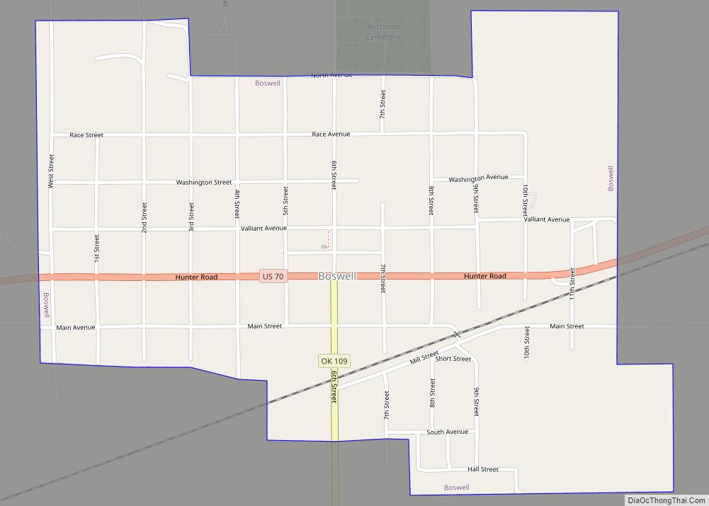
Boswell is a town in Choctaw County, Oklahoma, United States. The population was 709 at the 2010 census.
| Name: | Boswell town |
|---|---|
| LSAD Code: | 43 |
| LSAD Description: | town (suffix) |
| State: | Oklahoma |
| County: | Choctaw County |
| Elevation: | 610 ft (186 m) |
| Total Area: | 0.77 sq mi (1.99 km²) |
| Land Area: | 0.76 sq mi (1.96 km²) |
| Water Area: | 0.01 sq mi (0.03 km²) |
| Total Population: | 579 |
| Population Density: | 764.86/sq mi (295.16/km²) |
| ZIP code: | 74727 |
| Area code: | 580 |
| FIPS code: | 4007750 |
| GNISfeature ID: | 1090411 |
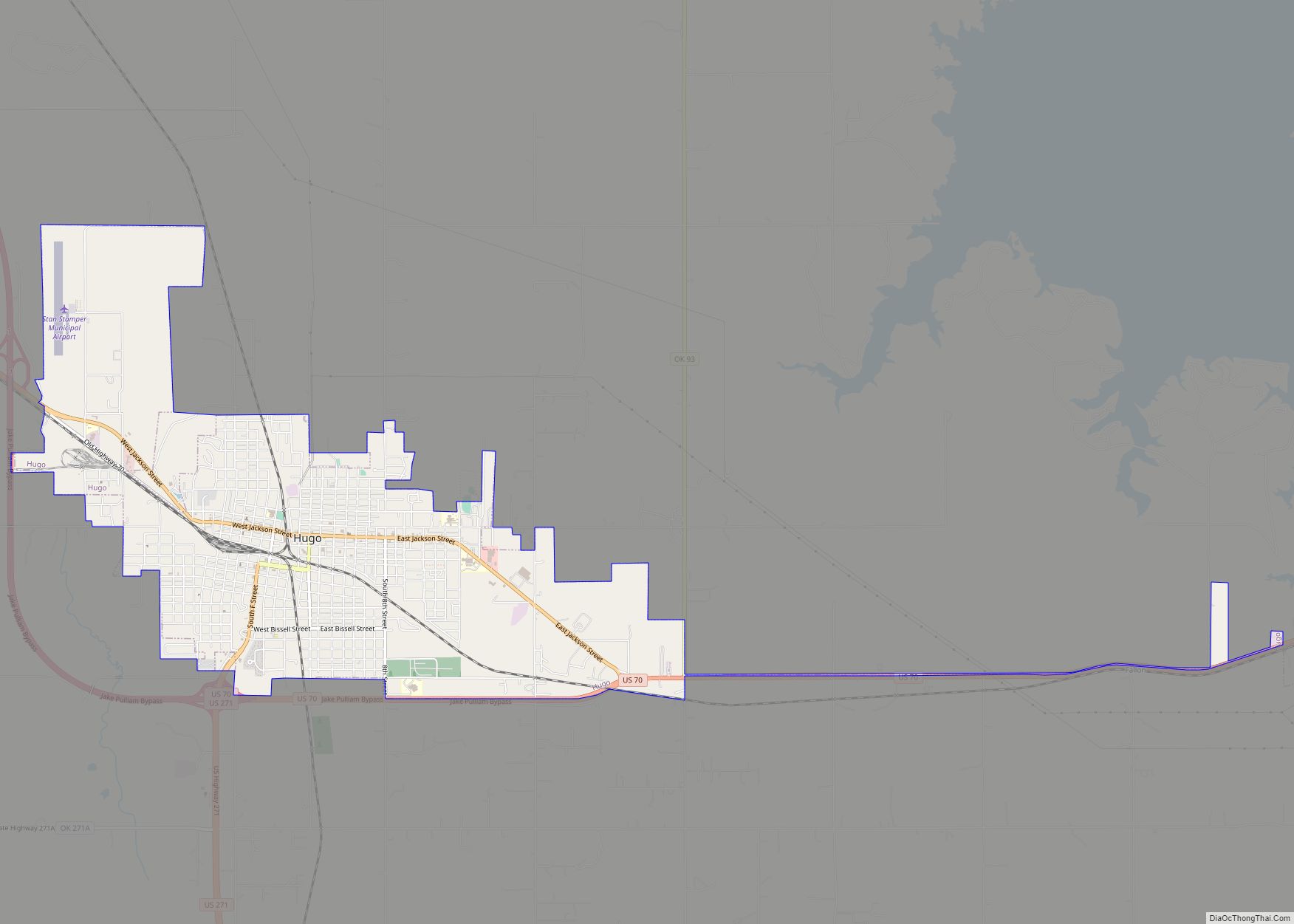
Online Interactive Map
Click on ![]() to view map in "full screen" mode.
to view map in "full screen" mode.
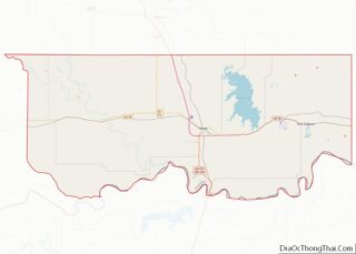
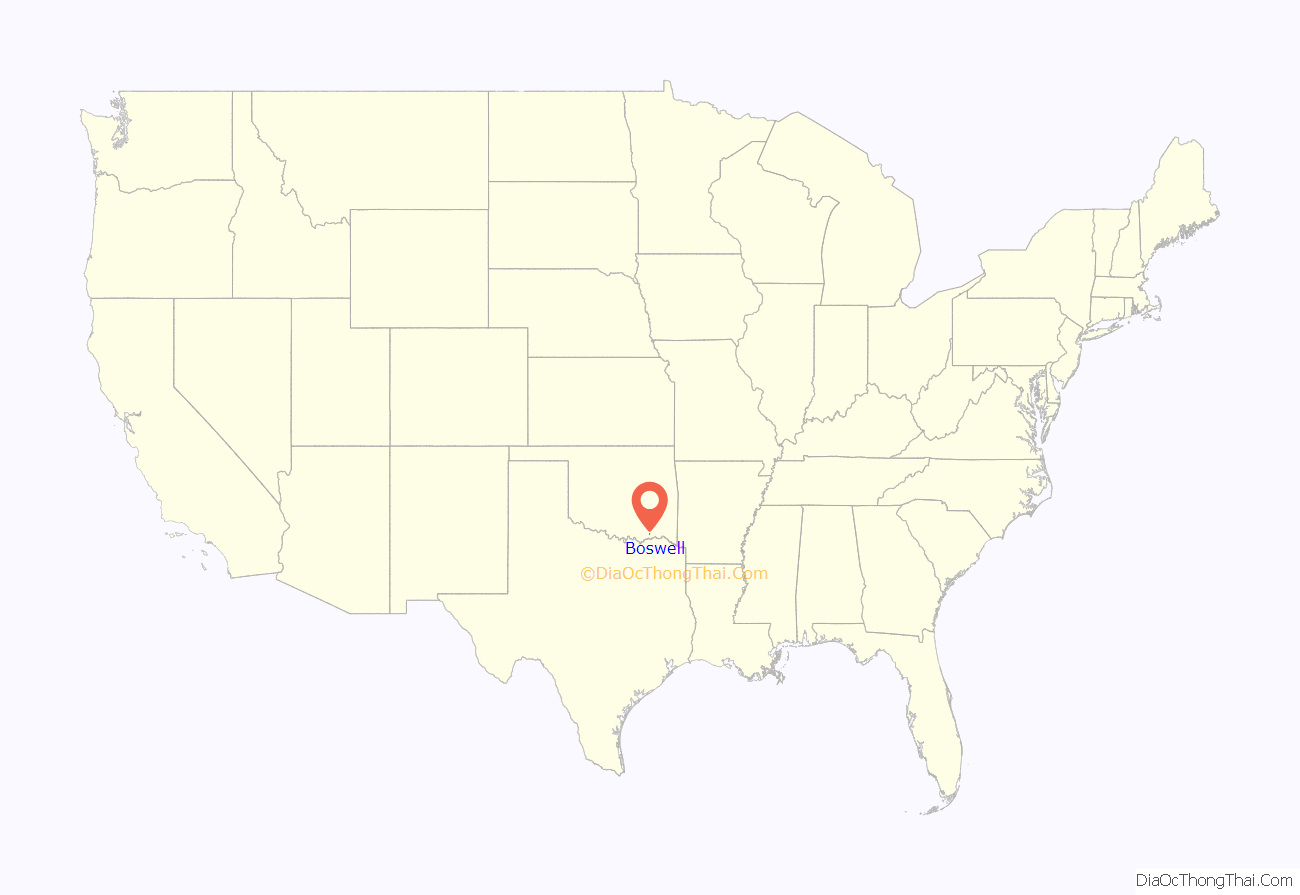
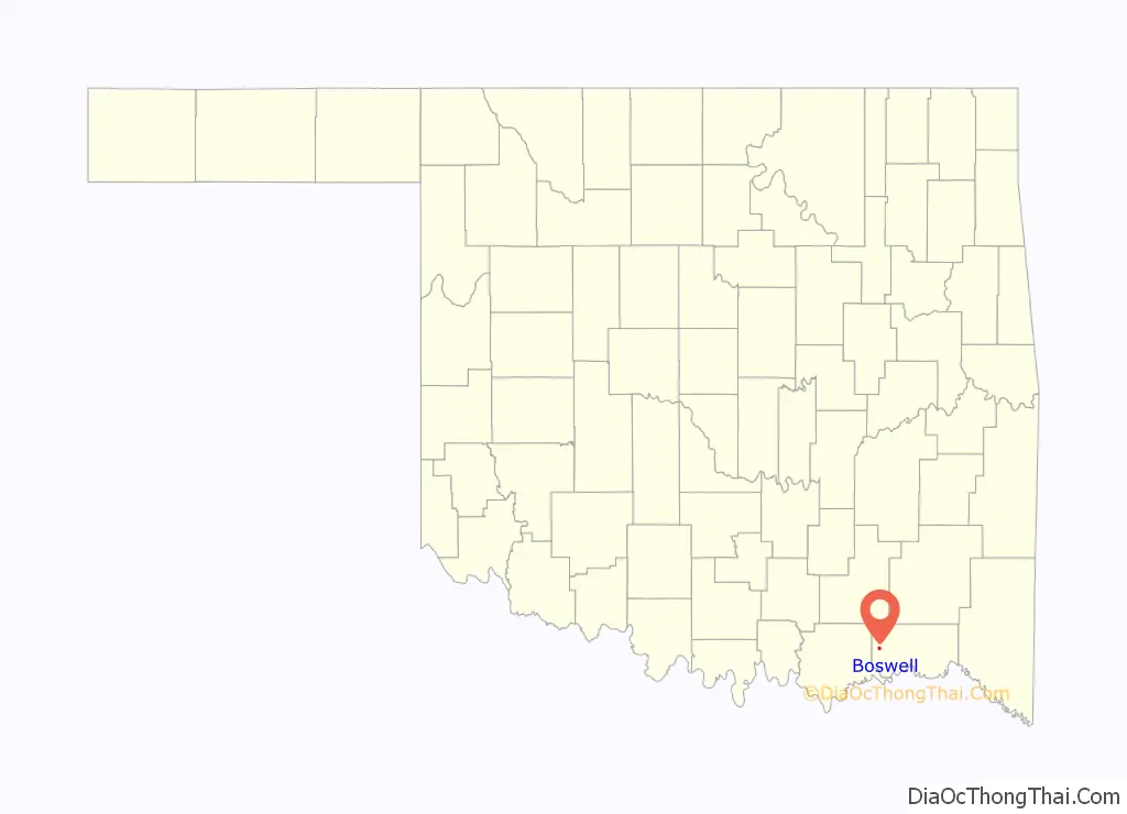
Boswell location map. Where is Boswell town?
History
The Boswell area was one of the Choctaw Nation’s first and most important settlements. A Presbyterian missionary station was founded at Mayhew, Indian Territory, three miles north of present-day Boswell in the 1840s. It soon became a government center as well as seat of civilization. Mayhew became the administrative and judicial capital of the Pushmataha District, one of three administrative super-regions comprising the Choctaw Nation.
Mayhew was located in Blue County, one of the counties comprising the Pushmataha District. In 1886 portions of Blue County, including Mayhew, were joined with parts of adjacent counties to form Jackson County. The new county’s seat of government was at Pigeon Roost, south of Boswell.
A United States Post Office was established at Mayhew, Indian Territory on February 5, 1845 and operated until September 30, 1902. It then moved two miles south to Boswell, which was then a new townsite along the new railroad, and changed its name to Boswell.
Boswell was named for S.C. Boswell, a local merchant.
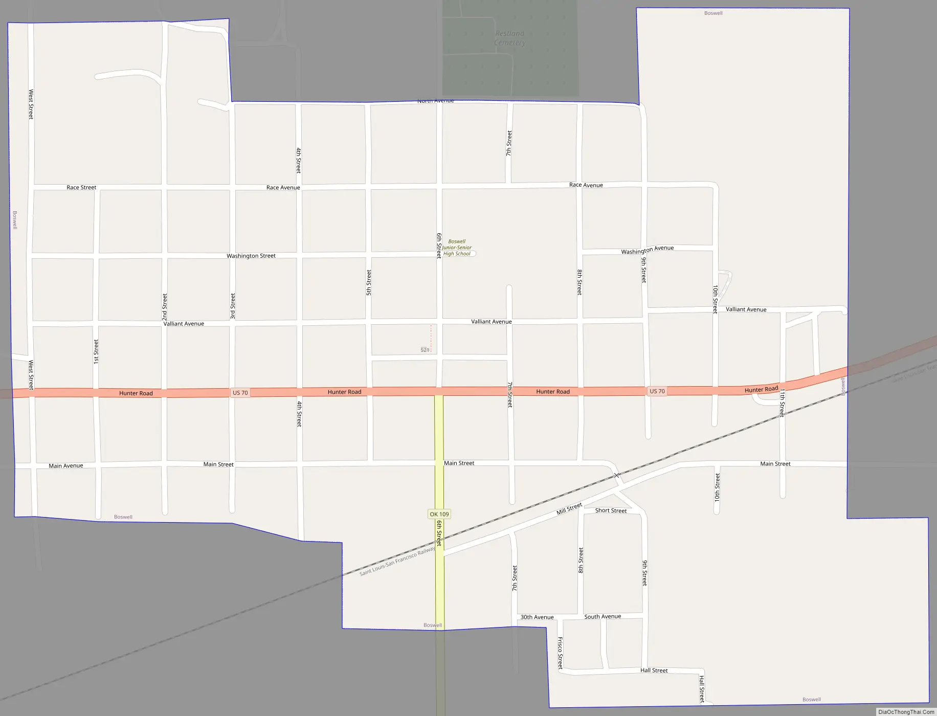
Boswell Road Map
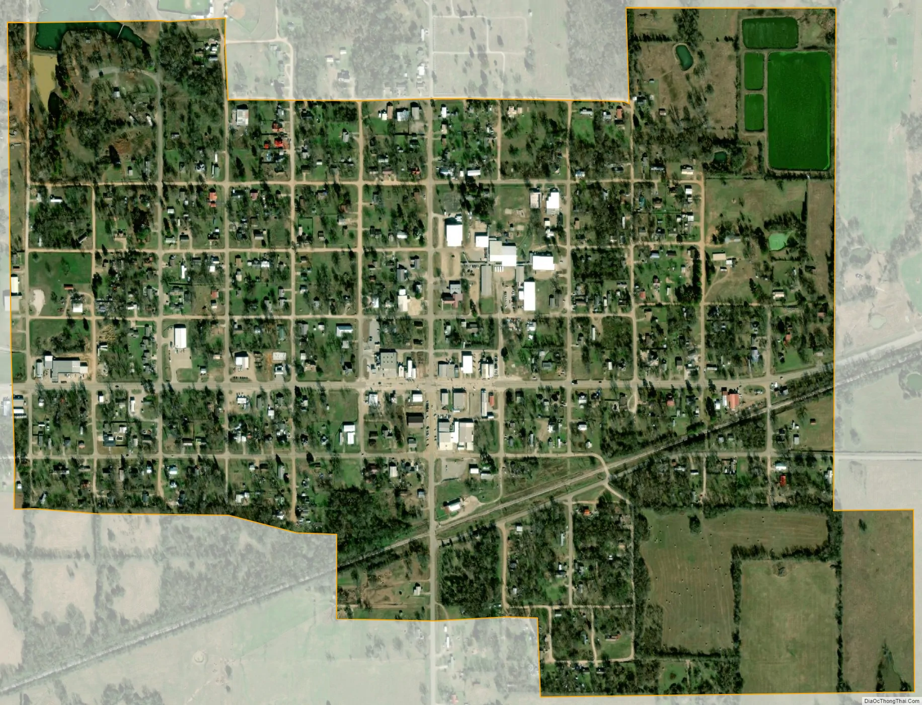
Boswell city Satellite Map
Geography
According to the United States Census Bureau, Boswell has a total area of 0.7 square miles (1.8 km), of which 0.7 square miles (1.8 km) is land and 1.43% is water.
The town contains Boswell State Park, an Oklahoma State Park largely occupied by a lake, which has been stocked with channel catfish.
Climate
See also
Map of Oklahoma State and its subdivision:- Adair
- Alfalfa
- Atoka
- Beaver
- Beckham
- Blaine
- Bryan
- Caddo
- Canadian
- Carter
- Cherokee
- Choctaw
- Cimarron
- Cleveland
- Coal
- Comanche
- Cotton
- Craig
- Creek
- Custer
- Delaware
- Dewey
- Ellis
- Garfield
- Garvin
- Grady
- Grant
- Greer
- Harmon
- Harper
- Haskell
- Hughes
- Jackson
- Jefferson
- Johnston
- Kay
- Kingfisher
- Kiowa
- Latimer
- Le Flore
- Lincoln
- Logan
- Love
- Major
- Marshall
- Mayes
- McClain
- McCurtain
- McIntosh
- Murray
- Muskogee
- Noble
- Nowata
- Okfuskee
- Oklahoma
- Okmulgee
- Osage
- Ottawa
- Pawnee
- Payne
- Pittsburg
- Pontotoc
- Pottawatomie
- Pushmataha
- Roger Mills
- Rogers
- Seminole
- Sequoyah
- Stephens
- Texas
- Tillman
- Tulsa
- Wagoner
- Washington
- Washita
- Woods
- Woodward
- Alabama
- Alaska
- Arizona
- Arkansas
- California
- Colorado
- Connecticut
- Delaware
- District of Columbia
- Florida
- Georgia
- Hawaii
- Idaho
- Illinois
- Indiana
- Iowa
- Kansas
- Kentucky
- Louisiana
- Maine
- Maryland
- Massachusetts
- Michigan
- Minnesota
- Mississippi
- Missouri
- Montana
- Nebraska
- Nevada
- New Hampshire
- New Jersey
- New Mexico
- New York
- North Carolina
- North Dakota
- Ohio
- Oklahoma
- Oregon
- Pennsylvania
- Rhode Island
- South Carolina
- South Dakota
- Tennessee
- Texas
- Utah
- Vermont
- Virginia
- Washington
- West Virginia
- Wisconsin
- Wyoming