Brooksville is a town in Pottawatomie County, Oklahoma, United States. It is one of the thirteen existing all-black towns in Oklahoma. The population was 63 at the 2010 census, a 30 percent decline from the figure of 90 in 2000.
| Name: | Brooksville town |
|---|---|
| LSAD Code: | 43 |
| LSAD Description: | town (suffix) |
| State: | Oklahoma |
| County: | Pottawatomie County |
| Elevation: | 948 ft (289 m) |
| Total Area: | 2.98 sq mi (7.71 km²) |
| Land Area: | 2.98 sq mi (7.71 km²) |
| Water Area: | 0.00 sq mi (0.00 km²) |
| Total Population: | 71 |
| Population Density: | 23.83/sq mi (9.20/km²) |
| FIPS code: | 4009400 |
| GNISfeature ID: | 1100237 |
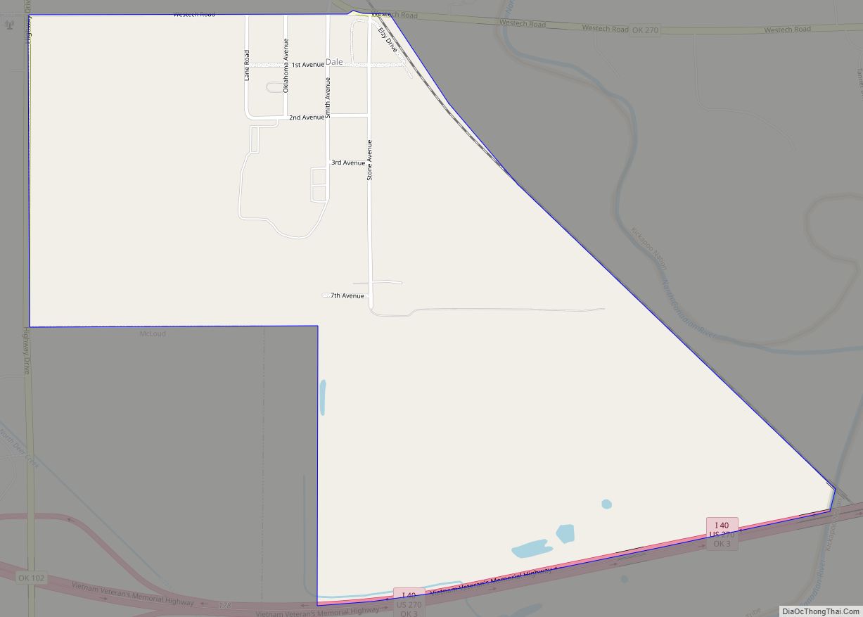
Online Interactive Map
Click on ![]() to view map in "full screen" mode.
to view map in "full screen" mode.
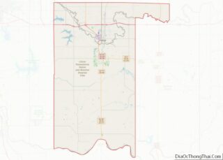
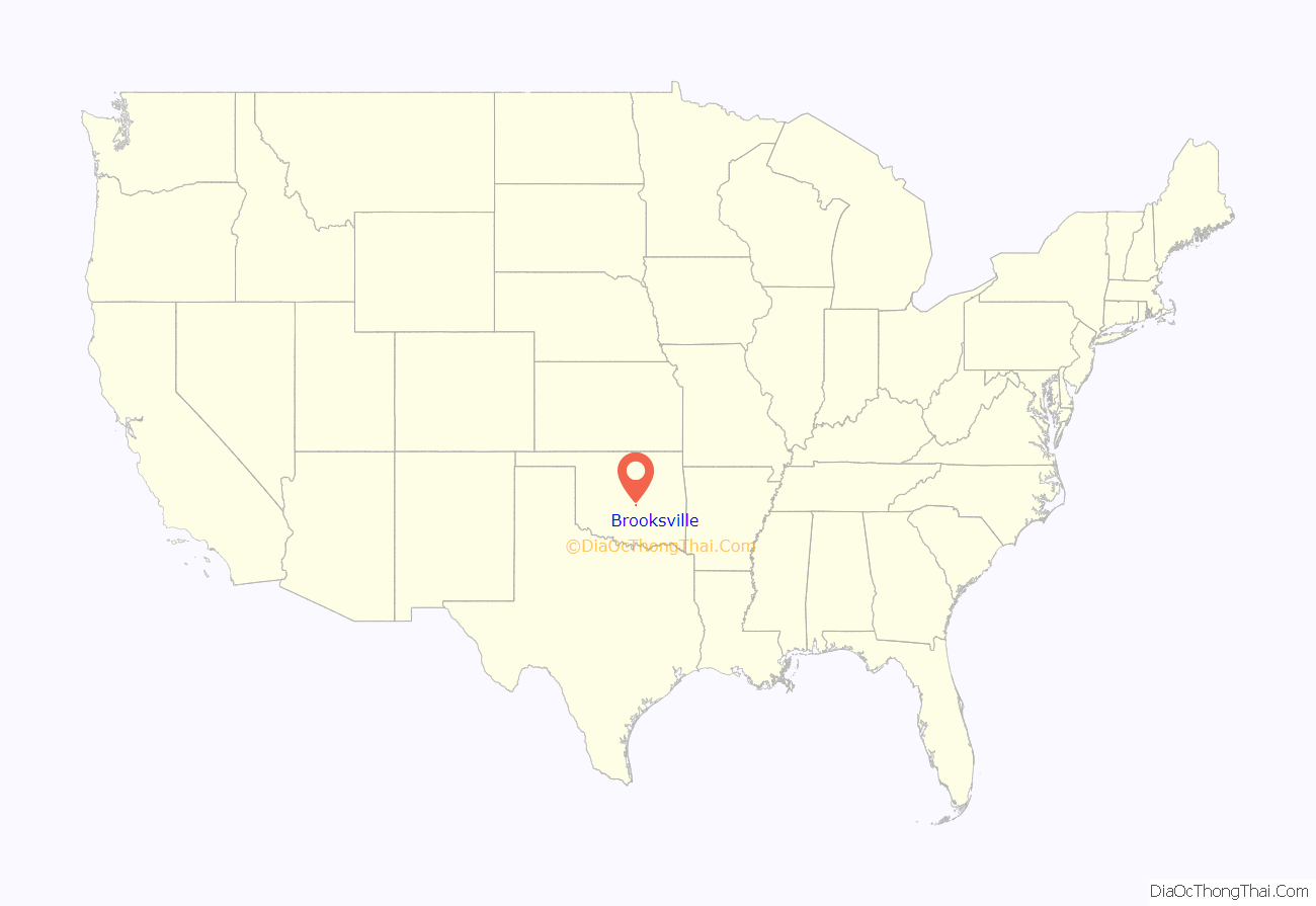
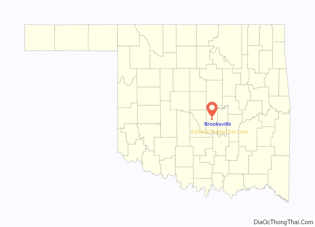
Brooksville location map. Where is Brooksville town?
History
One of more than fifty All-Black towns of Oklahoma, Brooksville is one of only thirteen still existing at the beginning of the twenty-first century. Located in Pottawatomie County four miles southwest of Tecumseh, Brooksville was established in 1903. Originally the town was named Sewell, after a white doctor who owned much of the surrounding land and attended the residents. In 1909 the name changed to Brooksville in honor of the first African American in the area, A. R. Brooks, a cotton buyer and farmer. Brooks served as postmaster here from March 18, 1909, until January 27, 1913, at which time his son, William M. Brooks, became postmaster. In 1906 Rev. Jedson White organized St. John’s Baptist Church. Soon afterward, the congregation built a church that still exists. White also promoted the town throughout the South, urging African Americans to settle in Brooksville. Brooksville had a Santa Fe Railroad station, three hotels, two doctors, and two mills.
In 1924, with the aid of the Rosenwald Fund, a new school was built. Banneker School, under management of W. T. McKenzie, was a rock building of four large rooms, a three-hundred-seat auditorium, a small library, and a well-equipped domestic science room. George W. McLaurin, the first African American graduate student at the University of Oklahoma, taught at the school. After a fire, the original building was replaced by a wooden one that served students until the school closed in 1968. The building then became a community center for the town and stands next to the new city hall. A declining cotton market and the Great Depression made life difficult in Brooksville, as in many Oklahoma communities. Most of the residents departed, but the town survived. At the beginning of the twenty-first century Brooksville was steadily increasing in population.
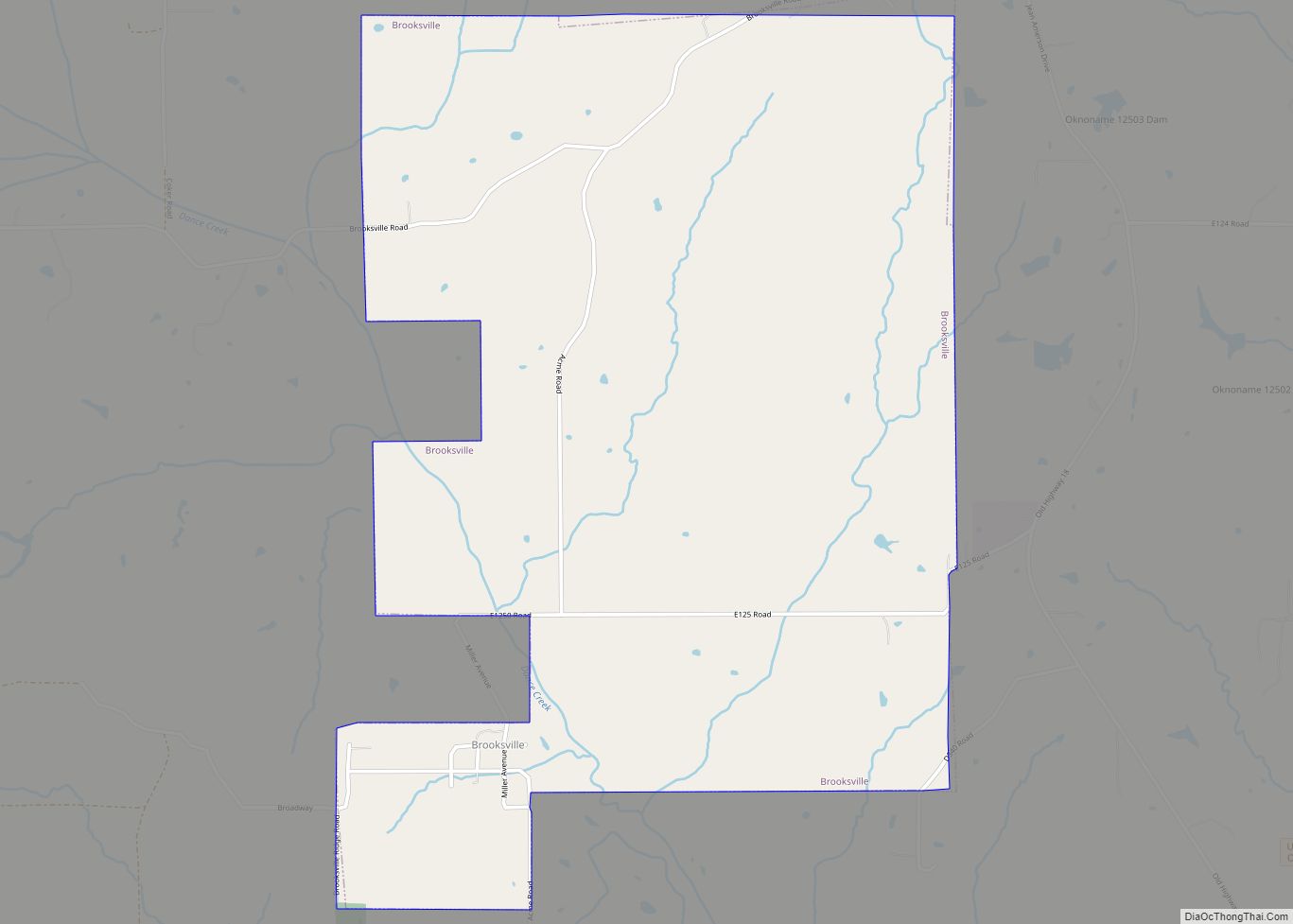
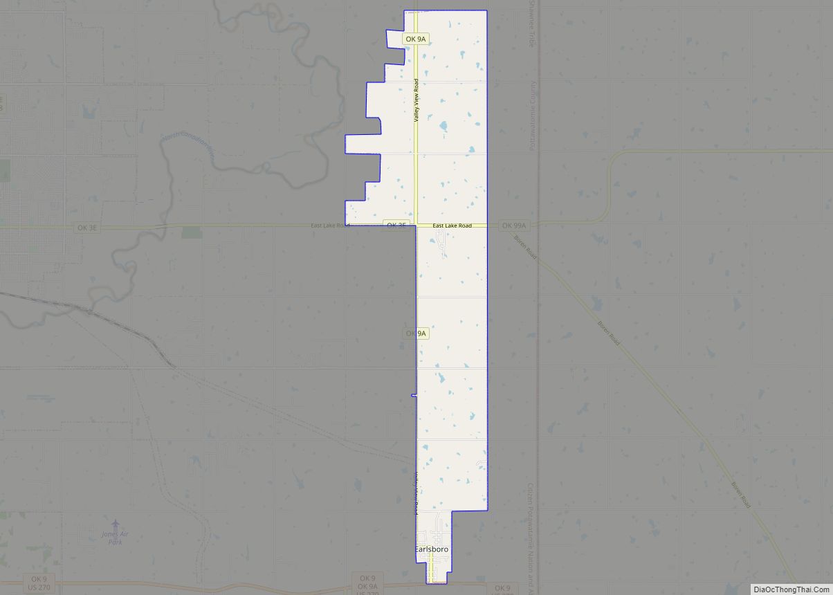
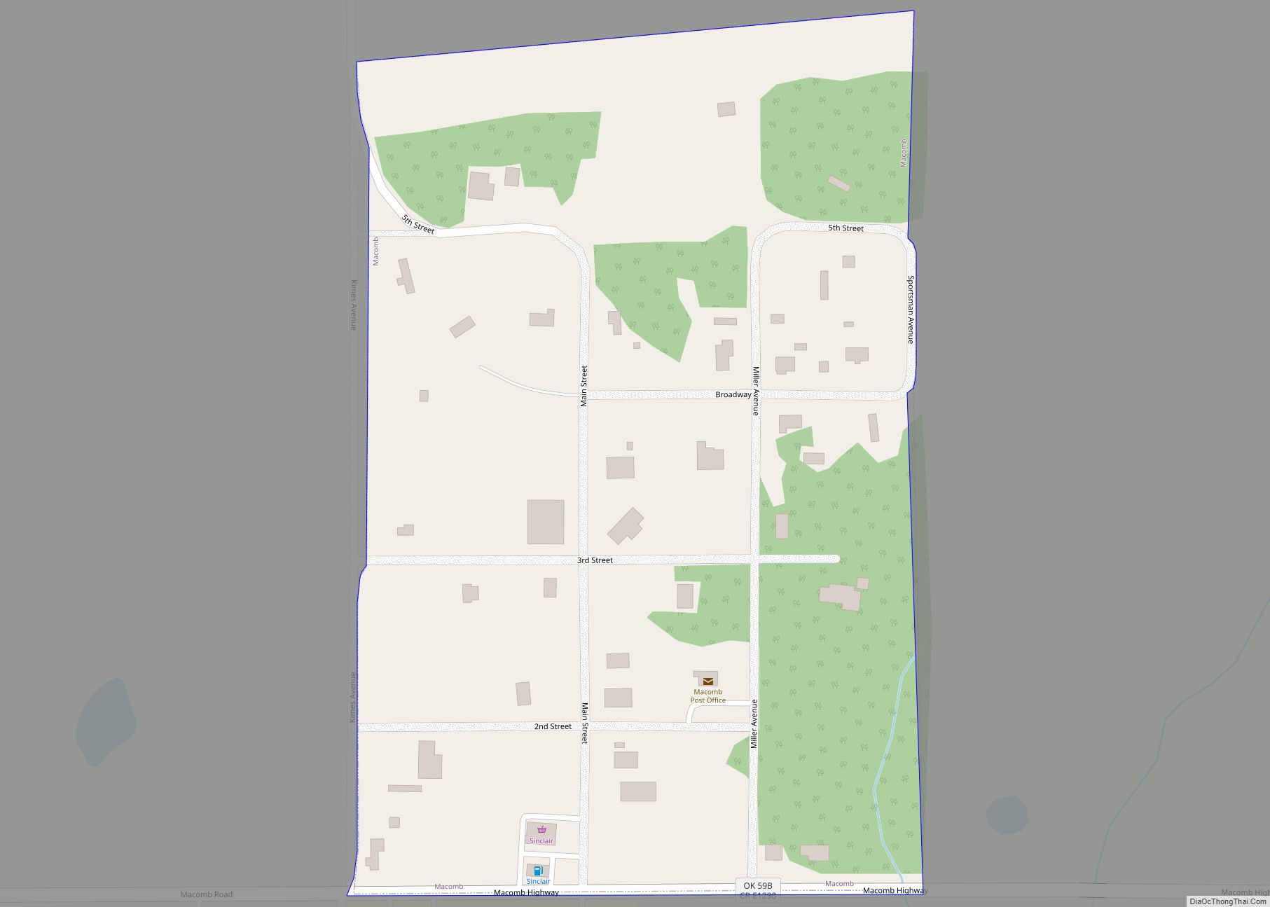
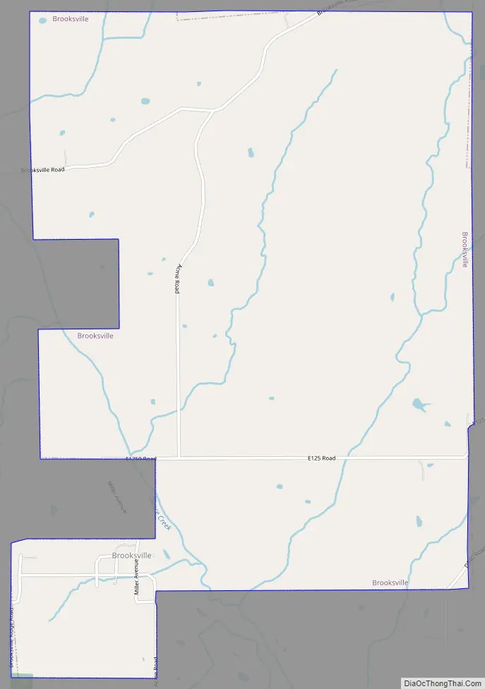
Brooksville Road Map
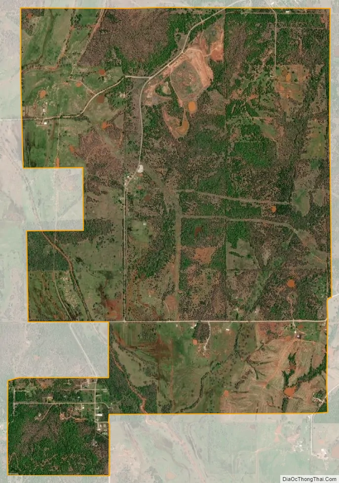
Brooksville city Satellite Map
Geography
Brooksville is located at 35°12′53″N 96°58′9″W / 35.21472°N 96.96917°W / 35.21472; -96.96917 (35.214609, -96.969304).
According to the United States Census Bureau, the town has a total area of 3.0 square miles (7.8 km), all land.
See also
Map of Oklahoma State and its subdivision:- Adair
- Alfalfa
- Atoka
- Beaver
- Beckham
- Blaine
- Bryan
- Caddo
- Canadian
- Carter
- Cherokee
- Choctaw
- Cimarron
- Cleveland
- Coal
- Comanche
- Cotton
- Craig
- Creek
- Custer
- Delaware
- Dewey
- Ellis
- Garfield
- Garvin
- Grady
- Grant
- Greer
- Harmon
- Harper
- Haskell
- Hughes
- Jackson
- Jefferson
- Johnston
- Kay
- Kingfisher
- Kiowa
- Latimer
- Le Flore
- Lincoln
- Logan
- Love
- Major
- Marshall
- Mayes
- McClain
- McCurtain
- McIntosh
- Murray
- Muskogee
- Noble
- Nowata
- Okfuskee
- Oklahoma
- Okmulgee
- Osage
- Ottawa
- Pawnee
- Payne
- Pittsburg
- Pontotoc
- Pottawatomie
- Pushmataha
- Roger Mills
- Rogers
- Seminole
- Sequoyah
- Stephens
- Texas
- Tillman
- Tulsa
- Wagoner
- Washington
- Washita
- Woods
- Woodward
- Alabama
- Alaska
- Arizona
- Arkansas
- California
- Colorado
- Connecticut
- Delaware
- District of Columbia
- Florida
- Georgia
- Hawaii
- Idaho
- Illinois
- Indiana
- Iowa
- Kansas
- Kentucky
- Louisiana
- Maine
- Maryland
- Massachusetts
- Michigan
- Minnesota
- Mississippi
- Missouri
- Montana
- Nebraska
- Nevada
- New Hampshire
- New Jersey
- New Mexico
- New York
- North Carolina
- North Dakota
- Ohio
- Oklahoma
- Oregon
- Pennsylvania
- Rhode Island
- South Carolina
- South Dakota
- Tennessee
- Texas
- Utah
- Vermont
- Virginia
- Washington
- West Virginia
- Wisconsin
- Wyoming