Macomb is a town in Pottawatomie County, Oklahoma, United States. The population was 32 at the 2010 census, which represented a decline of 47.5 percent from the figure of 61 in 2000.
| Name: | Macomb town |
|---|---|
| LSAD Code: | 43 |
| LSAD Description: | town (suffix) |
| State: | Oklahoma |
| County: | Pottawatomie County |
| Elevation: | 1,001 ft (305 m) |
| Total Area: | 0.09 sq mi (0.23 km²) |
| Land Area: | 0.09 sq mi (0.23 km²) |
| Water Area: | 0.00 sq mi (0.00 km²) |
| Total Population: | 22 |
| Population Density: | 247.19/sq mi (95.09/km²) |
| ZIP code: | 74852 |
| Area code: | 405/572 |
| FIPS code: | 4045500 |
| GNISfeature ID: | 1095077 |
Online Interactive Map
Click on ![]() to view map in "full screen" mode.
to view map in "full screen" mode.
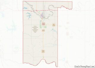
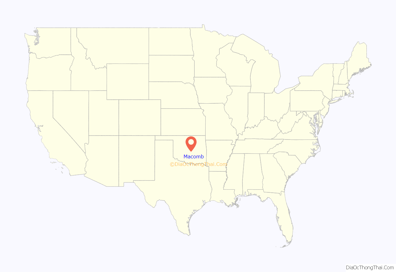
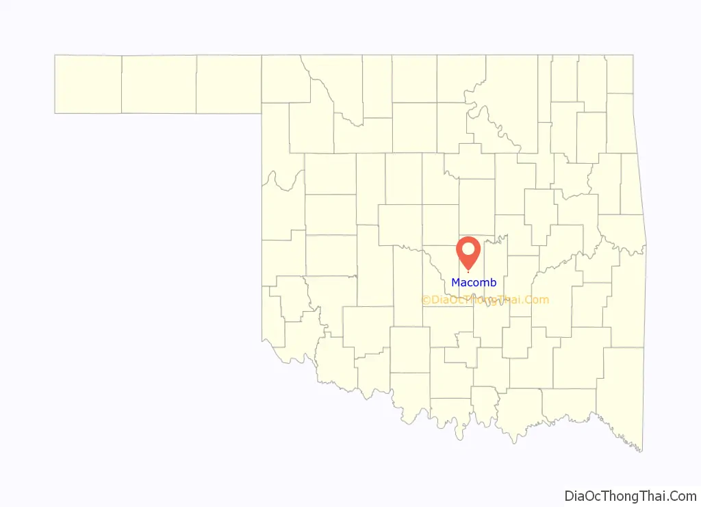
Macomb location map. Where is Macomb town?
History
The present town of Macomb began as a community named Burnett on the land allotment owned by on State Highway 59B when the Atchison, Topeka and Santa Fe Railway Burnett, entrepreneurs from Burnett, moved to the current site. A post office, originally designated as McComb, opened at the new site on May 29, 1903. The post office and the town had been named for a Santa Fe engineer named Macomb. The names of the town and post office were changed to Macomb on July 16, 1915, to correct the spelling.
By the end of 1904, the town newspaper, McComb Herald, claimed the population was 350 and coined the nickname, “Queen City of South Pottawatomie County.” The 1910 census reported a population of only 166. The 1920 census showed 281 residents. Hard times came when a prolonged drought caused the cotton crops to fail. In 1930, there were only 197 inhabitants. People moved away from the area; the 1950 census reported 123 residents. The number fell to 61 by the 2000 census.
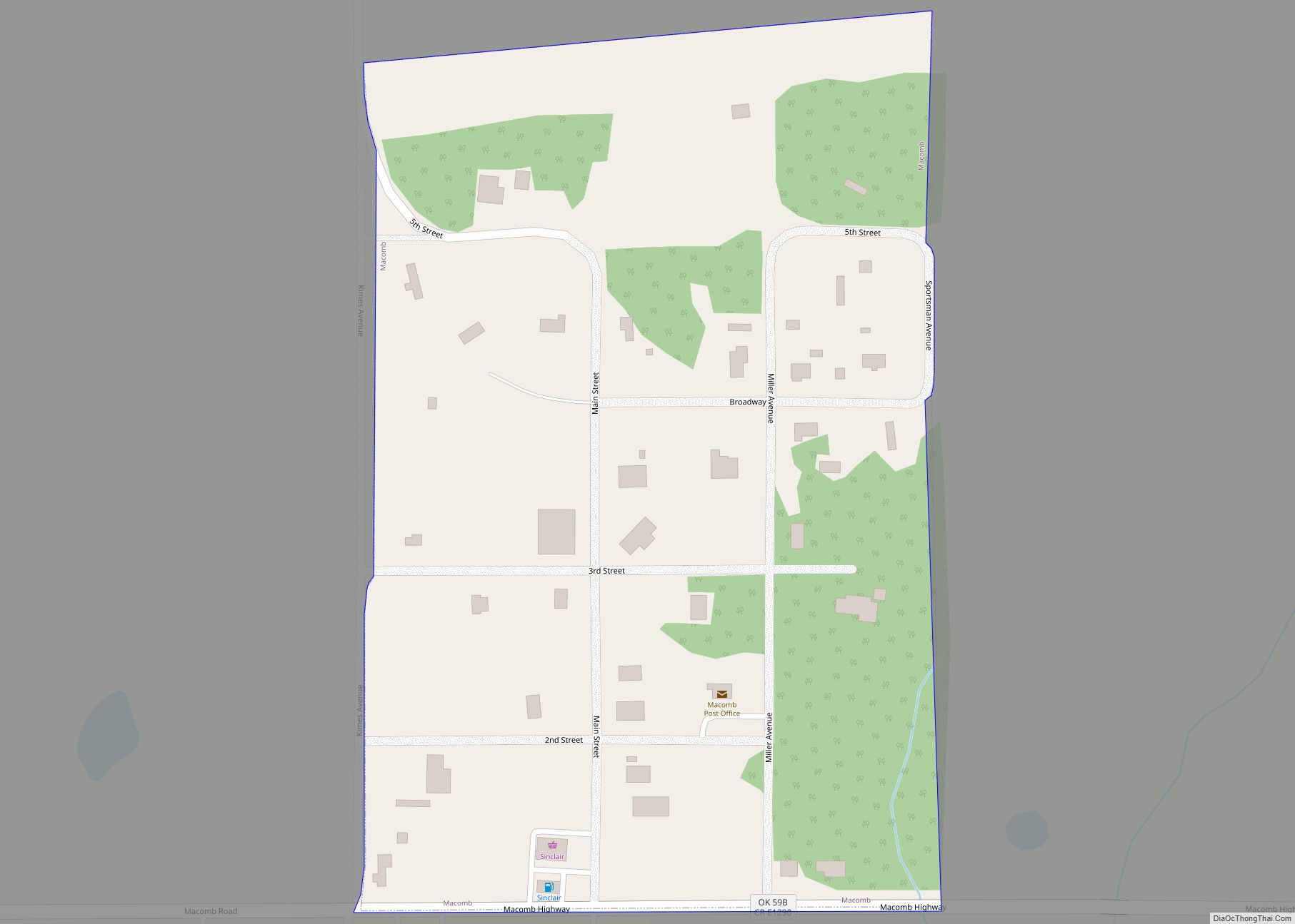
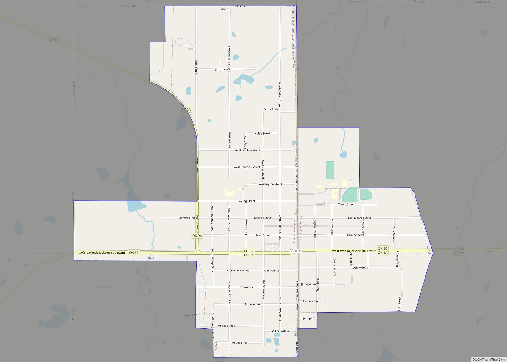
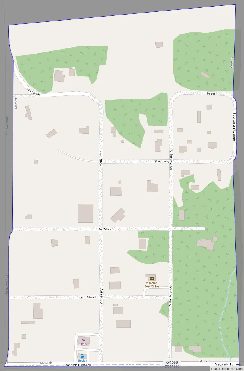
Macomb Road Map
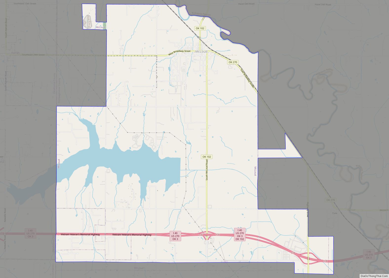
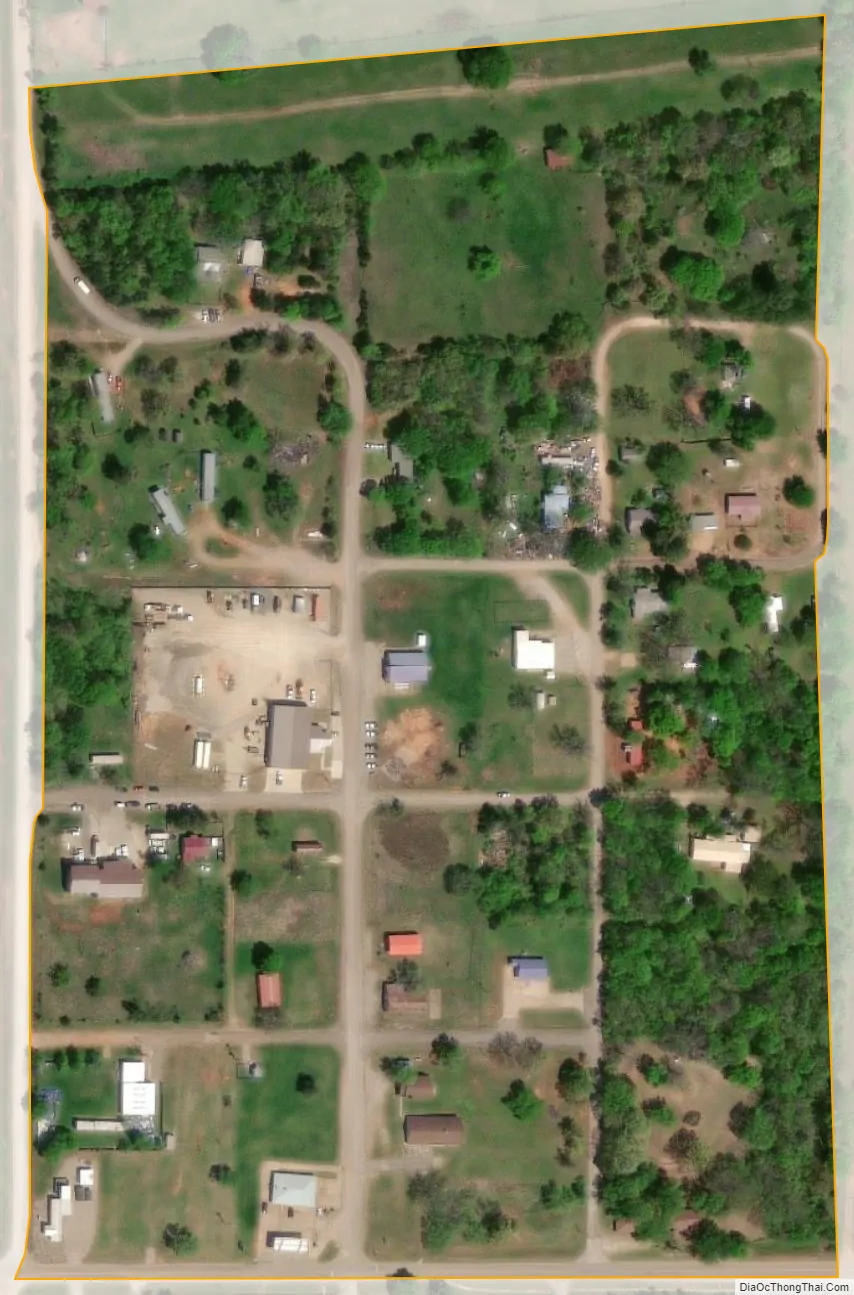
Macomb city Satellite Map
Geography
Macomb is located at 35°8′52″N 97°0′30″W / 35.14778°N 97.00833°W / 35.14778; -97.00833 (35.147841, -97.008391). It is 10 miles (16 km) southwest of Tecumseh on State Highway 59B.
According to the United States Census Bureau, the town has a total area of 0.1 square miles (0.26 km), all land.
See also
Map of Oklahoma State and its subdivision:- Adair
- Alfalfa
- Atoka
- Beaver
- Beckham
- Blaine
- Bryan
- Caddo
- Canadian
- Carter
- Cherokee
- Choctaw
- Cimarron
- Cleveland
- Coal
- Comanche
- Cotton
- Craig
- Creek
- Custer
- Delaware
- Dewey
- Ellis
- Garfield
- Garvin
- Grady
- Grant
- Greer
- Harmon
- Harper
- Haskell
- Hughes
- Jackson
- Jefferson
- Johnston
- Kay
- Kingfisher
- Kiowa
- Latimer
- Le Flore
- Lincoln
- Logan
- Love
- Major
- Marshall
- Mayes
- McClain
- McCurtain
- McIntosh
- Murray
- Muskogee
- Noble
- Nowata
- Okfuskee
- Oklahoma
- Okmulgee
- Osage
- Ottawa
- Pawnee
- Payne
- Pittsburg
- Pontotoc
- Pottawatomie
- Pushmataha
- Roger Mills
- Rogers
- Seminole
- Sequoyah
- Stephens
- Texas
- Tillman
- Tulsa
- Wagoner
- Washington
- Washita
- Woods
- Woodward
- Alabama
- Alaska
- Arizona
- Arkansas
- California
- Colorado
- Connecticut
- Delaware
- District of Columbia
- Florida
- Georgia
- Hawaii
- Idaho
- Illinois
- Indiana
- Iowa
- Kansas
- Kentucky
- Louisiana
- Maine
- Maryland
- Massachusetts
- Michigan
- Minnesota
- Mississippi
- Missouri
- Montana
- Nebraska
- Nevada
- New Hampshire
- New Jersey
- New Mexico
- New York
- North Carolina
- North Dakota
- Ohio
- Oklahoma
- Oregon
- Pennsylvania
- Rhode Island
- South Carolina
- South Dakota
- Tennessee
- Texas
- Utah
- Vermont
- Virginia
- Washington
- West Virginia
- Wisconsin
- Wyoming