Burns Flat is a town in Washita County, Oklahoma, United States. The population was 2,057 at the 2010 census.
| Name: | Burns Flat town |
|---|---|
| LSAD Code: | 43 |
| LSAD Description: | town (suffix) |
| State: | Oklahoma |
| County: | Washita County |
| Incorporated: | 1955 |
| Elevation: | 1,896 ft (578 m) |
| Total Area: | 0.87 sq mi (2.24 km²) |
| Land Area: | 0.87 sq mi (2.24 km²) |
| Water Area: | 0.00 sq mi (0.00 km²) |
| Total Population: | 1,948 |
| Population Density: | 2,249.42/sq mi (868.81/km²) |
| ZIP code: | 73624 |
| Area code: | 580 |
| FIPS code: | 4010250 |
| GNISfeature ID: | 1090724 |
| Website: | BurnsFlatOK.com |
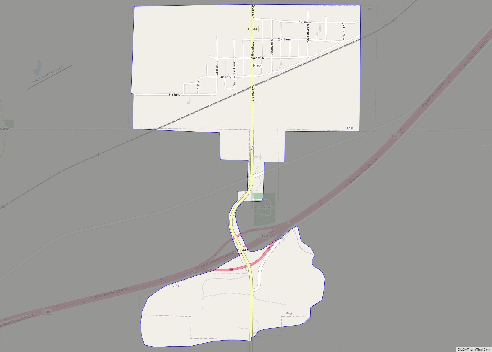
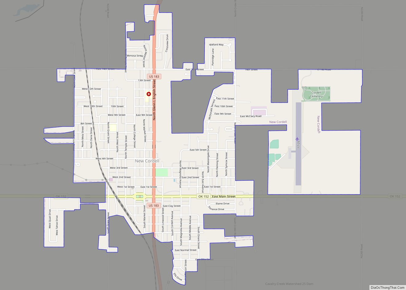
Online Interactive Map
Click on ![]() to view map in "full screen" mode.
to view map in "full screen" mode.
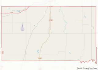
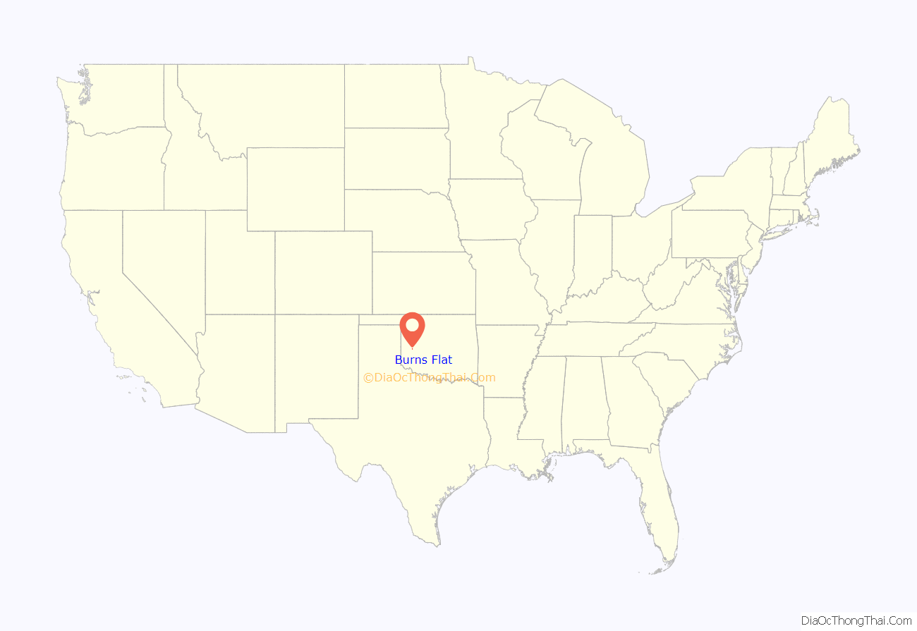
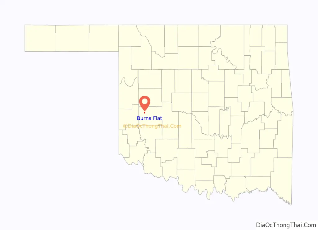
Burns Flat location map. Where is Burns Flat town?
History
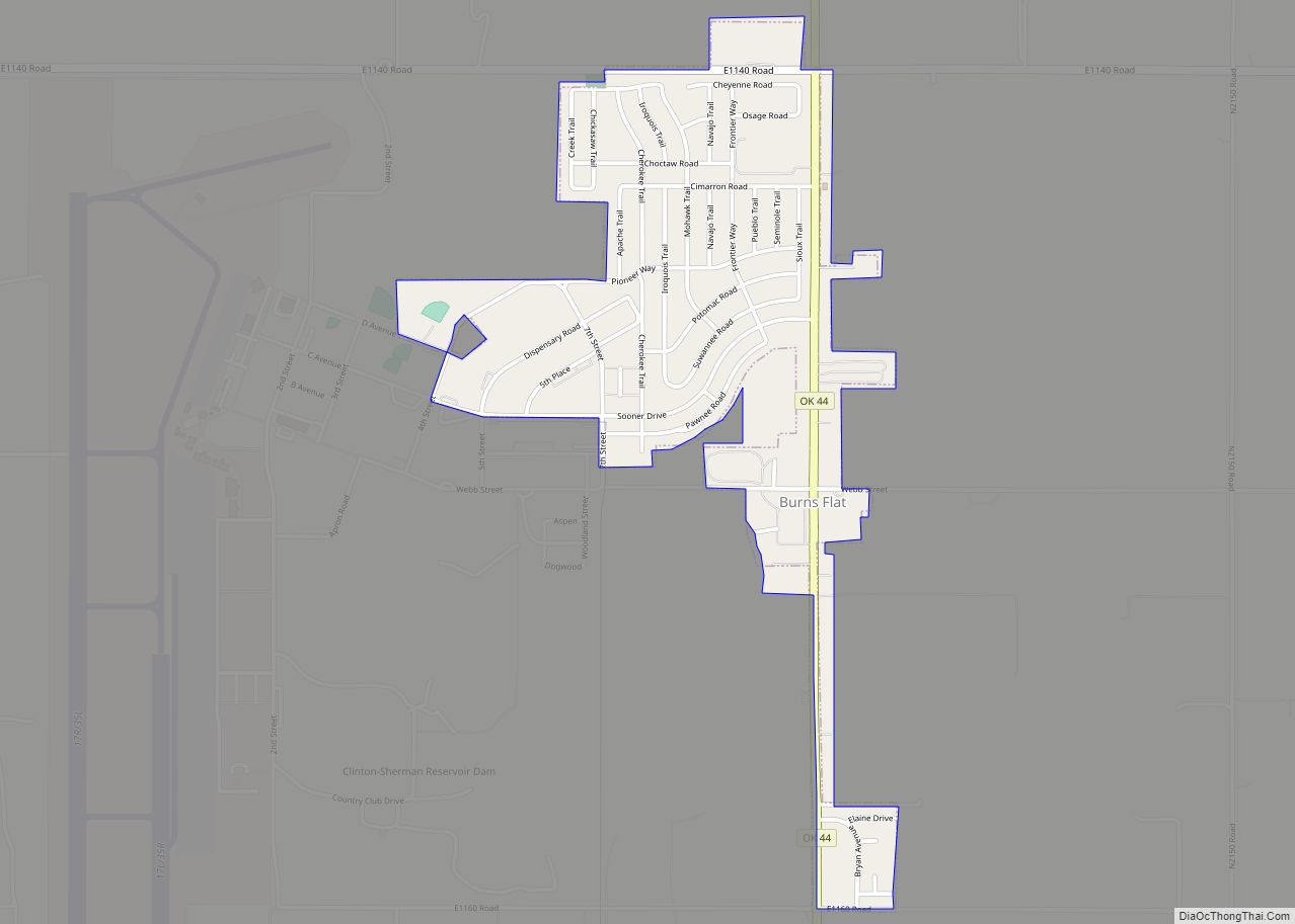
Airport
Immediately west of Burns Flat is Clinton-Sherman Industrial Airpark which is a licensed spaceport. The facility hosts the third longest civilian runway in North America, stretching approximately 2.5 miles in length.
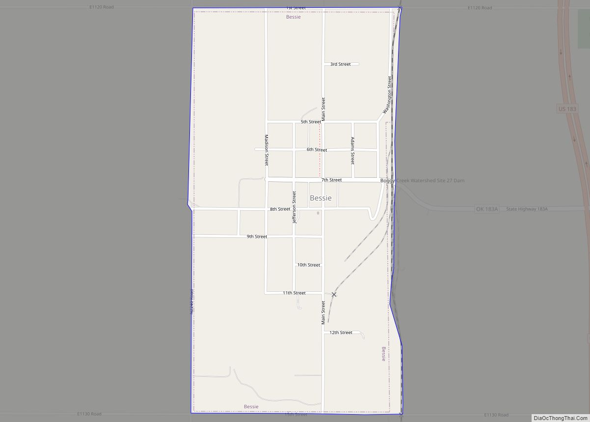
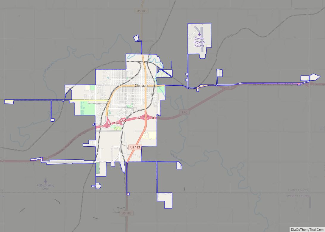
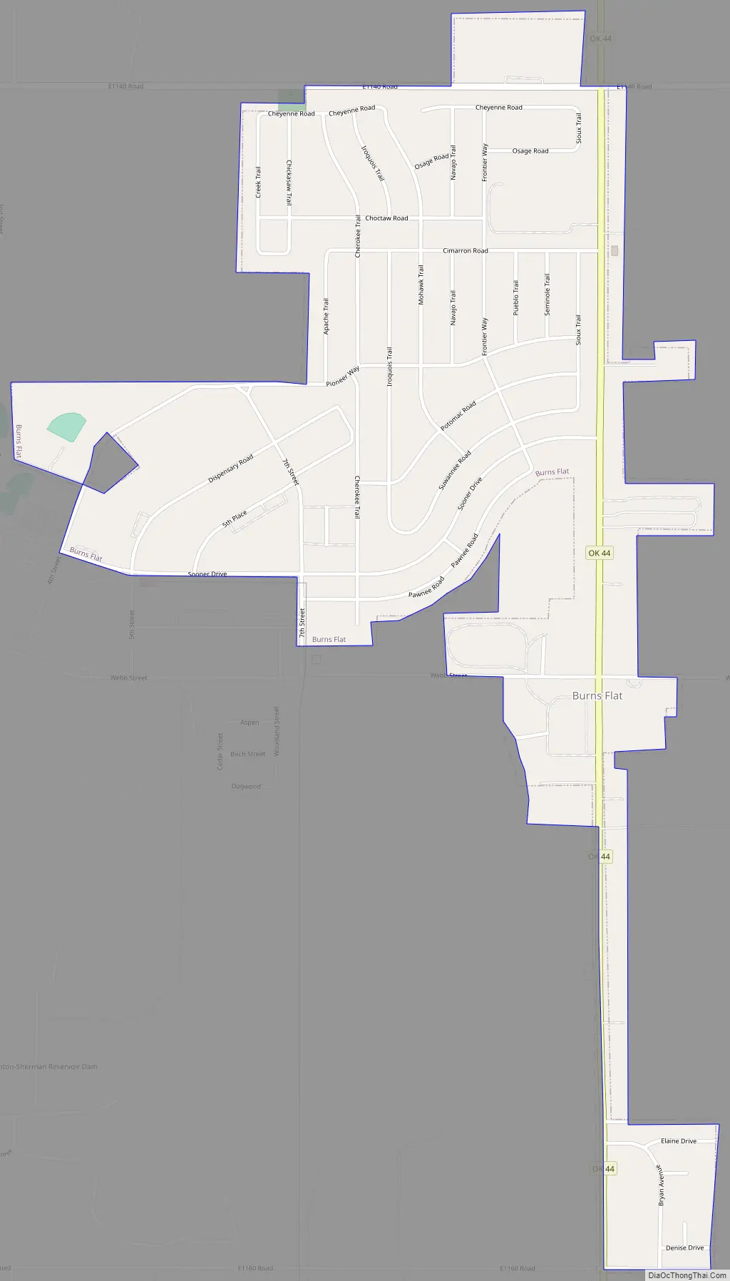
Burns Flat Road Map
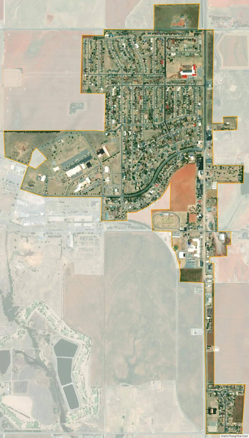
Burns Flat city Satellite Map
Geography
Burns Flat is located at 35°21′22″N 99°10′34″W / 35.35611°N 99.17611°W / 35.35611; -99.17611 (35.356042, -99.176008). According to the United States Census Bureau, the town has a total area of 0.9 square miles (2.3 km), all land.
See also
Map of Oklahoma State and its subdivision:- Adair
- Alfalfa
- Atoka
- Beaver
- Beckham
- Blaine
- Bryan
- Caddo
- Canadian
- Carter
- Cherokee
- Choctaw
- Cimarron
- Cleveland
- Coal
- Comanche
- Cotton
- Craig
- Creek
- Custer
- Delaware
- Dewey
- Ellis
- Garfield
- Garvin
- Grady
- Grant
- Greer
- Harmon
- Harper
- Haskell
- Hughes
- Jackson
- Jefferson
- Johnston
- Kay
- Kingfisher
- Kiowa
- Latimer
- Le Flore
- Lincoln
- Logan
- Love
- Major
- Marshall
- Mayes
- McClain
- McCurtain
- McIntosh
- Murray
- Muskogee
- Noble
- Nowata
- Okfuskee
- Oklahoma
- Okmulgee
- Osage
- Ottawa
- Pawnee
- Payne
- Pittsburg
- Pontotoc
- Pottawatomie
- Pushmataha
- Roger Mills
- Rogers
- Seminole
- Sequoyah
- Stephens
- Texas
- Tillman
- Tulsa
- Wagoner
- Washington
- Washita
- Woods
- Woodward
- Alabama
- Alaska
- Arizona
- Arkansas
- California
- Colorado
- Connecticut
- Delaware
- District of Columbia
- Florida
- Georgia
- Hawaii
- Idaho
- Illinois
- Indiana
- Iowa
- Kansas
- Kentucky
- Louisiana
- Maine
- Maryland
- Massachusetts
- Michigan
- Minnesota
- Mississippi
- Missouri
- Montana
- Nebraska
- Nevada
- New Hampshire
- New Jersey
- New Mexico
- New York
- North Carolina
- North Dakota
- Ohio
- Oklahoma
- Oregon
- Pennsylvania
- Rhode Island
- South Carolina
- South Dakota
- Tennessee
- Texas
- Utah
- Vermont
- Virginia
- Washington
- West Virginia
- Wisconsin
- Wyoming