New Cordell is a city in, and county seat of, Washita County, Oklahoma, United States. It lies along U.S. Route 183. The population was 2,915 at the 2010 census. The community was previously established a few miles from the current site, but was moved about 1900. It was named for a U.S. Postal Service employee in Washington D. C., Wayne W. Cordell. The official name is New Cordell, though it is now commonly called Cordell.
| Name: | New Cordell city |
|---|---|
| LSAD Code: | 25 |
| LSAD Description: | city (suffix) |
| State: | Oklahoma |
| County: | Washita County |
| Total Area: | 2.25 sq mi (5.82 km²) |
| Land Area: | 2.25 sq mi (5.82 km²) |
| Water Area: | 0.00 sq mi (0.00 km²) |
| Total Population: | 2,775 |
| Population Density: | 1,233.88/sq mi (476.47/km²) |
| ZIP code: | 73632 |
| Area code: | 580 |
| FIPS code: | 4051250 |
Online Interactive Map
Click on ![]() to view map in "full screen" mode.
to view map in "full screen" mode.
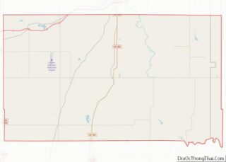
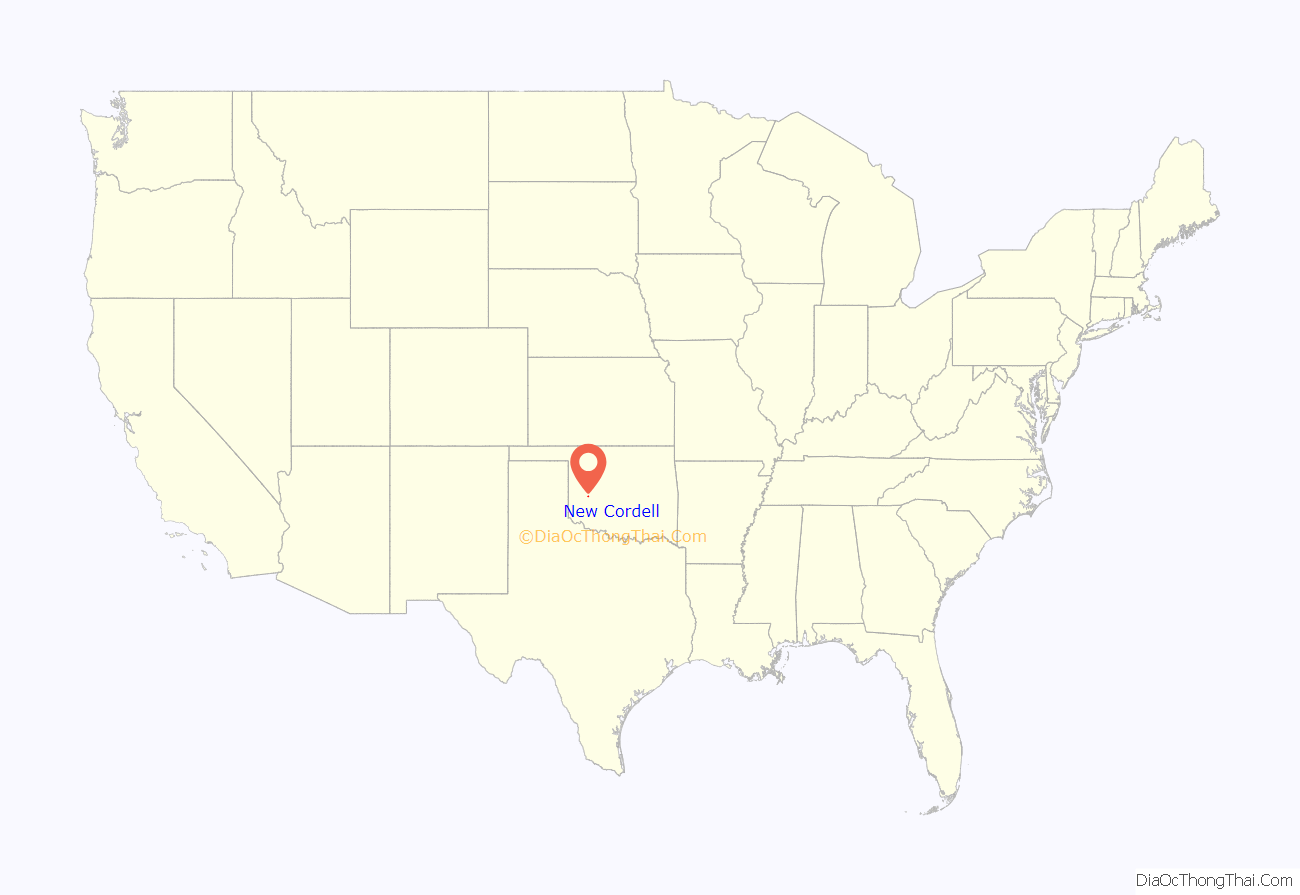
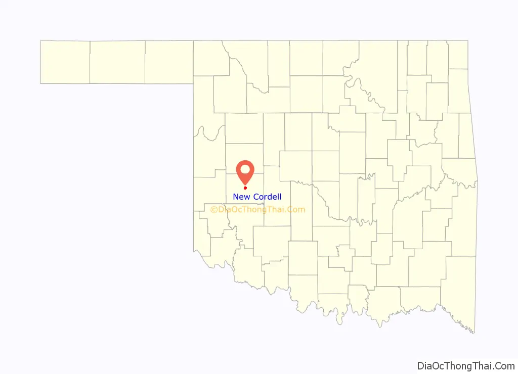
New Cordell location map. Where is New Cordell city?
History
Cordell began when H. D. Young opened a general store about 1.5 miles east of the present town, shortly after the Cheyenne and Arapaho lands were opened for non-Indian settlement in 1892. A post office named Cordell was established in the same year in Young’s store. In 1897, A. J. Johnson and J. C. Harrell convinced Young to move his store to the present site, where water was more plentiful and of better quality than in Old Cordell. The new location became known as New Cordell. In 1900, Washita County residents voted to move the county seat from the town of Cloud Chief to New Cordell. The move was challenged in the court as illegal, because only the territorial legislature could authorize such an action. In 1904, the Oklahoma Territorial Supreme Court ruled that the county seat must return to Cloud Chief. A Cordell attorney, Sam Massengale, traveled to Washington, where he lobbied for a bill to make Cordell the official county seat. The bill passed the U. S. Congress in 1906.
The county courthouse was destroyed by a fire in 1909. It was rebuilt by 1911 by the same architect who designed the Oklahoma State Capitol. Governor George Nigh called it, “…godfather of all courthouses in the state of Oklahoma.” The Washita County Courthouse is listed on the National Register of Historic Places. In 1911, the Carnegie Foundation approved a grant to construct what became known as the Cordell Carnegie Community Library.
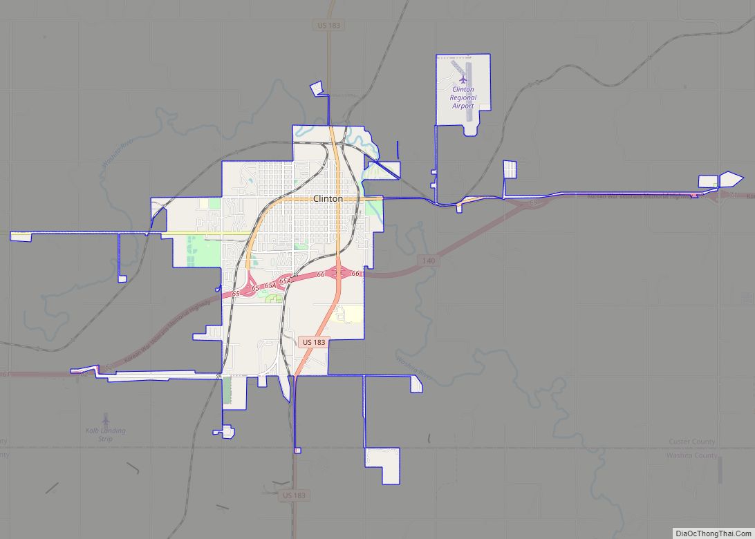
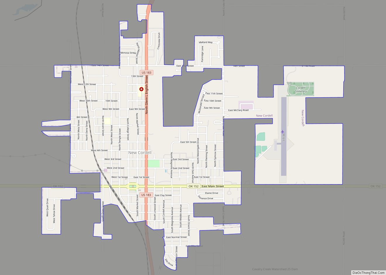
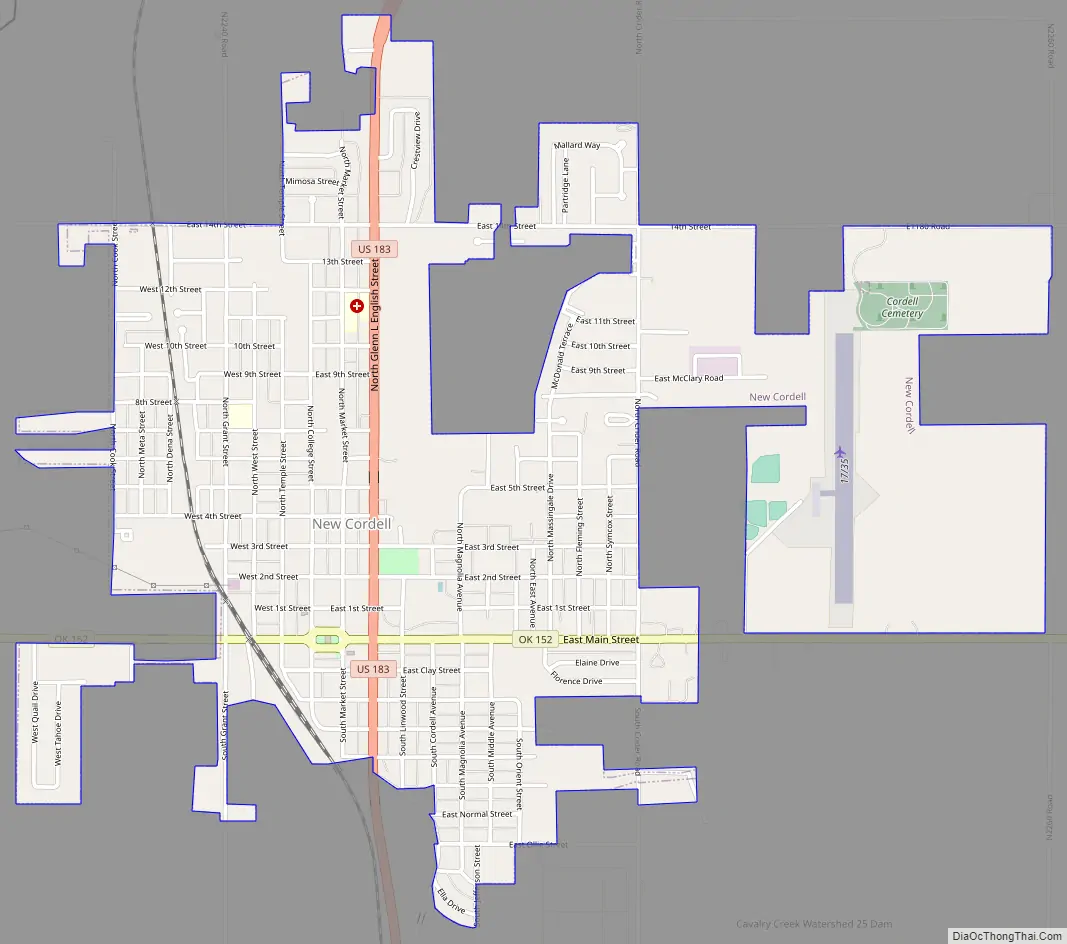
New Cordell Road Map
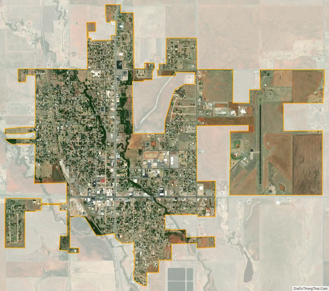
New Cordell city Satellite Map
Geography
According to the United States Census Bureau, the city has a total area of 2.5 square miles (6.5 km), all land. The city is located approximately in the center of the county.
See also
Map of Oklahoma State and its subdivision:- Adair
- Alfalfa
- Atoka
- Beaver
- Beckham
- Blaine
- Bryan
- Caddo
- Canadian
- Carter
- Cherokee
- Choctaw
- Cimarron
- Cleveland
- Coal
- Comanche
- Cotton
- Craig
- Creek
- Custer
- Delaware
- Dewey
- Ellis
- Garfield
- Garvin
- Grady
- Grant
- Greer
- Harmon
- Harper
- Haskell
- Hughes
- Jackson
- Jefferson
- Johnston
- Kay
- Kingfisher
- Kiowa
- Latimer
- Le Flore
- Lincoln
- Logan
- Love
- Major
- Marshall
- Mayes
- McClain
- McCurtain
- McIntosh
- Murray
- Muskogee
- Noble
- Nowata
- Okfuskee
- Oklahoma
- Okmulgee
- Osage
- Ottawa
- Pawnee
- Payne
- Pittsburg
- Pontotoc
- Pottawatomie
- Pushmataha
- Roger Mills
- Rogers
- Seminole
- Sequoyah
- Stephens
- Texas
- Tillman
- Tulsa
- Wagoner
- Washington
- Washita
- Woods
- Woodward
- Alabama
- Alaska
- Arizona
- Arkansas
- California
- Colorado
- Connecticut
- Delaware
- District of Columbia
- Florida
- Georgia
- Hawaii
- Idaho
- Illinois
- Indiana
- Iowa
- Kansas
- Kentucky
- Louisiana
- Maine
- Maryland
- Massachusetts
- Michigan
- Minnesota
- Mississippi
- Missouri
- Montana
- Nebraska
- Nevada
- New Hampshire
- New Jersey
- New Mexico
- New York
- North Carolina
- North Dakota
- Ohio
- Oklahoma
- Oregon
- Pennsylvania
- Rhode Island
- South Carolina
- South Dakota
- Tennessee
- Texas
- Utah
- Vermont
- Virginia
- Washington
- West Virginia
- Wisconsin
- Wyoming