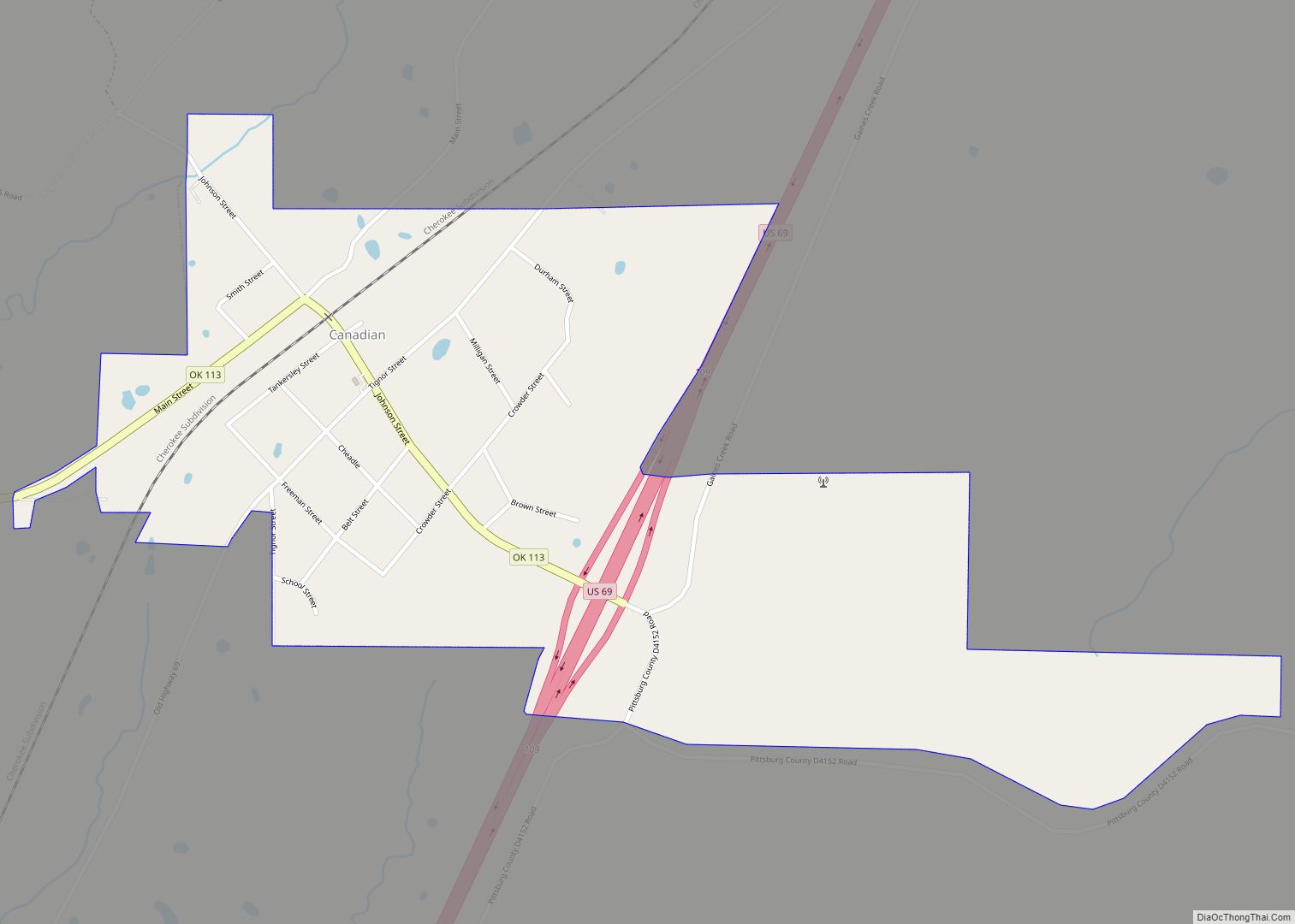
Canadian is a town in Pittsburg County, Oklahoma, United States. The population was 239 at the 2000 census.
| Name: | Canadian town |
|---|---|
| LSAD Code: | 43 |
| LSAD Description: | town (suffix) |
| State: | Oklahoma |
| County: | Pittsburg County |
| Elevation: | 665 ft (203 m) |
| Total Area: | 0.76 sq mi (1.96 km²) |
| Land Area: | 0.76 sq mi (1.96 km²) |
| Water Area: | 0.00 sq mi (0.00 km²) |
| Total Population: | 143 |
| Population Density: | 189.15/sq mi (73.04/km²) |
| ZIP code: | 74425 |
| Area code: | 539/918 |
| FIPS code: | 4011450 |
| GNISfeature ID: | 1090889 |
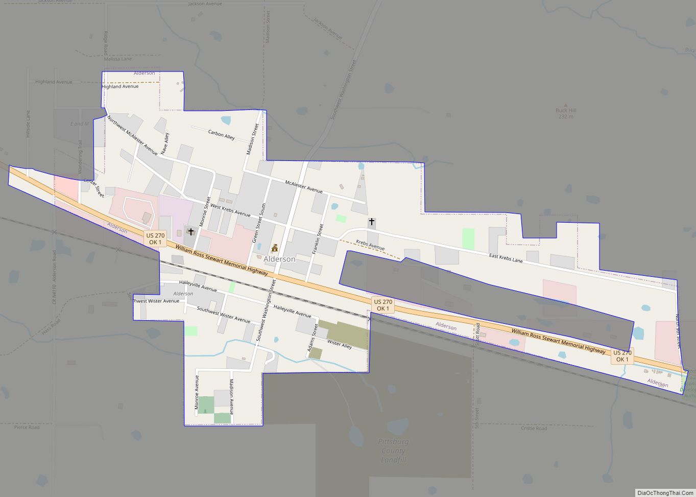
Online Interactive Map
Click on ![]() to view map in "full screen" mode.
to view map in "full screen" mode.
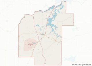
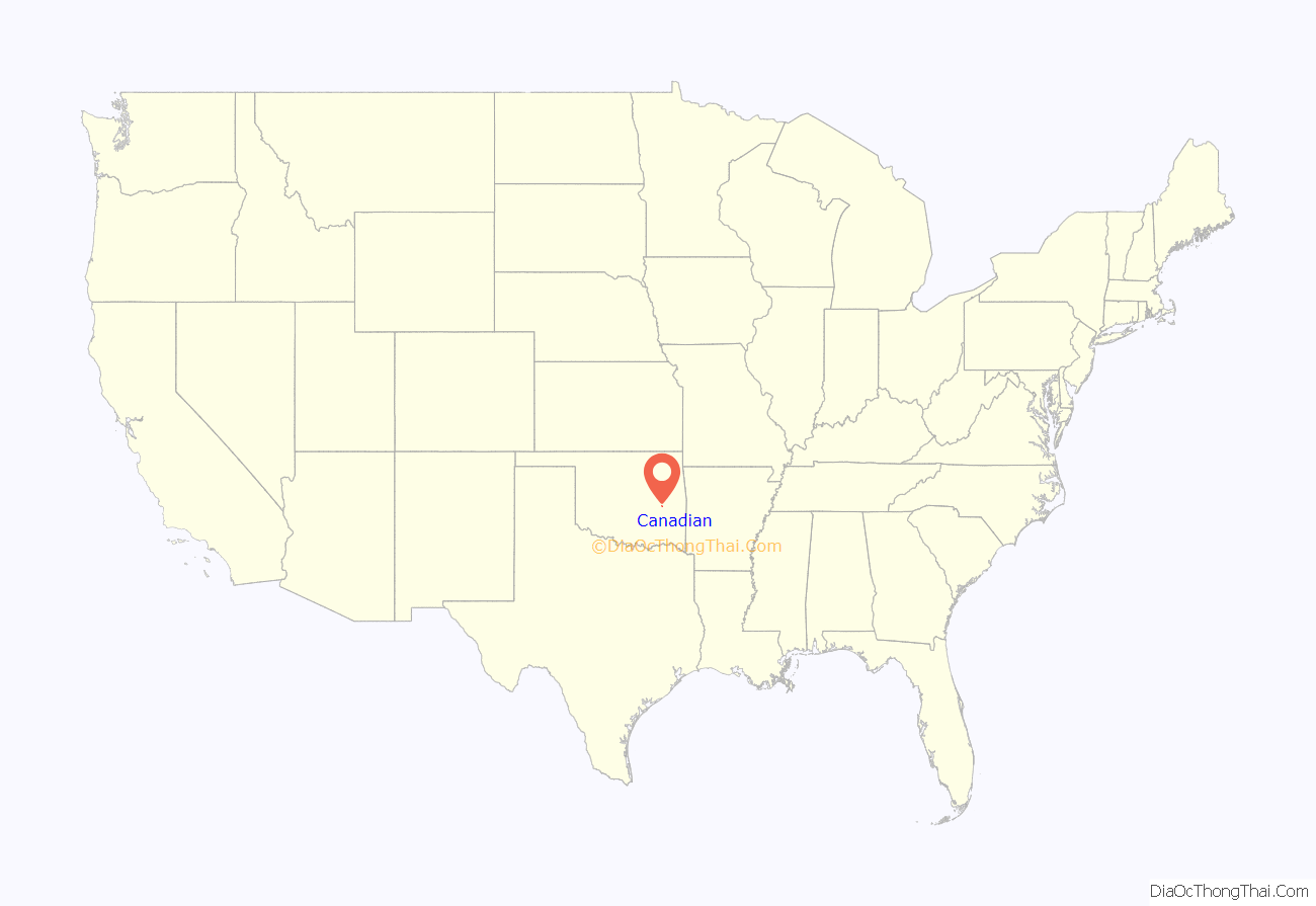
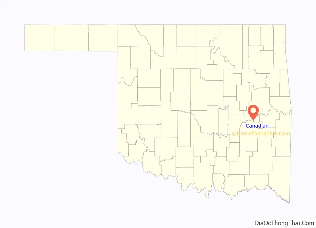
Canadian location map. Where is Canadian town?
History
At the time of its founding, Canadian was located in Tobucksy County, Choctaw Nation, in the Indian Territory. The settlement was originally called South Canadian, taking its name from the nearby South Fork of the Canadian River, now called Gaines Creek. A post office was established at South Canadian, Indian Territory on May 29, 1873. The name was changed to Canadian on December 11, 1899.
During the Civil War, the nearby Canadian Depot was an important supply depot.
Canadian Road Map
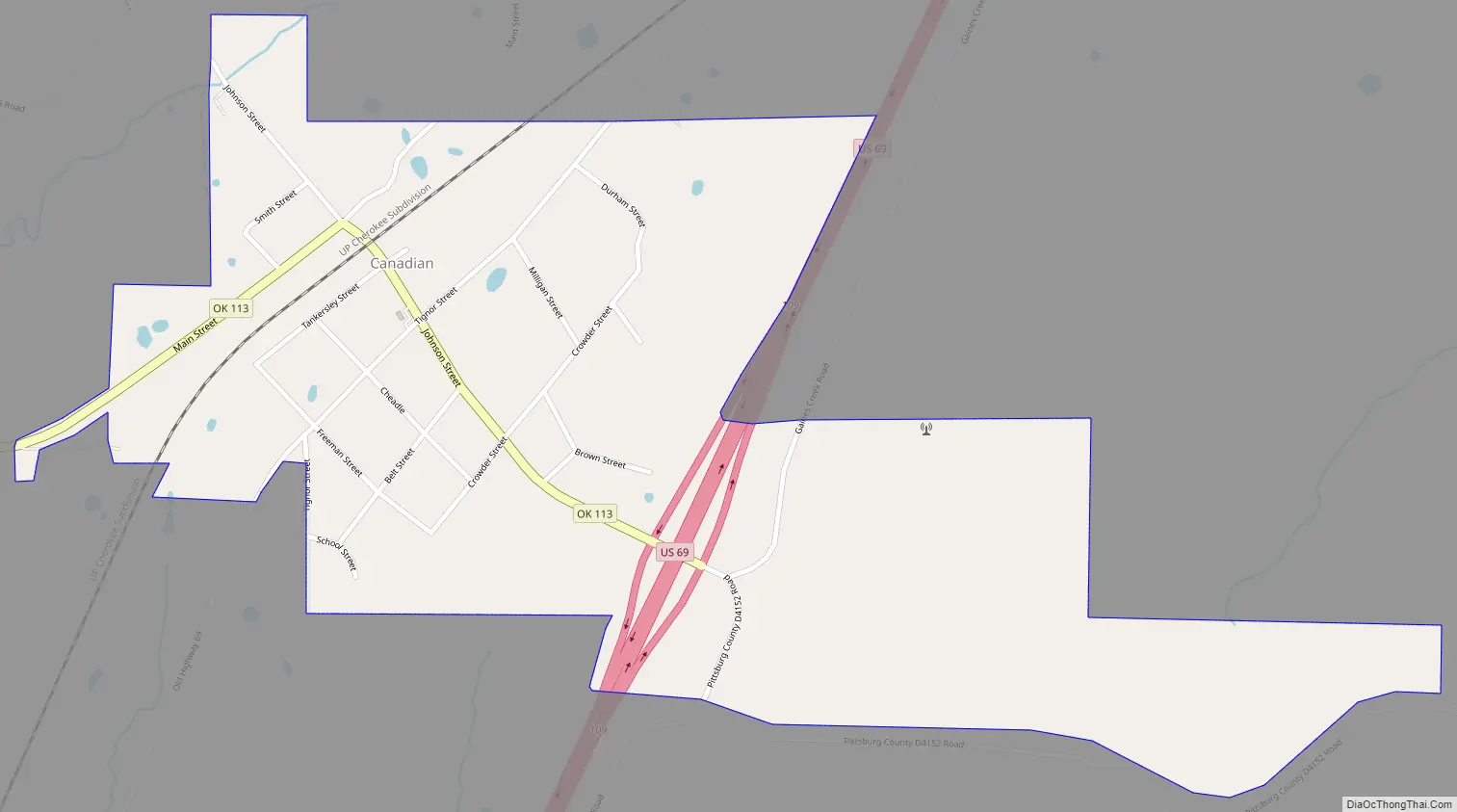
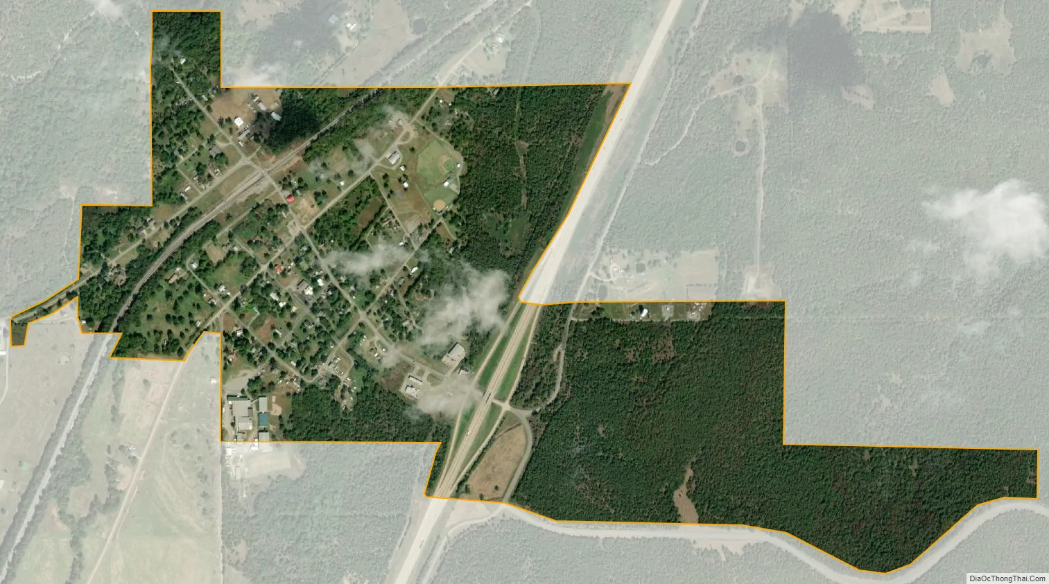
Canadian city Satellite Map
Geography
Canadian is located at 35°10′30″N 95°39′18″W / 35.17500°N 95.65500°W / 35.17500; -95.65500 (35.175033, -95.654947). According to the United States Census Bureau, the town has a total area of 0.8 square miles (2.1 km), all land.
See also
Map of Oklahoma State and its subdivision:- Adair
- Alfalfa
- Atoka
- Beaver
- Beckham
- Blaine
- Bryan
- Caddo
- Canadian
- Carter
- Cherokee
- Choctaw
- Cimarron
- Cleveland
- Coal
- Comanche
- Cotton
- Craig
- Creek
- Custer
- Delaware
- Dewey
- Ellis
- Garfield
- Garvin
- Grady
- Grant
- Greer
- Harmon
- Harper
- Haskell
- Hughes
- Jackson
- Jefferson
- Johnston
- Kay
- Kingfisher
- Kiowa
- Latimer
- Le Flore
- Lincoln
- Logan
- Love
- Major
- Marshall
- Mayes
- McClain
- McCurtain
- McIntosh
- Murray
- Muskogee
- Noble
- Nowata
- Okfuskee
- Oklahoma
- Okmulgee
- Osage
- Ottawa
- Pawnee
- Payne
- Pittsburg
- Pontotoc
- Pottawatomie
- Pushmataha
- Roger Mills
- Rogers
- Seminole
- Sequoyah
- Stephens
- Texas
- Tillman
- Tulsa
- Wagoner
- Washington
- Washita
- Woods
- Woodward
- Alabama
- Alaska
- Arizona
- Arkansas
- California
- Colorado
- Connecticut
- Delaware
- District of Columbia
- Florida
- Georgia
- Hawaii
- Idaho
- Illinois
- Indiana
- Iowa
- Kansas
- Kentucky
- Louisiana
- Maine
- Maryland
- Massachusetts
- Michigan
- Minnesota
- Mississippi
- Missouri
- Montana
- Nebraska
- Nevada
- New Hampshire
- New Jersey
- New Mexico
- New York
- North Carolina
- North Dakota
- Ohio
- Oklahoma
- Oregon
- Pennsylvania
- Rhode Island
- South Carolina
- South Dakota
- Tennessee
- Texas
- Utah
- Vermont
- Virginia
- Washington
- West Virginia
- Wisconsin
- Wyoming