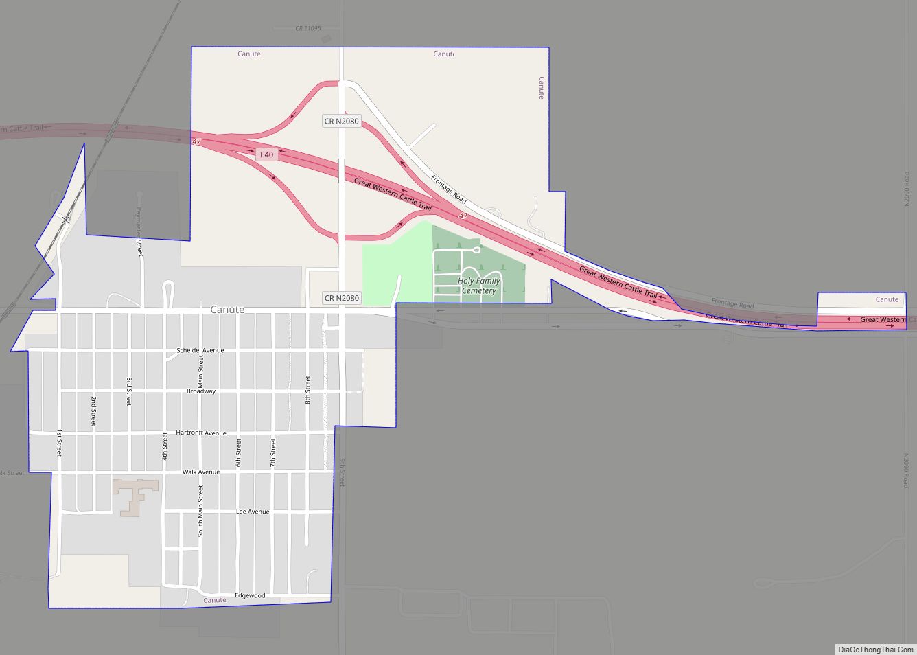
Canute is a town in Washita County, Oklahoma, United States. The population was 541 at the 2010 census.
| Name: | Canute town |
|---|---|
| LSAD Code: | 43 |
| LSAD Description: | town (suffix) |
| State: | Oklahoma |
| County: | Washita County |
| Elevation: | 1,896 ft (578 m) |
| Total Area: | 0.63 sq mi (1.63 km²) |
| Land Area: | 0.63 sq mi (1.63 km²) |
| Water Area: | 0.00 sq mi (0.00 km²) |
| Total Population: | 494 |
| Population Density: | 782.88/sq mi (302.18/km²) |
| ZIP code: | 73626 |
| Area code: | 580 |
| FIPS code: | 4011650 |
| GNISfeature ID: | 1090936 |
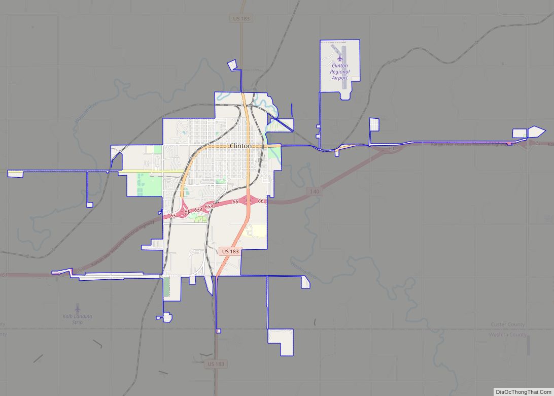
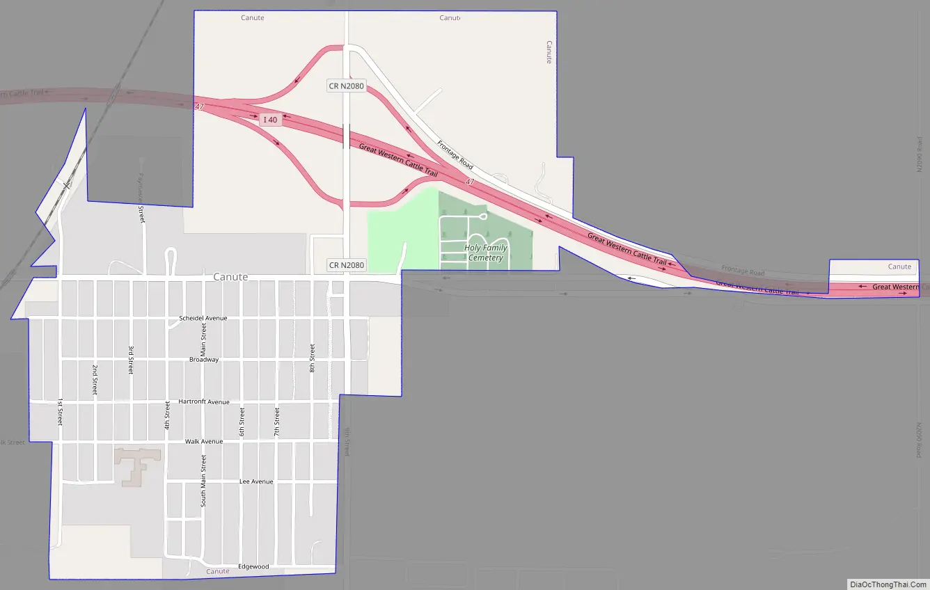
Online Interactive Map
Click on ![]() to view map in "full screen" mode.
to view map in "full screen" mode.
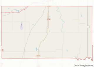
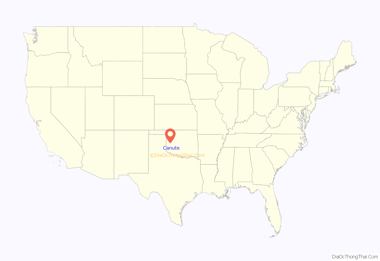
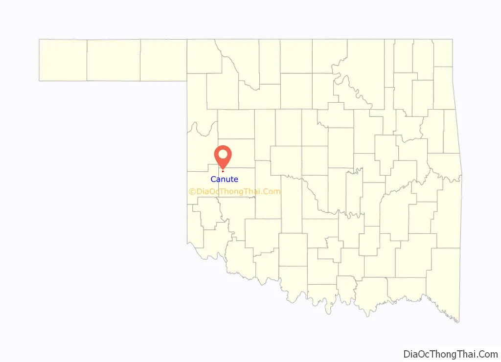
Canute location map. Where is Canute town?
History
Canute was established in the early 1900s and is located on the now-defunct Rock Island Railroad. Following the advent of the automobile, Canute became a popular stop along U.S. Route 66 and a large number of tourist businesses were established, including gasoline service stations, motels and restaurants. However, when Interstate 40 bypassed the small village to the north in May 1970 and received only one exit from the freeway, the local economy went into a decline due to the bypass and the concurrent closure of nearby Clinton-Sherman Air Force Base at Burns Flat, leading most of those businesses to shut down. Today, Canute businesses include a bank and auto repair shop on Route 66, along with a gas station/convenience store. Former Oklahoma governor David Walters was born in Canute.
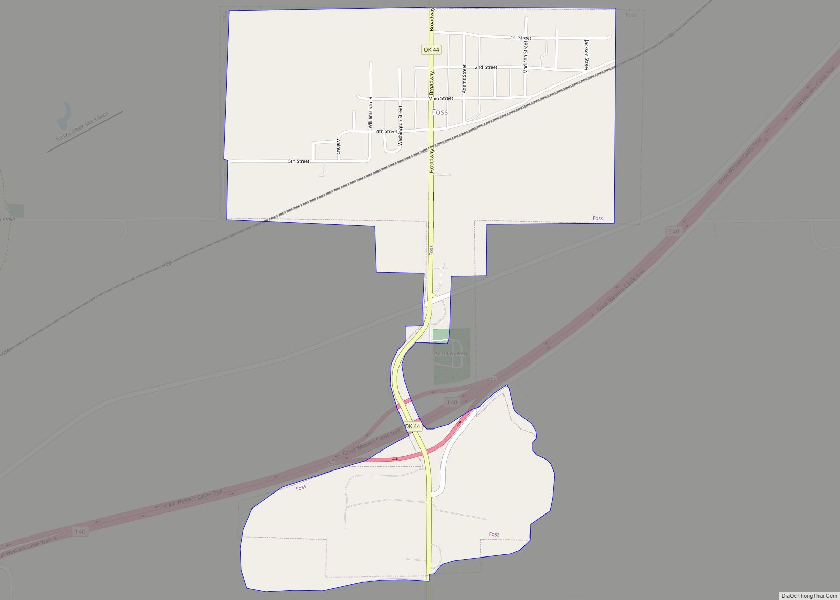
Canute Road Map
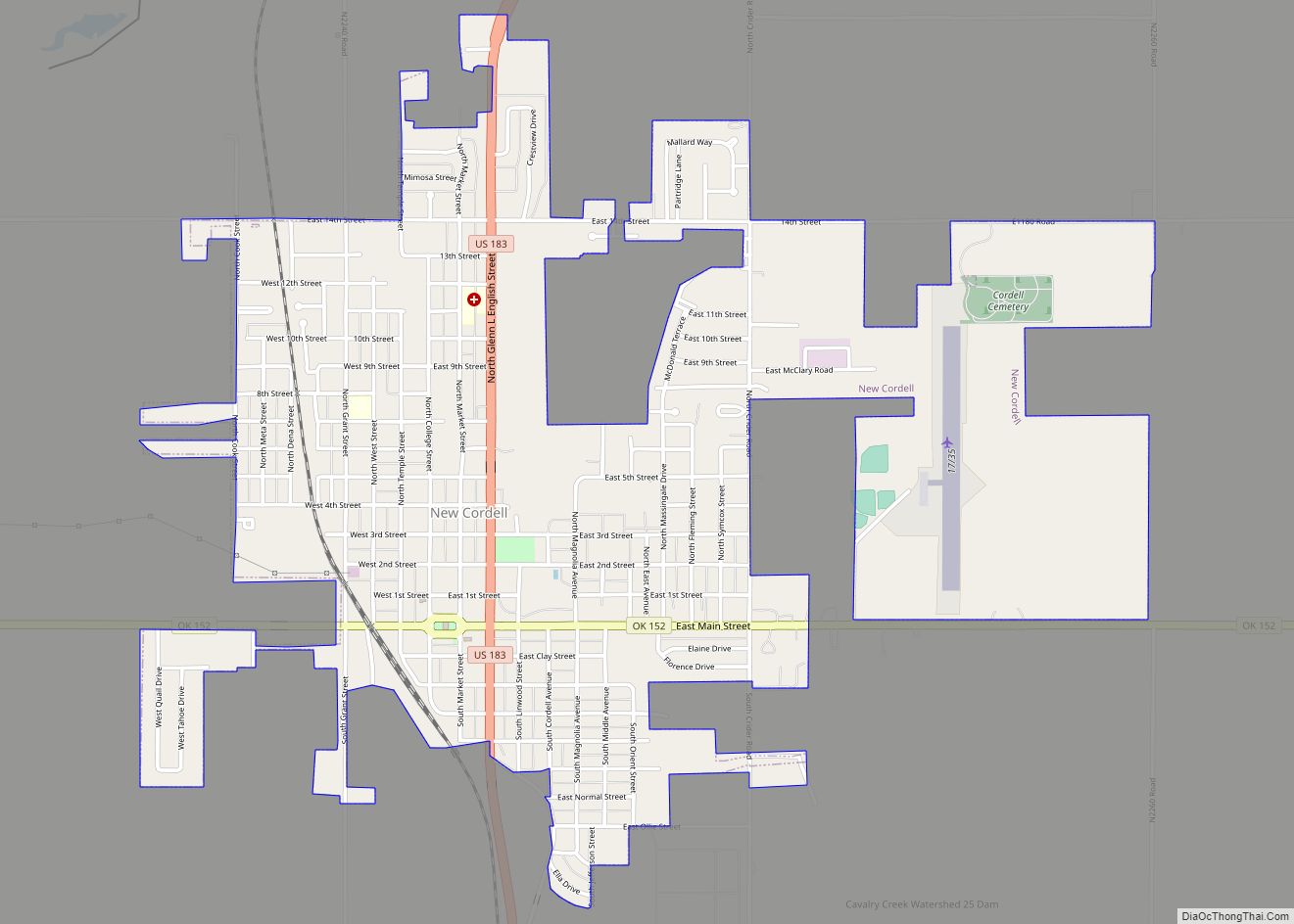
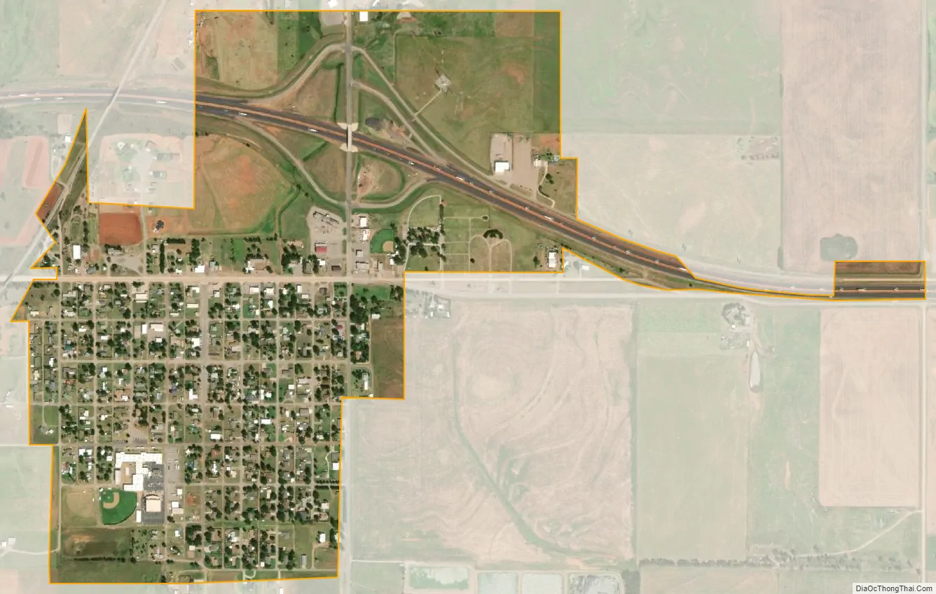
Canute city Satellite Map
Geography
Canute is located at 35°25′14″N 99°16′48″W / 35.42056°N 99.28000°W / 35.42056; -99.28000 (35.420440, -99.279864), elevation 1,890 feet (576 m).According to the United States Census Bureau, the town has a total area of 0.6 square miles (1.6 km), all land.
Climate
See also
Map of Oklahoma State and its subdivision:- Adair
- Alfalfa
- Atoka
- Beaver
- Beckham
- Blaine
- Bryan
- Caddo
- Canadian
- Carter
- Cherokee
- Choctaw
- Cimarron
- Cleveland
- Coal
- Comanche
- Cotton
- Craig
- Creek
- Custer
- Delaware
- Dewey
- Ellis
- Garfield
- Garvin
- Grady
- Grant
- Greer
- Harmon
- Harper
- Haskell
- Hughes
- Jackson
- Jefferson
- Johnston
- Kay
- Kingfisher
- Kiowa
- Latimer
- Le Flore
- Lincoln
- Logan
- Love
- Major
- Marshall
- Mayes
- McClain
- McCurtain
- McIntosh
- Murray
- Muskogee
- Noble
- Nowata
- Okfuskee
- Oklahoma
- Okmulgee
- Osage
- Ottawa
- Pawnee
- Payne
- Pittsburg
- Pontotoc
- Pottawatomie
- Pushmataha
- Roger Mills
- Rogers
- Seminole
- Sequoyah
- Stephens
- Texas
- Tillman
- Tulsa
- Wagoner
- Washington
- Washita
- Woods
- Woodward
- Alabama
- Alaska
- Arizona
- Arkansas
- California
- Colorado
- Connecticut
- Delaware
- District of Columbia
- Florida
- Georgia
- Hawaii
- Idaho
- Illinois
- Indiana
- Iowa
- Kansas
- Kentucky
- Louisiana
- Maine
- Maryland
- Massachusetts
- Michigan
- Minnesota
- Mississippi
- Missouri
- Montana
- Nebraska
- Nevada
- New Hampshire
- New Jersey
- New Mexico
- New York
- North Carolina
- North Dakota
- Ohio
- Oklahoma
- Oregon
- Pennsylvania
- Rhode Island
- South Carolina
- South Dakota
- Tennessee
- Texas
- Utah
- Vermont
- Virginia
- Washington
- West Virginia
- Wisconsin
- Wyoming