Cayuga Springs is an unincorporated community and census-designated place (CDP) in Delaware County, Oklahoma, United States. The population was 140 at the 2010 census, a 33.3 percent increase over the figure of 105 recorded in 2000.
It was established on the Elk River in the old Seneca Reserve in Indian Territory. The Cayuga Springs Post Office existed from June 11, 1884, until April 30, 1905.
| Name: | Cayuga CDP |
|---|---|
| LSAD Code: | 57 |
| LSAD Description: | CDP (suffix) |
| State: | Oklahoma |
| County: | Delaware County |
| Elevation: | 755 ft (230 m) |
| Total Area: | 7.10 sq mi (18.40 km²) |
| Land Area: | 7.05 sq mi (18.26 km²) |
| Water Area: | 0.05 sq mi (0.13 km²) |
| Total Population: | 160 |
| Population Density: | 22.69/sq mi (8.76/km²) |
| FIPS code: | 4012915 |
| GNISfeature ID: | 1100276 |
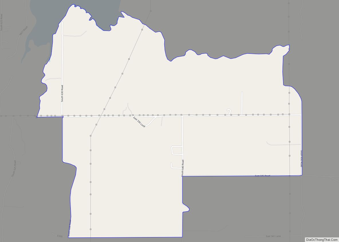
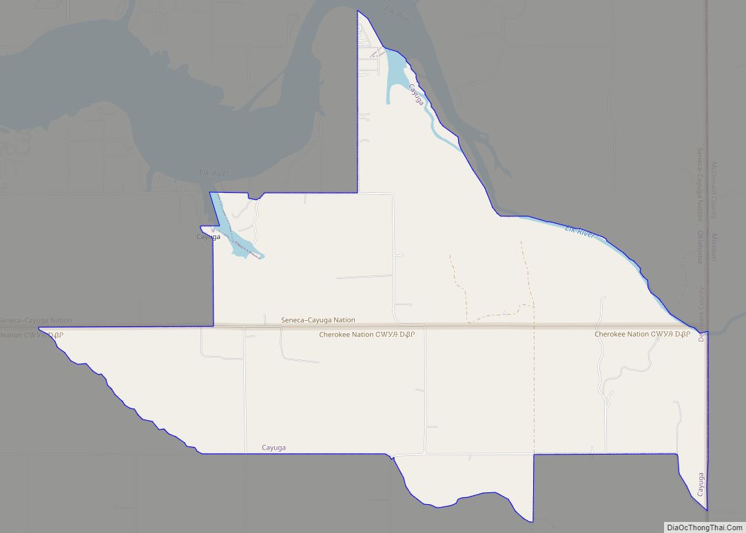
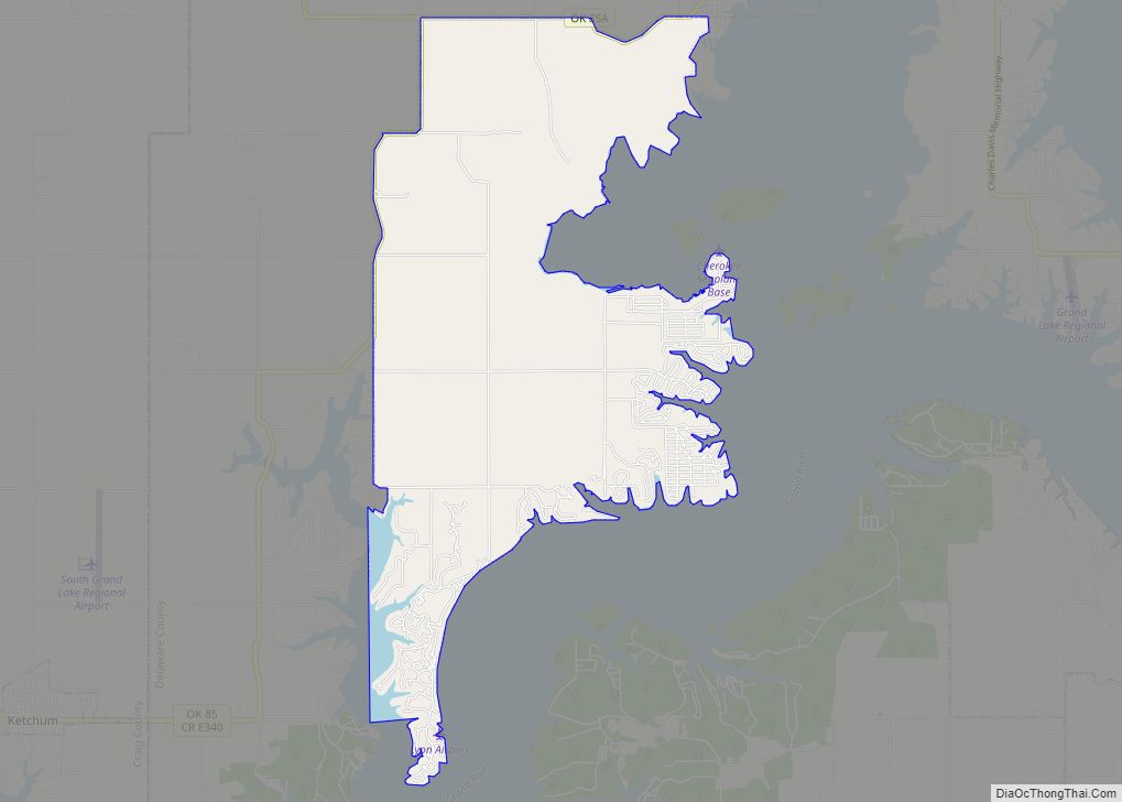
Online Interactive Map
Click on ![]() to view map in "full screen" mode.
to view map in "full screen" mode.
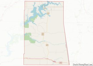
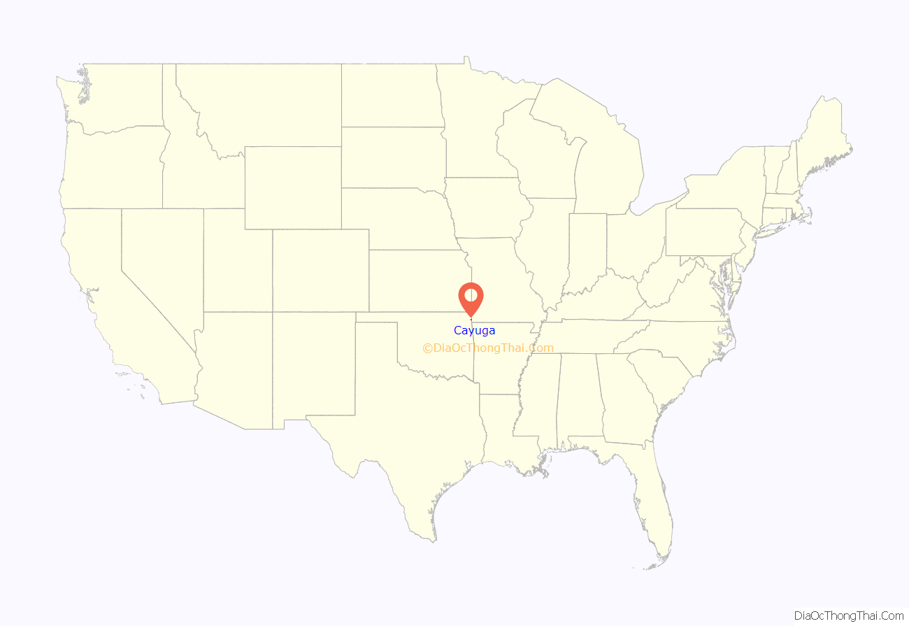
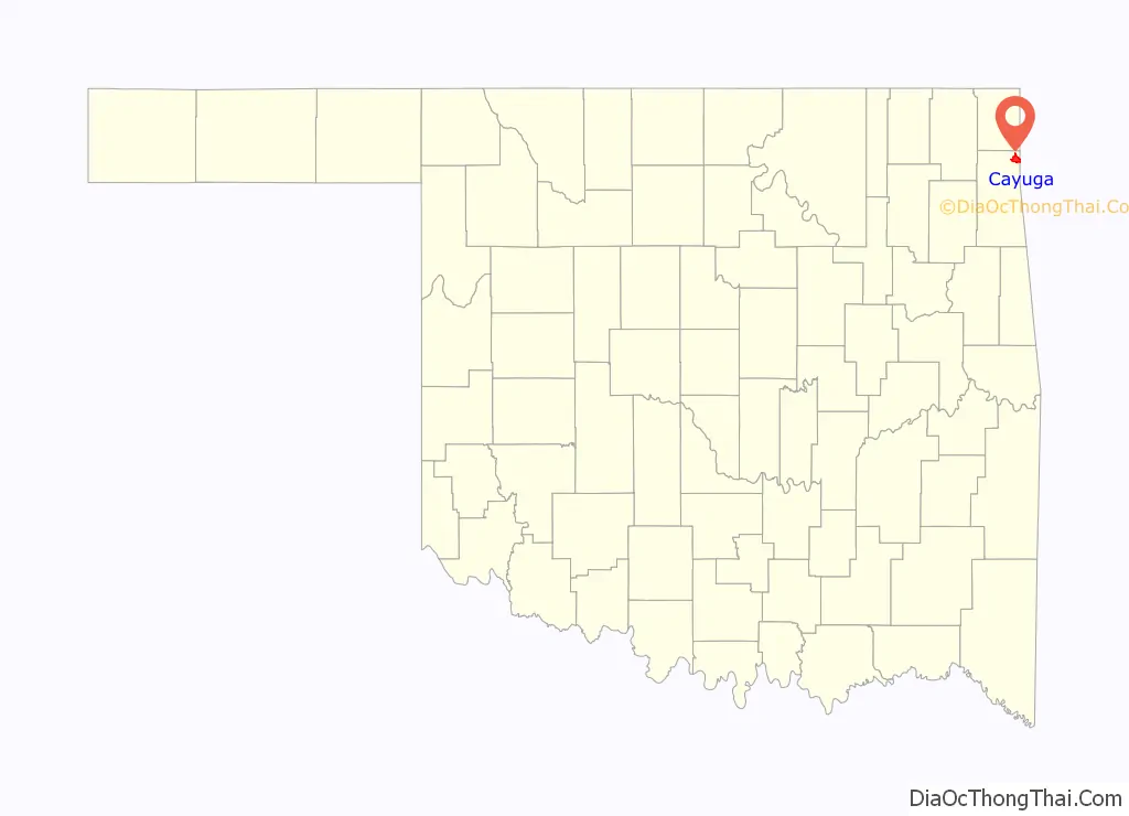
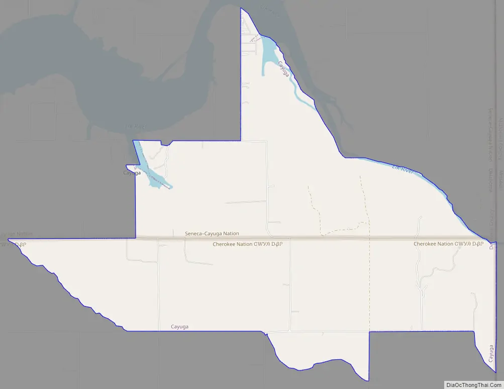
Cayuga location map. Where is Cayuga CDP?
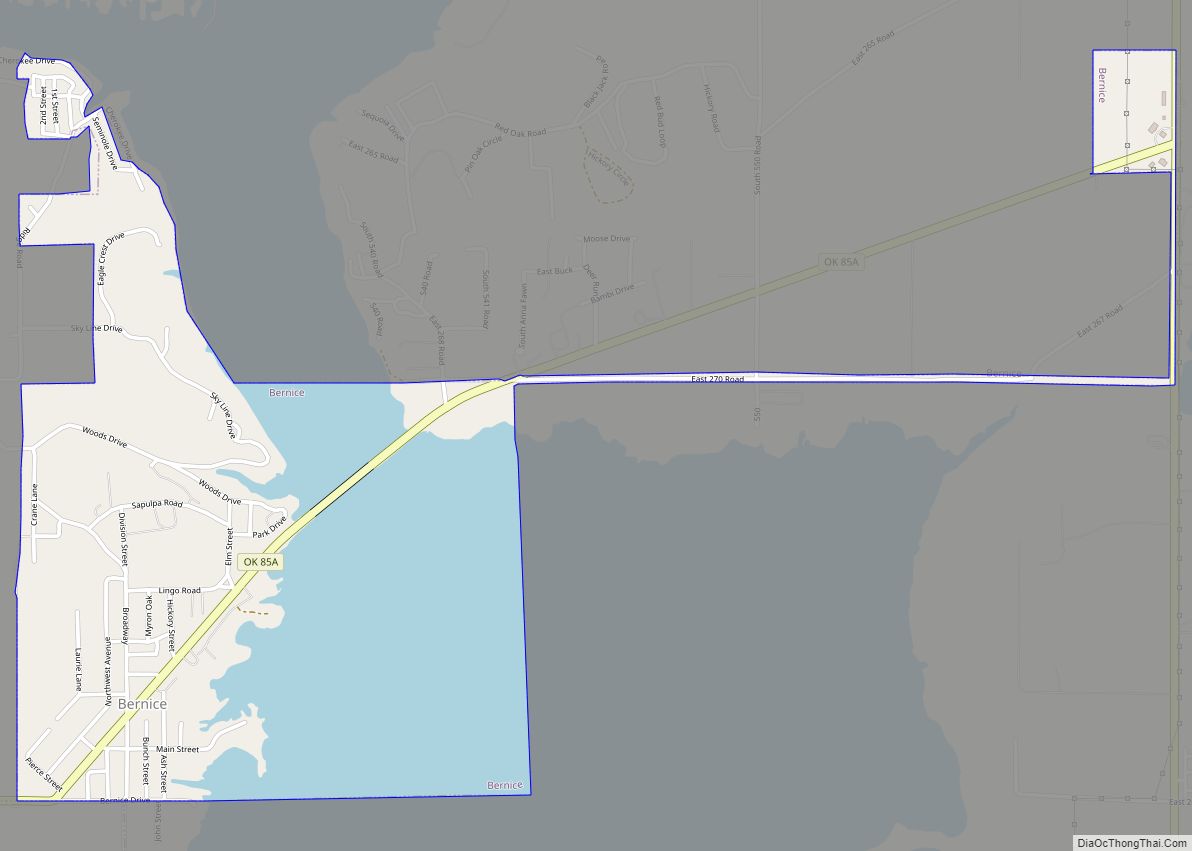
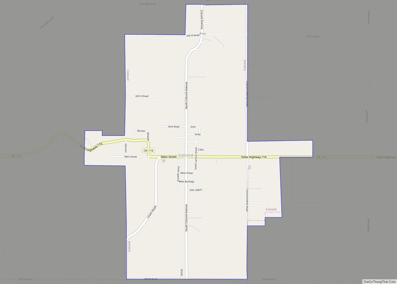
Cayuga Road Map
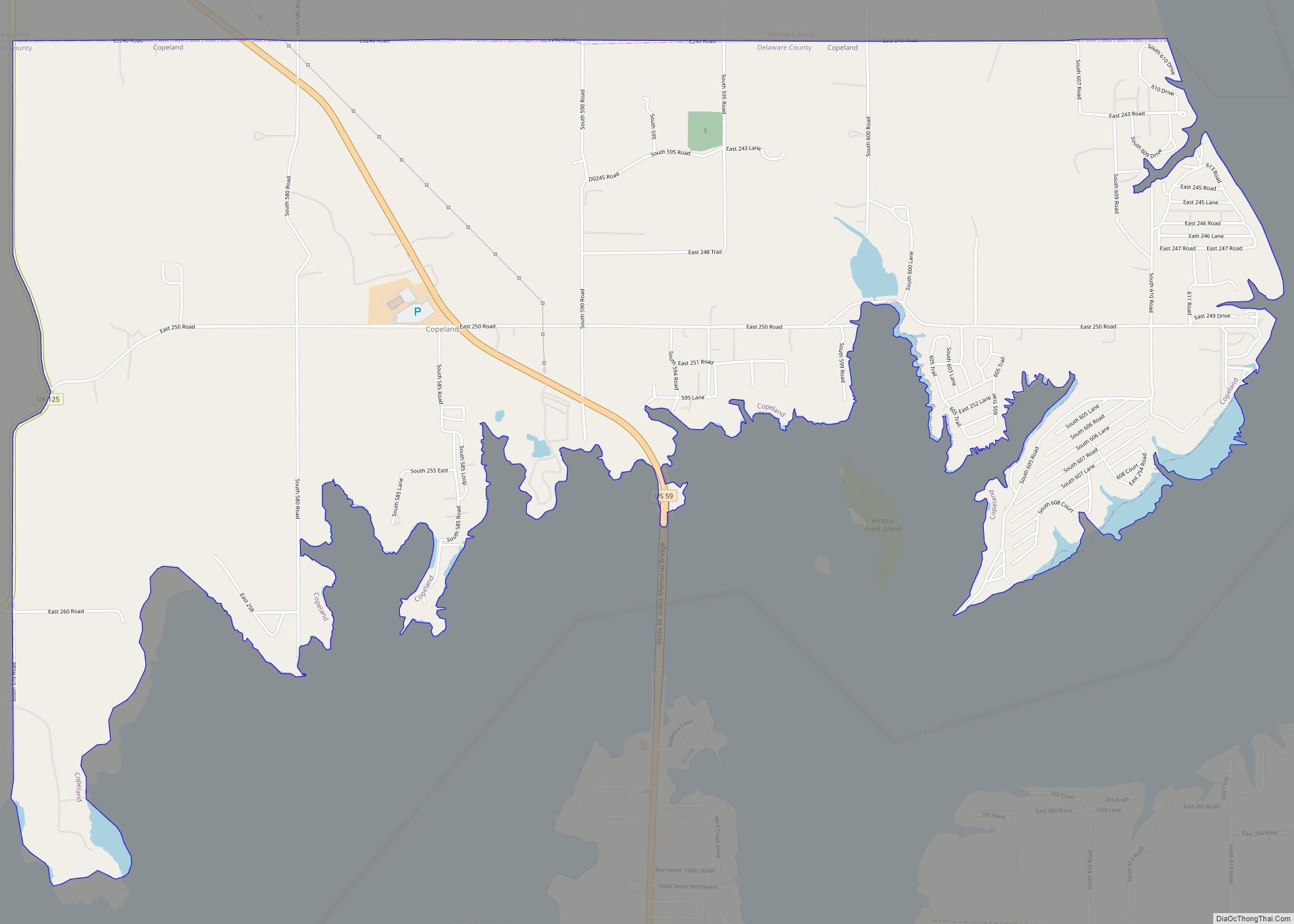
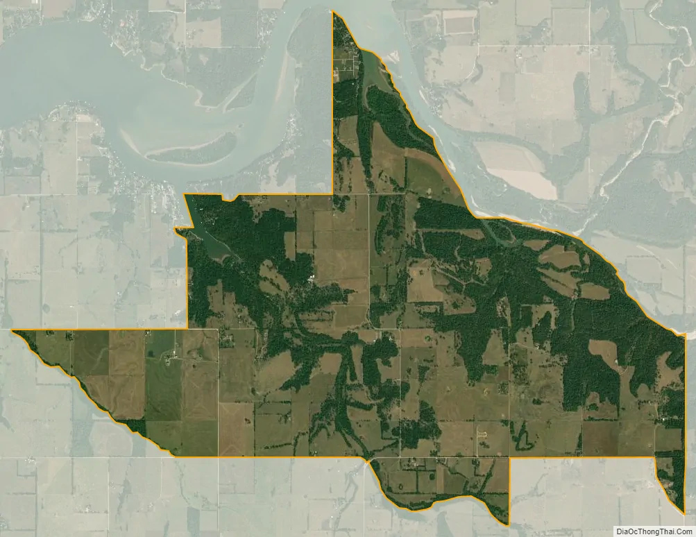
Cayuga city Satellite Map
Geography
Cayuga Springs is located in northeastern Delaware County at 36°38′42″N 94°40′45″W / 36.64500°N 94.67917°W / 36.64500; -94.67917 (36.6340558, -94.67942849999997). Its eastern edge follows the Missouri state line. It is 7 miles (11 km) northeast of Grove, the largest city in Delaware County.
According to the United States Census Bureau, the CDP has a total area of 7.1 square miles (18.3 km), all land.
See also
Map of Oklahoma State and its subdivision:- Adair
- Alfalfa
- Atoka
- Beaver
- Beckham
- Blaine
- Bryan
- Caddo
- Canadian
- Carter
- Cherokee
- Choctaw
- Cimarron
- Cleveland
- Coal
- Comanche
- Cotton
- Craig
- Creek
- Custer
- Delaware
- Dewey
- Ellis
- Garfield
- Garvin
- Grady
- Grant
- Greer
- Harmon
- Harper
- Haskell
- Hughes
- Jackson
- Jefferson
- Johnston
- Kay
- Kingfisher
- Kiowa
- Latimer
- Le Flore
- Lincoln
- Logan
- Love
- Major
- Marshall
- Mayes
- McClain
- McCurtain
- McIntosh
- Murray
- Muskogee
- Noble
- Nowata
- Okfuskee
- Oklahoma
- Okmulgee
- Osage
- Ottawa
- Pawnee
- Payne
- Pittsburg
- Pontotoc
- Pottawatomie
- Pushmataha
- Roger Mills
- Rogers
- Seminole
- Sequoyah
- Stephens
- Texas
- Tillman
- Tulsa
- Wagoner
- Washington
- Washita
- Woods
- Woodward
- Alabama
- Alaska
- Arizona
- Arkansas
- California
- Colorado
- Connecticut
- Delaware
- District of Columbia
- Florida
- Georgia
- Hawaii
- Idaho
- Illinois
- Indiana
- Iowa
- Kansas
- Kentucky
- Louisiana
- Maine
- Maryland
- Massachusetts
- Michigan
- Minnesota
- Mississippi
- Missouri
- Montana
- Nebraska
- Nevada
- New Hampshire
- New Jersey
- New Mexico
- New York
- North Carolina
- North Dakota
- Ohio
- Oklahoma
- Oregon
- Pennsylvania
- Rhode Island
- South Carolina
- South Dakota
- Tennessee
- Texas
- Utah
- Vermont
- Virginia
- Washington
- West Virginia
- Wisconsin
- Wyoming