Comanche is a city in Stephens County, Oklahoma, United States. The population was 1,663 at the 2010 census.
| Name: | Comanche city |
|---|---|
| LSAD Code: | 25 |
| LSAD Description: | city (suffix) |
| State: | Oklahoma |
| County: | Stephens County |
| Elevation: | 988 ft (301 m) |
| Total Area: | 4.27 sq mi (11.06 km²) |
| Land Area: | 4.24 sq mi (10.97 km²) |
| Water Area: | 0.04 sq mi (0.09 km²) |
| Total Population: | 1,378 |
| Population Density: | 325.31/sq mi (125.59/km²) |
| ZIP code: | 73529 |
| Area code: | 580 |
| FIPS code: | 4016450 |
| GNISfeature ID: | 1091585 |
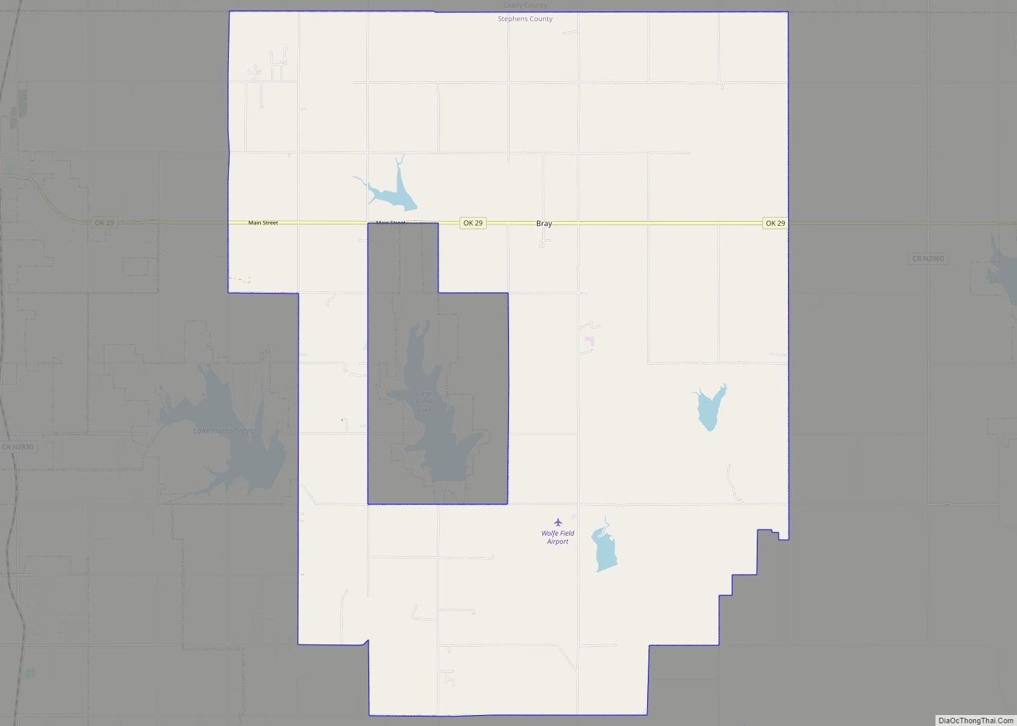
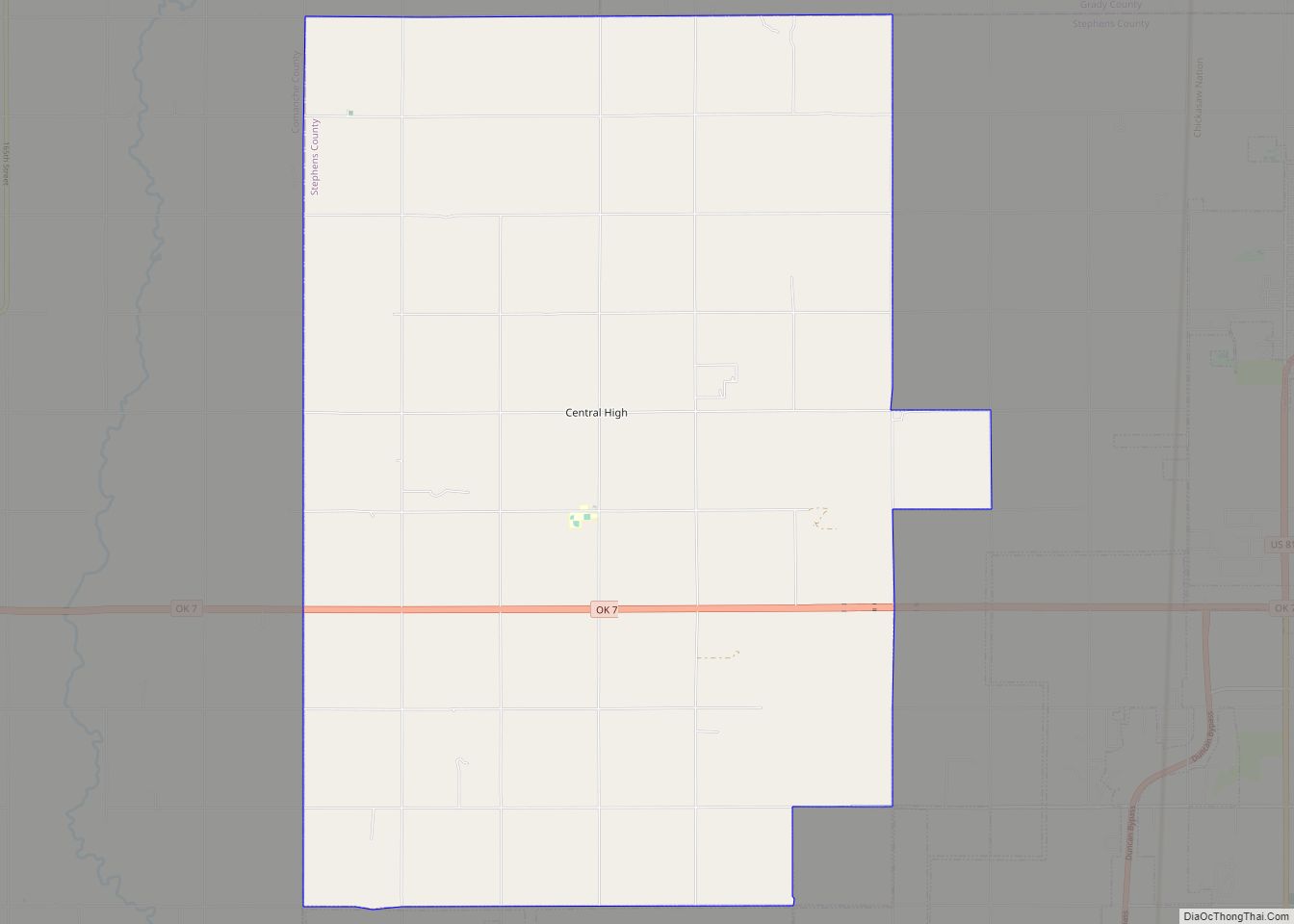
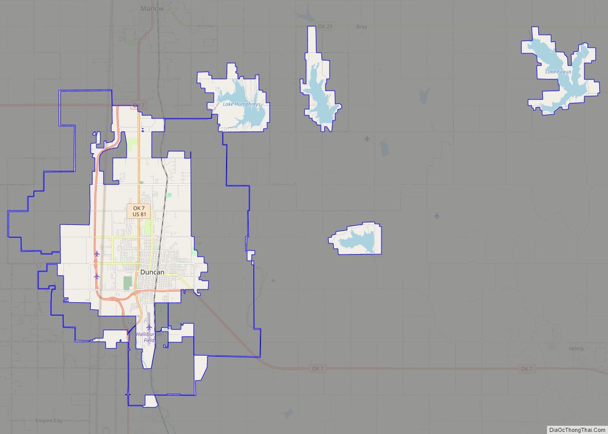
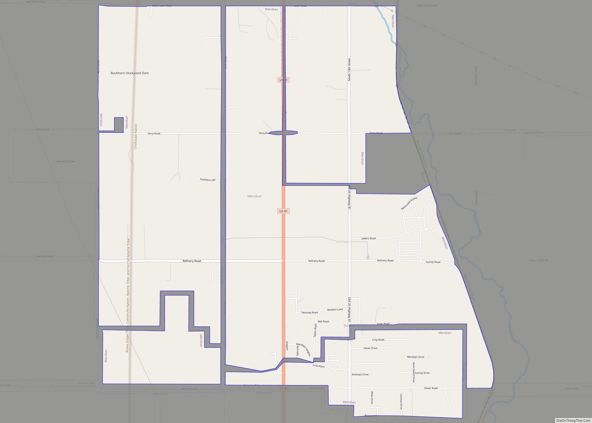
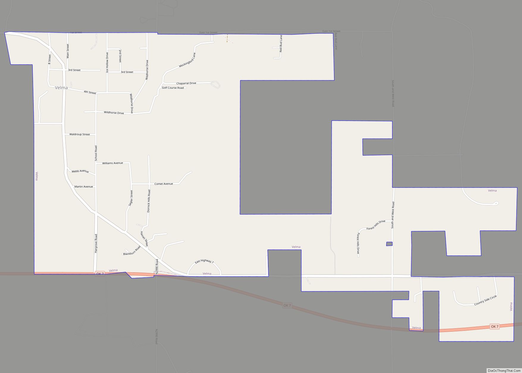
Online Interactive Map
Click on ![]() to view map in "full screen" mode.
to view map in "full screen" mode.
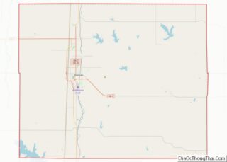
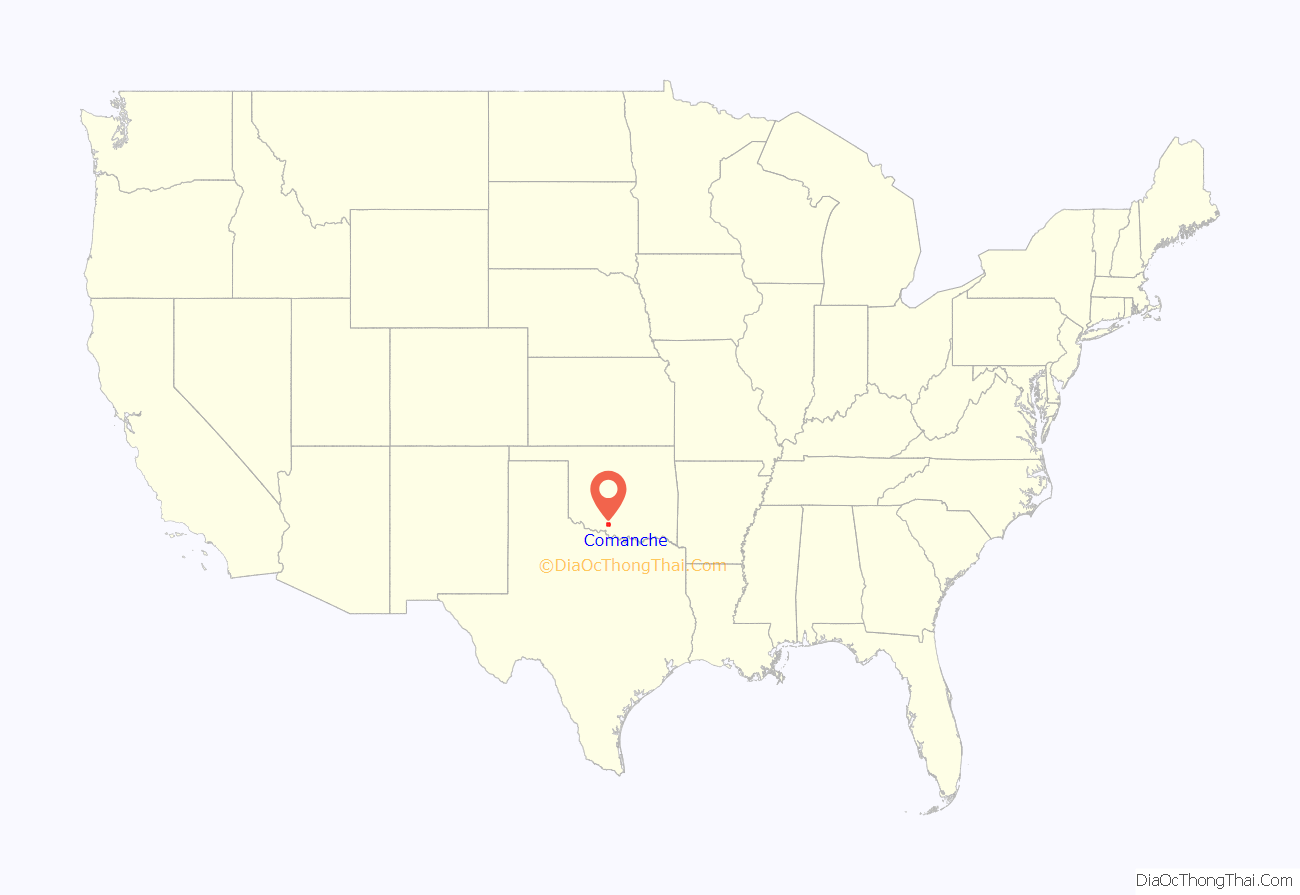
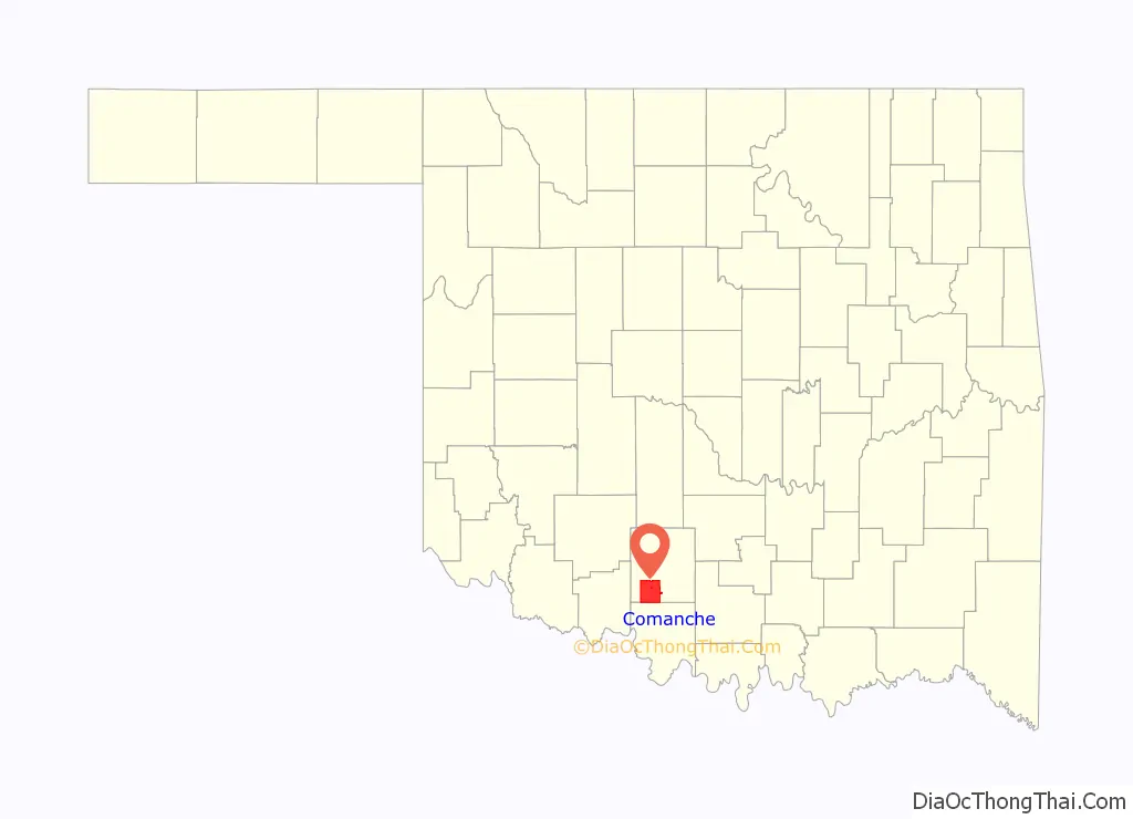
Comanche location map. Where is Comanche city?
History
Comanche is a small city in southwest Oklahoma, set in rolling prairie land interspersed with oil fields, ranches, farms, pecan orchards, and timbered areas.
Comanche is located in what was once the famous Louisiana Purchase, a part of which was later in 1855 designated Indian Territory, and set aside for the Five Civilized Tribes. Comanche then became part of the Chickasaw Nation and was identified as Comanche, Indian Territory until statehood in 1907.
The city has had a series of names. The first settlers lived north of the present site and called the settlement Tucker. With the coming of the Rock Island Railroad in 1892, Indian landowner Johnny D. Wilson gave the city its present site on the railroad, and the Tucker post office was moved here in 1893. Many had wanted to call it Wilson Town, and some called it Border Queen because of the annual large celebrations, carnivals, bands, and Indian activities. Mr. Wilson, however, insisted it be named Comanche because of the Comanche Indians who roamed here.
Comanche was incorporated November 23, 1898 and began its progress located about two miles (3.2 km) east of present-day Comanche. The cattle were driven from Texas, through Indian Territory to Kansas for shipment east. Parts of this historic trail can still be clearly seen today.
Comanche has a colorful history that is still reflected in its lifestyle and activities. A western flavor is felt here, and Comanche is often called the “rodeo capital of the world”. Certainly, many World Champion Rodeo performers call Comanche home. Race horse, Quarter Horse owners, and farmers add their influence as do oil companies and oil field workers. Authentic Indian customs and tribal observations are still practiced. Artists, educators, and others add still more variety and culture. Truly, it can be said that Comanche’s greatest asset is its diversity of talent and people.
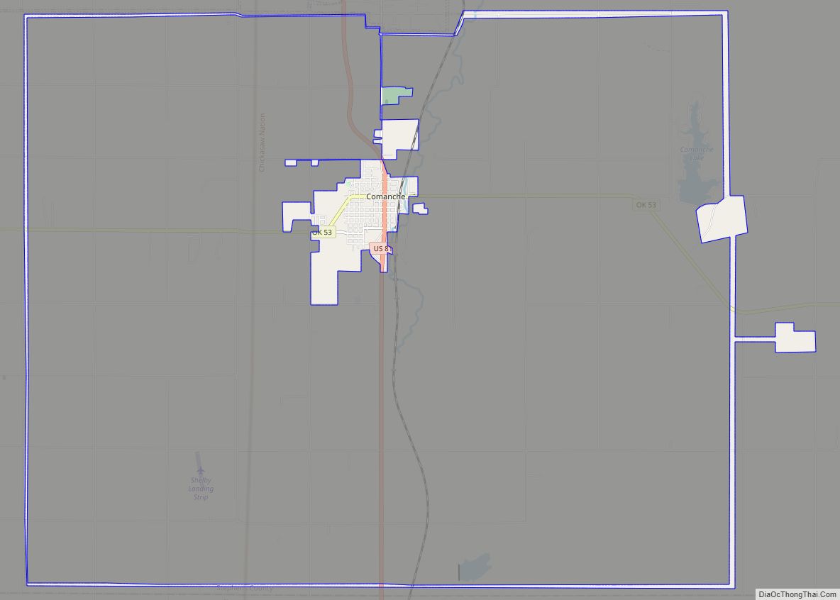
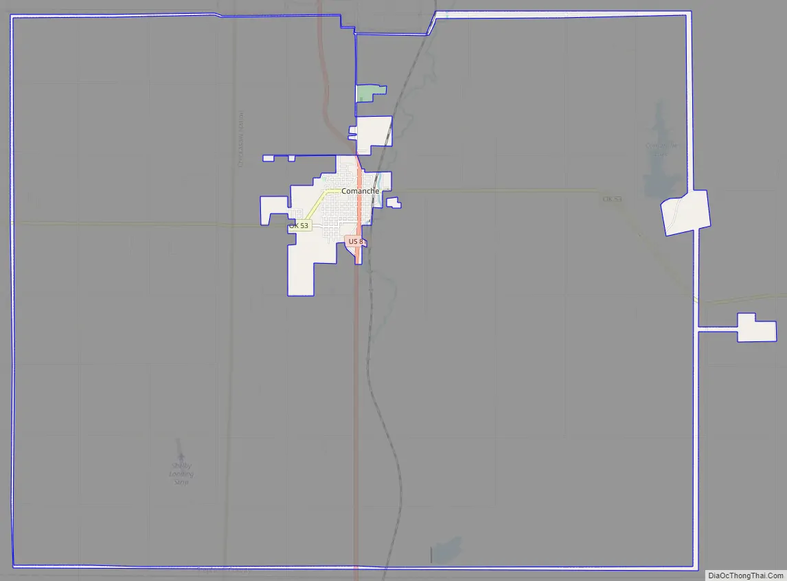
Comanche Road Map
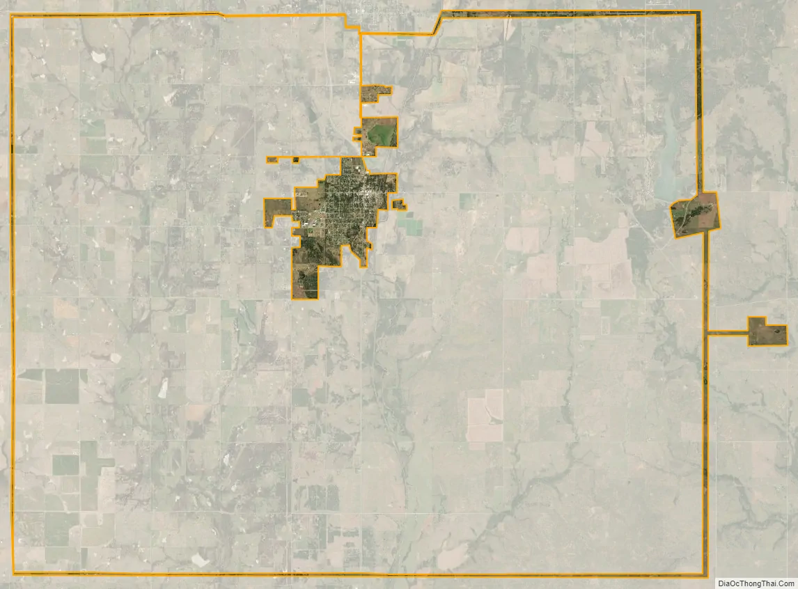
Comanche city Satellite Map
Geography
Comanche is located at 34°21′55″N 97°58′7″W / 34.36528°N 97.96861°W / 34.36528; -97.96861 (34.365189, -97.968640).
According to the United States Census Bureau, the city has a total area of 4.6 square miles (12 km), all land.
See also
Map of Oklahoma State and its subdivision:- Adair
- Alfalfa
- Atoka
- Beaver
- Beckham
- Blaine
- Bryan
- Caddo
- Canadian
- Carter
- Cherokee
- Choctaw
- Cimarron
- Cleveland
- Coal
- Comanche
- Cotton
- Craig
- Creek
- Custer
- Delaware
- Dewey
- Ellis
- Garfield
- Garvin
- Grady
- Grant
- Greer
- Harmon
- Harper
- Haskell
- Hughes
- Jackson
- Jefferson
- Johnston
- Kay
- Kingfisher
- Kiowa
- Latimer
- Le Flore
- Lincoln
- Logan
- Love
- Major
- Marshall
- Mayes
- McClain
- McCurtain
- McIntosh
- Murray
- Muskogee
- Noble
- Nowata
- Okfuskee
- Oklahoma
- Okmulgee
- Osage
- Ottawa
- Pawnee
- Payne
- Pittsburg
- Pontotoc
- Pottawatomie
- Pushmataha
- Roger Mills
- Rogers
- Seminole
- Sequoyah
- Stephens
- Texas
- Tillman
- Tulsa
- Wagoner
- Washington
- Washita
- Woods
- Woodward
- Alabama
- Alaska
- Arizona
- Arkansas
- California
- Colorado
- Connecticut
- Delaware
- District of Columbia
- Florida
- Georgia
- Hawaii
- Idaho
- Illinois
- Indiana
- Iowa
- Kansas
- Kentucky
- Louisiana
- Maine
- Maryland
- Massachusetts
- Michigan
- Minnesota
- Mississippi
- Missouri
- Montana
- Nebraska
- Nevada
- New Hampshire
- New Jersey
- New Mexico
- New York
- North Carolina
- North Dakota
- Ohio
- Oklahoma
- Oregon
- Pennsylvania
- Rhode Island
- South Carolina
- South Dakota
- Tennessee
- Texas
- Utah
- Vermont
- Virginia
- Washington
- West Virginia
- Wisconsin
- Wyoming