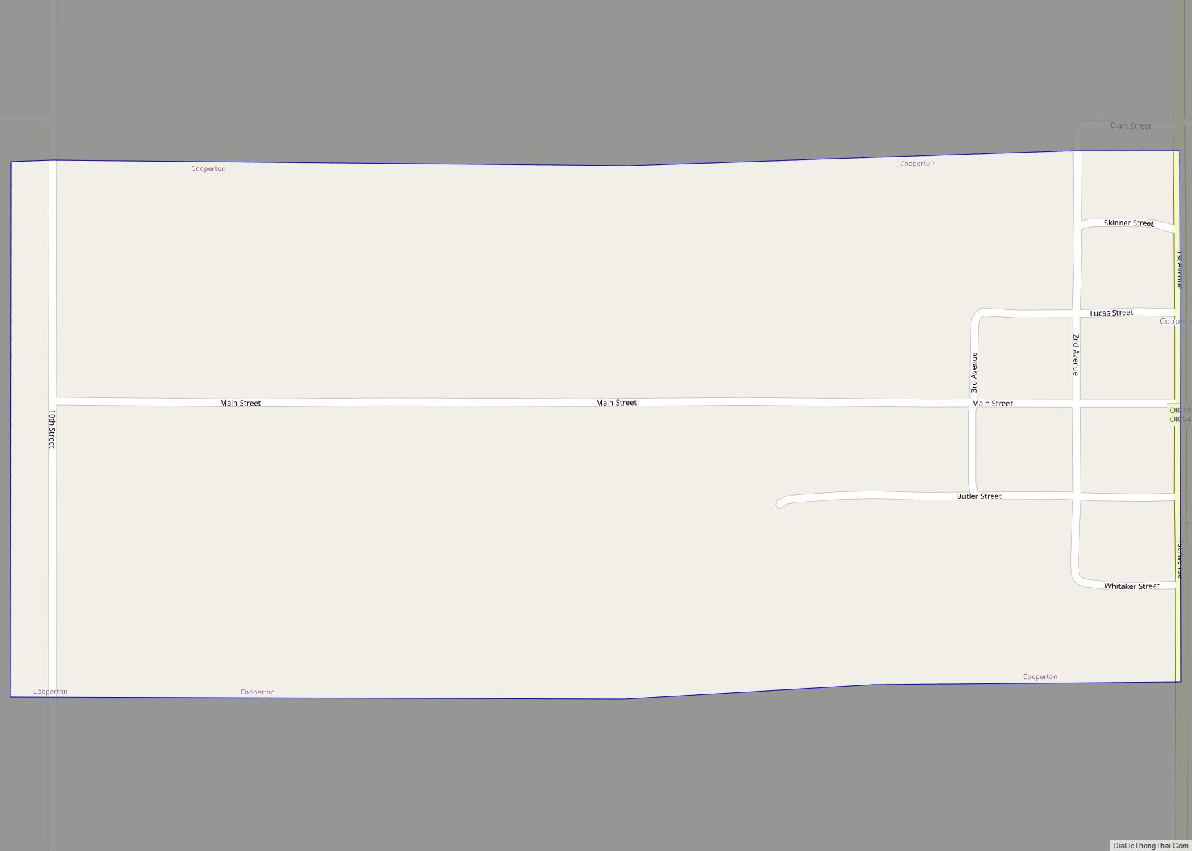
Cooperton is a town in Kiowa County, Oklahoma, United States. The population was 16 at the 2010 census, a decline of 20 percent from the total of 20 in 2000.
| Name: | Cooperton town |
|---|---|
| LSAD Code: | 43 |
| LSAD Description: | town (suffix) |
| State: | Oklahoma |
| County: | Kiowa County |
| Elevation: | 1,555 ft (474 m) |
| Total Area: | 0.52 sq mi (1.34 km²) |
| Land Area: | 0.52 sq mi (1.34 km²) |
| Water Area: | 0.00 sq mi (0.00 km²) |
| Total Population: | 3 |
| Population Density: | 5.80/sq mi (2.24/km²) |
| FIPS code: | 4017050 |
| GNISfeature ID: | 1091677 |
Online Interactive Map
Click on ![]() to view map in "full screen" mode.
to view map in "full screen" mode.
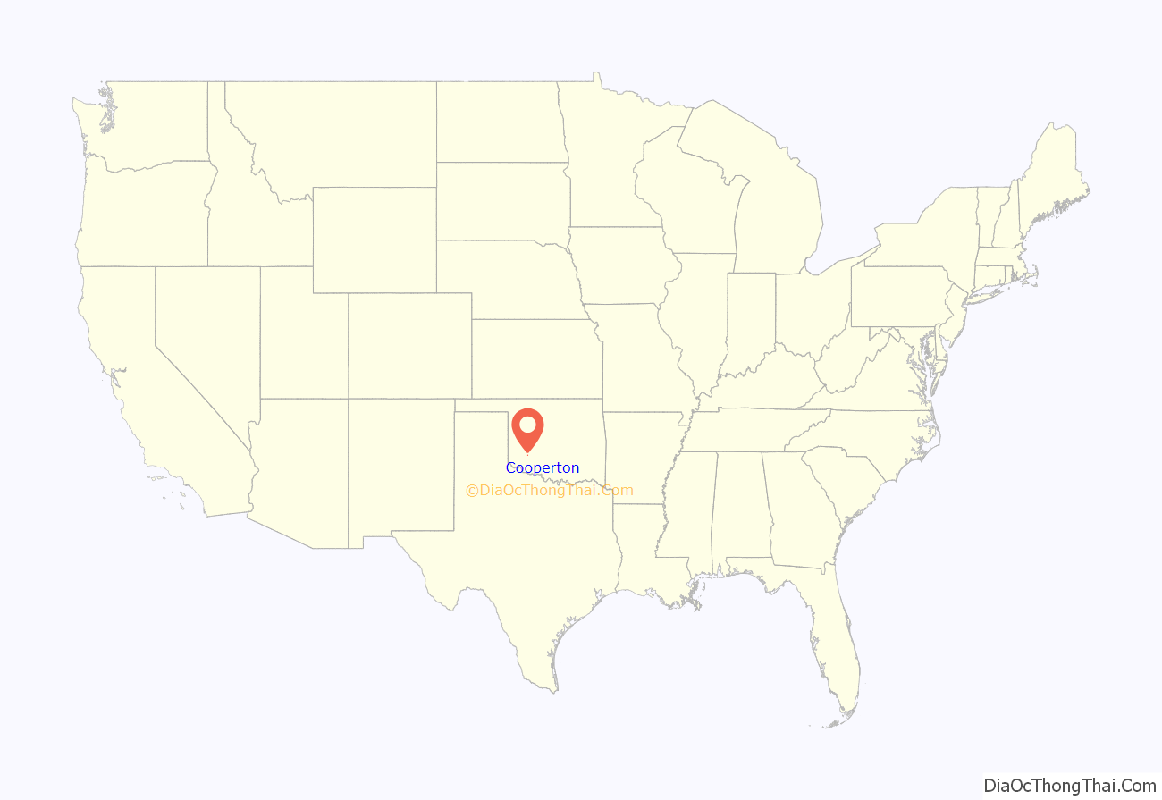
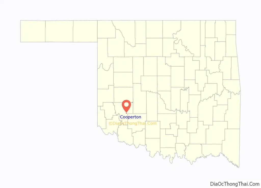
Cooperton location map. Where is Cooperton town?
History
This community, originally called Cooper, was planned in 1899 by Frank Cooper, who had organized a settlement company in anticipation of the opening of the Kiowa, Comanche and Apache Reservation in August 1901. Learning that the land would be granted by lottery instead of a run, Cooper requested and was granted 320 acres for members of his company. The name had to be changed to Cooperton, because there was already another community named Cooper in the territory.
Cooperton had one hundred residents by 1910, and reached its peak population of 187 by 1940. Thereafter, the population declined, reaching 20 by the start of the 21st Century.
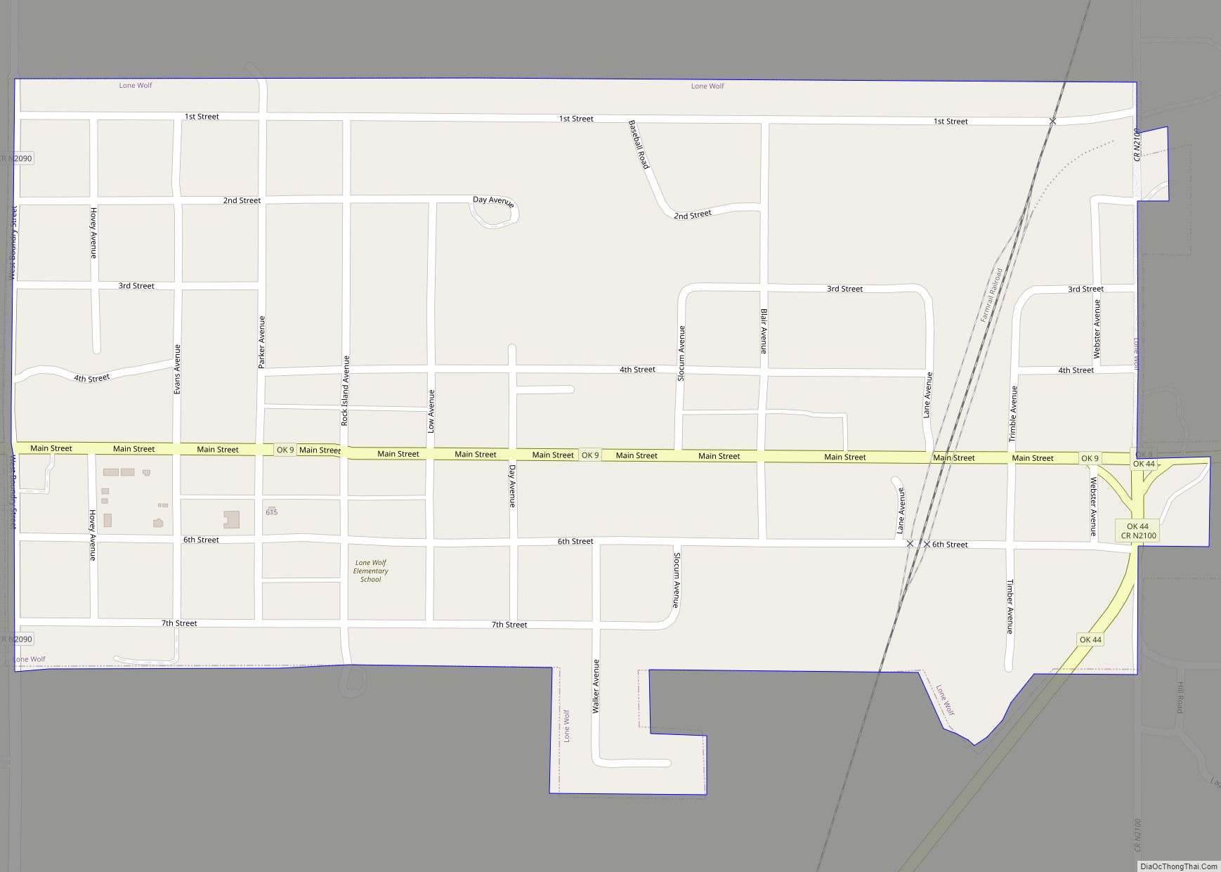
Cooperton Road Map
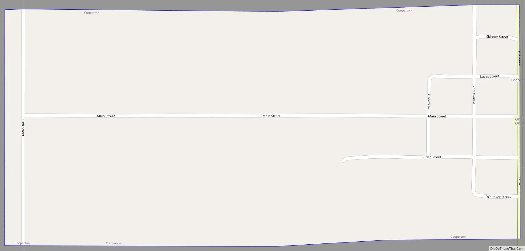
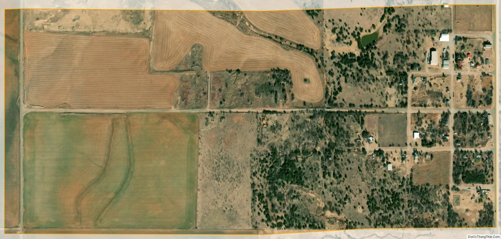
Cooperton city Satellite Map
Geography
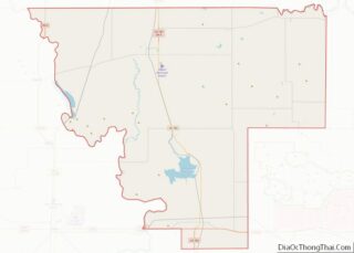
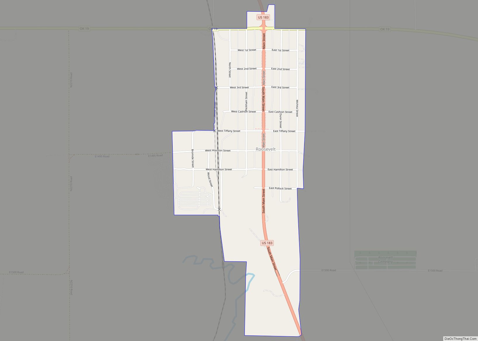
Cooperton is located at 34°51′58″N 98°52′12″W / 34.86611°N 98.87000°W / 34.86611; -98.87000 (34.866001, -98.870026). It is 14 miles (23 km) south of Gotebo and 9 miles (14 km) east of Roosevelt.
According to the United States Census Bureau, the town has a total area of 0.5 square miles (1.3 km), all land.
See also
Map of Oklahoma State and its subdivision:- Adair
- Alfalfa
- Atoka
- Beaver
- Beckham
- Blaine
- Bryan
- Caddo
- Canadian
- Carter
- Cherokee
- Choctaw
- Cimarron
- Cleveland
- Coal
- Comanche
- Cotton
- Craig
- Creek
- Custer
- Delaware
- Dewey
- Ellis
- Garfield
- Garvin
- Grady
- Grant
- Greer
- Harmon
- Harper
- Haskell
- Hughes
- Jackson
- Jefferson
- Johnston
- Kay
- Kingfisher
- Kiowa
- Latimer
- Le Flore
- Lincoln
- Logan
- Love
- Major
- Marshall
- Mayes
- McClain
- McCurtain
- McIntosh
- Murray
- Muskogee
- Noble
- Nowata
- Okfuskee
- Oklahoma
- Okmulgee
- Osage
- Ottawa
- Pawnee
- Payne
- Pittsburg
- Pontotoc
- Pottawatomie
- Pushmataha
- Roger Mills
- Rogers
- Seminole
- Sequoyah
- Stephens
- Texas
- Tillman
- Tulsa
- Wagoner
- Washington
- Washita
- Woods
- Woodward
- Alabama
- Alaska
- Arizona
- Arkansas
- California
- Colorado
- Connecticut
- Delaware
- District of Columbia
- Florida
- Georgia
- Hawaii
- Idaho
- Illinois
- Indiana
- Iowa
- Kansas
- Kentucky
- Louisiana
- Maine
- Maryland
- Massachusetts
- Michigan
- Minnesota
- Mississippi
- Missouri
- Montana
- Nebraska
- Nevada
- New Hampshire
- New Jersey
- New Mexico
- New York
- North Carolina
- North Dakota
- Ohio
- Oklahoma
- Oregon
- Pennsylvania
- Rhode Island
- South Carolina
- South Dakota
- Tennessee
- Texas
- Utah
- Vermont
- Virginia
- Washington
- West Virginia
- Wisconsin
- Wyoming