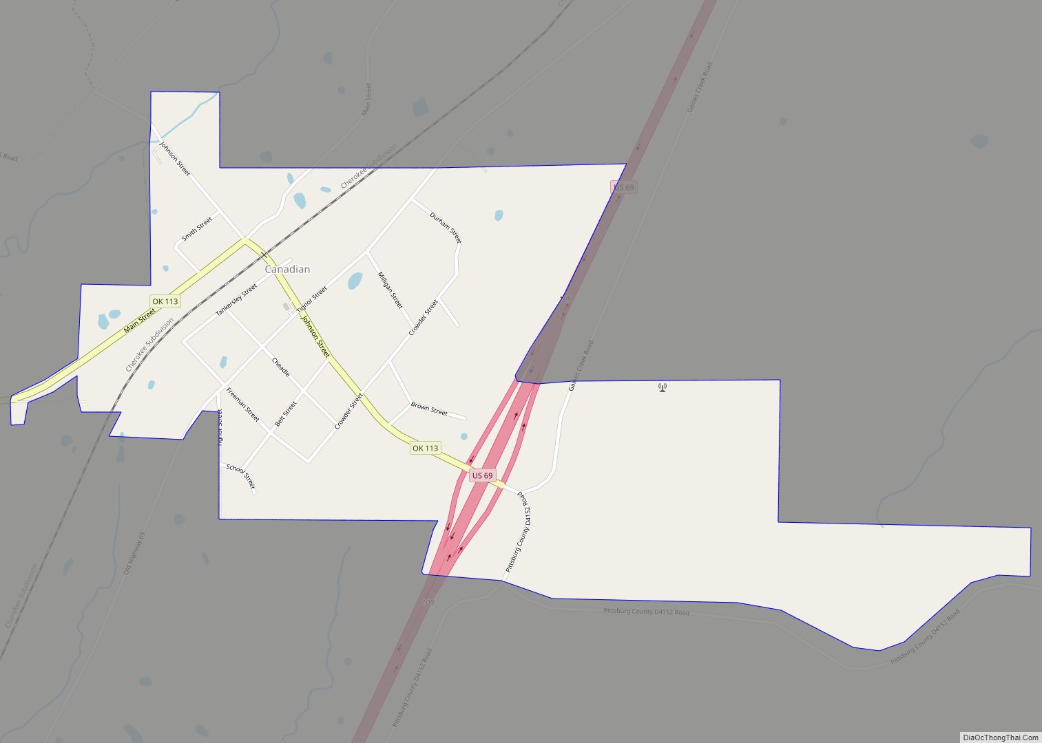
Crowder is a town in Pittsburg County, Oklahoma, United States. The population was 430 at the 2010 census.
| Name: | Crowder town |
|---|---|
| LSAD Code: | 43 |
| LSAD Description: | town (suffix) |
| State: | Oklahoma |
| County: | Pittsburg County |
| Elevation: | 623 ft (190 m) |
| Total Area: | 3.06 sq mi (7.93 km²) |
| Land Area: | 2.05 sq mi (5.31 km²) |
| Water Area: | 1.01 sq mi (2.62 km²) |
| Total Population: | 306 |
| Population Density: | 149.20/sq mi (57.61/km²) |
| ZIP code: | 74430 |
| Area code: | 539/918 |
| FIPS code: | 4018550 |
| GNISfeature ID: | 1091853 |
Online Interactive Map
Click on ![]() to view map in "full screen" mode.
to view map in "full screen" mode.
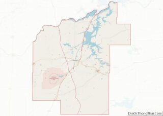
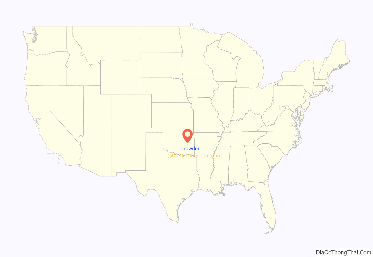
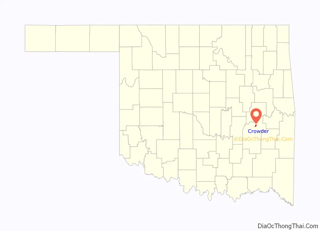
Crowder location map. Where is Crowder town?
History
At the time of its founding, Crowder was located in Tobucksy County, Choctaw Nation, in the Indian Territory. The settlement was originally called Juanita, after Juanita Harlan Crowder, wife of Dr. W.E. Crowder, an early-day physician. A post office was established at Juanita, Indian Territory on March 21, 1902. Its name was changed to Crowder on June 4, 1904, in honor of Dr. Crowder.
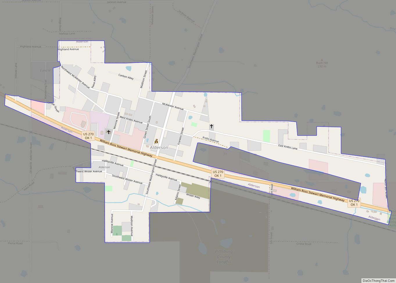
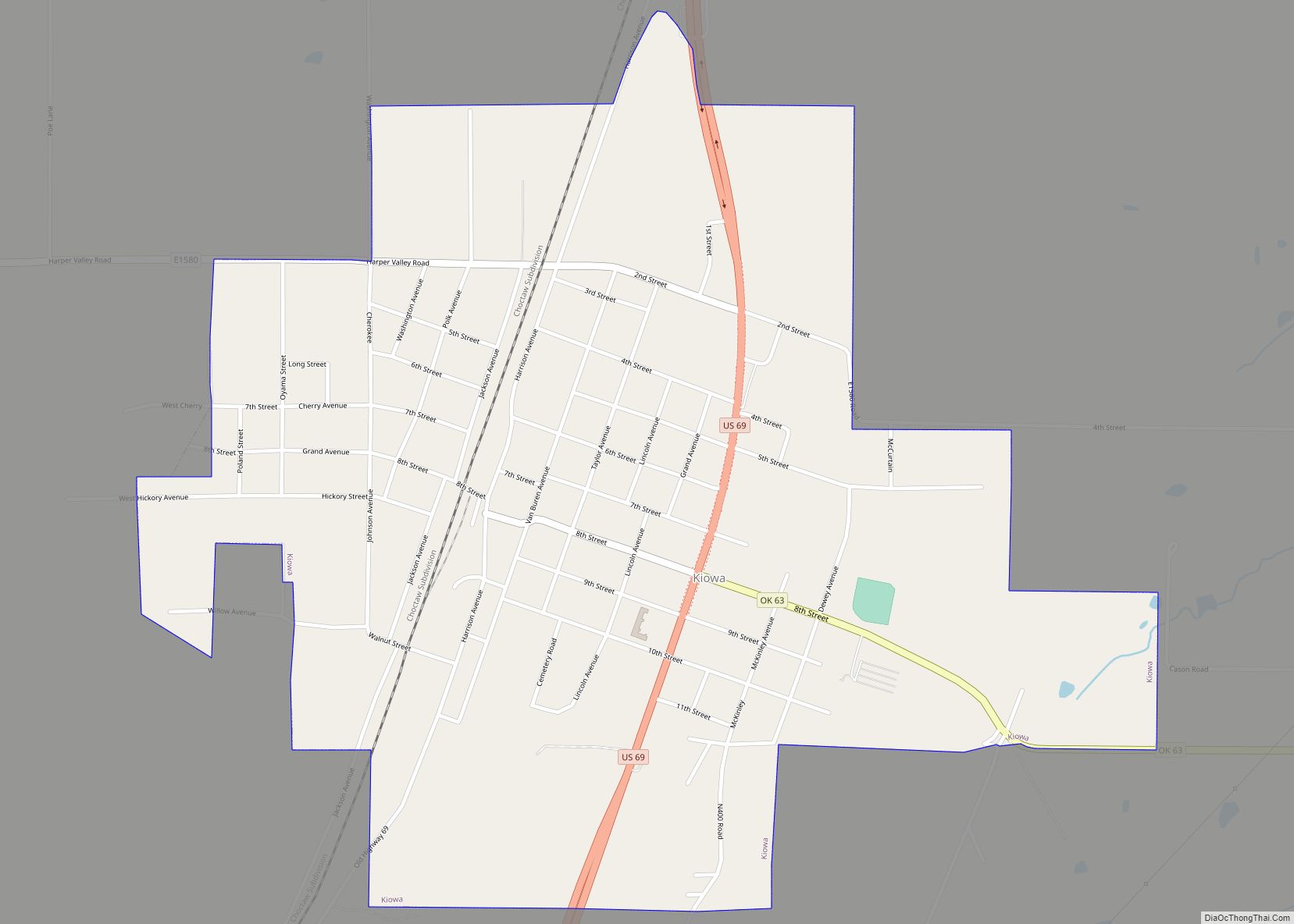
Crowder Road Map
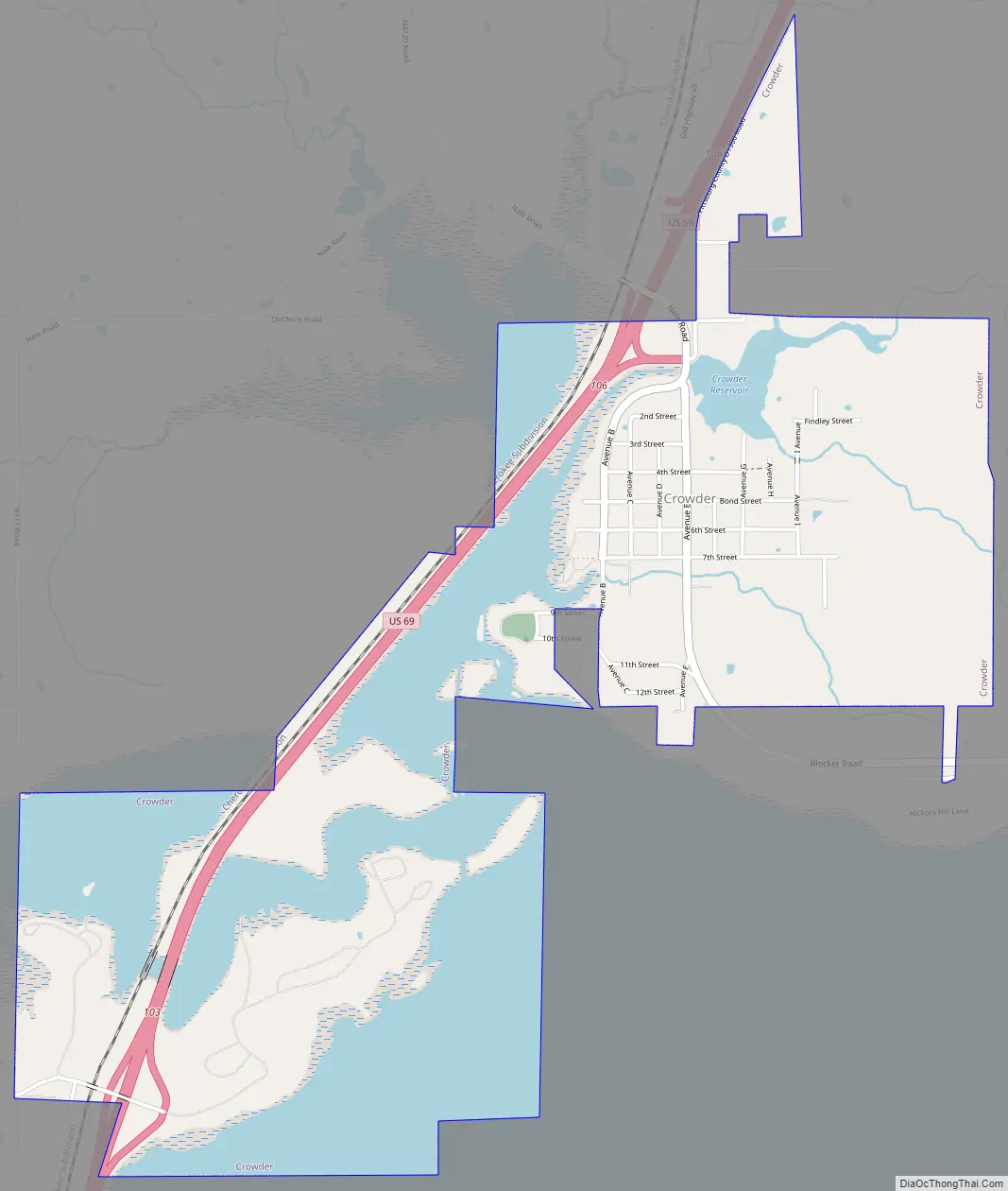
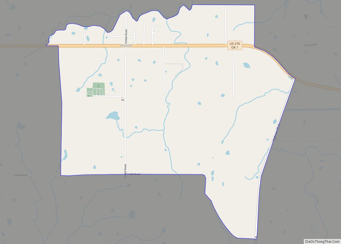
Crowder city Satellite Map
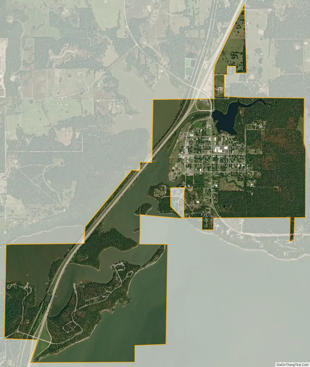
Geography
Crowder is located at 35°7′19″N 95°40′17″W / 35.12194°N 95.67139°W / 35.12194; -95.67139 (35.121927, -95.671460). According to the United States Census Bureau, the town has a total area of 1.0 square mile (2.6 km), of which 1.0 square mile (2.6 km) is land and 0.04 square miles (0.10 km) (2.97%) is water.
See also
Map of Oklahoma State and its subdivision:- Adair
- Alfalfa
- Atoka
- Beaver
- Beckham
- Blaine
- Bryan
- Caddo
- Canadian
- Carter
- Cherokee
- Choctaw
- Cimarron
- Cleveland
- Coal
- Comanche
- Cotton
- Craig
- Creek
- Custer
- Delaware
- Dewey
- Ellis
- Garfield
- Garvin
- Grady
- Grant
- Greer
- Harmon
- Harper
- Haskell
- Hughes
- Jackson
- Jefferson
- Johnston
- Kay
- Kingfisher
- Kiowa
- Latimer
- Le Flore
- Lincoln
- Logan
- Love
- Major
- Marshall
- Mayes
- McClain
- McCurtain
- McIntosh
- Murray
- Muskogee
- Noble
- Nowata
- Okfuskee
- Oklahoma
- Okmulgee
- Osage
- Ottawa
- Pawnee
- Payne
- Pittsburg
- Pontotoc
- Pottawatomie
- Pushmataha
- Roger Mills
- Rogers
- Seminole
- Sequoyah
- Stephens
- Texas
- Tillman
- Tulsa
- Wagoner
- Washington
- Washita
- Woods
- Woodward
- Alabama
- Alaska
- Arizona
- Arkansas
- California
- Colorado
- Connecticut
- Delaware
- District of Columbia
- Florida
- Georgia
- Hawaii
- Idaho
- Illinois
- Indiana
- Iowa
- Kansas
- Kentucky
- Louisiana
- Maine
- Maryland
- Massachusetts
- Michigan
- Minnesota
- Mississippi
- Missouri
- Montana
- Nebraska
- Nevada
- New Hampshire
- New Jersey
- New Mexico
- New York
- North Carolina
- North Dakota
- Ohio
- Oklahoma
- Oregon
- Pennsylvania
- Rhode Island
- South Carolina
- South Dakota
- Tennessee
- Texas
- Utah
- Vermont
- Virginia
- Washington
- West Virginia
- Wisconsin
- Wyoming