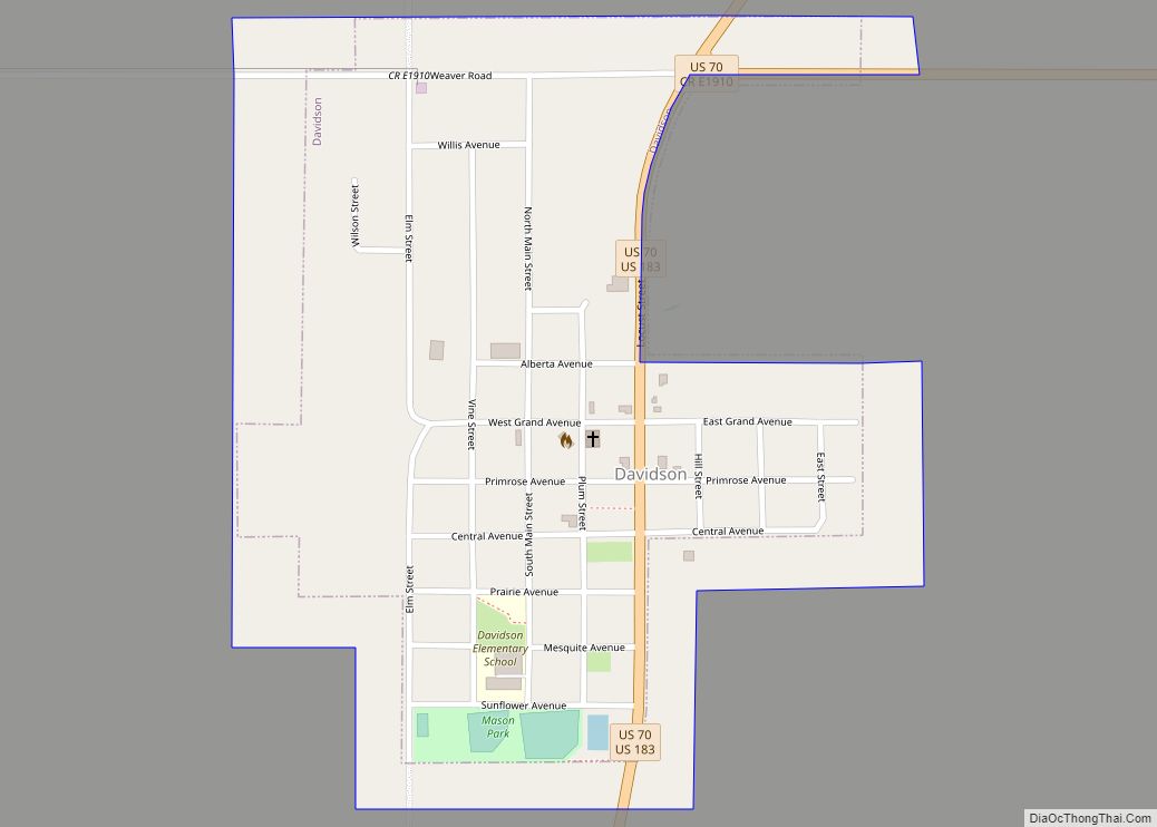
Davidson is a town in Tillman County, Oklahoma, United States. The population was 315 at the 2010 census.
| Name: | Davidson town |
|---|---|
| LSAD Code: | 43 |
| LSAD Description: | town (suffix) |
| State: | Oklahoma |
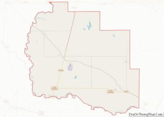
| County: | Tillman County |
| Elevation: | 1,168 ft (356 m) |
| Total Area: | 0.48 sq mi (1.25 km²) |
| Land Area: | 0.48 sq mi (1.25 km²) |
| Water Area: | 0.00 sq mi (0.00 km²) |
| Total Population: | 241 |
| Population Density: | 501.04/sq mi (193.33/km²) |
| ZIP code: | 73530 |
| Area code: | 580 |
| FIPS code: | 4019400 |
| GNISfeature ID: | 1091944 |
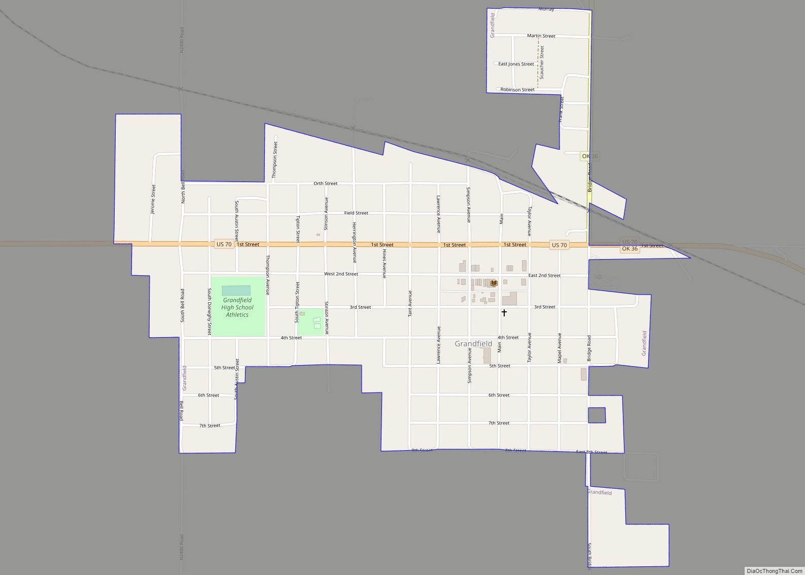
Online Interactive Map
Click on ![]() to view map in "full screen" mode.
to view map in "full screen" mode.
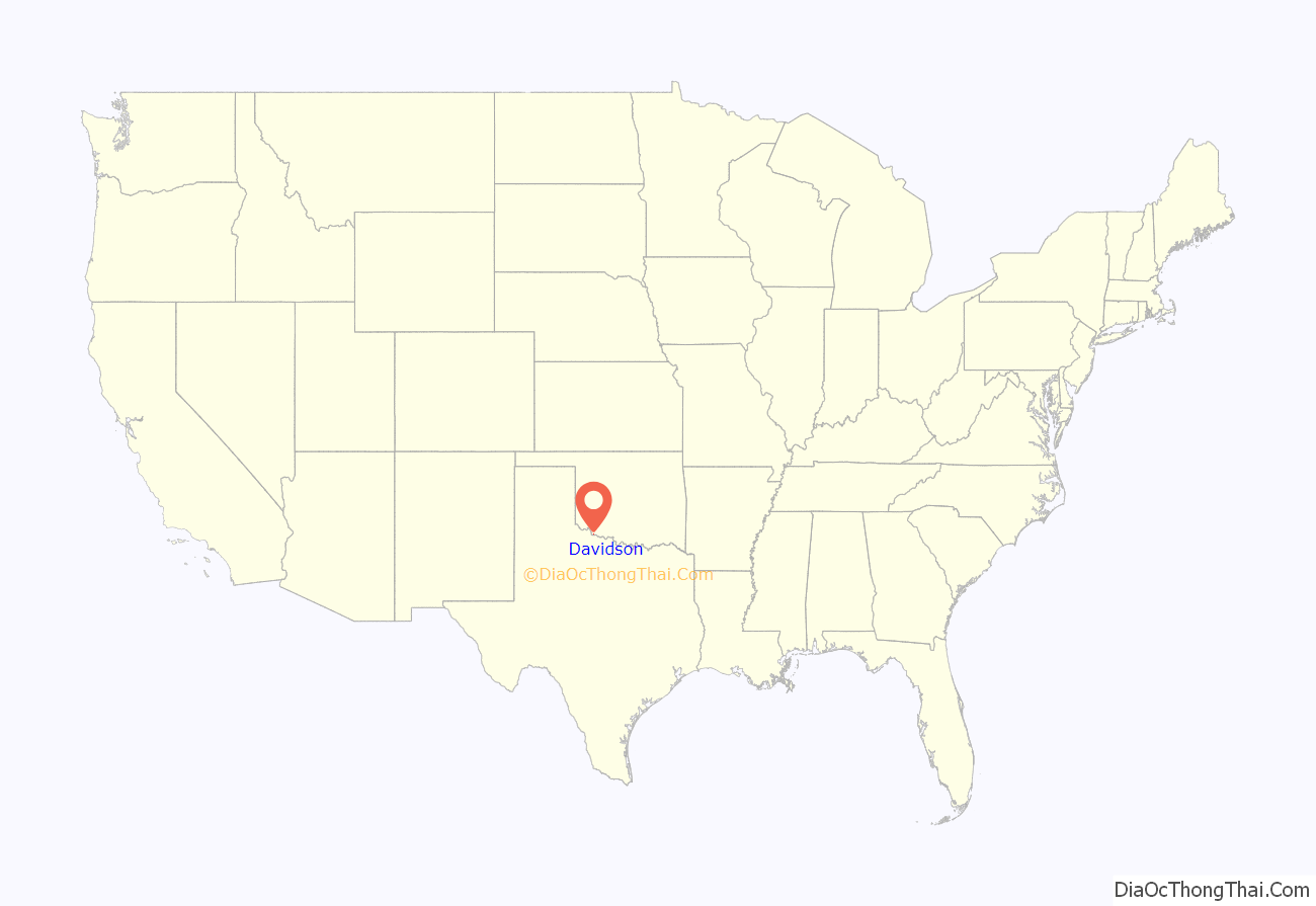
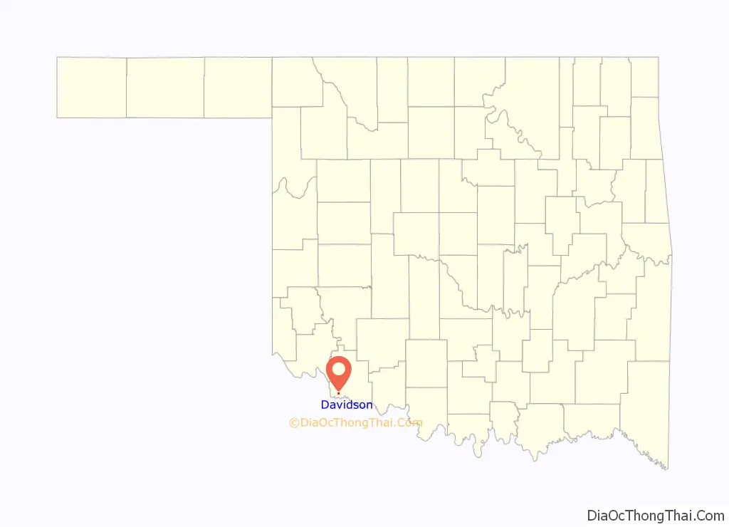
Davidson location map. Where is Davidson town?
History
This area was opened for homesteading by a lottery held in 1901, and the St. Louis and San Francisco Railway promptly built a line in from Texas. A post office called Olds was established at the location on May 21, 1902; the name was changed to Davidson on June 20, 1903, named in honor of A. J. Davidson, a railroad director. The city government was not formally organized until 1916.
Agriculture was a major employer from the start, and at one time the town had five cotton gins and three grain elevators. Over the years the town had a full range of services, including movie theaters, newspapers, saloons, livery stables, blacksmiths, cafes, bakeries, and drug stores. But through the decades the population declined and many businesses closed. Agriculture has remained as the area’s economic base, and a local cooperative operates the one remaining grain elevator.
The town experienced a minor flood in 1995.
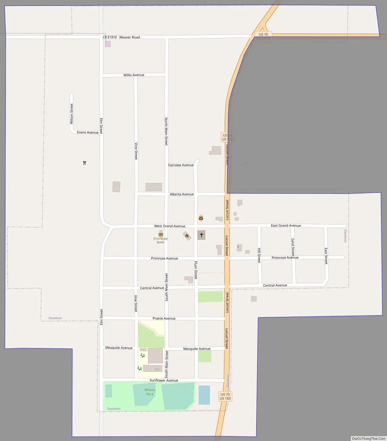
Davidson Road Map
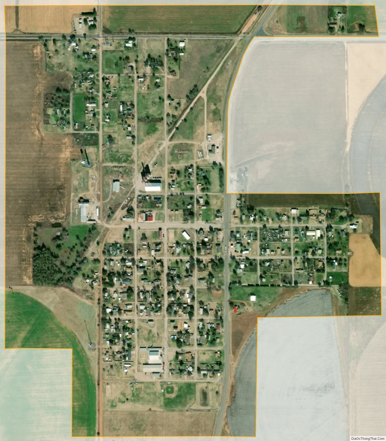
Davidson city Satellite Map
Geography
Davidson is located at 34°14′29″N 99°4′39″W / 34.24139°N 99.07750°W / 34.24139; -99.07750 (34.241275, -99.077472).
Davidson is located at the junction of U.S. routes 70 and 183 in the southwestern part of Tillman County.
According to the United States Census Bureau, the town has a total area of 0.5 square miles (1.3 km), all land.
See also
Map of Oklahoma State and its subdivision:- Adair
- Alfalfa
- Atoka
- Beaver
- Beckham
- Blaine
- Bryan
- Caddo
- Canadian
- Carter
- Cherokee
- Choctaw
- Cimarron
- Cleveland
- Coal
- Comanche
- Cotton
- Craig
- Creek
- Custer
- Delaware
- Dewey
- Ellis
- Garfield
- Garvin
- Grady
- Grant
- Greer
- Harmon
- Harper
- Haskell
- Hughes
- Jackson
- Jefferson
- Johnston
- Kay
- Kingfisher
- Kiowa
- Latimer
- Le Flore
- Lincoln
- Logan
- Love
- Major
- Marshall
- Mayes
- McClain
- McCurtain
- McIntosh
- Murray
- Muskogee
- Noble
- Nowata
- Okfuskee
- Oklahoma
- Okmulgee
- Osage
- Ottawa
- Pawnee
- Payne
- Pittsburg
- Pontotoc
- Pottawatomie
- Pushmataha
- Roger Mills
- Rogers
- Seminole
- Sequoyah
- Stephens
- Texas
- Tillman
- Tulsa
- Wagoner
- Washington
- Washita
- Woods
- Woodward
- Alabama
- Alaska
- Arizona
- Arkansas
- California
- Colorado
- Connecticut
- Delaware
- District of Columbia
- Florida
- Georgia
- Hawaii
- Idaho
- Illinois
- Indiana
- Iowa
- Kansas
- Kentucky
- Louisiana
- Maine
- Maryland
- Massachusetts
- Michigan
- Minnesota
- Mississippi
- Missouri
- Montana
- Nebraska
- Nevada
- New Hampshire
- New Jersey
- New Mexico
- New York
- North Carolina
- North Dakota
- Ohio
- Oklahoma
- Oregon
- Pennsylvania
- Rhode Island
- South Carolina
- South Dakota
- Tennessee
- Texas
- Utah
- Vermont
- Virginia
- Washington
- West Virginia
- Wisconsin
- Wyoming