Dwight Mission is a census-designated place (CDP) in Sequoyah County, Oklahoma, United States. It is part of the Fort Smith, Arkansas-Oklahoma Metropolitan Statistical Area. The population was 55 at the 2010 census, a 71.9 percent gain over the figure of 32 recorded in 2000. It is currently the home of Dwight Mission Presbyterian Camp & Retreat Center.
| Name: | Dwight Mission CDP |
|---|---|
| LSAD Code: | 57 |
| LSAD Description: | CDP (suffix) |
| State: | Oklahoma |
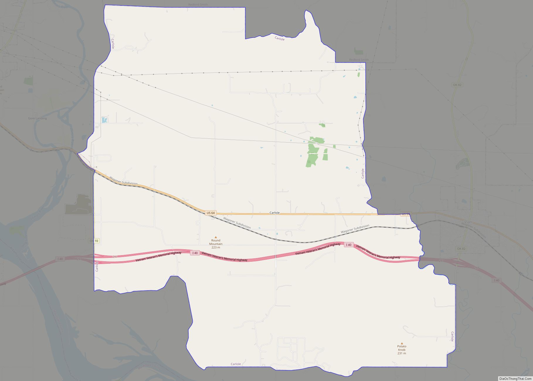
| County: | Sequoyah County |
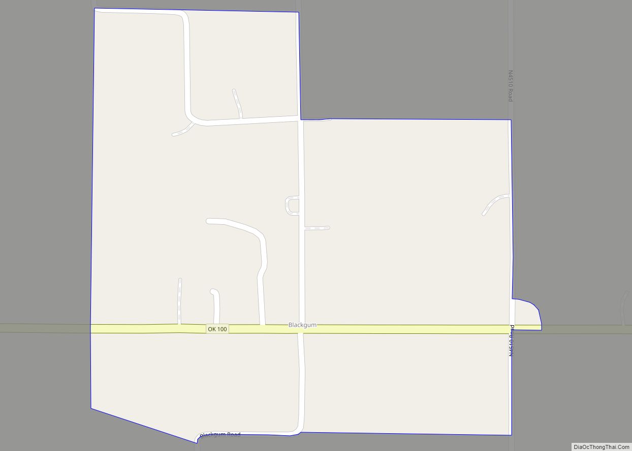
| Total Area: | 4.85 sq mi (12.56 km²) |
| Land Area: | 4.80 sq mi (12.43 km²) |
| Water Area: | 0.05 sq mi (0.14 km²) |
| Total Population: | 76 |
| Population Density: | 15.84/sq mi (6.12/km²) |
| FIPS code: | 4022275 |
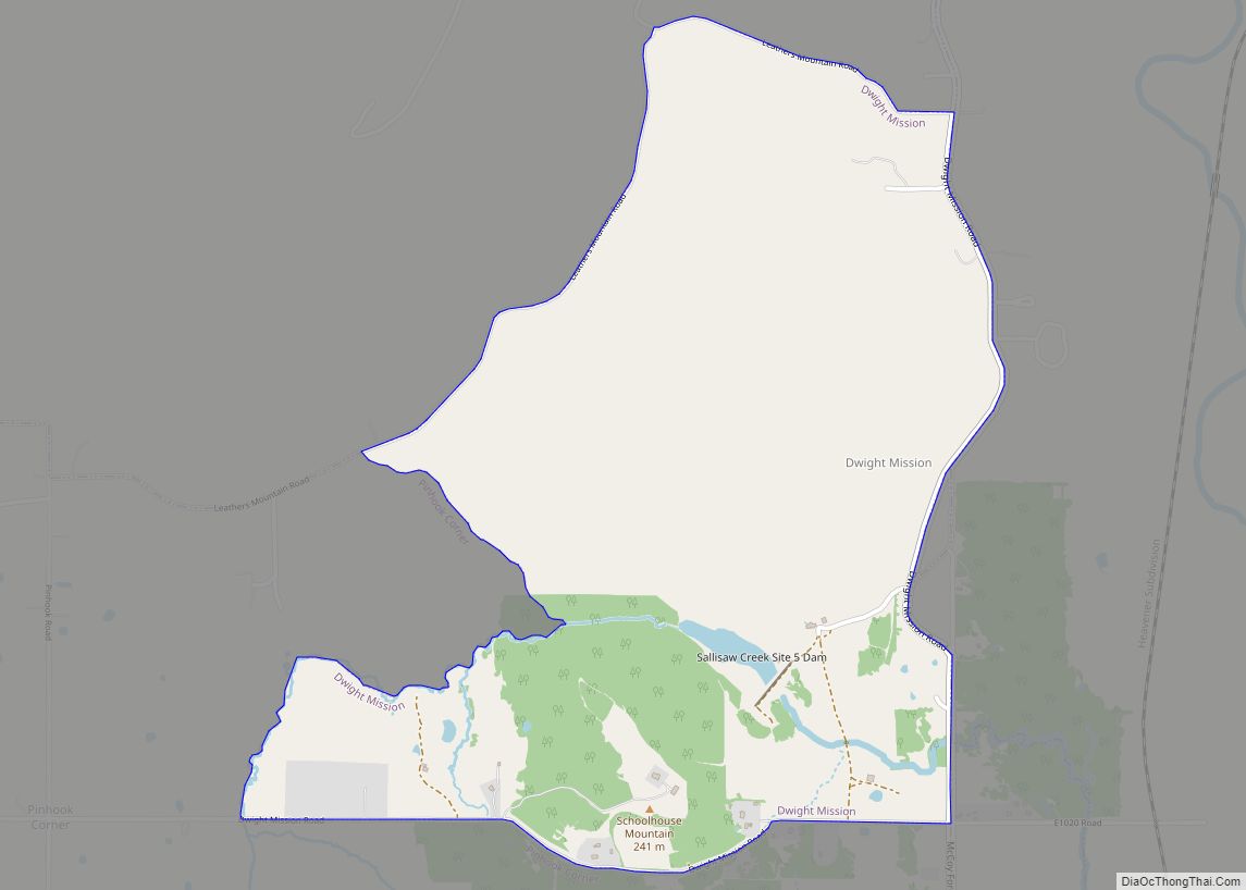
Online Interactive Map
Click on ![]() to view map in "full screen" mode.
to view map in "full screen" mode.
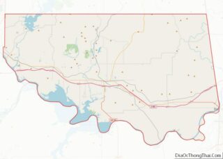
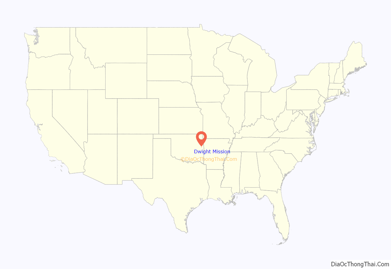
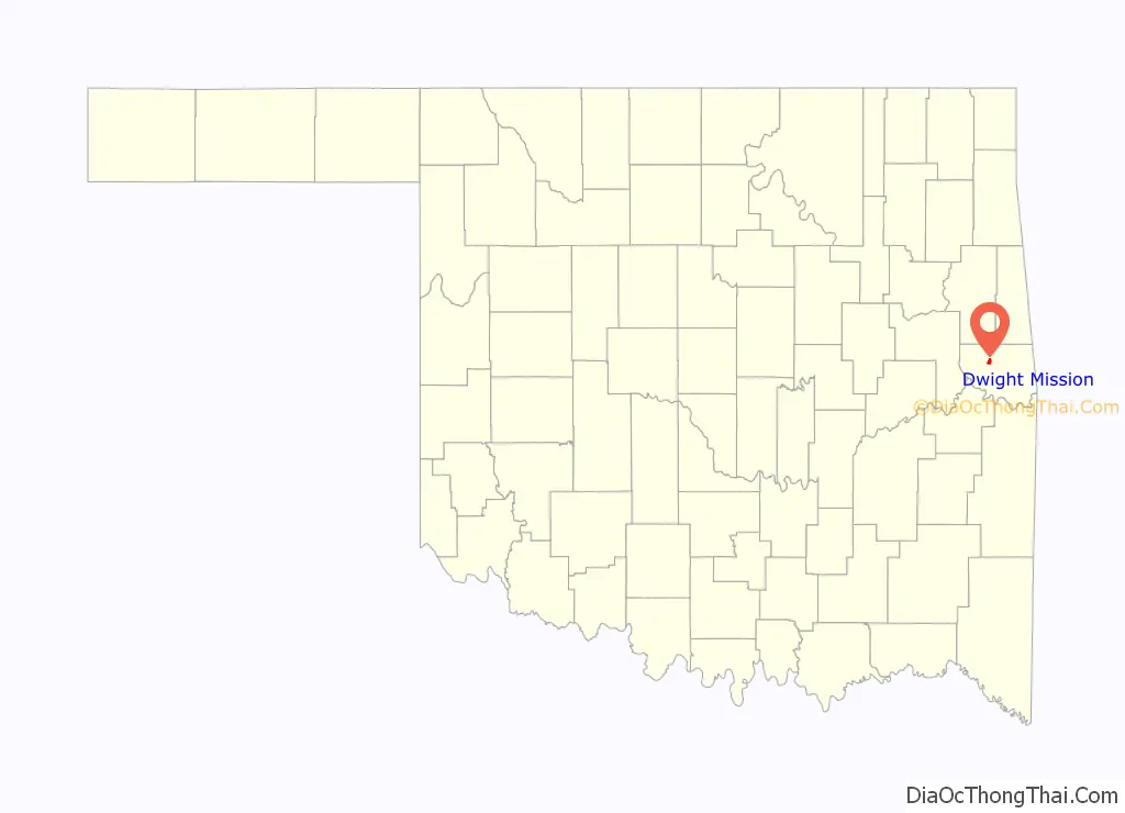
Dwight Mission location map. Where is Dwight Mission CDP?
History
(see Dwight Presbyterian Mission)
The original Dwight Mission was established in August 1820 on Illinois Bayou, near present-day Russellville, Arkansas, in the Cherokee settlements. It was named after Rev. Timothy Dwight, President of Yale University and an influential member of the American Board of Commissioners for Foreign Missions.
In 1828 the Western Cherokees were forced to move out of Arkansas into Indian Territory (present day Oklahoma). As a result of this move, Dwight Mission was reestablished on Sallisaw Creek, in Sequoyah County in the Marble City, Oklahoma area. The mission was sited about 12 miles (19 km) above the junction of Sallisaw Creek and the Arkansas River and thirty miles east of Fort Gibson.
Dwight Mission reopened in Indian Territory on Sallisaw Creek on May 1, 1830. The mission consisted of twenty-one houses, a large dining hall, a barn, and outbuildings.
A series of parochial and tribal schools existed on the site until 1948 (with the exception of the Civil War years when the site was abandoned) and 1884–1886).
In 1950, Presbyterian Church USA purchased the property. Since that time, Dwight Mission has served as a church camp and retreat center.
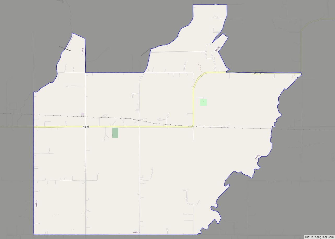
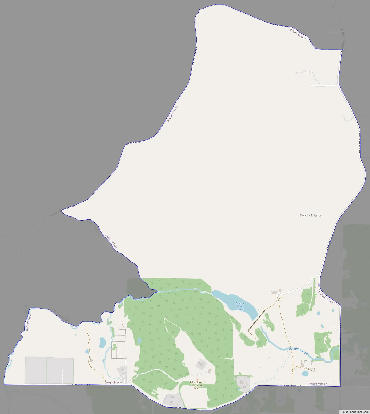
Dwight Mission Road Map
Dwight Mission city Satellite Map
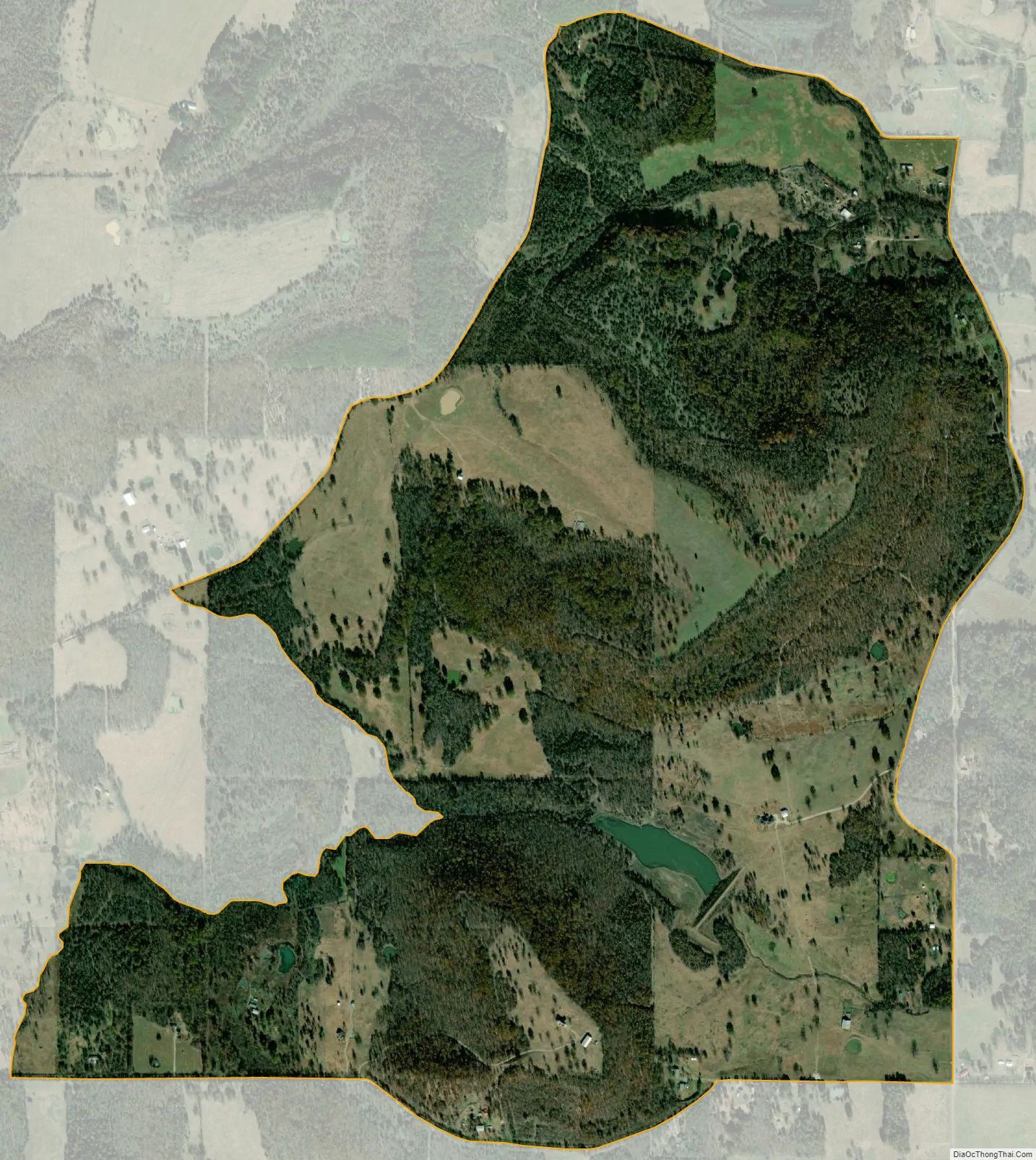
Geography
Dwight Mission is located at 35°33′26″N 94°51′1″W / 35.55722°N 94.85028°W / 35.55722; -94.85028 (35.557330, -94.850257).
According to the United States Census Bureau, the CDP has a total area of 1.8 square miles (4.7 km), of which 1.8 square miles (4.7 km) is land and 0.04 square miles (0.10 km) (1.09%) is water.
See also
Map of Oklahoma State and its subdivision:- Adair
- Alfalfa
- Atoka
- Beaver
- Beckham
- Blaine
- Bryan
- Caddo
- Canadian
- Carter
- Cherokee
- Choctaw
- Cimarron
- Cleveland
- Coal
- Comanche
- Cotton
- Craig
- Creek
- Custer
- Delaware
- Dewey
- Ellis
- Garfield
- Garvin
- Grady
- Grant
- Greer
- Harmon
- Harper
- Haskell
- Hughes
- Jackson
- Jefferson
- Johnston
- Kay
- Kingfisher
- Kiowa
- Latimer
- Le Flore
- Lincoln
- Logan
- Love
- Major
- Marshall
- Mayes
- McClain
- McCurtain
- McIntosh
- Murray
- Muskogee
- Noble
- Nowata
- Okfuskee
- Oklahoma
- Okmulgee
- Osage
- Ottawa
- Pawnee
- Payne
- Pittsburg
- Pontotoc
- Pottawatomie
- Pushmataha
- Roger Mills
- Rogers
- Seminole
- Sequoyah
- Stephens
- Texas
- Tillman
- Tulsa
- Wagoner
- Washington
- Washita
- Woods
- Woodward
- Alabama
- Alaska
- Arizona
- Arkansas
- California
- Colorado
- Connecticut
- Delaware
- District of Columbia
- Florida
- Georgia
- Hawaii
- Idaho
- Illinois
- Indiana
- Iowa
- Kansas
- Kentucky
- Louisiana
- Maine
- Maryland
- Massachusetts
- Michigan
- Minnesota
- Mississippi
- Missouri
- Montana
- Nebraska
- Nevada
- New Hampshire
- New Jersey
- New Mexico
- New York
- North Carolina
- North Dakota
- Ohio
- Oklahoma
- Oregon
- Pennsylvania
- Rhode Island
- South Carolina
- South Dakota
- Tennessee
- Texas
- Utah
- Vermont
- Virginia
- Washington
- West Virginia
- Wisconsin
- Wyoming