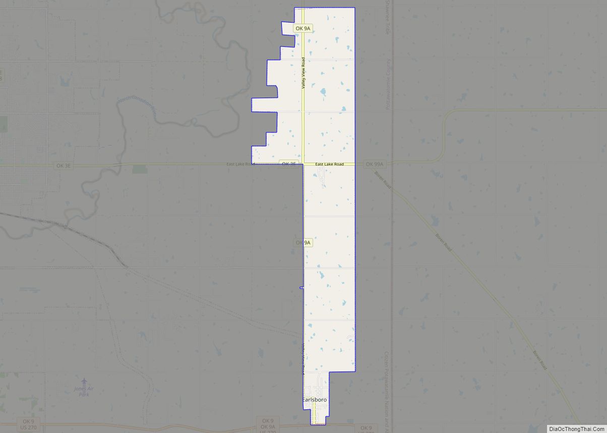
Earlsboro is a town in Pottawatomie County, Oklahoma, United States. The population was 628 at the 2010 census, a decline of 0.8 percent from the figure of 633 in 2000. It was once called “…the town that whisky built and oil broke.”
| Name: | Earlsboro town |
|---|---|
| LSAD Code: | 43 |
| LSAD Description: | town (suffix) |
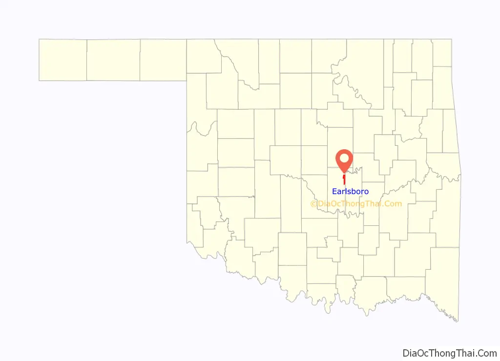
| State: | Oklahoma |
| County: | Pottawatomie County |
| Elevation: | 1,024 ft (312 m) |
| Total Area: | 9.31 sq mi (24.11 km²) |
| Land Area: | 9.29 sq mi (24.07 km²) |
| Water Area: | 0.02 sq mi (0.04 km²) |
| Total Population: | 594 |
| Population Density: | 63.92/sq mi (24.68/km²) |
| ZIP code: | 74840 |
| Area code: | 405 |
| FIPS code: | 4022500 |
| GNISfeature ID: | 1092345 |
Online Interactive Map
Click on ![]() to view map in "full screen" mode.
to view map in "full screen" mode.
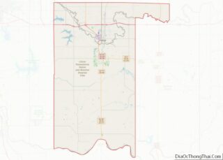
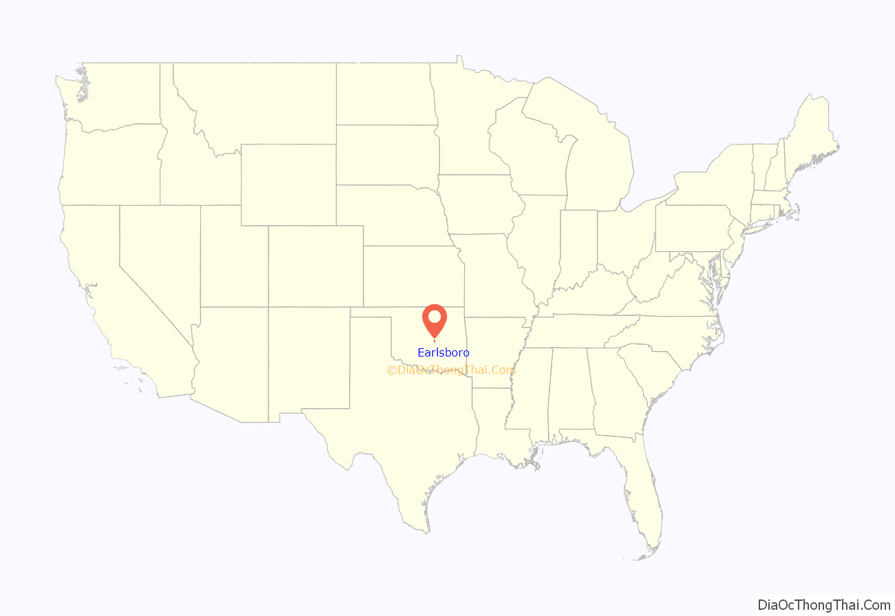
Earlsboro location map. Where is Earlsboro town?
History
The town of Earlsborough (as it was spelled on the town plat) began in 1891, when the Choctaw Coal and Railway (later the Choctaw, Oklahoma and Gulf Railroad) built a line west from the Seminole Nation into Oklahoma Territory. The town was located one-half mile inside Oklahoma Territory. It was named for James Earls, a local African American who had served as an orderly for Confederate General Joseph Wheeler during the Civil War. The spelling of the town name changed when the Earlsboro post office opened on June 12, 1895.
The town had an economic boom from the outset because Indian Territory was legally “dry,” but Oklahoma Territory was not. The first three businesses were saloons, and it was said that 90 percent of the merchants were engaged in liquor sales. By 1905, the town had a population estimated at 500. Many customers were visitors from Indian Territory.
Statehood brought prohibition to all of Oklahoma, and the population of Earlsboro quickly dropped to 387. The local economy subsequently relied on agriculture instead of liquor. Oil was struck nearby on March 1, 1926. The first well produced 200 barrels a day. News of the strike attracted workers, and the town population increased to an estimated ten thousand people within two months. The ensuing boom led to construction of a one hundred thousand dollar hotel, a large theater, and many different kinds of business. In 1929, the town passed a $225,000 bond issue to construct a water and sewer system. The population was officially 1,950 at the 1930 census.
The oil boom turned into a bust when production declined precipitously in 1932. The newcomers, now deeply in debt, fled the scene, abandoning homes and businesses. The city went into bankruptcy, since it could no longer pay its debts. In 1959 the Daily Oklahoman reported that Earlsboro “was the town that whisky built and oil broke.” The population continued to decline until the end of the 20th Century.
On May 4, 2022, an EF2 tornado struck the southeastern part of town before looping around and striking the eastern half of the town, damaging homes, power lines, and buildings. An additional EF1 tornado began near the starting point of the first tornado, causing additional damage as it moved east.
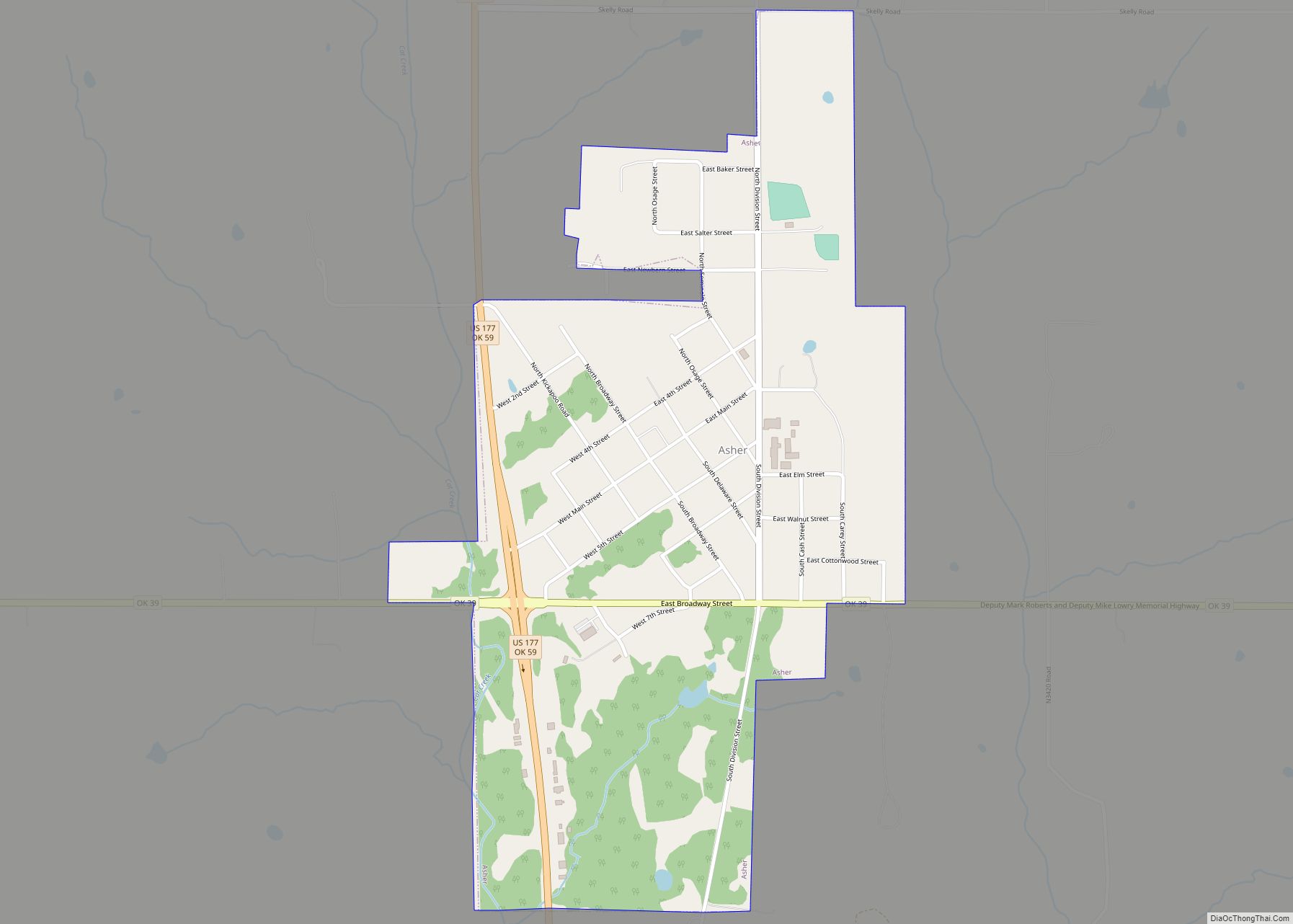
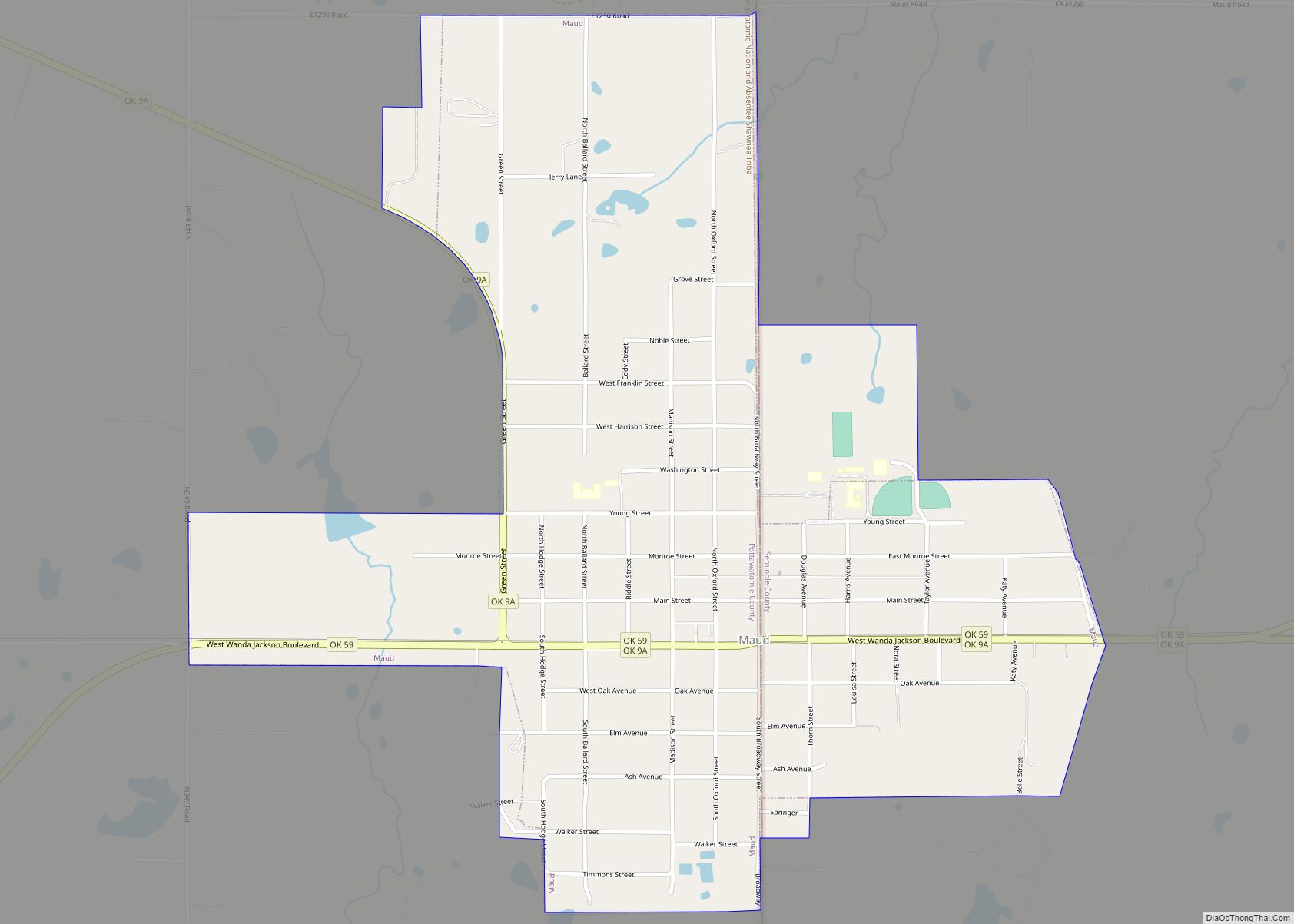
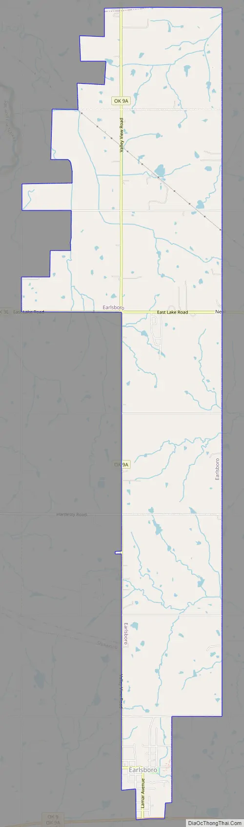
Earlsboro Road Map
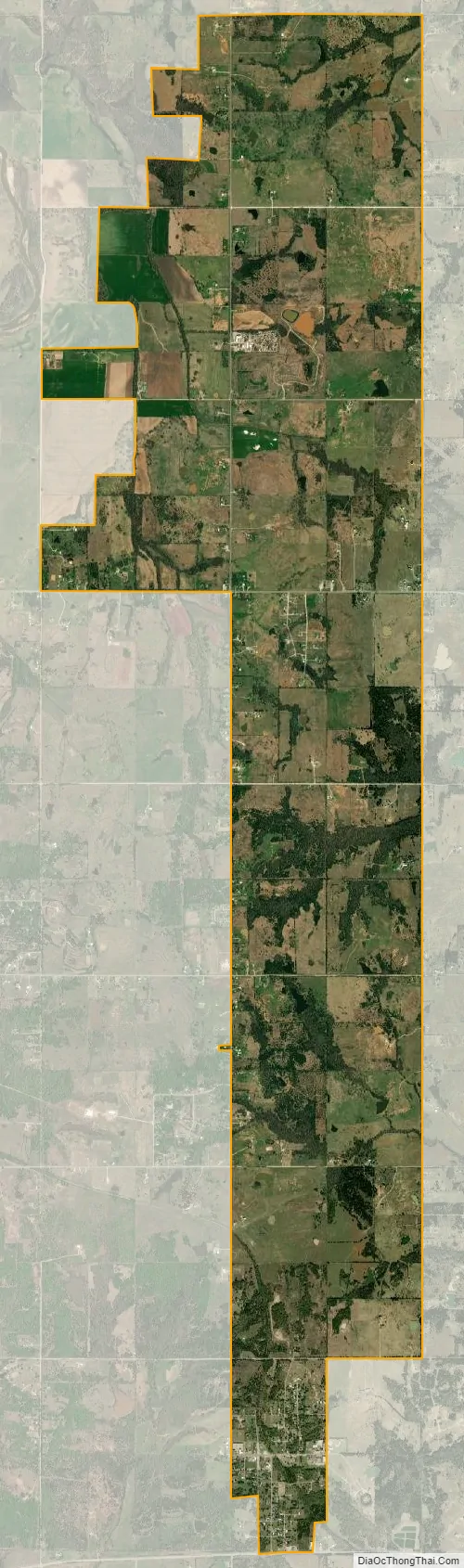
Earlsboro city Satellite Map
Geography
Earlsboro is located at 35°17′49″N 96°47′54″W / 35.29694°N 96.79833°W / 35.29694; -96.79833 (35.296927, -96.798305).
According to the United States Census Bureau, the town has a total area of 9.2 square miles (24 km), of which 9.2 square miles (24 km) is land and 0.04 square miles (0.10 km) (0.22%) is water.
See also
Map of Oklahoma State and its subdivision:- Adair
- Alfalfa
- Atoka
- Beaver
- Beckham
- Blaine
- Bryan
- Caddo
- Canadian
- Carter
- Cherokee
- Choctaw
- Cimarron
- Cleveland
- Coal
- Comanche
- Cotton
- Craig
- Creek
- Custer
- Delaware
- Dewey
- Ellis
- Garfield
- Garvin
- Grady
- Grant
- Greer
- Harmon
- Harper
- Haskell
- Hughes
- Jackson
- Jefferson
- Johnston
- Kay
- Kingfisher
- Kiowa
- Latimer
- Le Flore
- Lincoln
- Logan
- Love
- Major
- Marshall
- Mayes
- McClain
- McCurtain
- McIntosh
- Murray
- Muskogee
- Noble
- Nowata
- Okfuskee
- Oklahoma
- Okmulgee
- Osage
- Ottawa
- Pawnee
- Payne
- Pittsburg
- Pontotoc
- Pottawatomie
- Pushmataha
- Roger Mills
- Rogers
- Seminole
- Sequoyah
- Stephens
- Texas
- Tillman
- Tulsa
- Wagoner
- Washington
- Washita
- Woods
- Woodward
- Alabama
- Alaska
- Arizona
- Arkansas
- California
- Colorado
- Connecticut
- Delaware
- District of Columbia
- Florida
- Georgia
- Hawaii
- Idaho
- Illinois
- Indiana
- Iowa
- Kansas
- Kentucky
- Louisiana
- Maine
- Maryland
- Massachusetts
- Michigan
- Minnesota
- Mississippi
- Missouri
- Montana
- Nebraska
- Nevada
- New Hampshire
- New Jersey
- New Mexico
- New York
- North Carolina
- North Dakota
- Ohio
- Oklahoma
- Oregon
- Pennsylvania
- Rhode Island
- South Carolina
- South Dakota
- Tennessee
- Texas
- Utah
- Vermont
- Virginia
- Washington
- West Virginia
- Wisconsin
- Wyoming