Empire City, or simply Empire, is a town in Stephens County, Oklahoma, United States. The population was 955 at the 2010 census.
| Name: | Empire City town |
|---|---|
| LSAD Code: | 43 |
| LSAD Description: | town (suffix) |
| State: | Oklahoma |
| County: | Stephens County |
| Elevation: | 1,066 ft (325 m) |
| Total Area: | 9.49 sq mi (24.57 km²) |
| Land Area: | 9.32 sq mi (24.13 km²) |
| Water Area: | 0.17 sq mi (0.44 km²) |
| Total Population: | 703 |
| Population Density: | 75.46/sq mi (29.14/km²) |
| FIPS code: | 4023900 |
| GNISfeature ID: | 1100390 |
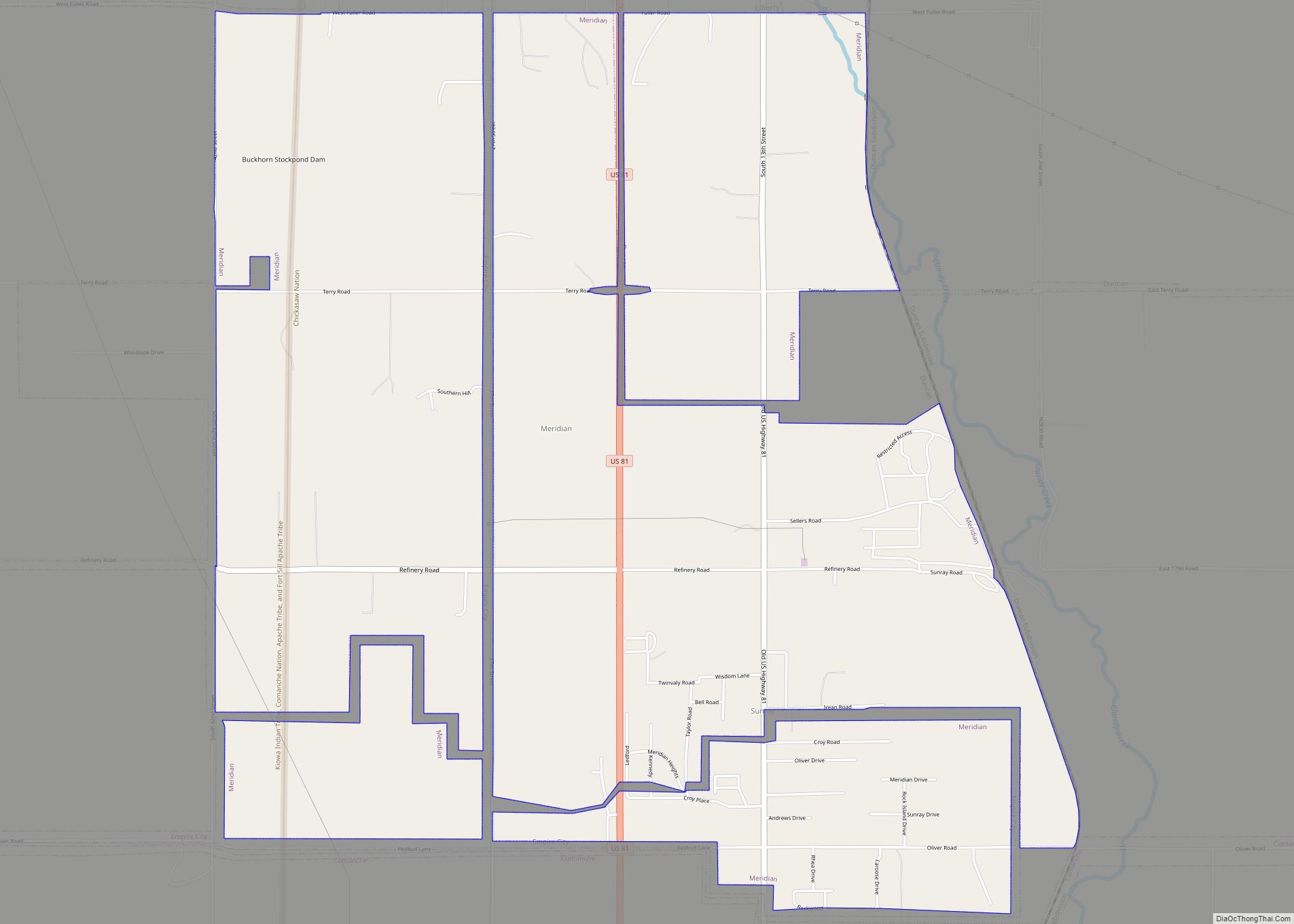
Online Interactive Map
Click on ![]() to view map in "full screen" mode.
to view map in "full screen" mode.
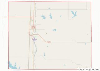
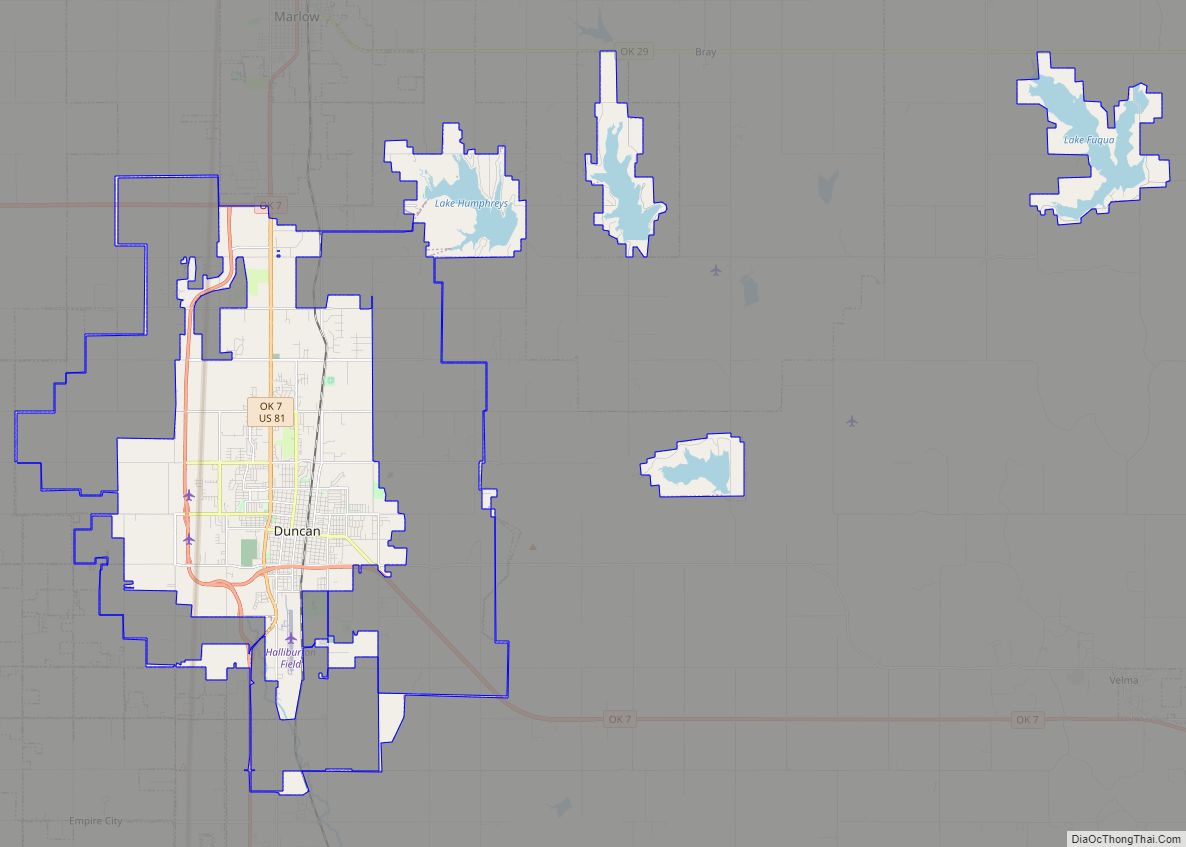
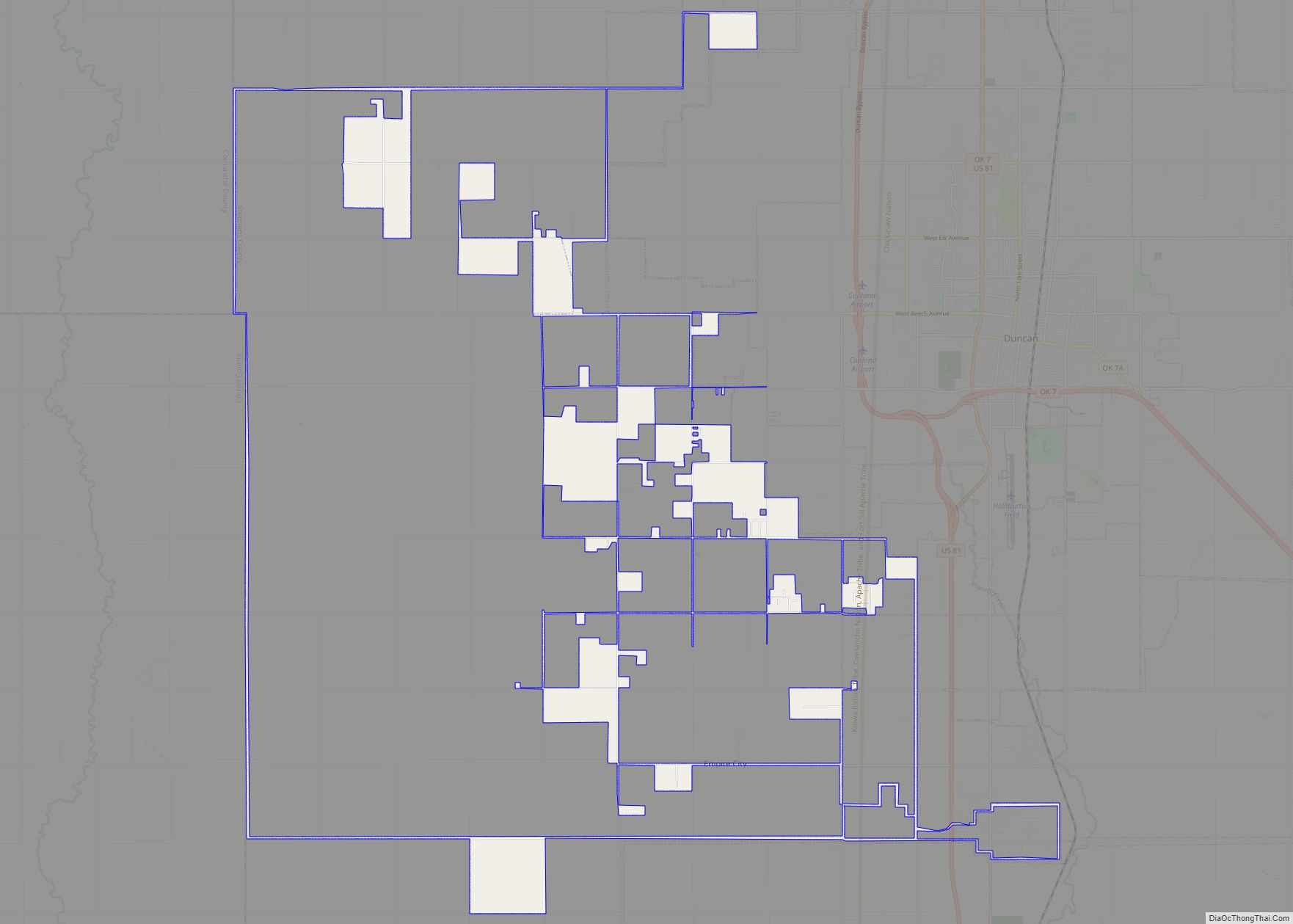
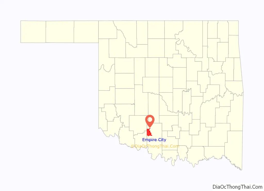
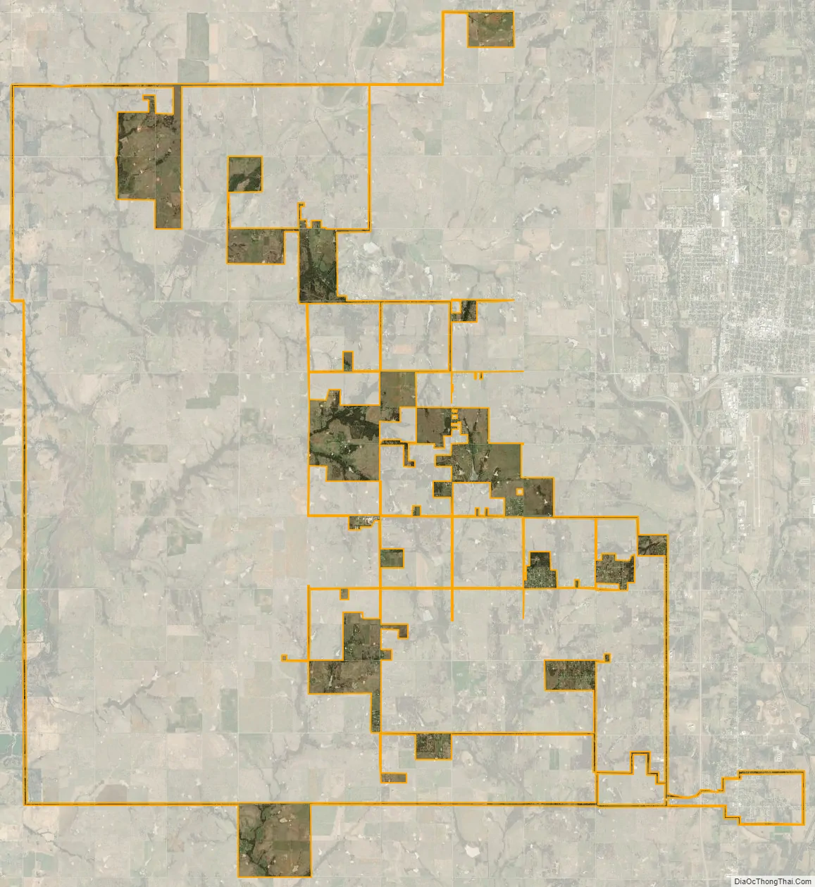
Empire City location map. Where is Empire City town?

History
A classic oil-boom town, Empire City started in the late 1910s as drilling activity in Stephens County mushroomed. At its peak, its estimated population was about 3000. The original post office was established in February 1921 and discontinued in December 1934. With the boom long gone, the population by 1980 dwindled to just 13 persons. But the town started a rebound in the mid-1980’s. While no post office has been reestablished, the 2010 census counted 955 inhabitants.
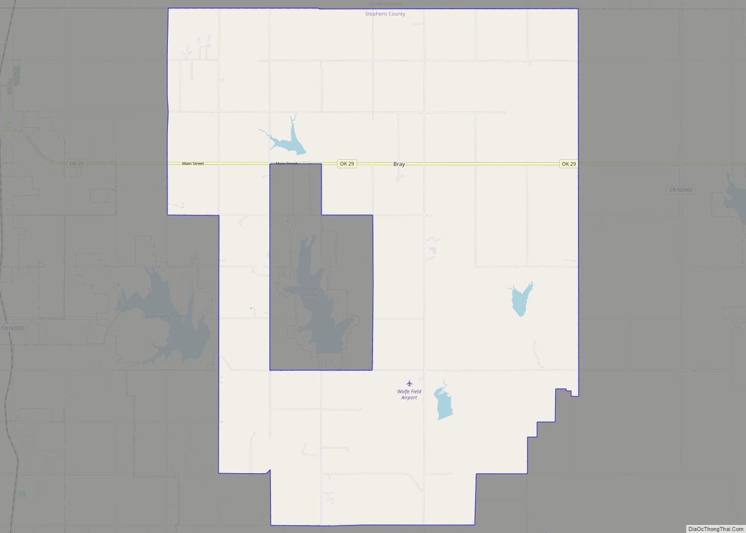
Empire City Road Map
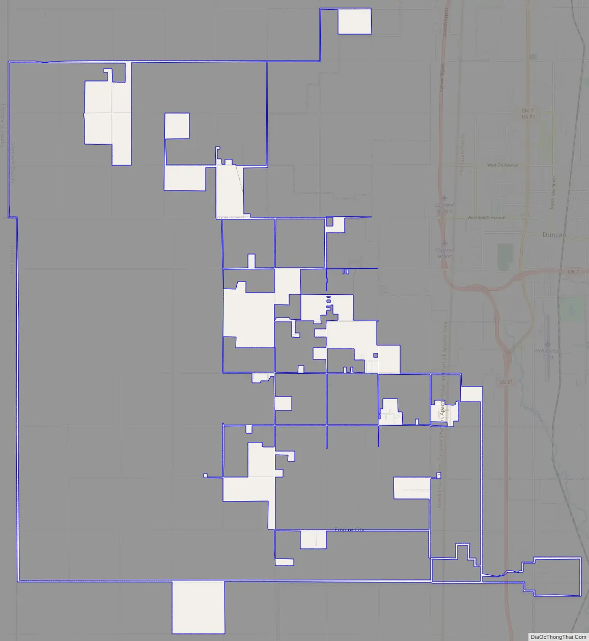
Empire City city Satellite Map
Geography
Empire City is located at 34°27′50″N 98°2′17″W / 34.46389°N 98.03806°W / 34.46389; -98.03806 (34.463922, -98.038008).
According to the United States Census Bureau, the town has a total area of 10.9 square miles (28 km), of which 10.8 square miles (28 km) is land and 0.04 square miles (0.10 km) (0.37%) is water.
See also
Map of Oklahoma State and its subdivision:- Adair
- Alfalfa
- Atoka
- Beaver
- Beckham
- Blaine
- Bryan
- Caddo
- Canadian
- Carter
- Cherokee
- Choctaw
- Cimarron
- Cleveland
- Coal
- Comanche
- Cotton
- Craig
- Creek
- Custer
- Delaware
- Dewey
- Ellis
- Garfield
- Garvin
- Grady
- Grant
- Greer
- Harmon
- Harper
- Haskell
- Hughes
- Jackson
- Jefferson
- Johnston
- Kay
- Kingfisher
- Kiowa
- Latimer
- Le Flore
- Lincoln
- Logan
- Love
- Major
- Marshall
- Mayes
- McClain
- McCurtain
- McIntosh
- Murray
- Muskogee
- Noble
- Nowata
- Okfuskee
- Oklahoma
- Okmulgee
- Osage
- Ottawa
- Pawnee
- Payne
- Pittsburg
- Pontotoc
- Pottawatomie
- Pushmataha
- Roger Mills
- Rogers
- Seminole
- Sequoyah
- Stephens
- Texas
- Tillman
- Tulsa
- Wagoner
- Washington
- Washita
- Woods
- Woodward
- Alabama
- Alaska
- Arizona
- Arkansas
- California
- Colorado
- Connecticut
- Delaware
- District of Columbia
- Florida
- Georgia
- Hawaii
- Idaho
- Illinois
- Indiana
- Iowa
- Kansas
- Kentucky
- Louisiana
- Maine
- Maryland
- Massachusetts
- Michigan
- Minnesota
- Mississippi
- Missouri
- Montana
- Nebraska
- Nevada
- New Hampshire
- New Jersey
- New Mexico
- New York
- North Carolina
- North Dakota
- Ohio
- Oklahoma
- Oregon
- Pennsylvania
- Rhode Island
- South Carolina
- South Dakota
- Tennessee
- Texas
- Utah
- Vermont
- Virginia
- Washington
- West Virginia
- Wisconsin
- Wyoming