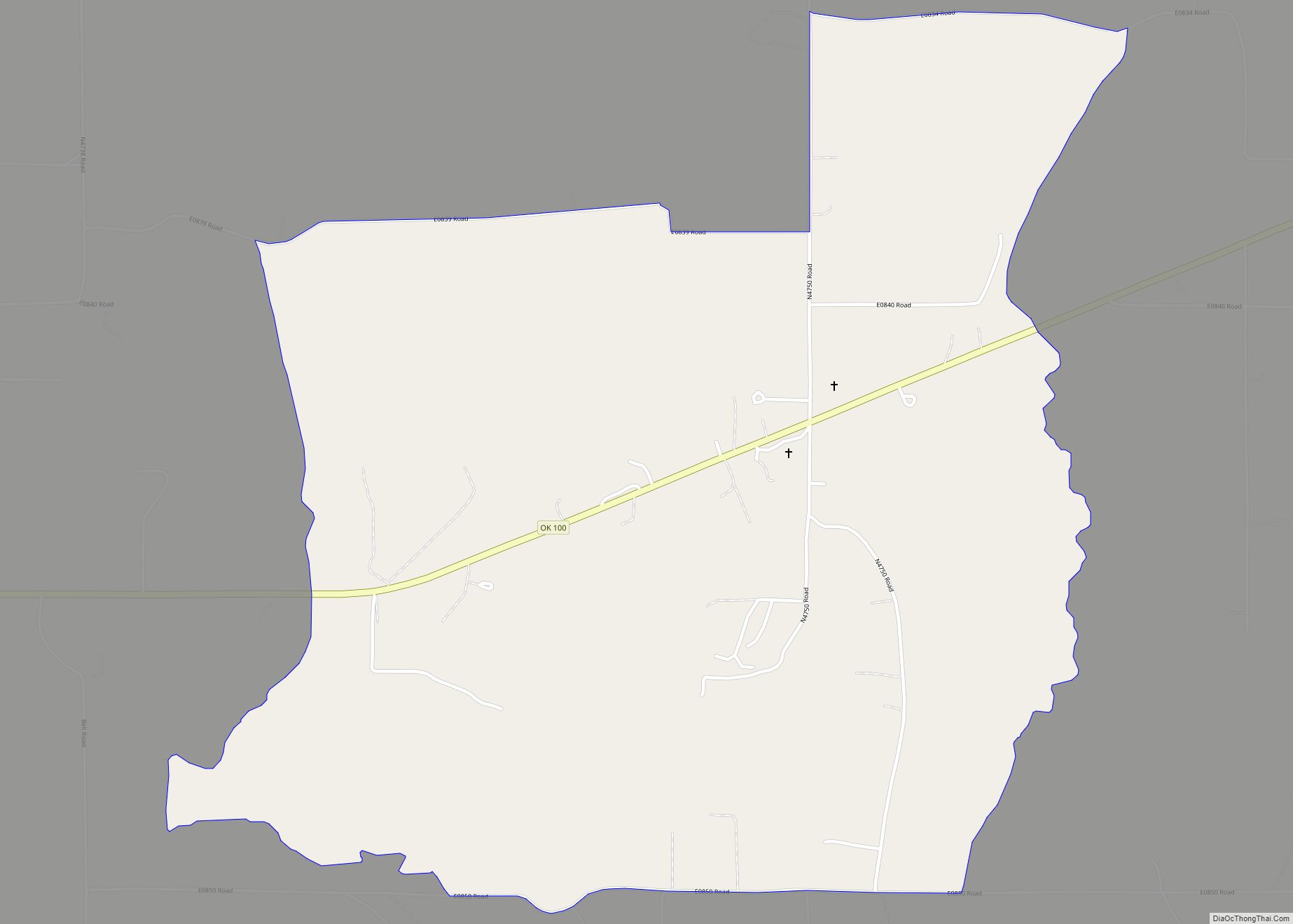
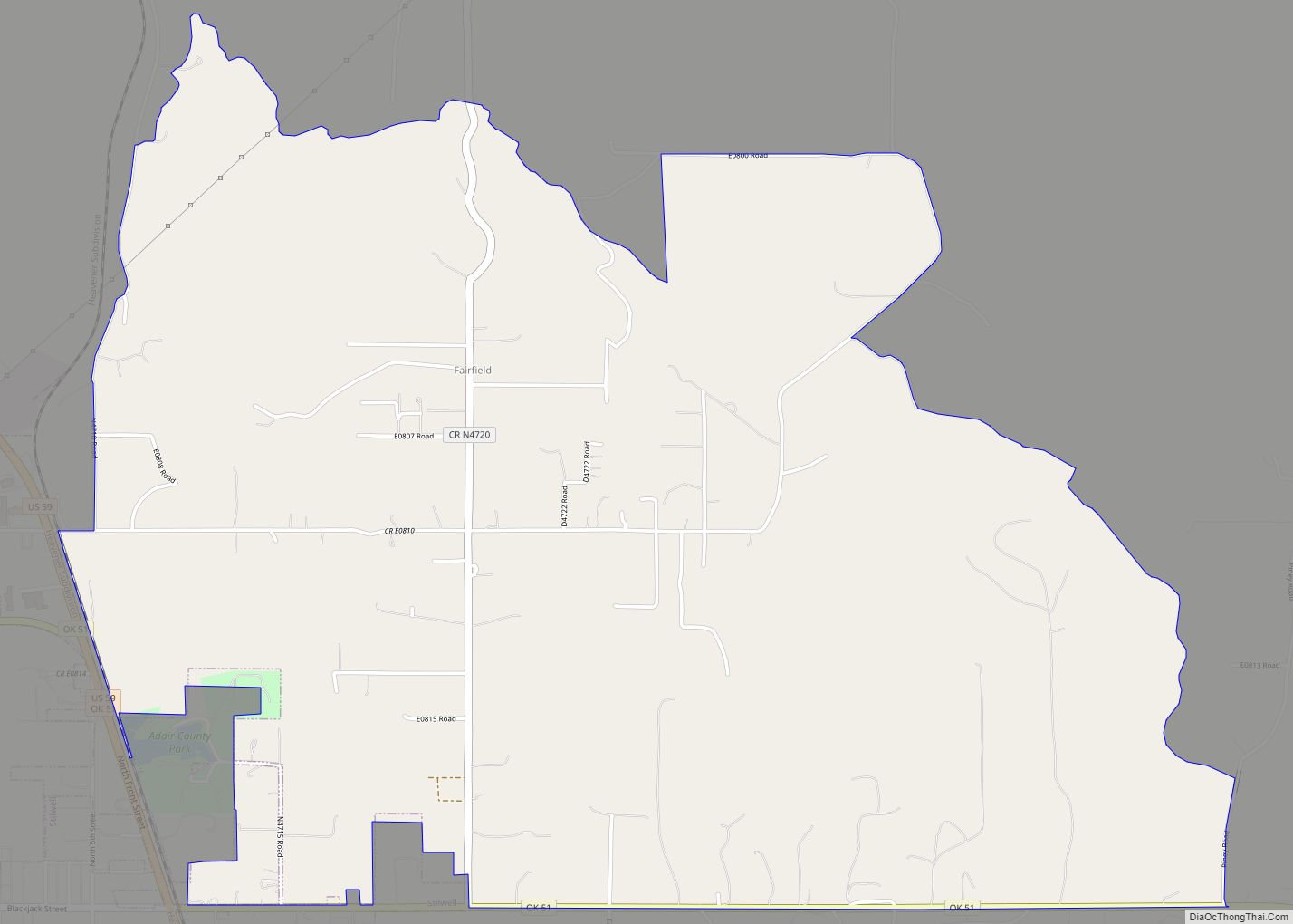
Fairfield is a census-designated place (CDP) in Adair County, Oklahoma, United States. The population was 584 at the 2010 census.
| Name: | Fairfield CDP |
|---|---|
| LSAD Code: | 57 |
| LSAD Description: | CDP (suffix) |
| State: | Oklahoma |
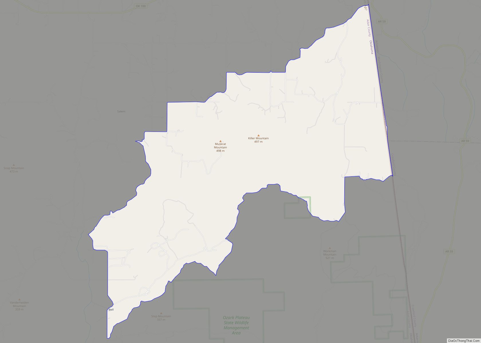
| County: | Adair County |
| Total Area: | 4.98 sq mi (12.89 km²) |
| Land Area: | 4.96 sq mi (12.85 km²) |
| Water Area: | 0.01 sq mi (0.04 km²) |
| Total Population: | 626 |
| Population Density: | 126.18/sq mi (48.72/km²) |
| FIPS code: | 4024875 |
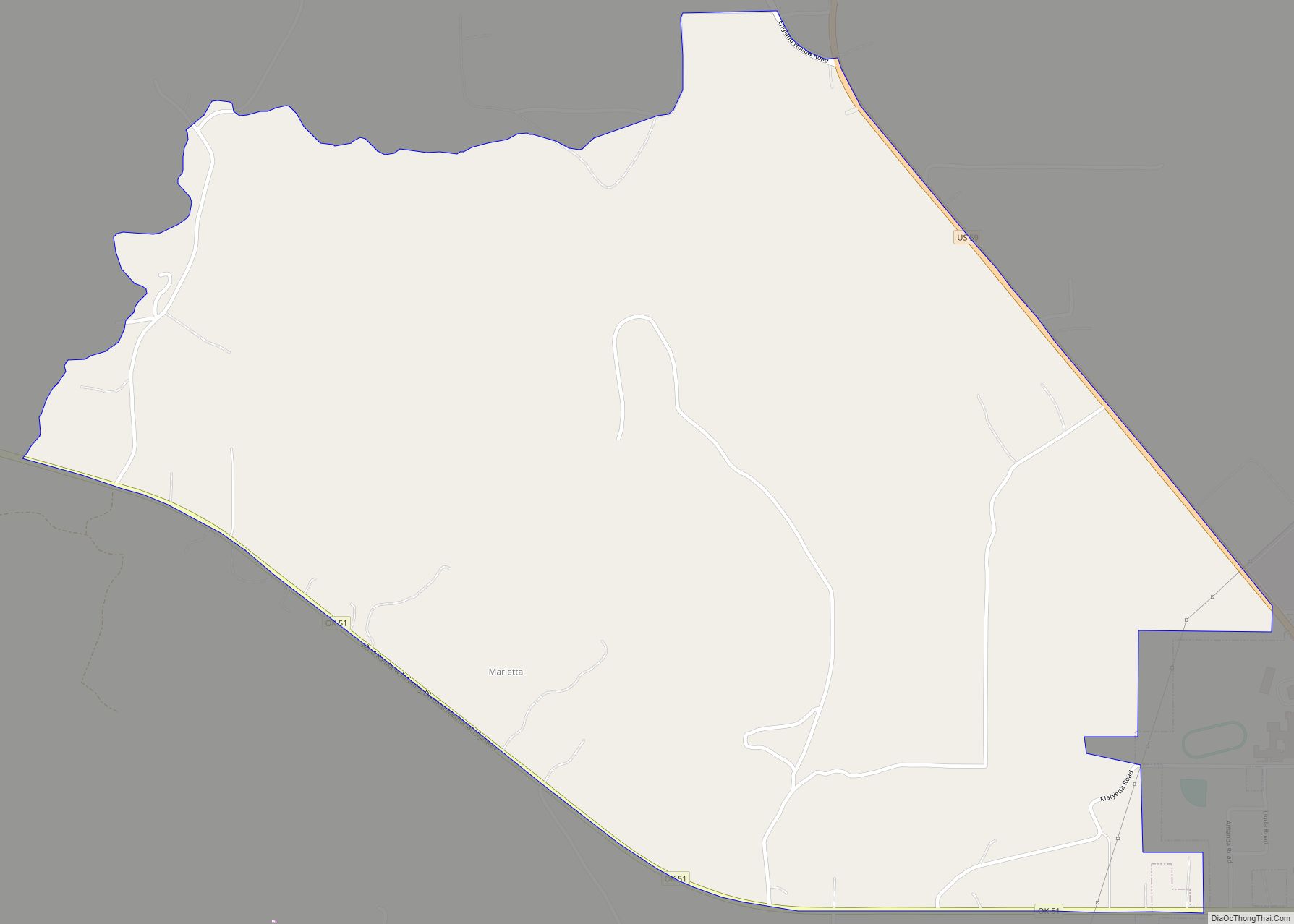
Online Interactive Map
Click on ![]() to view map in "full screen" mode.
to view map in "full screen" mode.
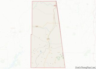
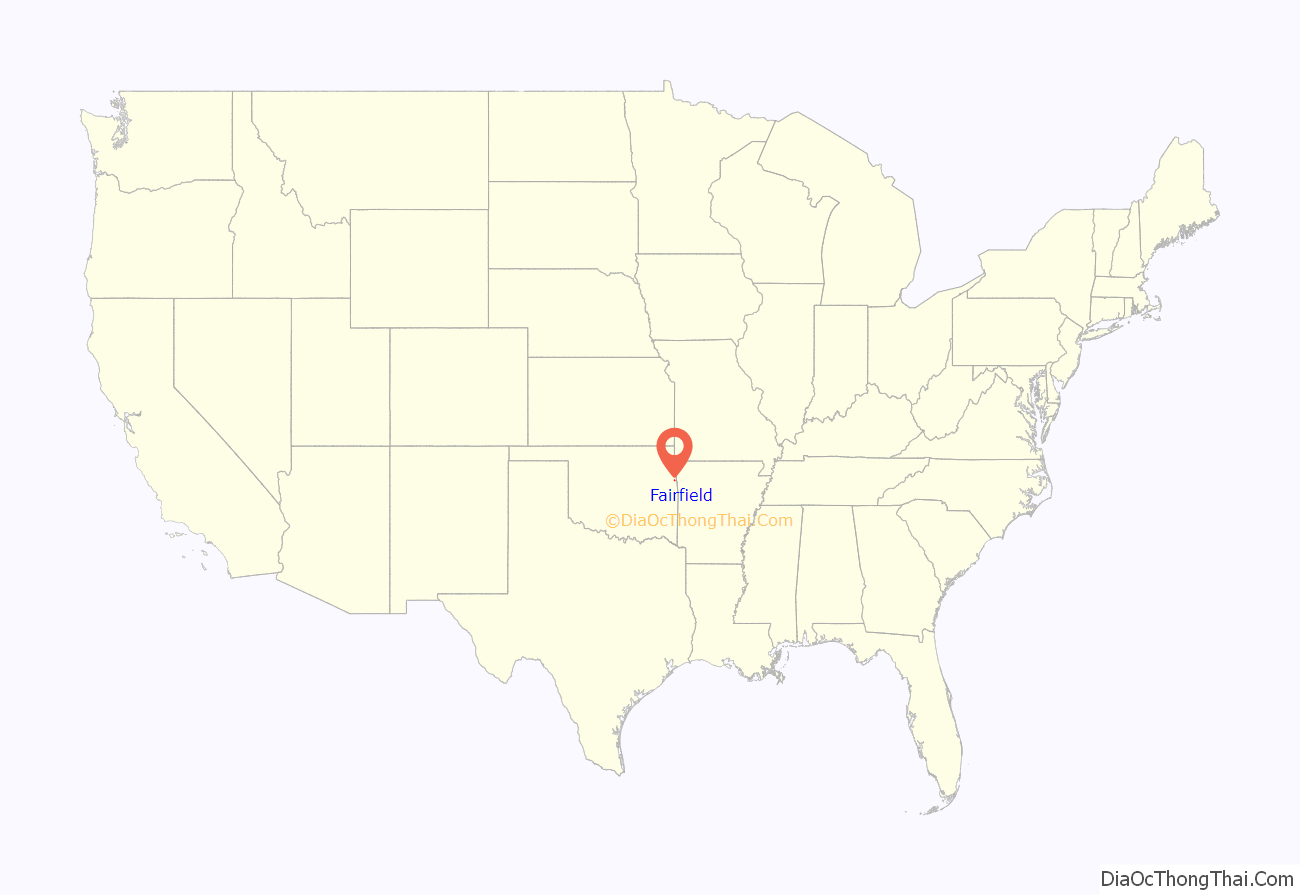
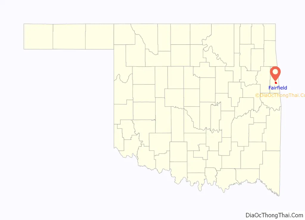
Fairfield location map. Where is Fairfield CDP?
History
Mulberry Mission was founded in Pope County, Arkansas Territory, among the Western Cherokees by Dr. Marcus Palmer It was a branch of Dwight Mission, which moved to Indian Territory and was renamed as the Fairfield Mission, when most of the Cherokees were forced to move there from their former homes in the Southeast. In 1832, The mission established a lending library that contained about 150 books. Sited on Sallisaw Creek, about 8 miles (13 km) southwest of Stilwell, Oklahoma, the mission closed in 1859. No structures remain in place. The mission cemetery still remains, and it has been renamed as McLemore Cemetery.
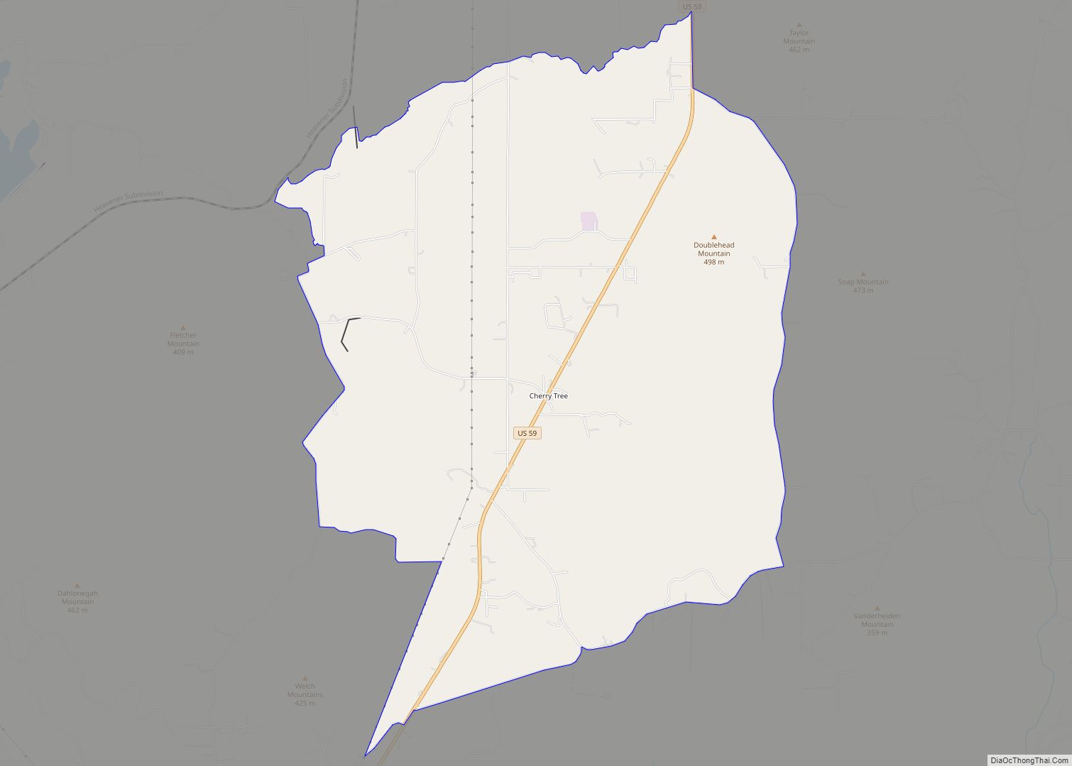
Fairfield Road Map
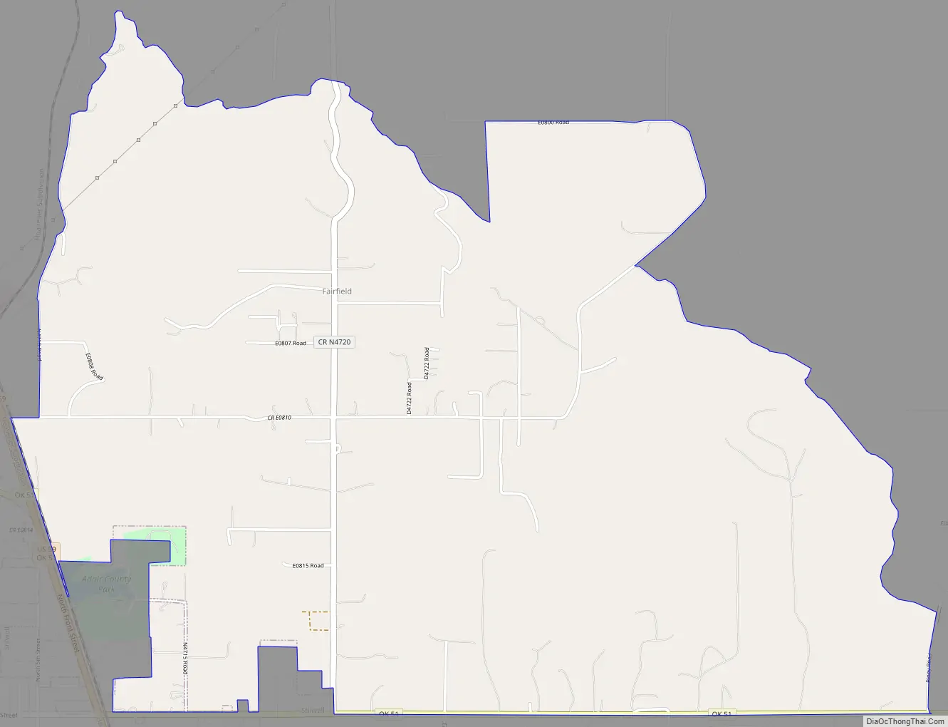
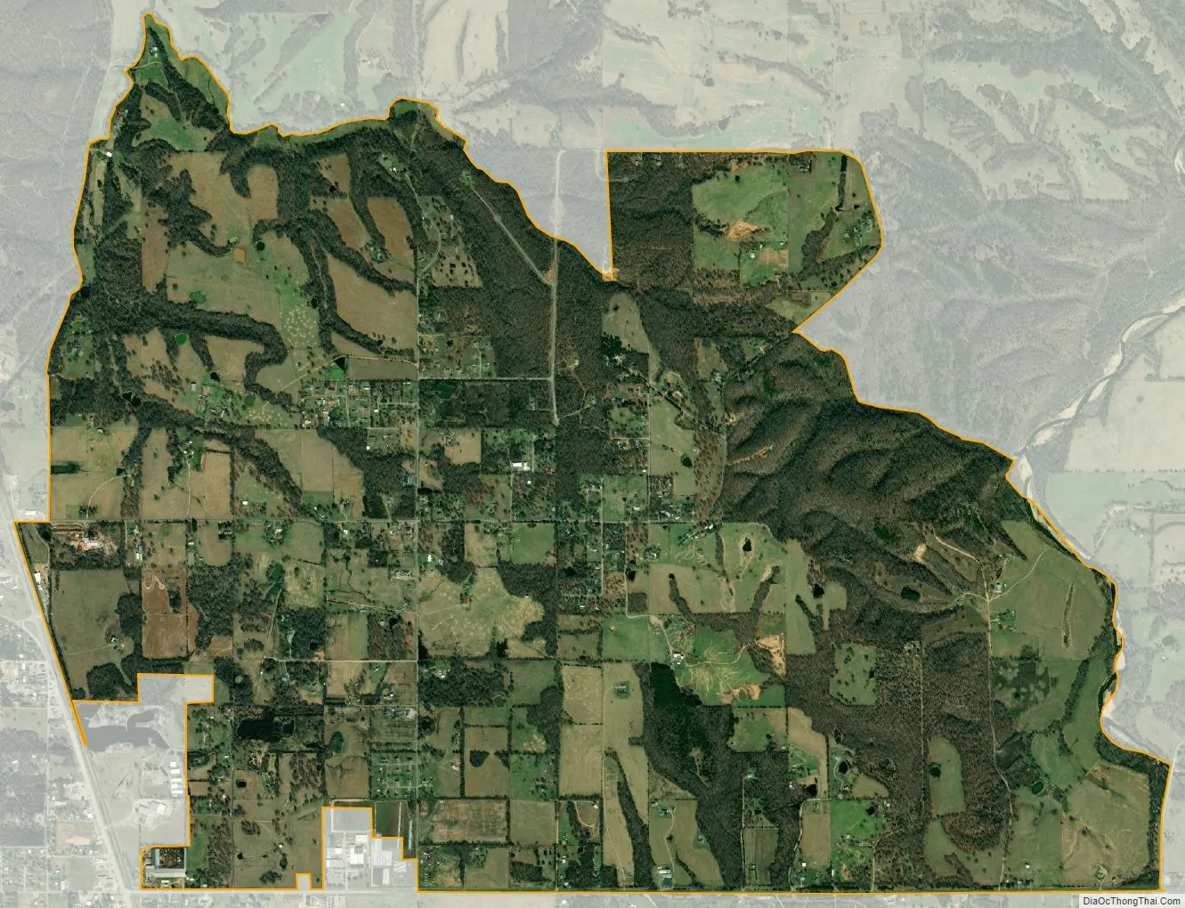
Fairfield city Satellite Map
Geography
Fairfield is located at 35°51′29″N 94°36′58″W / 35.85806°N 94.61611°W / 35.85806; -94.61611 (35.857975, -94.616168).
According to Carolyn Foreman’s history of the mission, it was 15 miles (24 km) from Evansville, Arkansas, 35 miles (56 km) from Fort Smith and about 35 miles (56 km) from Fort Gibson.
According to the United States Census Bureau, the CDP has a total area of 5.0 square miles (12.9 km), of which 0.015 square miles (0.04 km), or 0.30%, is water.
See also
Map of Oklahoma State and its subdivision:- Adair
- Alfalfa
- Atoka
- Beaver
- Beckham
- Blaine
- Bryan
- Caddo
- Canadian
- Carter
- Cherokee
- Choctaw
- Cimarron
- Cleveland
- Coal
- Comanche
- Cotton
- Craig
- Creek
- Custer
- Delaware
- Dewey
- Ellis
- Garfield
- Garvin
- Grady
- Grant
- Greer
- Harmon
- Harper
- Haskell
- Hughes
- Jackson
- Jefferson
- Johnston
- Kay
- Kingfisher
- Kiowa
- Latimer
- Le Flore
- Lincoln
- Logan
- Love
- Major
- Marshall
- Mayes
- McClain
- McCurtain
- McIntosh
- Murray
- Muskogee
- Noble
- Nowata
- Okfuskee
- Oklahoma
- Okmulgee
- Osage
- Ottawa
- Pawnee
- Payne
- Pittsburg
- Pontotoc
- Pottawatomie
- Pushmataha
- Roger Mills
- Rogers
- Seminole
- Sequoyah
- Stephens
- Texas
- Tillman
- Tulsa
- Wagoner
- Washington
- Washita
- Woods
- Woodward
- Alabama
- Alaska
- Arizona
- Arkansas
- California
- Colorado
- Connecticut
- Delaware
- District of Columbia
- Florida
- Georgia
- Hawaii
- Idaho
- Illinois
- Indiana
- Iowa
- Kansas
- Kentucky
- Louisiana
- Maine
- Maryland
- Massachusetts
- Michigan
- Minnesota
- Mississippi
- Missouri
- Montana
- Nebraska
- Nevada
- New Hampshire
- New Jersey
- New Mexico
- New York
- North Carolina
- North Dakota
- Ohio
- Oklahoma
- Oregon
- Pennsylvania
- Rhode Island
- South Carolina
- South Dakota
- Tennessee
- Texas
- Utah
- Vermont
- Virginia
- Washington
- West Virginia
- Wisconsin
- Wyoming