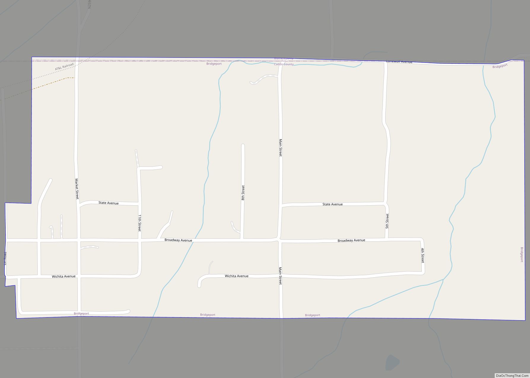
Fort Cobb is a town in Caddo County, Oklahoma, United States. The population was 634 at the 2010 census.
| Name: | Fort Cobb town |
|---|---|
| LSAD Code: | 43 |
| LSAD Description: | town (suffix) |
| State: | Oklahoma |
| County: | Caddo County |
| Elevation: | 1,253 ft (382 m) |
| Total Area: | 0.72 sq mi (1.87 km²) |
| Land Area: | 0.71 sq mi (1.84 km²) |
| Water Area: | 0.01 sq mi (0.02 km²) |
| Total Population: | 518 |
| Population Density: | 727.53/sq mi (280.80/km²) |
| ZIP code: | 73038 |
| Area code: | 405/572 |
| FIPS code: | 4027100 |
| GNISfeature ID: | 1092951 |
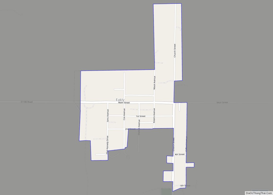
Online Interactive Map
Click on ![]() to view map in "full screen" mode.
to view map in "full screen" mode.
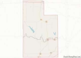
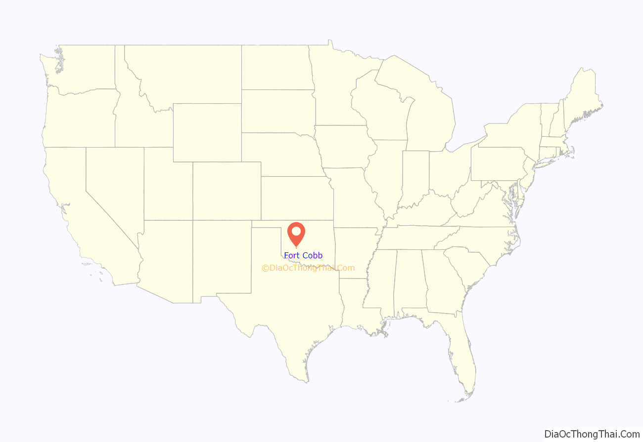
Fort Cobb location map. Where is Fort Cobb town?
History
Fort Cobb was established as a U.S. Army frontier post in Indian Territory on October 1, 1859, 1 mile (1.6 km) east of the present location of the town. The fort was named after Secretary of the Treasury Howell Cobb, a friend of the founding officer, Major William Emory. The post was later occupied by both Southern and Northern forces during the Civil War, the Union taking control of the fort as part of the 1862 Tonkawa massacre.
Later, Lieutenant Colonel George Armstrong Custer’s command was encamped at Fort Cobb from December 18, 1868, to January 6, 1869. Shortly after that, on March 12, 1869, the fort was abandoned in favor of a location 30 miles (48 km) to the south near the Wichita Mountains, and renamed Fort Sill.
The town of Fort Cobb was founded in 1899, and simply named Cobb, which was renamed Fort Cobb in 1902 to honor the defunct military post. At statehood in 1907, the town had 467 residents. The number had fallen to 382 at the 1910 census, but grew to 546 in 1920. The largest number of residents was 827 in 1930, but soon began a steep decline because of the Great Depression and World War II. In 1940 it was 699, and falling to 665 in 1950. It rebounded to 687 in 1960, 722 in 1970 and 760 in 1980. There was another sharp drop to 663 in 1990, followed by a rise to 663 in 1990, 667 in 2000 and then declining again to 634 in 2010.
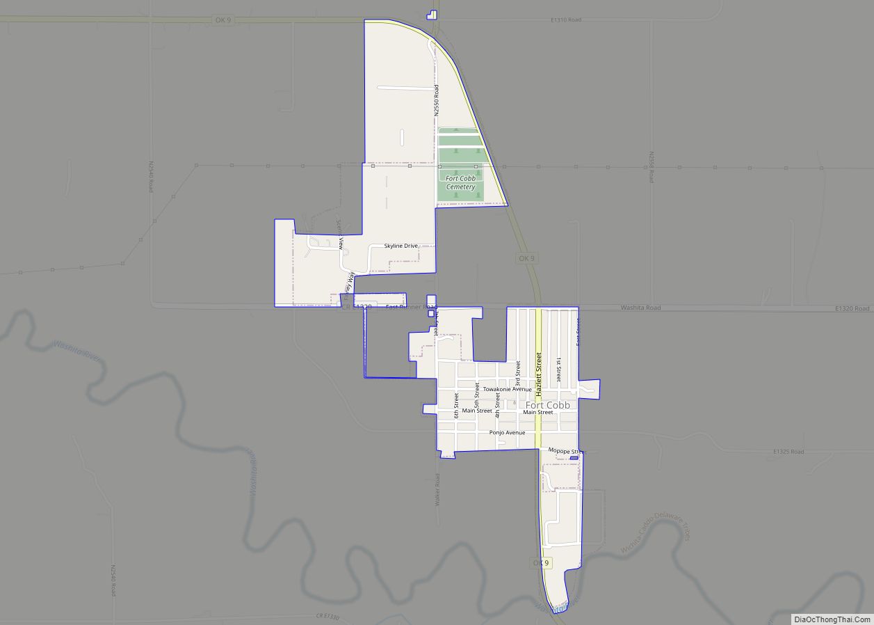
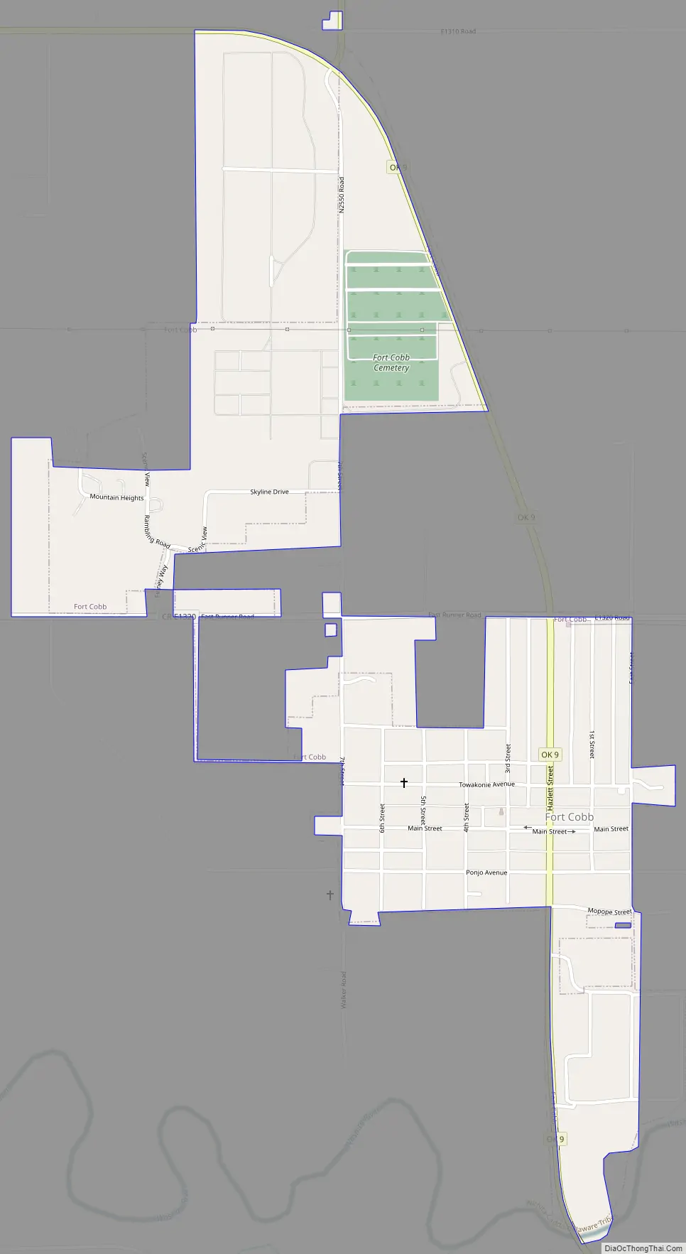
Fort Cobb Road Map
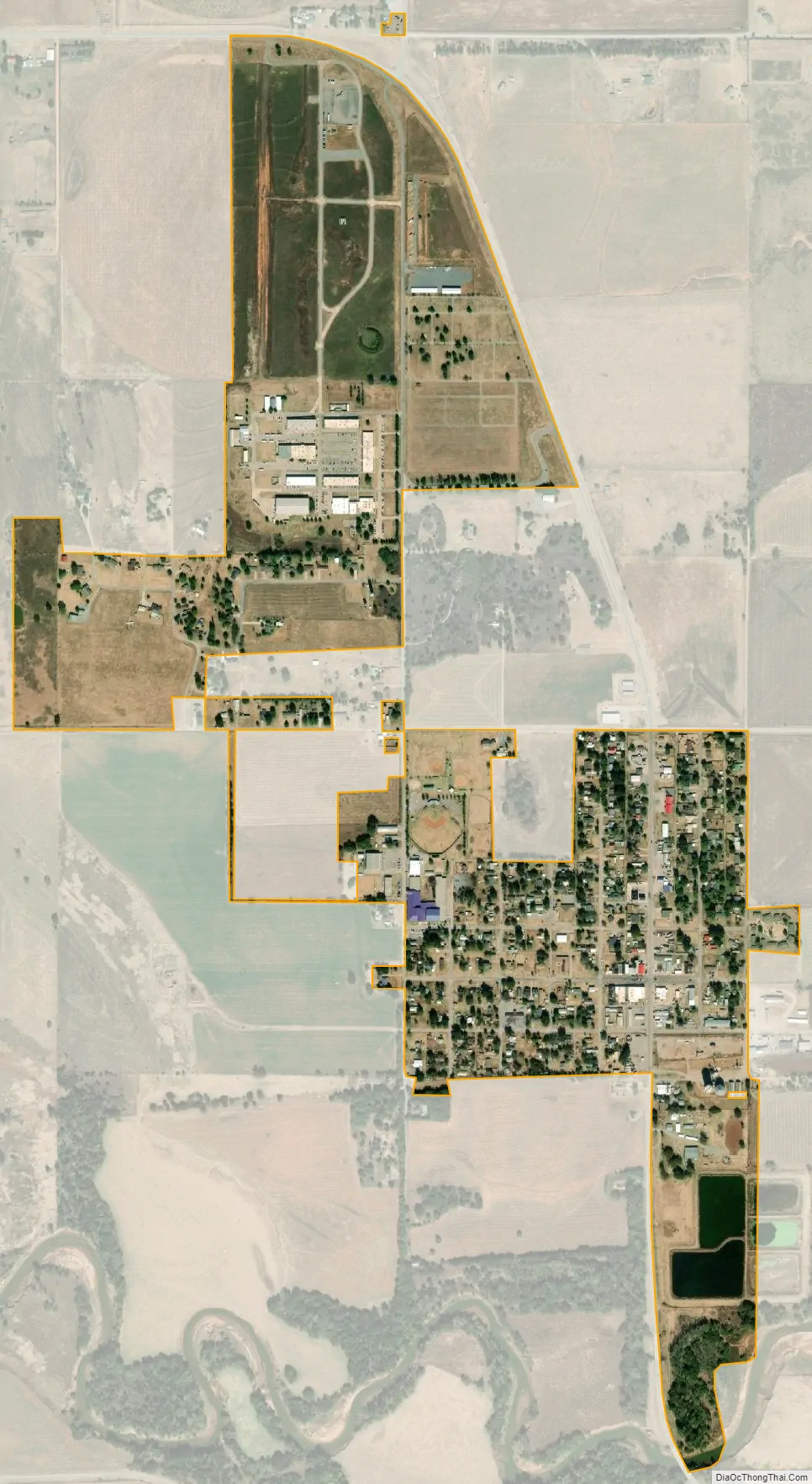
Fort Cobb city Satellite Map
Geography
Fort Cobb is located west of the center of Caddo County at 35°5′58″N 98°26′19″W / 35.09944°N 98.43861°W / 35.09944; -98.43861 (35.099581, -98.438498), in the valley of the Washita River. Oklahoma State Highway 9 passes through the town, leading east 15 miles (24 km) to Anadarko, the county seat, and west 11 miles (18 km) to Carnegie.
According to the United States Census Bureau, Fort Cobb has a total area of 0.54 square miles (1.4 km), of which 0.01 square miles (0.02 km), or 1.57%, is water.
See also
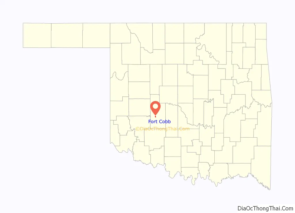
Map of Oklahoma State and its subdivision:- Adair
- Alfalfa
- Atoka
- Beaver
- Beckham
- Blaine
- Bryan
- Caddo
- Canadian
- Carter
- Cherokee
- Choctaw
- Cimarron
- Cleveland
- Coal
- Comanche
- Cotton
- Craig
- Creek
- Custer
- Delaware
- Dewey
- Ellis
- Garfield
- Garvin
- Grady
- Grant
- Greer
- Harmon
- Harper
- Haskell
- Hughes
- Jackson
- Jefferson
- Johnston
- Kay
- Kingfisher
- Kiowa
- Latimer
- Le Flore
- Lincoln
- Logan
- Love
- Major
- Marshall
- Mayes
- McClain
- McCurtain
- McIntosh
- Murray
- Muskogee
- Noble
- Nowata
- Okfuskee
- Oklahoma
- Okmulgee
- Osage
- Ottawa
- Pawnee
- Payne
- Pittsburg
- Pontotoc
- Pottawatomie
- Pushmataha
- Roger Mills
- Rogers
- Seminole
- Sequoyah
- Stephens
- Texas
- Tillman
- Tulsa
- Wagoner
- Washington
- Washita
- Woods
- Woodward
- Alabama
- Alaska
- Arizona
- Arkansas
- California
- Colorado
- Connecticut
- Delaware
- District of Columbia
- Florida
- Georgia
- Hawaii
- Idaho
- Illinois
- Indiana
- Iowa
- Kansas
- Kentucky
- Louisiana
- Maine
- Maryland
- Massachusetts
- Michigan
- Minnesota
- Mississippi
- Missouri
- Montana
- Nebraska
- Nevada
- New Hampshire
- New Jersey
- New Mexico
- New York
- North Carolina
- North Dakota
- Ohio
- Oklahoma
- Oregon
- Pennsylvania
- Rhode Island
- South Carolina
- South Dakota
- Tennessee
- Texas
- Utah
- Vermont
- Virginia
- Washington
- West Virginia
- Wisconsin
- Wyoming