Fort Gibson is a town in Cherokee and Muskogee counties in the U.S. state of Oklahoma. The population was 4,154 at the 2010 census, an increase of 2.5 percent over the figure of 4,054 recorded in 2000. It is the location of Fort Gibson Historical Site and Fort Gibson National Cemetery and is located near the end of the Cherokees’ Trail of Tears at Tahlequah.
Colonel Matthew Arbuckle of the United States Army established Fort Gibson in 1824. The Army abandoned the fort in 1890. A recreation of the fort stands at the historic site, which was built as a Works Progress Administration project between 1935 and 1939, at a different location from the original fort.
The town calls itself “The Oldest Town in Oklahoma.”
| Name: | Fort Gibson town |
|---|---|
| LSAD Code: | 43 |
| LSAD Description: | town (suffix) |
| State: | Oklahoma |
| County: | Cherokee County, Muskogee County |
| Founded: | April 21, 1824 |
| Elevation: | 564 ft (172 m) |
| Total Area: | 14.01 sq mi (36.29 km²) |
| Land Area: | 13.36 sq mi (34.60 km²) |
| Water Area: | 0.65 sq mi (1.69 km²) |
| Total Population: | 3,814 |
| Population Density: | 285.52/sq mi (110.24/km²) |
| ZIP code: | 74434 |
| Area code: | 539/918 |
| FIPS code: | 4027200 |
| GNISfeature ID: | 1092958 |
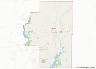
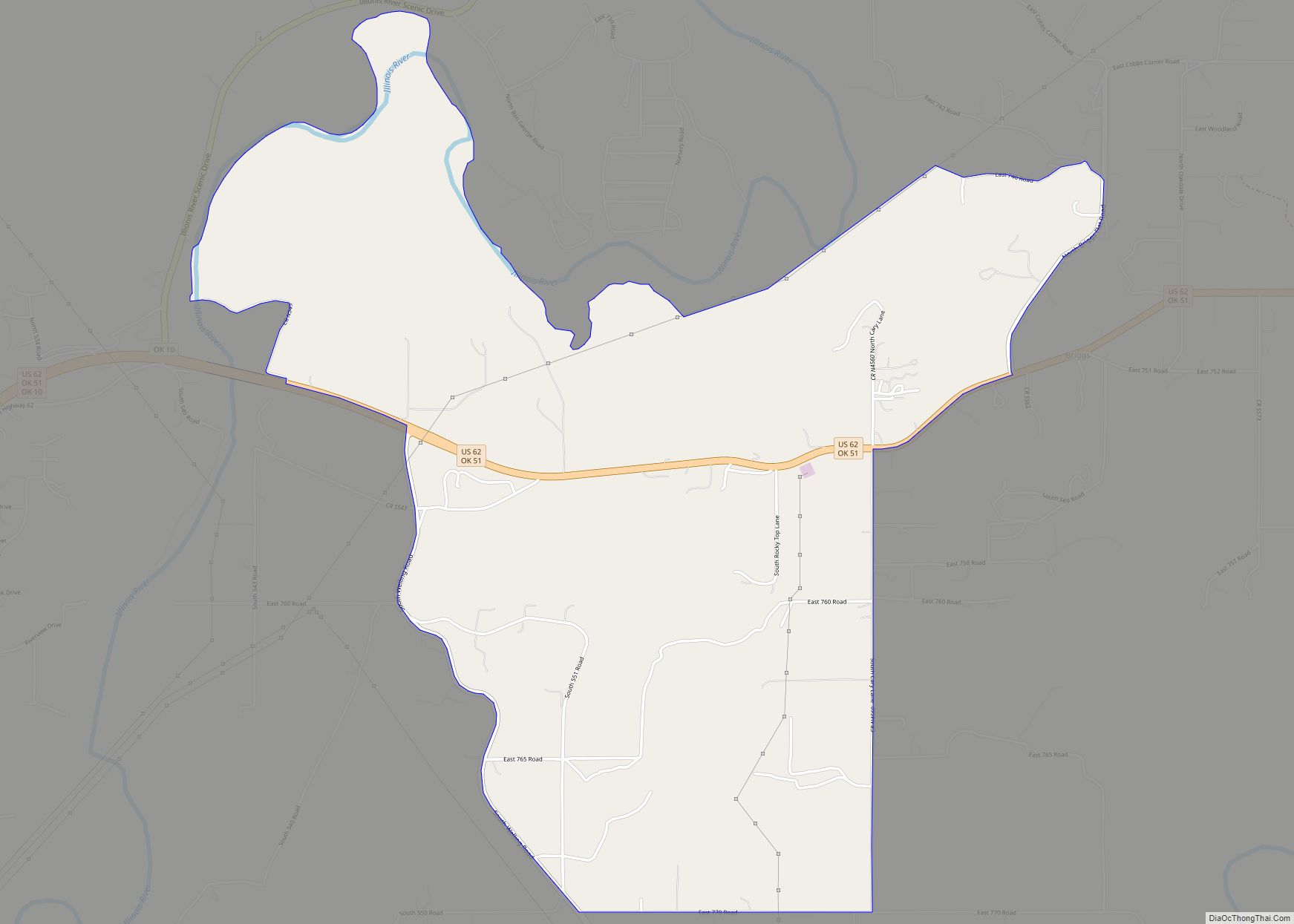
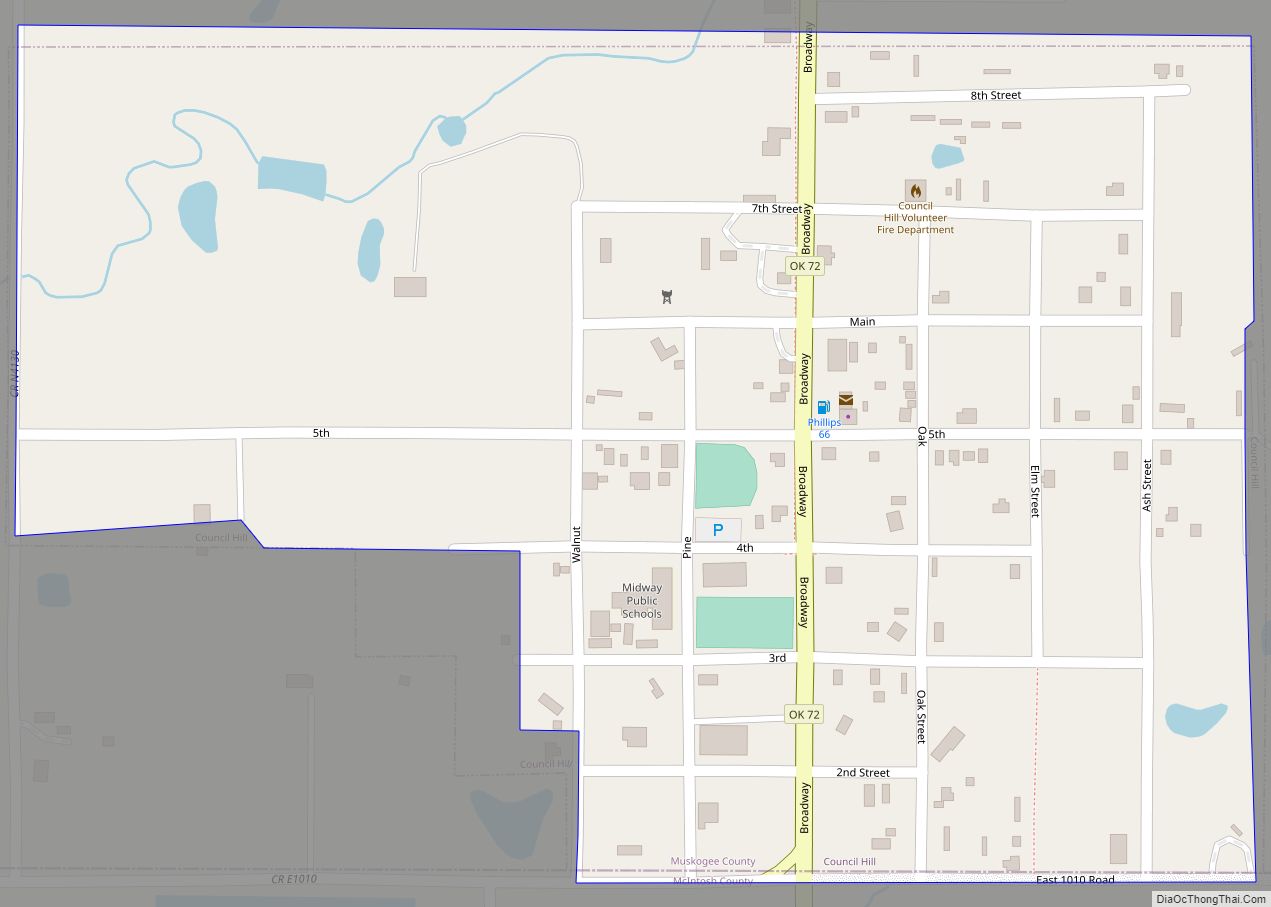
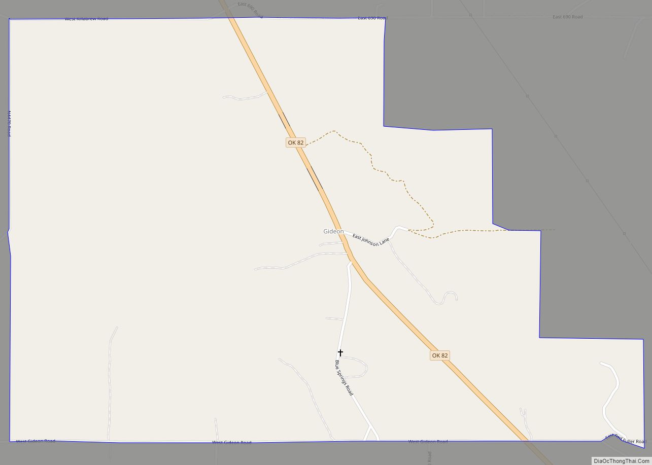
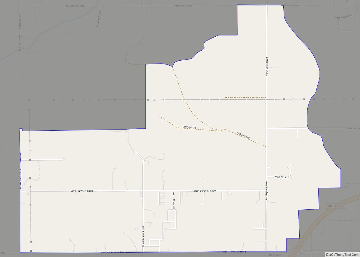
Online Interactive Map
Click on ![]() to view map in "full screen" mode.
to view map in "full screen" mode.
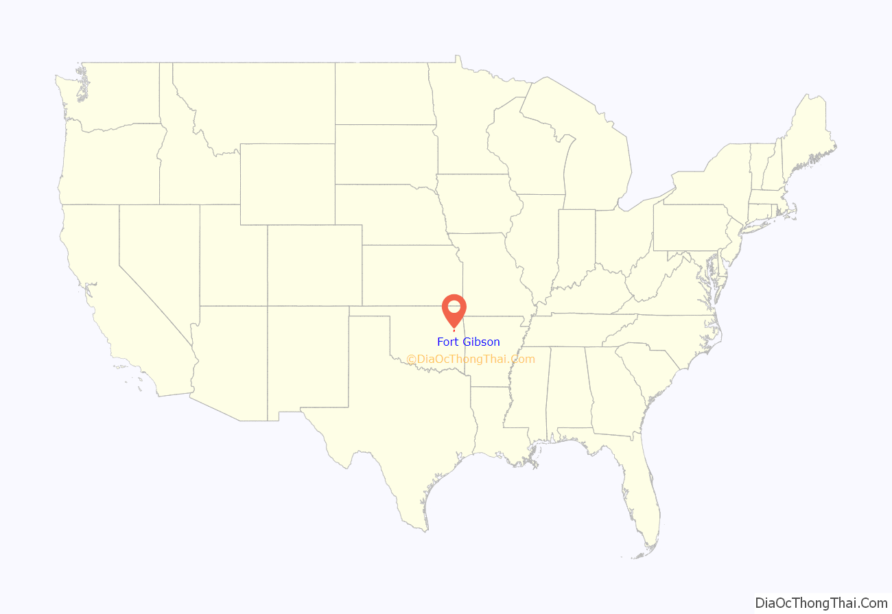
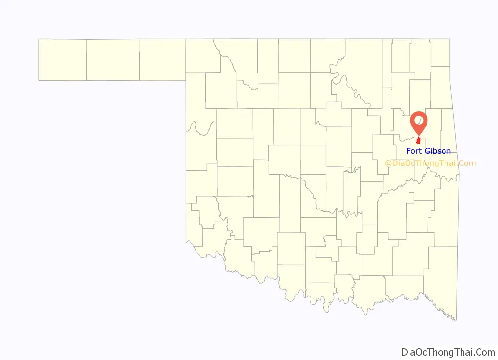
Fort Gibson location map. Where is Fort Gibson town?
History
Fort Gibson was originally established as a military garrison, Cantonment Gibson, in April 1824. The camp was set up to facilitate U.S. government policies of westward expansion and Indian removal. After the founding of Fort Gibson in 1824, military families, Indians desiring military protection, and free African-Americans settled near the fort, forming a town. After the Army abandoned Fort Gibson in 1857, the Cherokee Nation took over the military stockade and renamed the town Keetoowah.
The Army reoccupied Fort Gibson during the American Civil War and was renamed Fort Blunt from 1862 – 1865 for Maj. Gen. James G. Blunt. The town again prospered as refugees from fighting elsewhere fled to the relative safety of the fort. By the spring of 1863, soldiers in the Indian Home Guard occupied the fort. For several months, the Federal supported garrison had to fight off raids by Stand Watie and his Confederate backed Cherokee horsemen. Aside from Confederate raids, the garrison also suffered from outbreaks of cholera and smallpox. Sonuk Mikko, an officer in the Indian Home Guard, contracted smallpox while stationed at the Fort and succumbed to the illness.
On May 20, 1898, the Articles of Incorporation for the town of Fort Gibson were established under the Arkansas Statutes, placing all of the densely settled areas under one jurisdiction.
The townspeople considered Fort Gibson poorly located after suffering fires, mosquitoes, and other afflictions. They moved the town to higher ground around 1900. The first buildings had faced west toward the Kansas and Arkansas Valley Railway (later the Missouri Pacific Railroad) tracks. In 1904 the town of Fort Gibson, Indian Territory, was surveyed and platted. In 1904 the town was turned around and situated one block east when J. C. Pierce built the first brick building. In 1906 John C. Berd constructed a brick-and-stone building for his drugstore, and the commercial district grew around these two permanent features. It had 1,063 residents in 1907.
One of the oldest non-Indian settlements in Oklahoma, Fort Gibson had other firsts for Oklahoma, such as:
- the first telephone,
- first drama theater,
- first steamboat landing,
- first school for the blind,
- first highway to Fort Smith
- the first interurban, which connected Fort Gibson to Muskogee.
In 1896 J. S. Holden started a weekly newspaper, the Post. At least six other newspapers followed in the early 20th century; the Fort Gibson Times continued into the 21st century.
In 1940, 1,233 people populated the town, and by 1970 there were 1,418 citizens. Home to twenty-six churches and fourteen civic clubs and organizations at the beginning of the 21st century, the town boasted a strong civic spirit. The town has a board of trustees type of government. The manufacturing industry supports the majority of workers, and the health care sector is close behind. The 2000 census listed 4,054 residents, and the school system housed 1,900 students at a teacher-student ratio of one to fifteen.
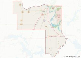
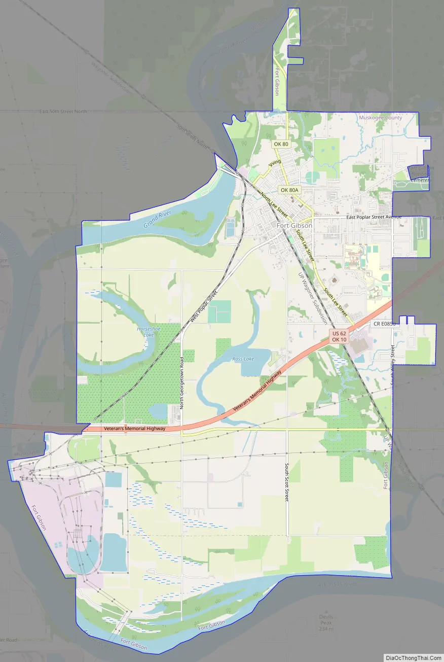
Fort Gibson Road Map
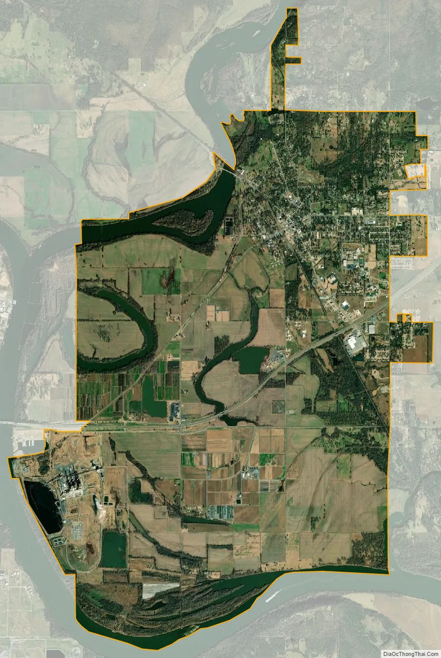
Fort Gibson city Satellite Map
Geography
Fort Gibson is located in northeastern Muskogee County at 35°47′41″N 95°15′11″W / 35.79472°N 95.25306°W / 35.79472; -95.25306 (35.794861, -95.253090). A small portion of the town extends north into a corner of Cherokee County. Fort Gibson is bordered to the west by the city of Muskogee, the Muskogee County seat.
According to the United States Census Bureau, the town of Fort Gibson has a total area of 14.2 square miles (36.8 km), of which 13.6 square miles (35.2 km) land and 0.62 square miles (1.6 km) (4.29%) is water. The Neosho River follows the northwest border of the town and joins the Arkansas River, which flows just west of the town boundary, then forms the southern boundary.
U.S. Route 62 passes through the southern part of Fort Gibson, leading west 8 miles (13 km) to the center of Muskogee and northeast 20 miles (32 km) to Tahlequah.
See also
Map of Oklahoma State and its subdivision:- Adair
- Alfalfa
- Atoka
- Beaver
- Beckham
- Blaine
- Bryan
- Caddo
- Canadian
- Carter
- Cherokee
- Choctaw
- Cimarron
- Cleveland
- Coal
- Comanche
- Cotton
- Craig
- Creek
- Custer
- Delaware
- Dewey
- Ellis
- Garfield
- Garvin
- Grady
- Grant
- Greer
- Harmon
- Harper
- Haskell
- Hughes
- Jackson
- Jefferson
- Johnston
- Kay
- Kingfisher
- Kiowa
- Latimer
- Le Flore
- Lincoln
- Logan
- Love
- Major
- Marshall
- Mayes
- McClain
- McCurtain
- McIntosh
- Murray
- Muskogee
- Noble
- Nowata
- Okfuskee
- Oklahoma
- Okmulgee
- Osage
- Ottawa
- Pawnee
- Payne
- Pittsburg
- Pontotoc
- Pottawatomie
- Pushmataha
- Roger Mills
- Rogers
- Seminole
- Sequoyah
- Stephens
- Texas
- Tillman
- Tulsa
- Wagoner
- Washington
- Washita
- Woods
- Woodward
- Alabama
- Alaska
- Arizona
- Arkansas
- California
- Colorado
- Connecticut
- Delaware
- District of Columbia
- Florida
- Georgia
- Hawaii
- Idaho
- Illinois
- Indiana
- Iowa
- Kansas
- Kentucky
- Louisiana
- Maine
- Maryland
- Massachusetts
- Michigan
- Minnesota
- Mississippi
- Missouri
- Montana
- Nebraska
- Nevada
- New Hampshire
- New Jersey
- New Mexico
- New York
- North Carolina
- North Dakota
- Ohio
- Oklahoma
- Oregon
- Pennsylvania
- Rhode Island
- South Carolina
- South Dakota
- Tennessee
- Texas
- Utah
- Vermont
- Virginia
- Washington
- West Virginia
- Wisconsin
- Wyoming