Fort Towson is a town in Choctaw County, Oklahoma, United States. The population was 510 at the 2010 census, a 15.1 percent decline from the figure of 611 recorded in 2000. It was named for nearby Fort Towson, which had been established in May 1824 and named for General Nathan Towson, a hero of the War of 1812. The town of Fort Towson was established in 1902, after the Arkansas and Choctaw Railway reached eastern Choctaw County.
| Name: | Fort Towson town |
|---|---|
| LSAD Code: | 43 |
| LSAD Description: | town (suffix) |
| State: | Oklahoma |
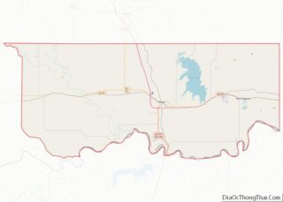
| County: | Choctaw County |
| Elevation: | 463 ft (141 m) |
| Total Area: | 5.99 sq mi (15.51 km²) |
| Land Area: | 5.62 sq mi (14.56 km²) |
| Water Area: | 0.37 sq mi (0.95 km²) |
| Total Population: | 492 |
| Population Density: | 87.50/sq mi (33.78/km²) |
| ZIP code: | 74735 |
| Area code: | 580 |
| FIPS code: | 4027400 |
| GNISfeature ID: | 1092969 |
| Website: | www.forttowson.us |
Online Interactive Map
Click on ![]() to view map in "full screen" mode.
to view map in "full screen" mode.
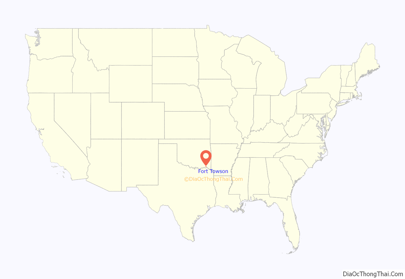
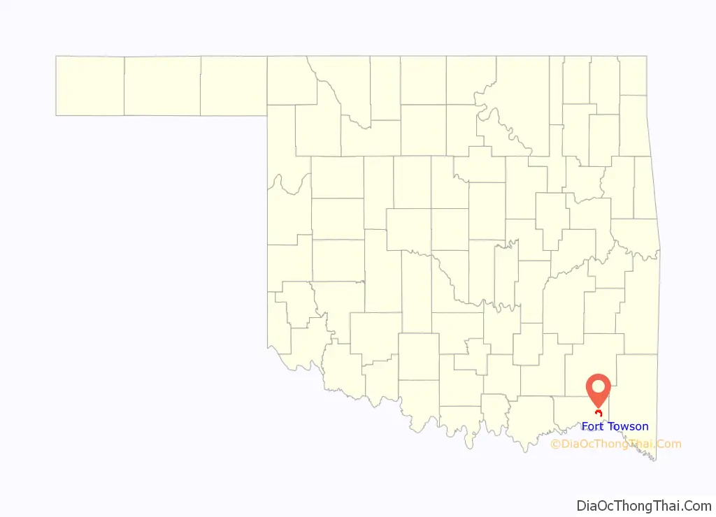
Fort Towson location map. Where is Fort Towson town?
History
The fort was first established to protect the southern border of the Indian Territory against Spanish colonies to the south. After Indian Removal and the resettlement of the Choctaw in the area, the fort was revived to protect Doaksville, a mile to the west. It became the economic capital of the Choctaw Nation. Fort Towson Landing was located at the head of navigable waters of the Red River. The site was located in Towson County, one of the constituent counties comprising the Apukshunnubbee District of the Choctaw Nation.
The Choctaw allied with the Confederacy in the Civil War. Chief Peter Pitchlynn surrendered on behalf of the Choctaw in June 1865.
Fort Towson was the site of the surrender of the last Confederate land forces in the American Civil War. On 23 June 1865, Brigadier General Stand Watie, a Cherokee chief, agreed to terms and took his Choctaw Battalion out of the war.
During the 1950s, Raymond Gary Lake and Raymond Gary State Park were created, and in 1979, Fort Towson’s town limits were extended to include the lake’s residents. Thus, the 1980 census recorded a population of 789.
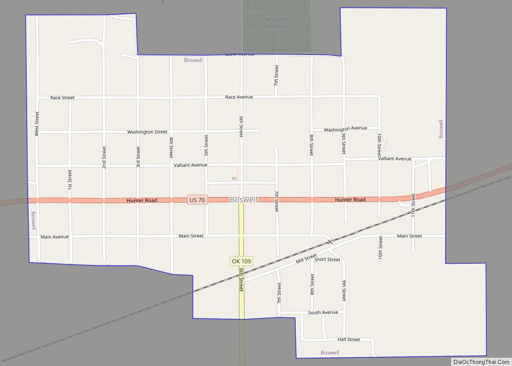
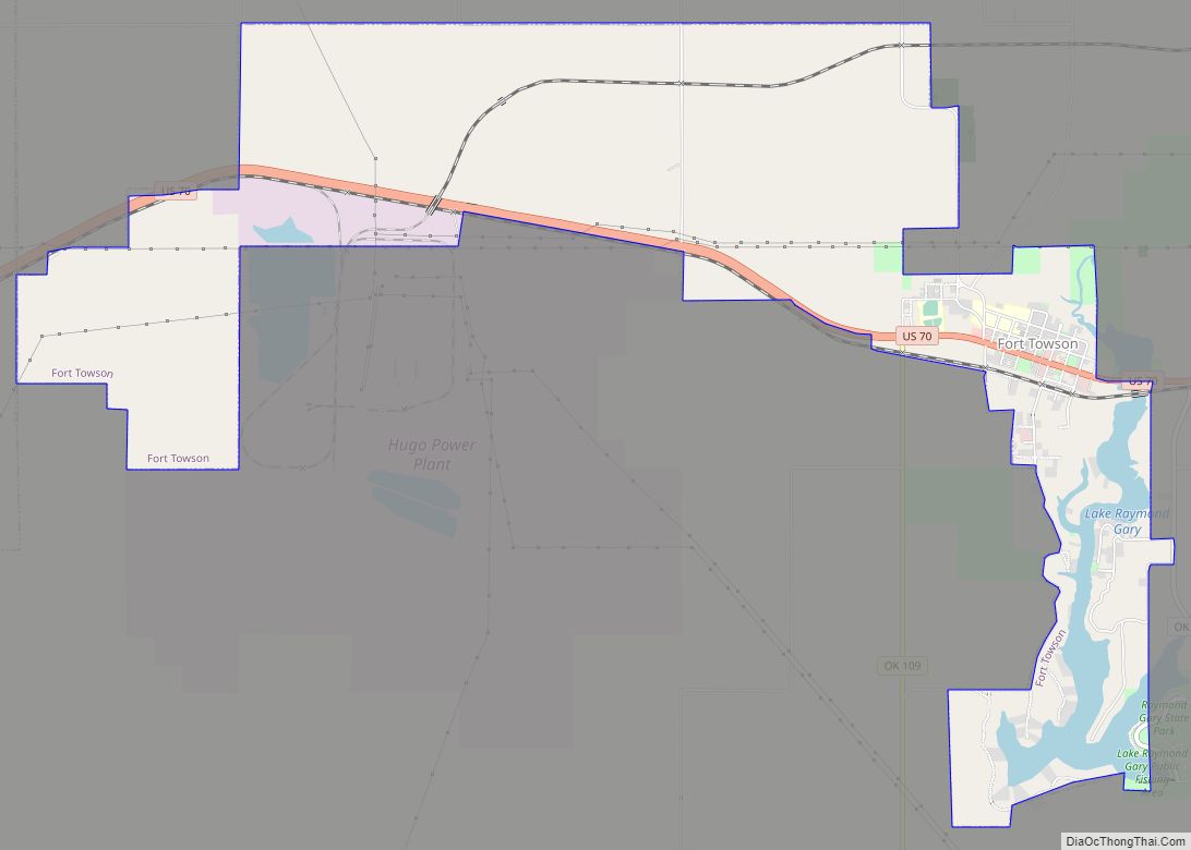
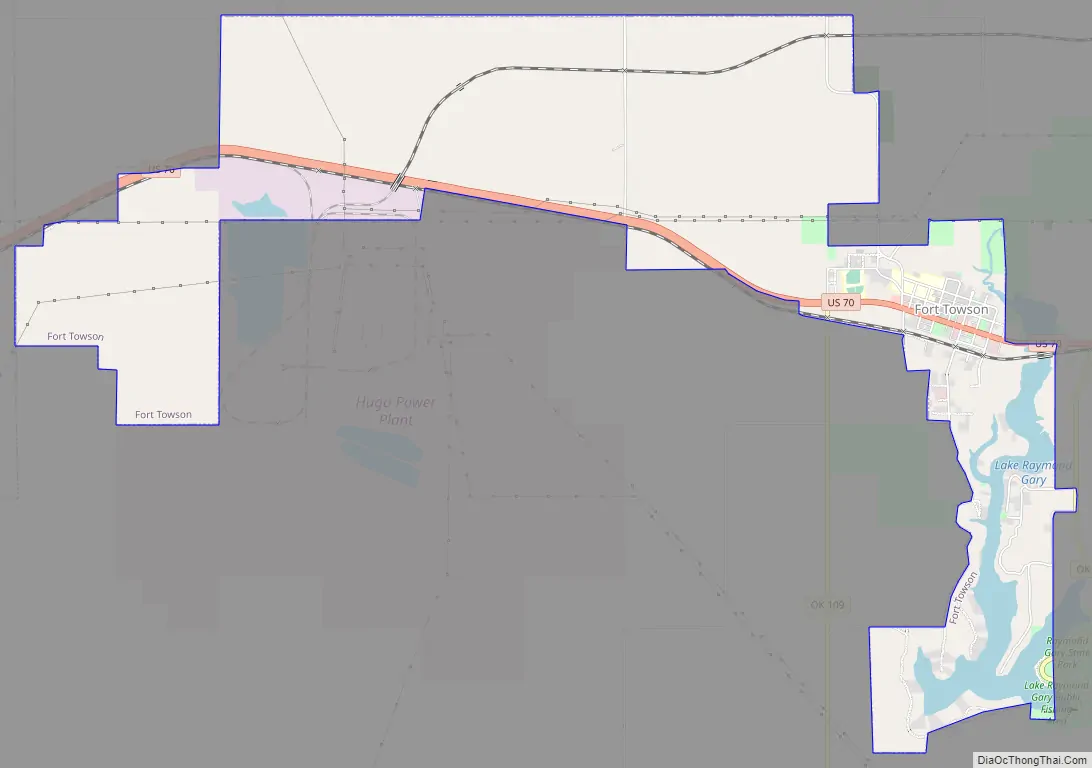
Fort Towson Road Map
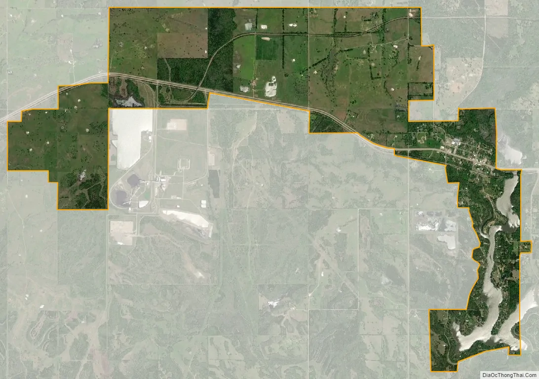
Fort Towson city Satellite Map
Geography
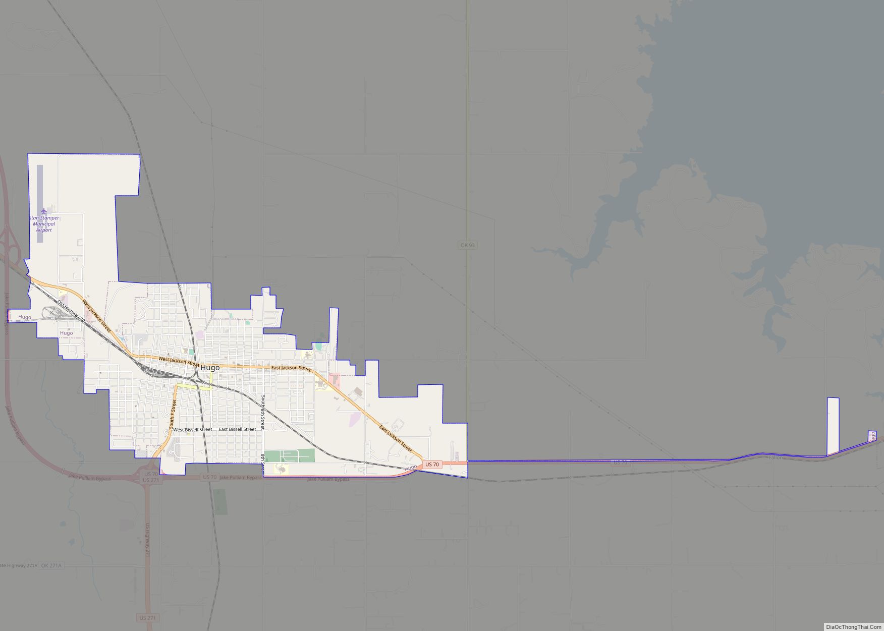
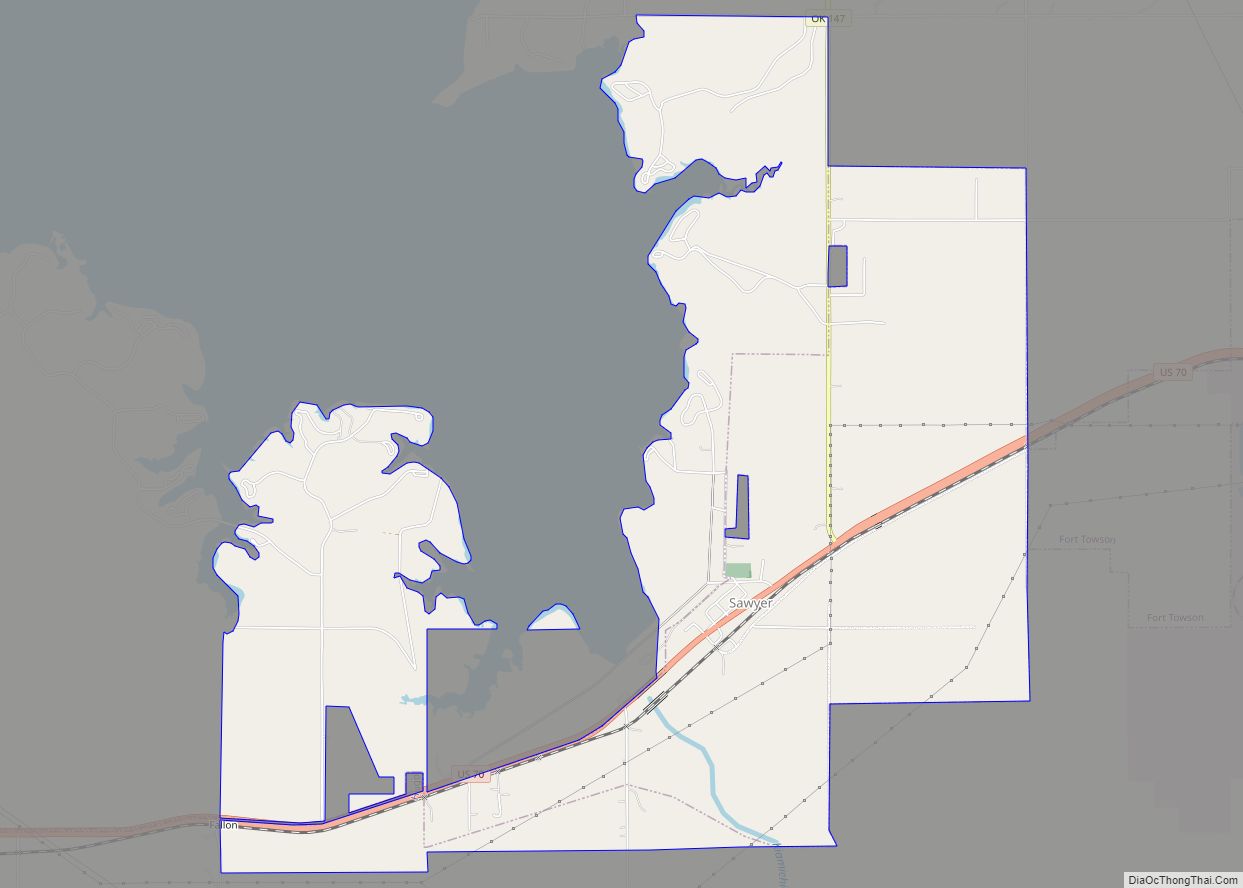
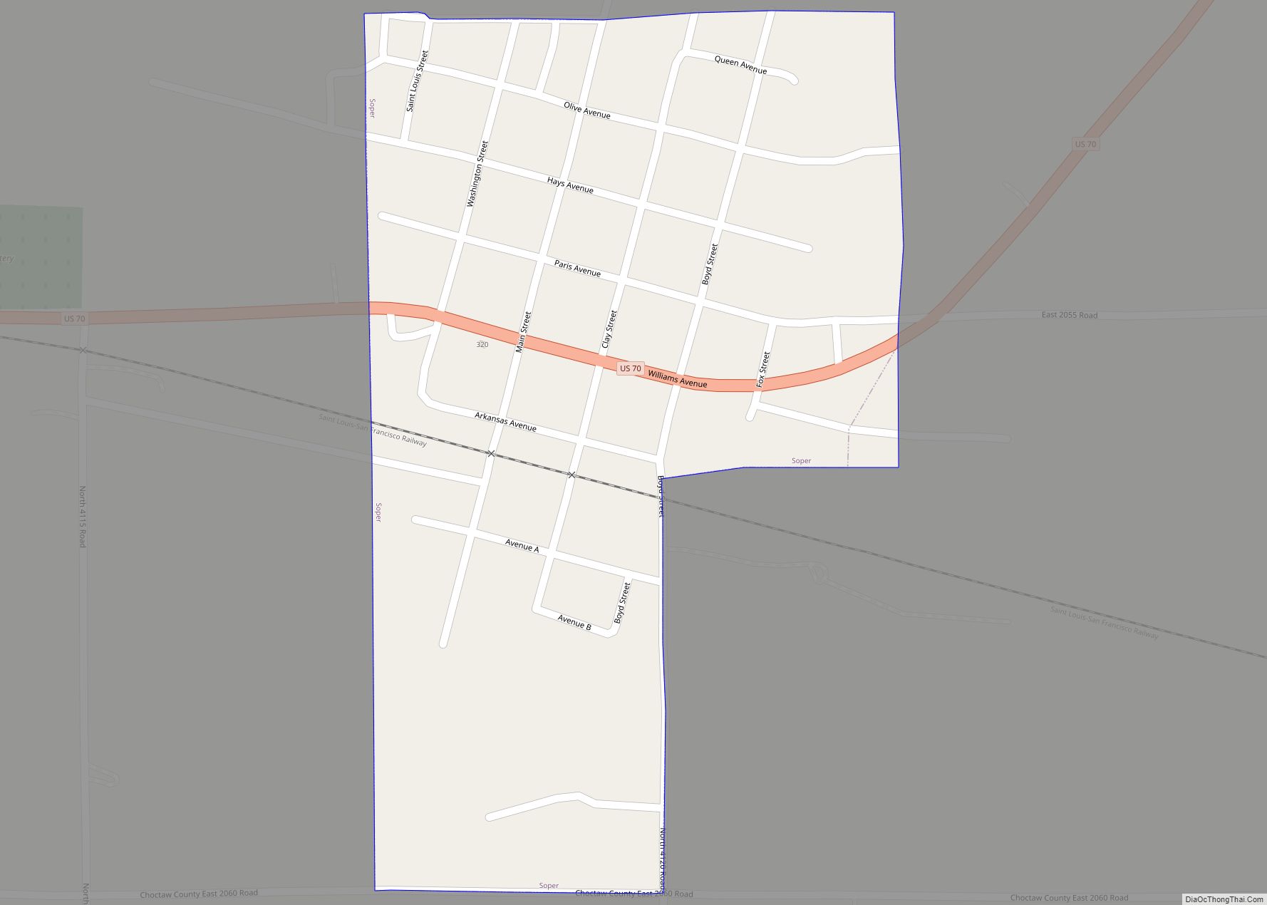
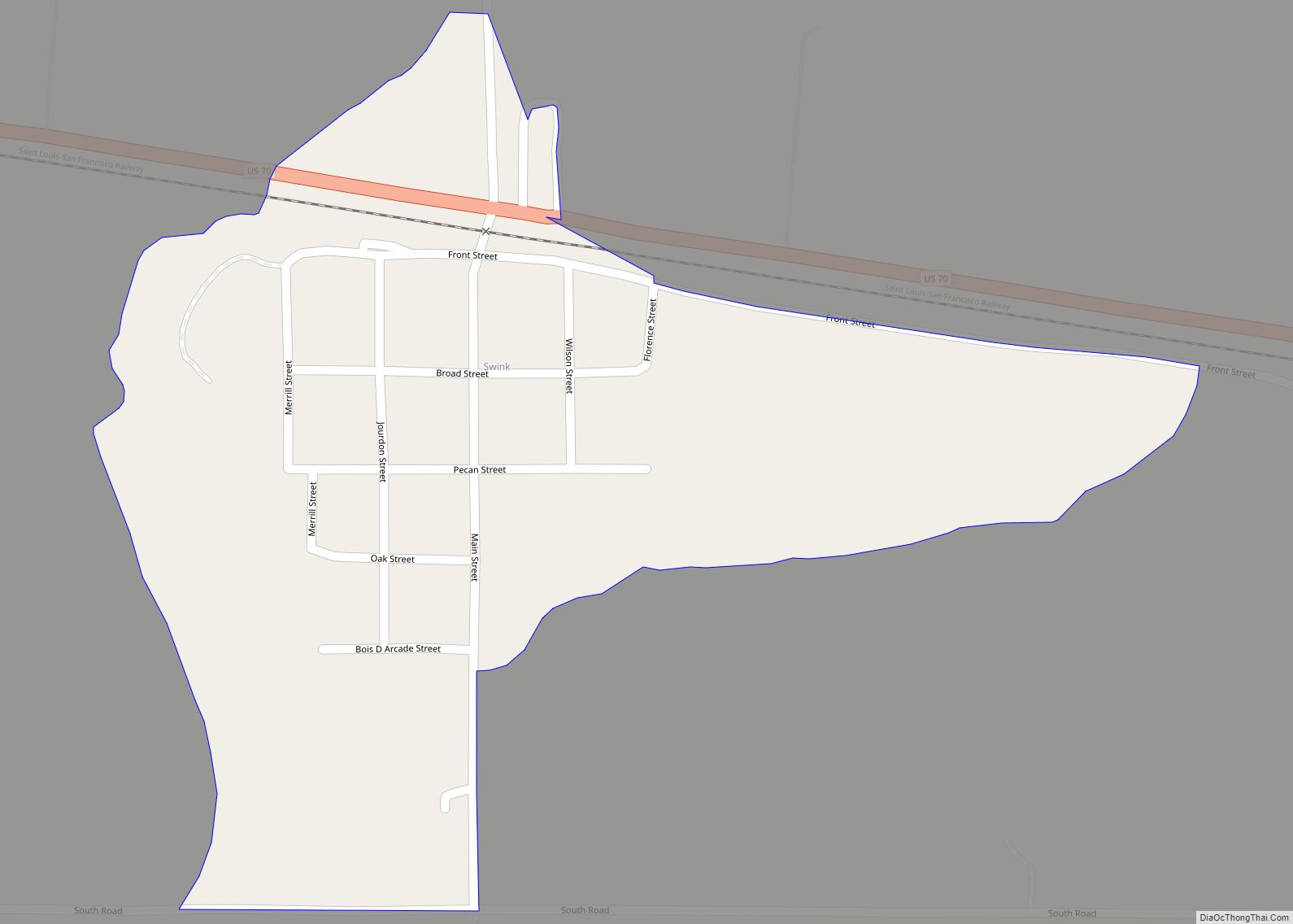
Fort Towson is located at 34°1′12″N 95°16′46″W / 34.02000°N 95.27944°W / 34.02000; -95.27944 (34.020042, -95.279374). It is 11 miles (18 km)east of Hugo.
According to the United States Census Bureau, the town has a total area of 5.9 square miles (15 km), of which 5.6 square miles (15 km) is land and 0.4 square miles (1.0 km) (6.23%) is water.
See also
Map of Oklahoma State and its subdivision:- Adair
- Alfalfa
- Atoka
- Beaver
- Beckham
- Blaine
- Bryan
- Caddo
- Canadian
- Carter
- Cherokee
- Choctaw
- Cimarron
- Cleveland
- Coal
- Comanche
- Cotton
- Craig
- Creek
- Custer
- Delaware
- Dewey
- Ellis
- Garfield
- Garvin
- Grady
- Grant
- Greer
- Harmon
- Harper
- Haskell
- Hughes
- Jackson
- Jefferson
- Johnston
- Kay
- Kingfisher
- Kiowa
- Latimer
- Le Flore
- Lincoln
- Logan
- Love
- Major
- Marshall
- Mayes
- McClain
- McCurtain
- McIntosh
- Murray
- Muskogee
- Noble
- Nowata
- Okfuskee
- Oklahoma
- Okmulgee
- Osage
- Ottawa
- Pawnee
- Payne
- Pittsburg
- Pontotoc
- Pottawatomie
- Pushmataha
- Roger Mills
- Rogers
- Seminole
- Sequoyah
- Stephens
- Texas
- Tillman
- Tulsa
- Wagoner
- Washington
- Washita
- Woods
- Woodward
- Alabama
- Alaska
- Arizona
- Arkansas
- California
- Colorado
- Connecticut
- Delaware
- District of Columbia
- Florida
- Georgia
- Hawaii
- Idaho
- Illinois
- Indiana
- Iowa
- Kansas
- Kentucky
- Louisiana
- Maine
- Maryland
- Massachusetts
- Michigan
- Minnesota
- Mississippi
- Missouri
- Montana
- Nebraska
- Nevada
- New Hampshire
- New Jersey
- New Mexico
- New York
- North Carolina
- North Dakota
- Ohio
- Oklahoma
- Oregon
- Pennsylvania
- Rhode Island
- South Carolina
- South Dakota
- Tennessee
- Texas
- Utah
- Vermont
- Virginia
- Washington
- West Virginia
- Wisconsin
- Wyoming