Gans is a town in Sequoyah County, Oklahoma, United States. It is part of the Fort Smith, Arkansas-Oklahoma Metropolitan Statistical Area. The population was 312 at the 2010 census, an increase of 50 percent over the figure of 208 recorded in 2000.
| Name: | Gans town |
|---|---|
| LSAD Code: | 43 |
| LSAD Description: | town (suffix) |
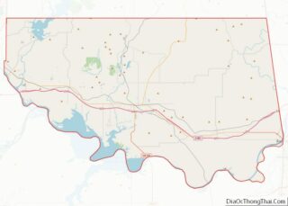
| State: | Oklahoma |
| County: | Sequoyah County |
| Elevation: | 541 ft (165 m) |
| Total Area: | 0.22 sq mi (0.56 km²) |
| Land Area: | 0.22 sq mi (0.56 km²) |
| Water Area: | 0.00 sq mi (0.00 km²) |
| Total Population: | 251 |
| Population Density: | 1,156.68/sq mi (446.05/km²) |
| ZIP code: | 74936 |
| Area code: | 539/918 |
| FIPS code: | 4028350 |
| GNISfeature ID: | 1093097 |
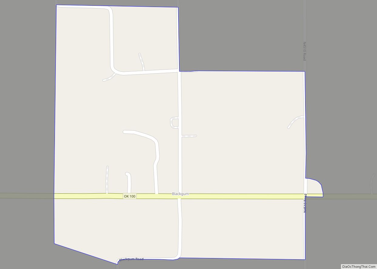
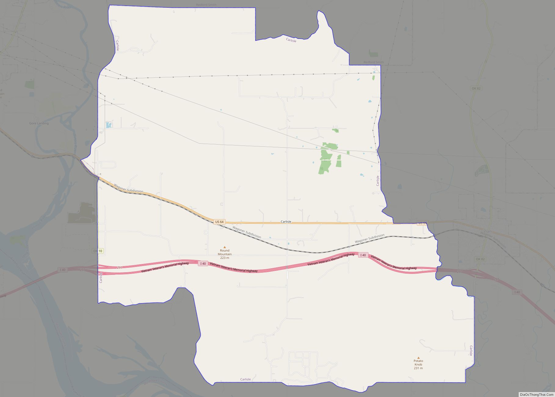
Online Interactive Map
Click on ![]() to view map in "full screen" mode.
to view map in "full screen" mode.
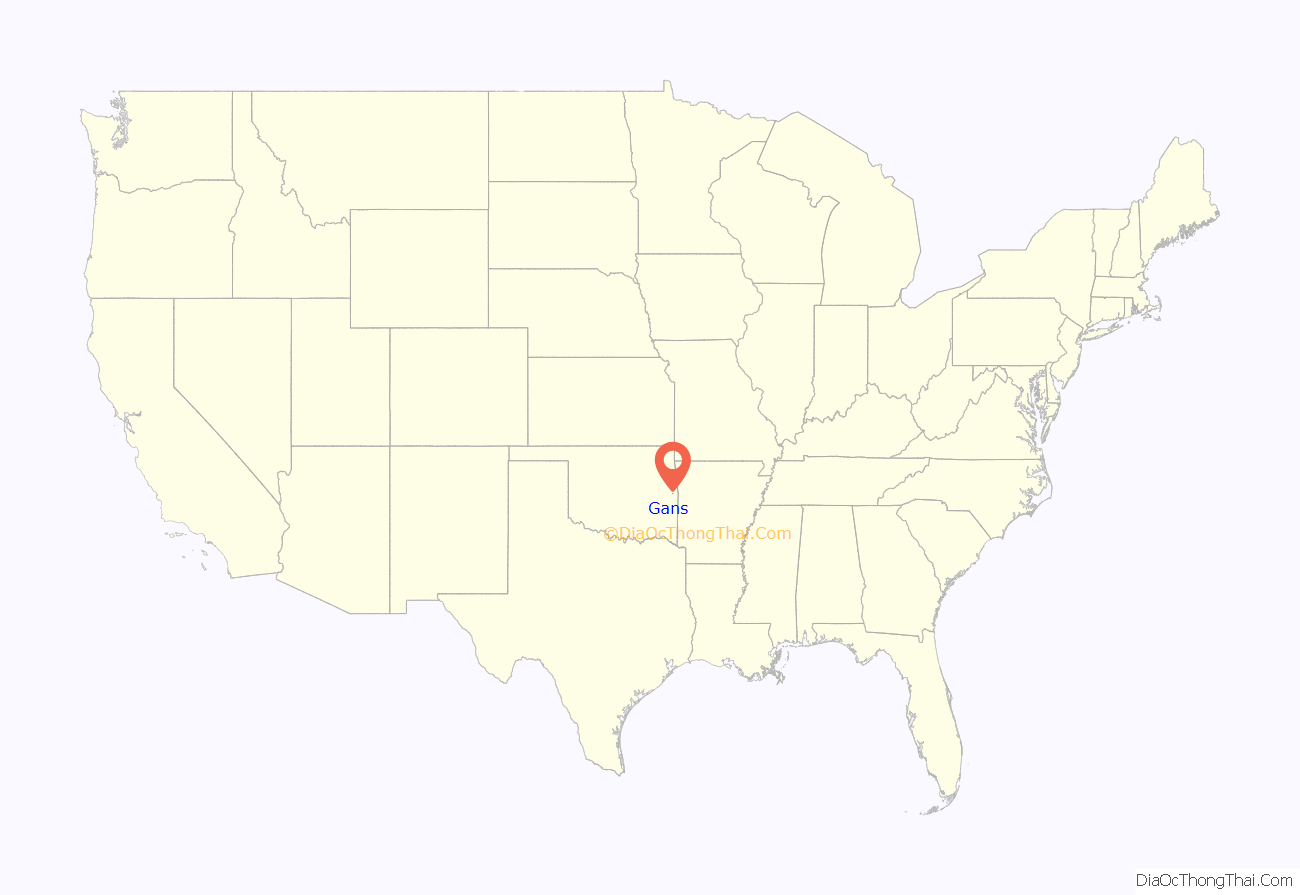
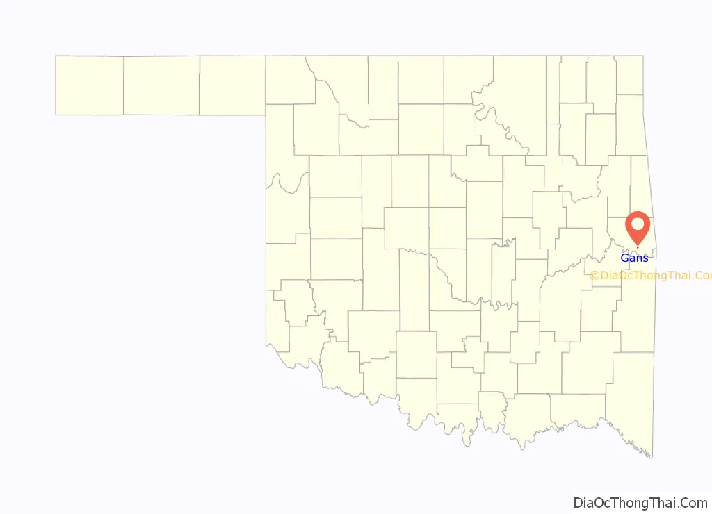
Gans location map. Where is Gans town?
History
Gans was originally a dispersed settlement in the Sequoyah District of the Cherokee Nation in Indian Territory known as Jack Town. It was renamed Gann in the late 19th century for three brothers, Charlie, Swimmer, and Tom Gann, who settled there. The Kansas City, Pittsburg and Gulf Railroad built a line through the area during 1895-6 and requested that the name be changed to Gans, since it already had two other locations named Gann.
Gans incorporated in the Cherokee Nation in 1902. It lost this status in 1933. It reincorporated in 1953. The town was seriously damaged by a tornado in 1957, but later rebuilt.
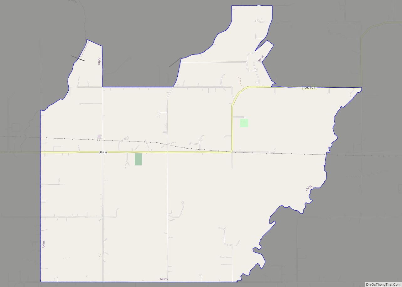
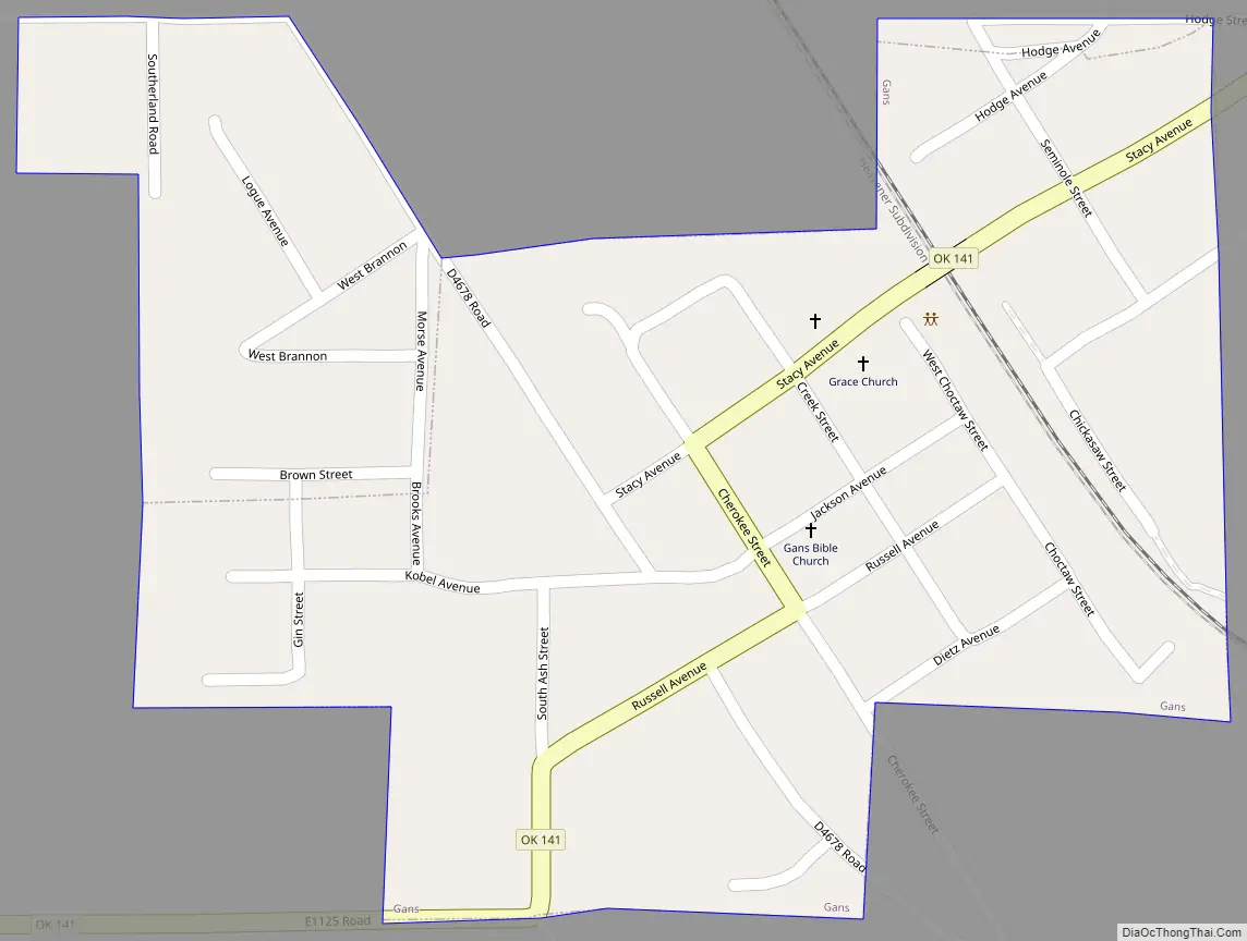
Gans Road Map
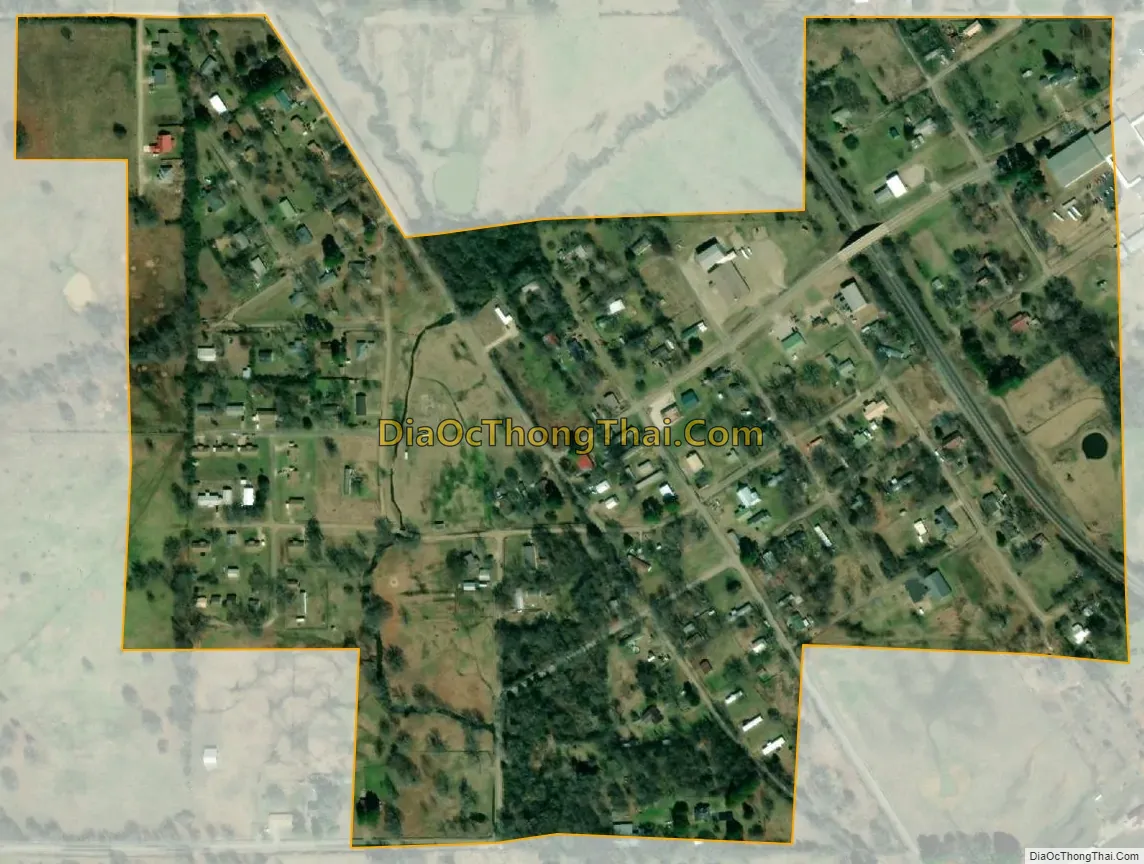
Gans city Satellite Map
Geography
Gans is located at 35°23′14″N 94°41′38″W / 35.38722°N 94.69389°W / 35.38722; -94.69389 (35.387207, -94.693871). It is 7 miles (11 km) southeast of Sallisaw. The post office, established in 1896, was also renamed Gans.
According to the United States Census Bureau, the town has a total area of 0.2 square miles (0.52 km), all land.
See also
Map of Oklahoma State and its subdivision:- Adair
- Alfalfa
- Atoka
- Beaver
- Beckham
- Blaine
- Bryan
- Caddo
- Canadian
- Carter
- Cherokee
- Choctaw
- Cimarron
- Cleveland
- Coal
- Comanche
- Cotton
- Craig
- Creek
- Custer
- Delaware
- Dewey
- Ellis
- Garfield
- Garvin
- Grady
- Grant
- Greer
- Harmon
- Harper
- Haskell
- Hughes
- Jackson
- Jefferson
- Johnston
- Kay
- Kingfisher
- Kiowa
- Latimer
- Le Flore
- Lincoln
- Logan
- Love
- Major
- Marshall
- Mayes
- McClain
- McCurtain
- McIntosh
- Murray
- Muskogee
- Noble
- Nowata
- Okfuskee
- Oklahoma
- Okmulgee
- Osage
- Ottawa
- Pawnee
- Payne
- Pittsburg
- Pontotoc
- Pottawatomie
- Pushmataha
- Roger Mills
- Rogers
- Seminole
- Sequoyah
- Stephens
- Texas
- Tillman
- Tulsa
- Wagoner
- Washington
- Washita
- Woods
- Woodward
- Alabama
- Alaska
- Arizona
- Arkansas
- California
- Colorado
- Connecticut
- Delaware
- District of Columbia
- Florida
- Georgia
- Hawaii
- Idaho
- Illinois
- Indiana
- Iowa
- Kansas
- Kentucky
- Louisiana
- Maine
- Maryland
- Massachusetts
- Michigan
- Minnesota
- Mississippi
- Missouri
- Montana
- Nebraska
- Nevada
- New Hampshire
- New Jersey
- New Mexico
- New York
- North Carolina
- North Dakota
- Ohio
- Oklahoma
- Oregon
- Pennsylvania
- Rhode Island
- South Carolina
- South Dakota
- Tennessee
- Texas
- Utah
- Vermont
- Virginia
- Washington
- West Virginia
- Wisconsin
- Wyoming