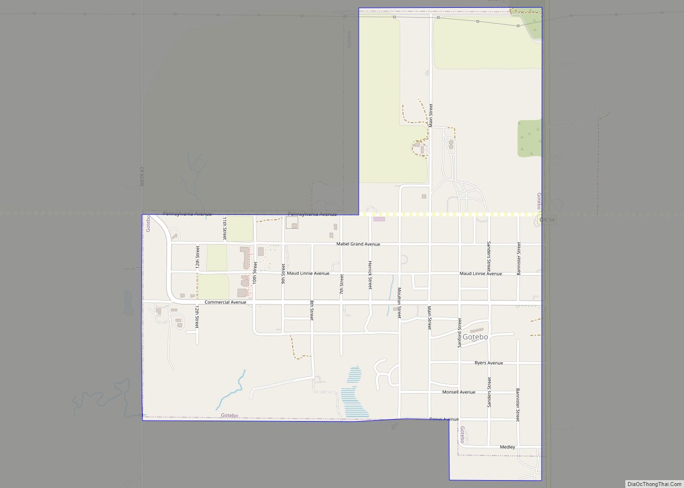
Gotebo /ˈɡoʊtɪboʊ/ is a town in Kiowa County, Oklahoma, United States. The population was 226 at the 2010 census, a decline of 16.9 percent from 272 in 2000.
The town is named after the notable Kiowa Indian named Gotebo (1847 – 1927) (in Kiowa, [kʼóːdebõhõn]).
| Name: | Gotebo town |
|---|---|
| LSAD Code: | 43 |
| LSAD Description: | town (suffix) |
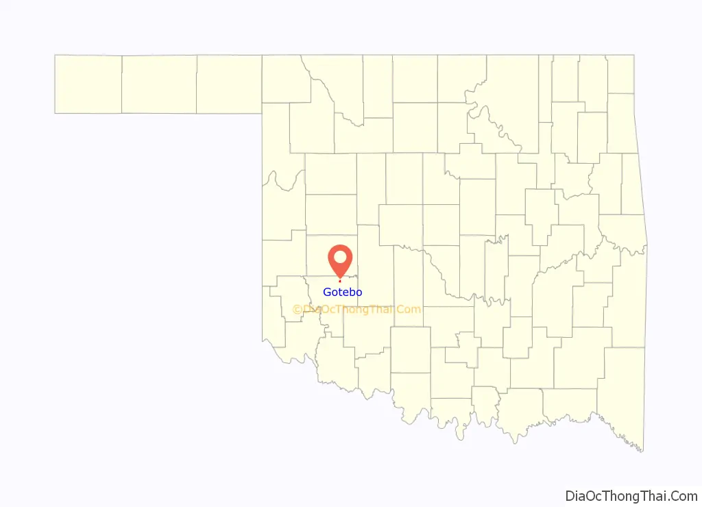
| State: | Oklahoma |
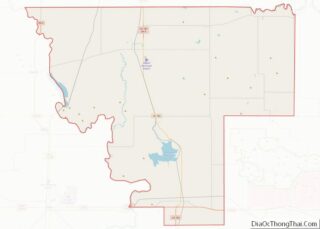
| County: | Kiowa County |
| Elevation: | 1,434 ft (437 m) |
| Total Area: | 0.79 sq mi (2.04 km²) |
| Land Area: | 0.79 sq mi (2.04 km²) |
| Water Area: | 0.00 sq mi (0.00 km²) |
| Total Population: | 174 |
| Population Density: | 220.53/sq mi (85.20/km²) |
| ZIP code: | 73041 |
| Area code: | 580 |
| FIPS code: | 4030350 |
| GNISfeature ID: | 1093272 |
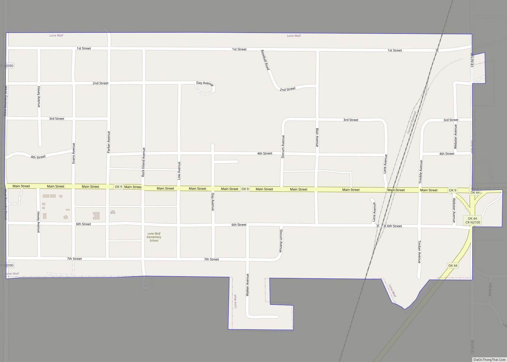
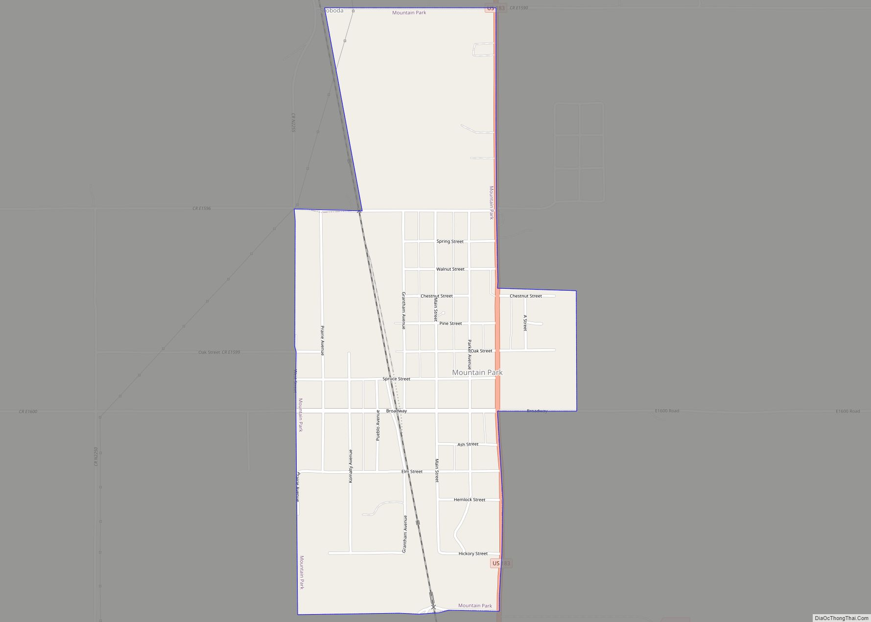
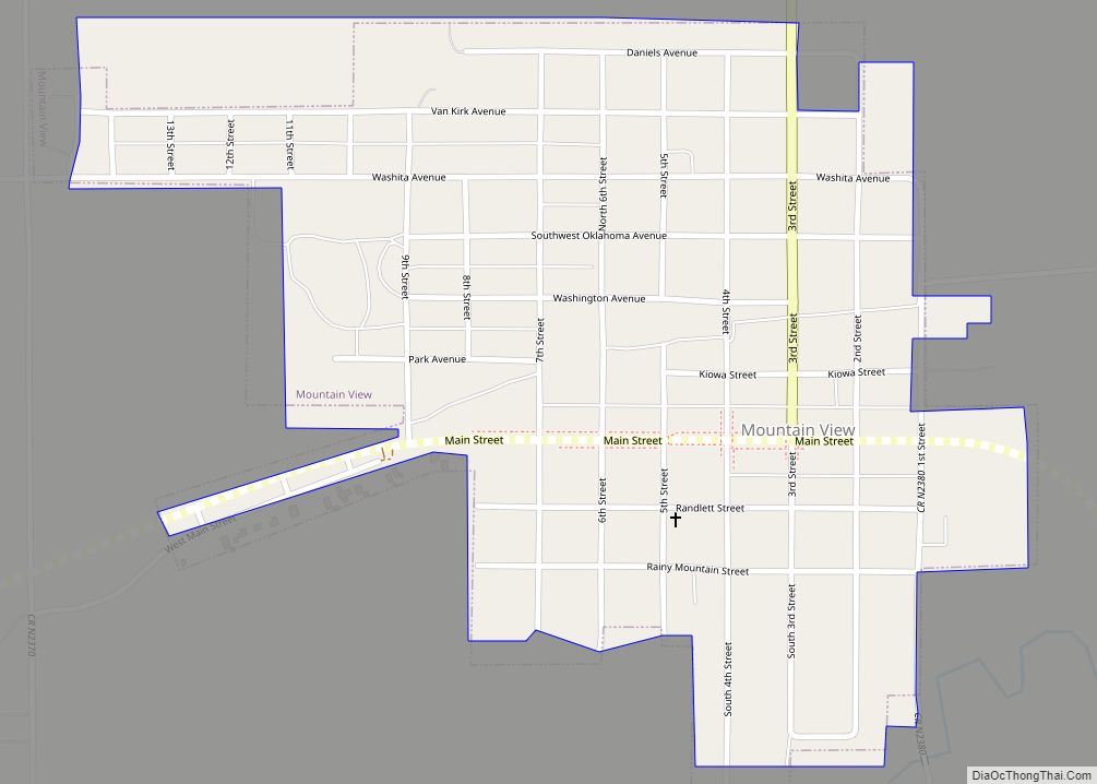
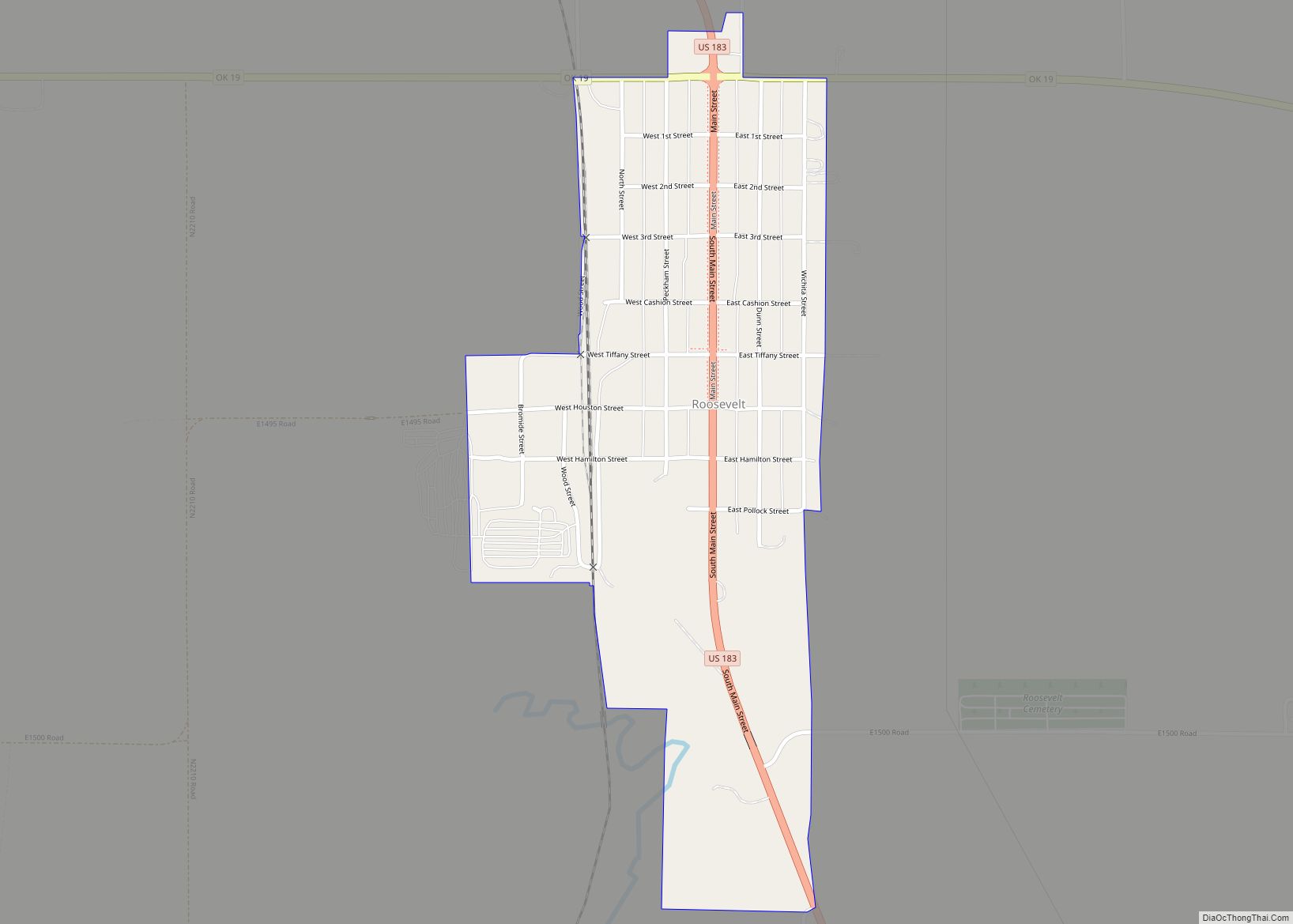
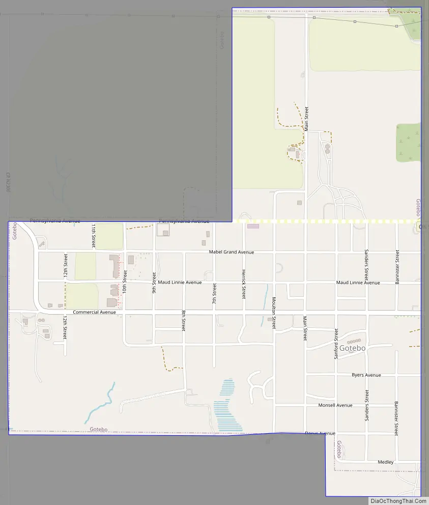
Online Interactive Map
Click on ![]() to view map in "full screen" mode.
to view map in "full screen" mode.
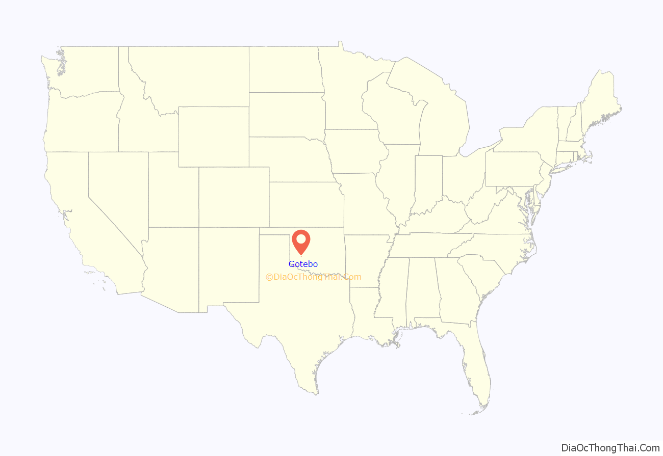
Gotebo location map. Where is Gotebo town?
History
The town now known as Gotebo was originally named Harrison (honoring President Benjamin Harrison) when it was founded in August 1901, during the opening of the Kiowa, Comanche, and Apache Reservation. A railroad station had been built nearby a few months before, which officials of the Chicago, Rock Island and Pacific Railway had named Gotebo, in honor of a well-respected Kiowa chief. He was one of the first Kiowa baptized at the Rainy Mountain Church, and was buried at the Rainy Mountain Indian Cemetery, between Gotebo and Mountain View. The name of the post office was soon changed from Harrison to Gotebo, and the town incorporated under the latter name.
Gotebo Road Map
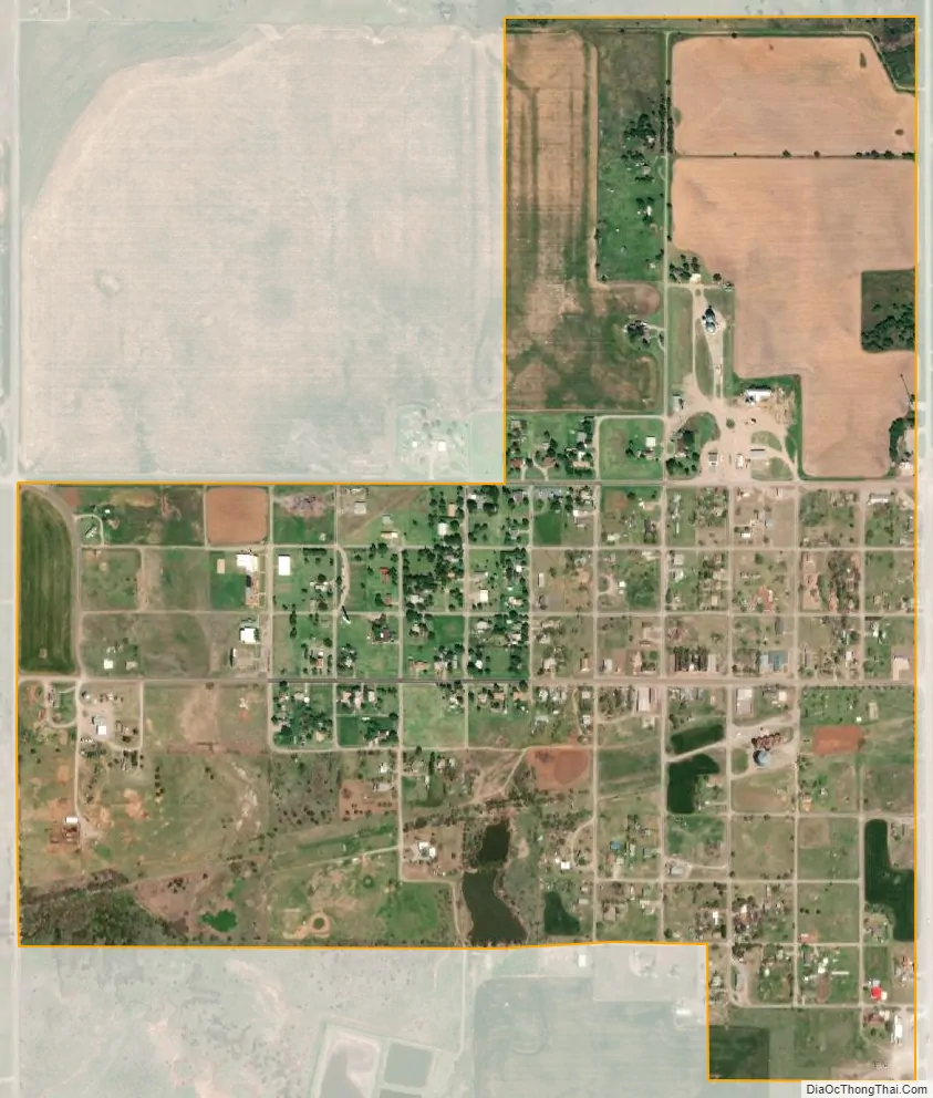
Gotebo city Satellite Map
Geography
Gotebo is located at 35°4′12″N 98°52′27″W / 35.07000°N 98.87417°W / 35.07000; -98.87417 (35.070094, -98.874163). It is 39 miles (63 km) southeast of Clinton and 51 miles (82 km) northwest of Lawton.
According to the United States Census Bureau, the town has a total area of 0.8 square miles (2.1 km), all land.
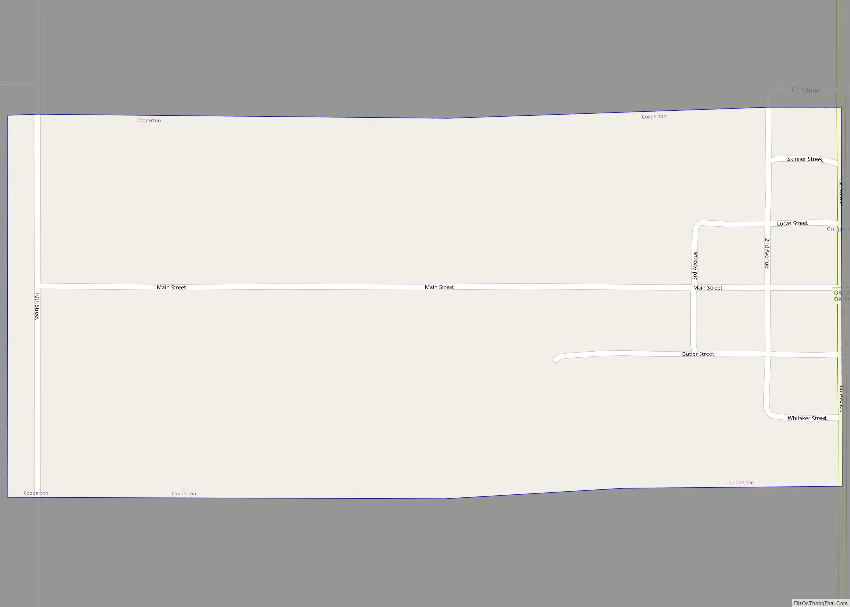
See also
Map of Oklahoma State and its subdivision:- Adair
- Alfalfa
- Atoka
- Beaver
- Beckham
- Blaine
- Bryan
- Caddo
- Canadian
- Carter
- Cherokee
- Choctaw
- Cimarron
- Cleveland
- Coal
- Comanche
- Cotton
- Craig
- Creek
- Custer
- Delaware
- Dewey
- Ellis
- Garfield
- Garvin
- Grady
- Grant
- Greer
- Harmon
- Harper
- Haskell
- Hughes
- Jackson
- Jefferson
- Johnston
- Kay
- Kingfisher
- Kiowa
- Latimer
- Le Flore
- Lincoln
- Logan
- Love
- Major
- Marshall
- Mayes
- McClain
- McCurtain
- McIntosh
- Murray
- Muskogee
- Noble
- Nowata
- Okfuskee
- Oklahoma
- Okmulgee
- Osage
- Ottawa
- Pawnee
- Payne
- Pittsburg
- Pontotoc
- Pottawatomie
- Pushmataha
- Roger Mills
- Rogers
- Seminole
- Sequoyah
- Stephens
- Texas
- Tillman
- Tulsa
- Wagoner
- Washington
- Washita
- Woods
- Woodward
- Alabama
- Alaska
- Arizona
- Arkansas
- California
- Colorado
- Connecticut
- Delaware
- District of Columbia
- Florida
- Georgia
- Hawaii
- Idaho
- Illinois
- Indiana
- Iowa
- Kansas
- Kentucky
- Louisiana
- Maine
- Maryland
- Massachusetts
- Michigan
- Minnesota
- Mississippi
- Missouri
- Montana
- Nebraska
- Nevada
- New Hampshire
- New Jersey
- New Mexico
- New York
- North Carolina
- North Dakota
- Ohio
- Oklahoma
- Oregon
- Pennsylvania
- Rhode Island
- South Carolina
- South Dakota
- Tennessee
- Texas
- Utah
- Vermont
- Virginia
- Washington
- West Virginia
- Wisconsin
- Wyoming