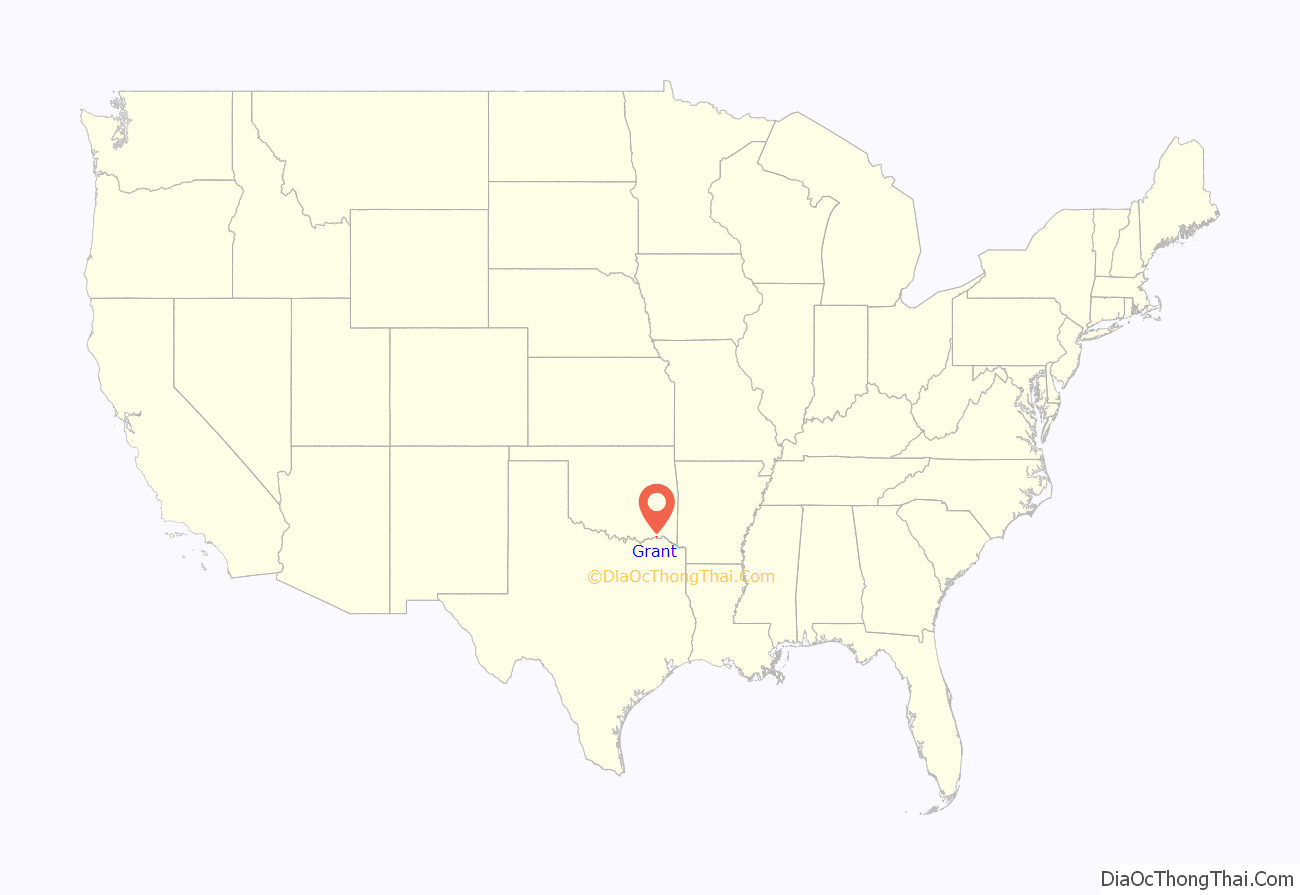
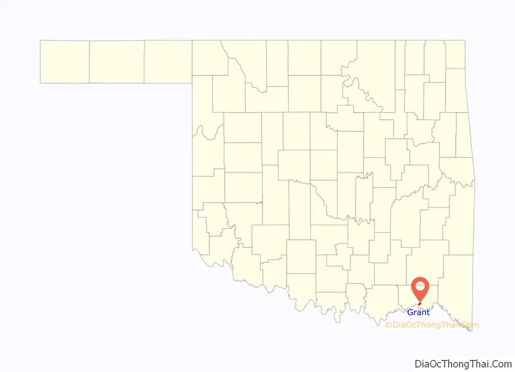
Grant is an unincorporated community in Choctaw County, Oklahoma, United States. It is located along U.S. Route 271, south of Hugo. As of the 2010 census it had a population of 289.
| Name: | Grant CDP |
|---|---|
| LSAD Code: | 57 |
| LSAD Description: | CDP (suffix) |
| State: | Oklahoma |
| County: | Choctaw County |
| Elevation: | 465 ft (142 m) |
| Total Area: | 1.91 sq mi (4.95 km²) |
| Land Area: | 1.88 sq mi (4.86 km²) |
| Water Area: | 0.03 sq mi (0.08 km²) |
| Total Population: | 190 |
| Population Density: | 101.17/sq mi (39.06/km²) |
| ZIP code: | 74738 |
| FIPS code: | 4031000 |
| GNISfeature ID: | 1093317 |
Online Interactive Map
Click on ![]() to view map in "full screen" mode.
to view map in "full screen" mode.
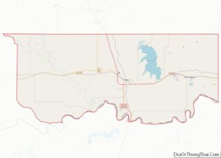
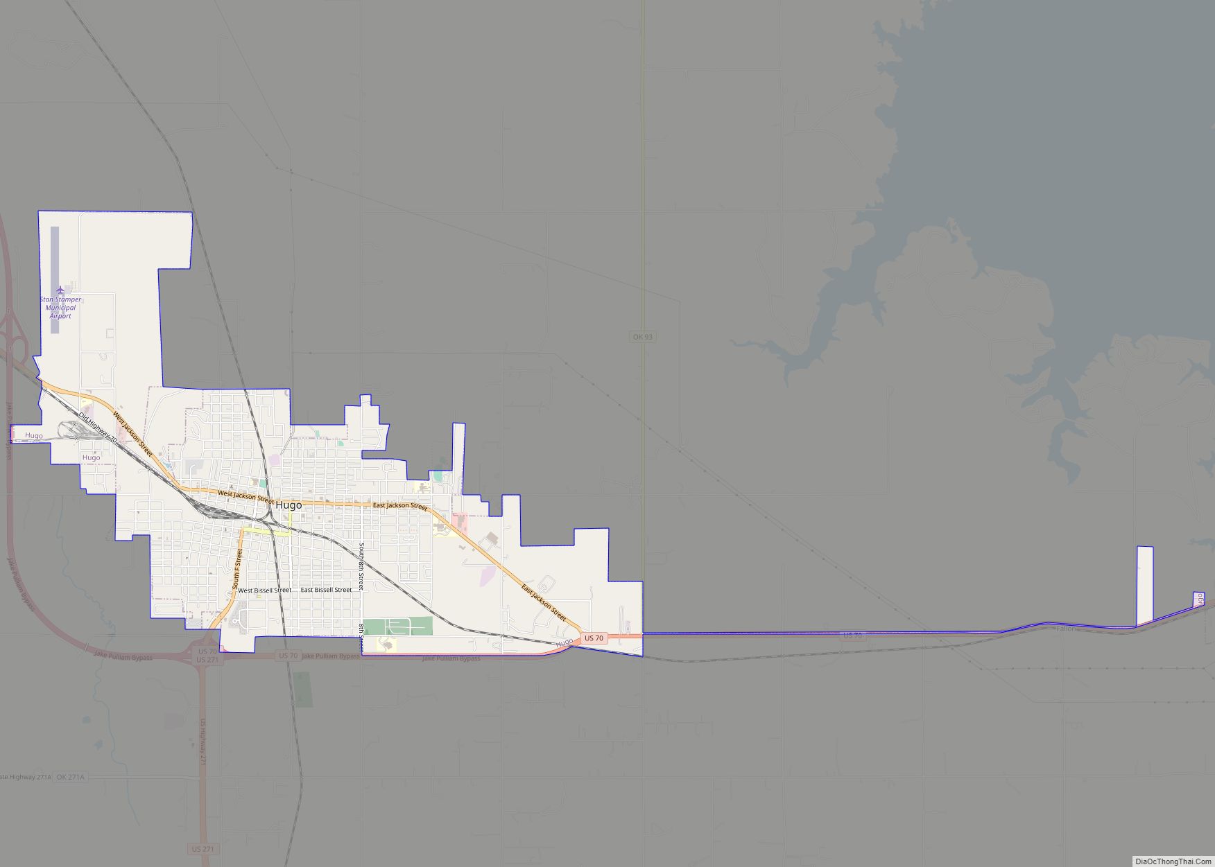
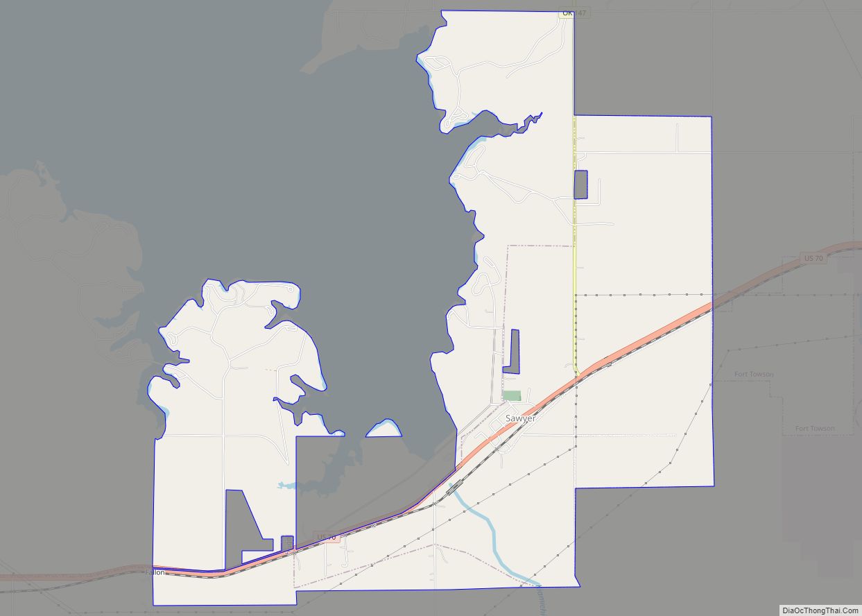
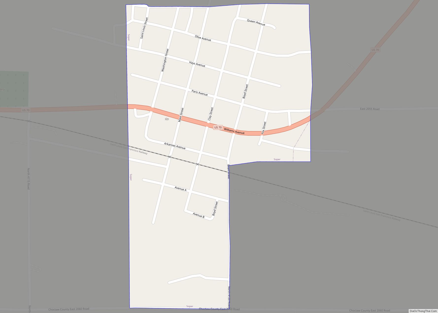
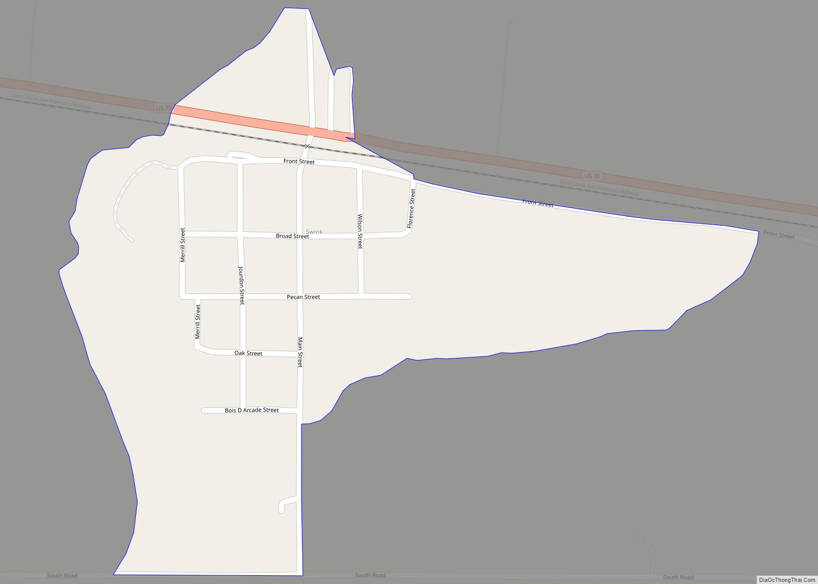
Grant location map. Where is Grant CDP?
History
The community was founded as a station stop on the St. Louis and San Francisco Railroad, which opened through the Indian Territory in June 1887. A post office opened at Grant, Indian Territory on January 31, 1889. It was named for President Ulysses S. Grant.
At the time of its founding, Grant was located in Kiamitia County, a part of the Apukshunnubbee District of the Choctaw Nation.
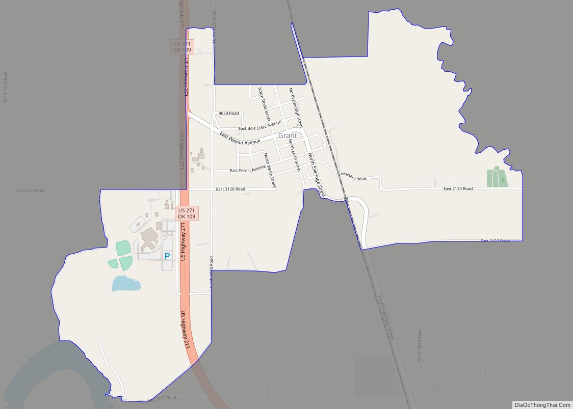
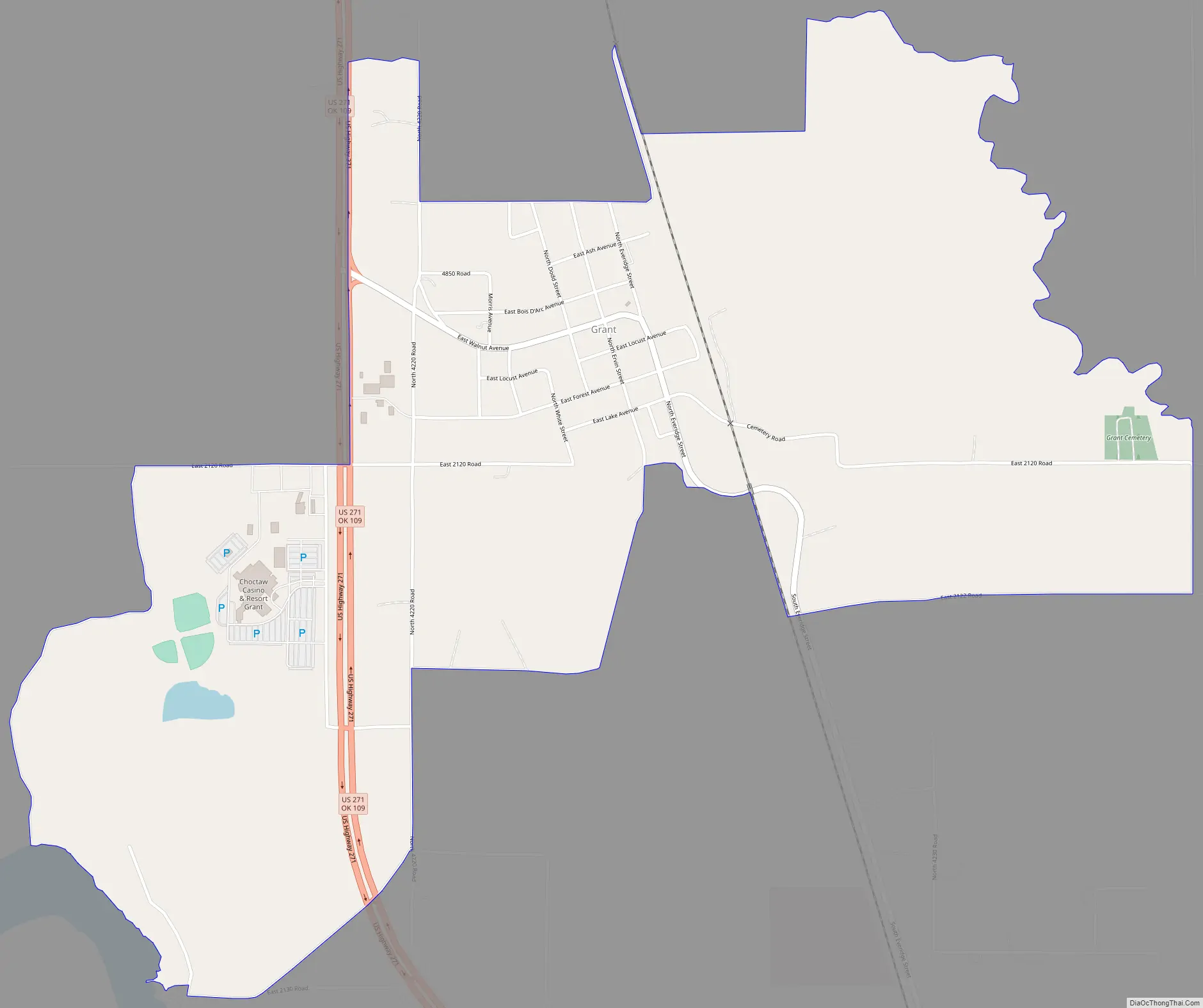
Grant Road Map
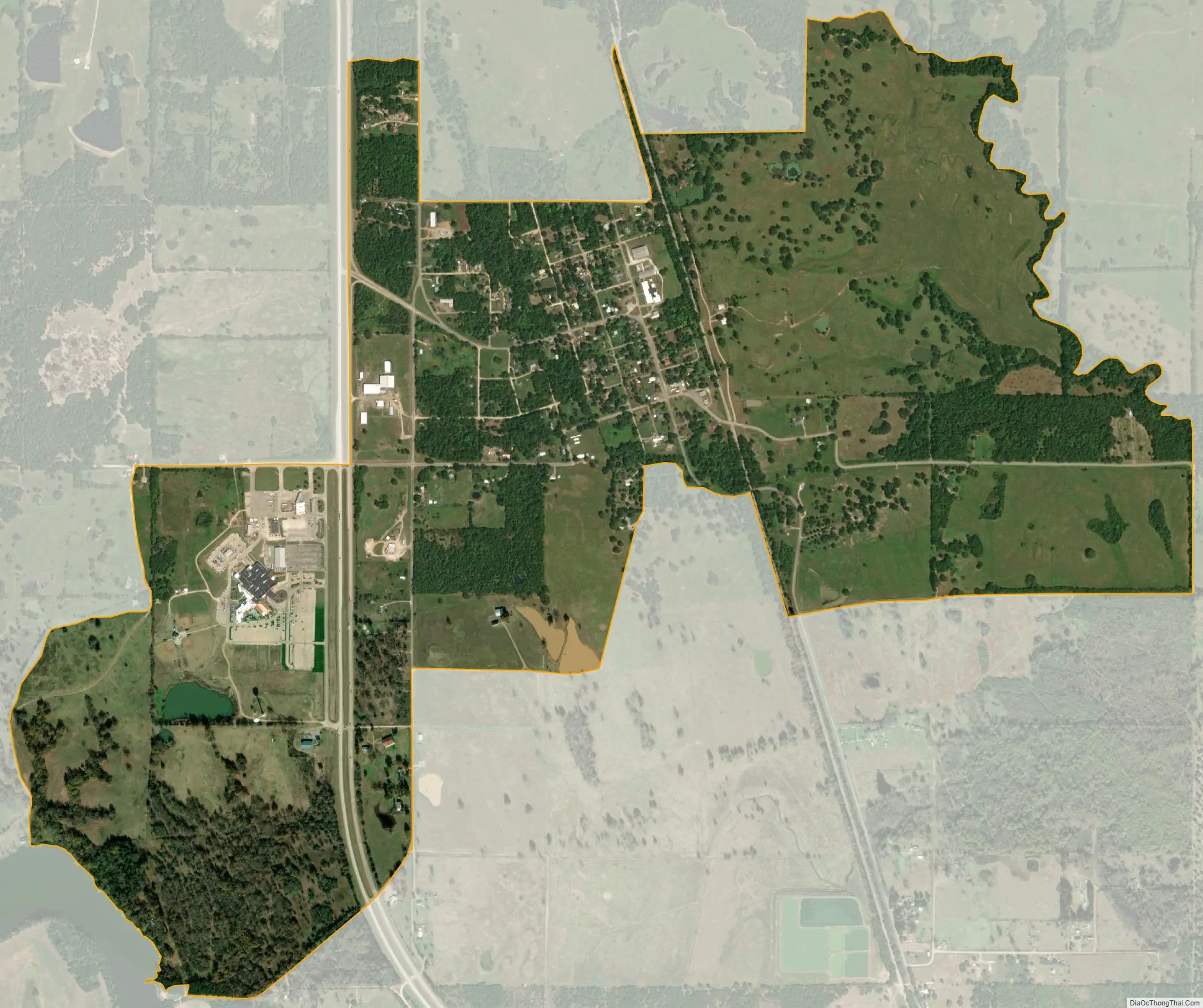
Grant city Satellite Map
See also
Map of Oklahoma State and its subdivision:- Adair
- Alfalfa
- Atoka
- Beaver
- Beckham
- Blaine
- Bryan
- Caddo
- Canadian
- Carter
- Cherokee
- Choctaw
- Cimarron
- Cleveland
- Coal
- Comanche
- Cotton
- Craig
- Creek
- Custer
- Delaware
- Dewey
- Ellis
- Garfield
- Garvin
- Grady
- Grant
- Greer
- Harmon
- Harper
- Haskell
- Hughes
- Jackson
- Jefferson
- Johnston
- Kay
- Kingfisher
- Kiowa
- Latimer
- Le Flore
- Lincoln
- Logan
- Love
- Major
- Marshall
- Mayes
- McClain
- McCurtain
- McIntosh
- Murray
- Muskogee
- Noble
- Nowata
- Okfuskee
- Oklahoma
- Okmulgee
- Osage
- Ottawa
- Pawnee
- Payne
- Pittsburg
- Pontotoc
- Pottawatomie
- Pushmataha
- Roger Mills
- Rogers
- Seminole
- Sequoyah
- Stephens
- Texas
- Tillman
- Tulsa
- Wagoner
- Washington
- Washita
- Woods
- Woodward
- Alabama
- Alaska
- Arizona
- Arkansas
- California
- Colorado
- Connecticut
- Delaware
- District of Columbia
- Florida
- Georgia
- Hawaii
- Idaho
- Illinois
- Indiana
- Iowa
- Kansas
- Kentucky
- Louisiana
- Maine
- Maryland
- Massachusetts
- Michigan
- Minnesota
- Mississippi
- Missouri
- Montana
- Nebraska
- Nevada
- New Hampshire
- New Jersey
- New Mexico
- New York
- North Carolina
- North Dakota
- Ohio
- Oklahoma
- Oregon
- Pennsylvania
- Rhode Island
- South Carolina
- South Dakota
- Tennessee
- Texas
- Utah
- Vermont
- Virginia
- Washington
- West Virginia
- Wisconsin
- Wyoming