Hoot Owl is a town in Mayes County, Oklahoma, United States and the smallest town in the state.
| Name: | Hoot Owl town |
|---|---|
| LSAD Code: | 43 |
| LSAD Description: | town (suffix) |
| State: | Oklahoma |
| County: | Mayes County |
| Elevation: | 709 ft (216 m) |
| Total Area: | 0.06 sq mi (0.16 km²) |
| Land Area: | 0.06 sq mi (0.15 km²) |
| Water Area: | 0.00 sq mi (0.00 km²) |
| Total Population: | 0 |
| Population Density: | 0.00/sq mi (0.00/km²) |
| FIPS code: | 4036020 |
| GNISfeature ID: | 1102939 |
Online Interactive Map
Click on ![]() to view map in "full screen" mode.
to view map in "full screen" mode.
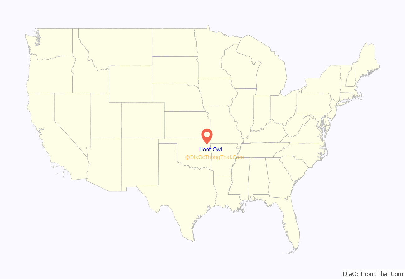
Hoot Owl location map. Where is Hoot Owl town?
History
Hoot Owl was incorporated in 1977 by a family of three in order to “keep trespassing hunters and other towns from encroaching on their land.” In 1992, the town filed to be dissolved after a bank foreclosed the property and the towns two residents mayor and founder William R. Bradley Jr. and his son, city clerk Robert Bradley, both voted in favor of dissolution. The foreclosing bank filed suit and successfully blocked the dissolution in 1993. The town was then sold to a Tulsa doctor, Thomas Robert, in 1994. Robert told interviewers he intended to use the town as a weekend home.
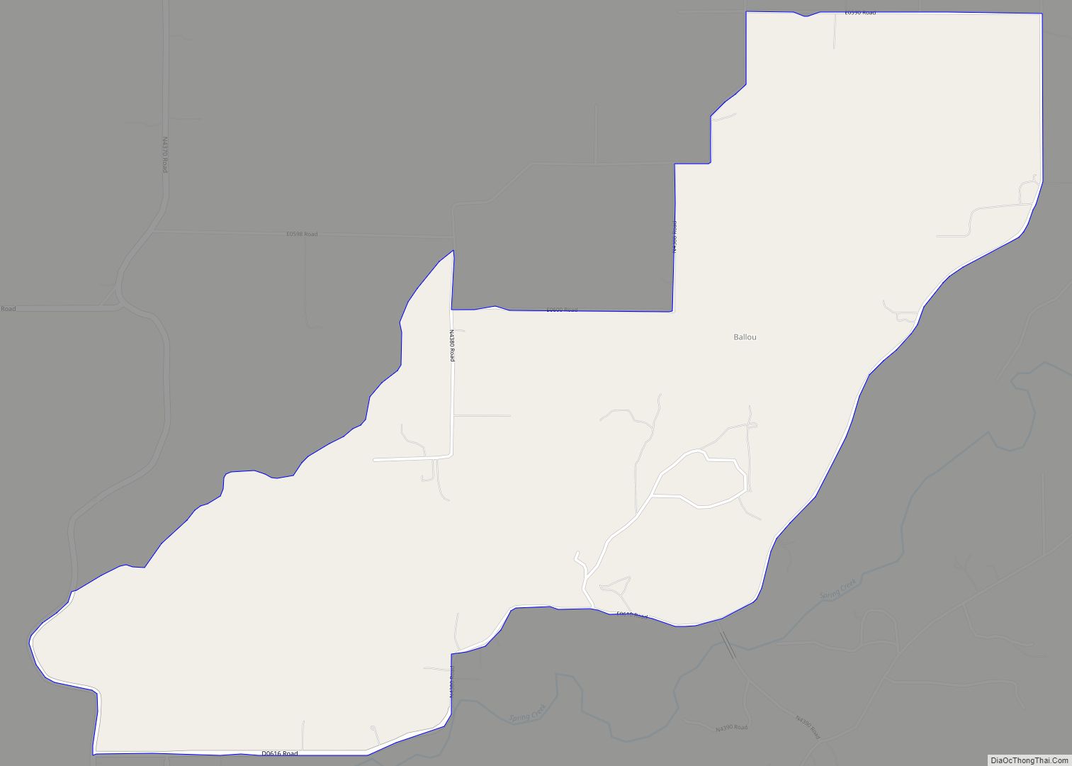
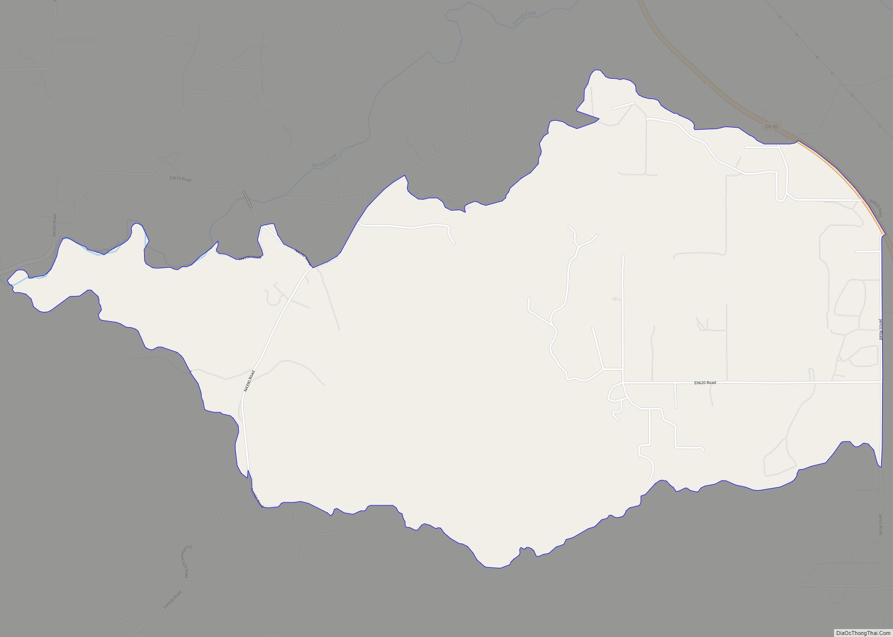
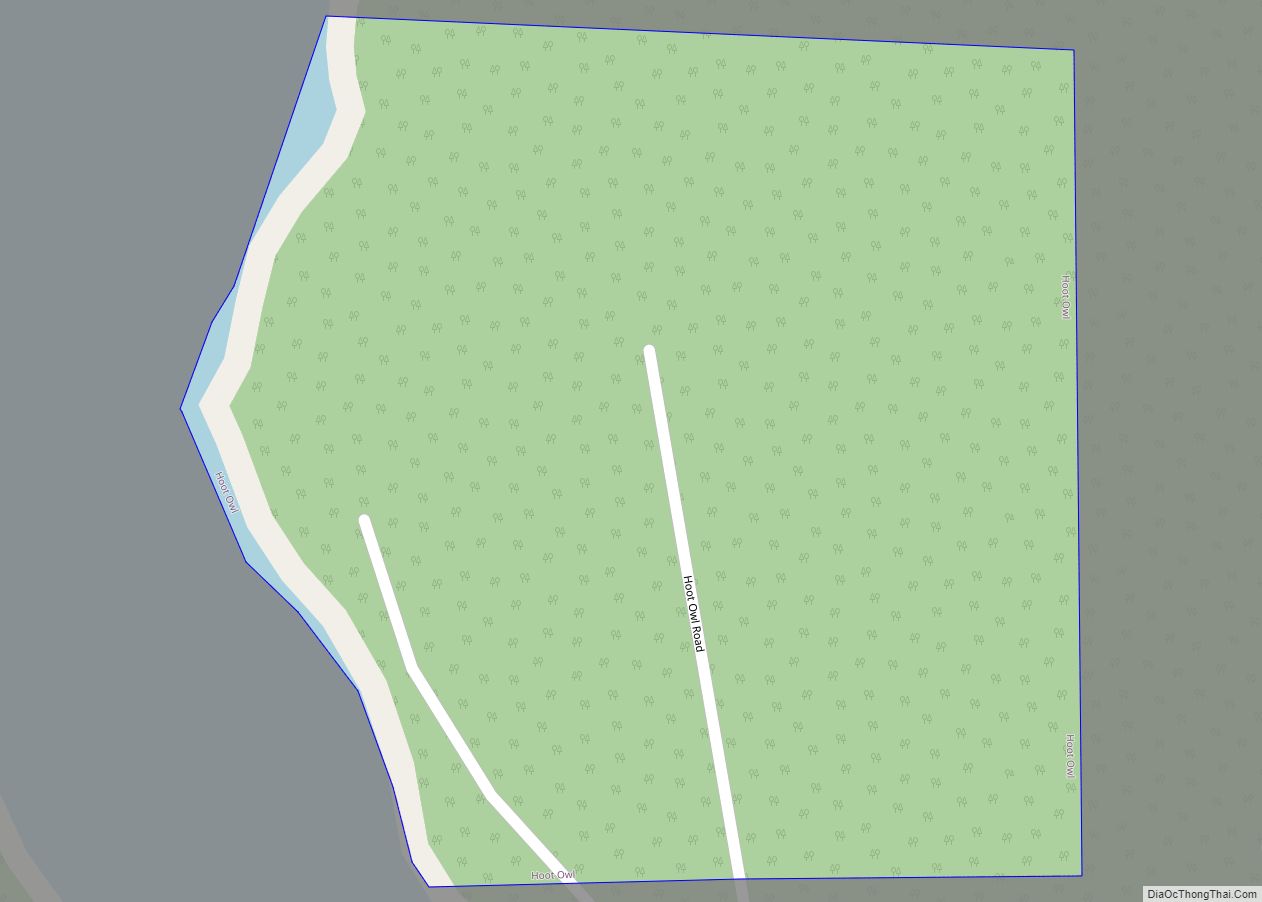
Hoot Owl Road Map
Hoot Owl city Satellite Map
Geography
According to the United States Census Bureau, the site has a total area of 0.1 square miles (0.26 km), all land. The town is located at 36.35995 N, 95.12137 W. Mapping services put it off Oklahoma State Highway 20, on the eastern shore of Lake Hudson on “Hoot Owl Road,” but the narrow dead-end road is simply designated as No. 443.5.
See also
Map of Oklahoma State and its subdivision:- Adair
- Alfalfa
- Atoka
- Beaver
- Beckham
- Blaine
- Bryan
- Caddo
- Canadian
- Carter
- Cherokee
- Choctaw
- Cimarron
- Cleveland
- Coal
- Comanche
- Cotton
- Craig
- Creek
- Custer
- Delaware
- Dewey
- Ellis
- Garfield
- Garvin
- Grady
- Grant
- Greer
- Harmon
- Harper
- Haskell
- Hughes
- Jackson
- Jefferson
- Johnston
- Kay
- Kingfisher
- Kiowa
- Latimer
- Le Flore
- Lincoln
- Logan
- Love
- Major
- Marshall
- Mayes
- McClain
- McCurtain
- McIntosh
- Murray
- Muskogee
- Noble
- Nowata
- Okfuskee
- Oklahoma
- Okmulgee
- Osage
- Ottawa
- Pawnee
- Payne
- Pittsburg
- Pontotoc
- Pottawatomie
- Pushmataha
- Roger Mills
- Rogers
- Seminole
- Sequoyah
- Stephens
- Texas
- Tillman
- Tulsa
- Wagoner
- Washington
- Washita
- Woods
- Woodward
- Alabama
- Alaska
- Arizona
- Arkansas
- California
- Colorado
- Connecticut
- Delaware
- District of Columbia
- Florida
- Georgia
- Hawaii
- Idaho
- Illinois
- Indiana
- Iowa
- Kansas
- Kentucky
- Louisiana
- Maine
- Maryland
- Massachusetts
- Michigan
- Minnesota
- Mississippi
- Missouri
- Montana
- Nebraska
- Nevada
- New Hampshire
- New Jersey
- New Mexico
- New York
- North Carolina
- North Dakota
- Ohio
- Oklahoma
- Oregon
- Pennsylvania
- Rhode Island
- South Carolina
- South Dakota
- Tennessee
- Texas
- Utah
- Vermont
- Virginia
- Washington
- West Virginia
- Wisconsin
- Wyoming
