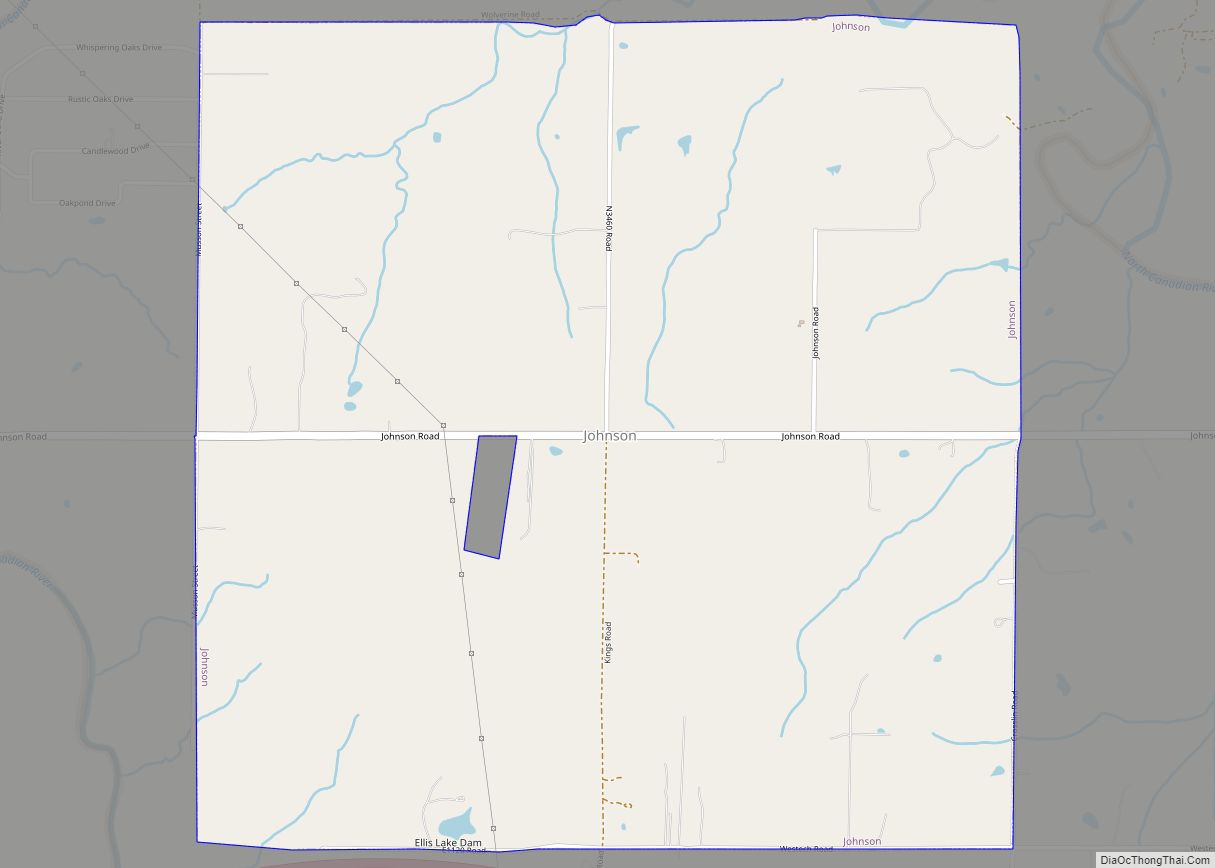
Johnson is a town in north-central Pottawatomie County, Oklahoma, United States. The population was 247 at the 2010 census, a 10.8 percent increase from the figure of 223 in 2000.
| Name: | Johnson town |
|---|---|
| LSAD Code: | 43 |
| LSAD Description: | town (suffix) |
| State: | Oklahoma |
| County: | Pottawatomie County |
| Elevation: | 1,040 ft (317 m) |
| Total Area: | 4.48 sq mi (11.59 km²) |
| Land Area: | 4.47 sq mi (11.58 km²) |
| Water Area: | 0.00 sq mi (0.01 km²) |
| Total Population: | 457 |
| Population Density: | 102.19/sq mi (39.45/km²) |
| FIPS code: | 4038200 |
| GNISfeature ID: | 1094244 |
Online Interactive Map
Click on ![]() to view map in "full screen" mode.
to view map in "full screen" mode.
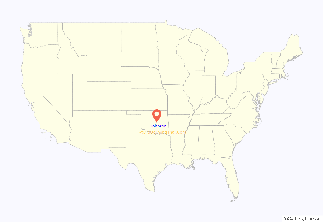
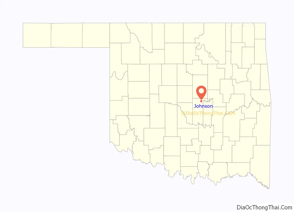
Johnson location map. Where is Johnson town?
History
In 1982 residents decided to incorporate to stop Shawnee’s plans to establish a landfill near the Johnson community. On May 11, 1982, citizens voted 77 to 40 in favor of incorporation.
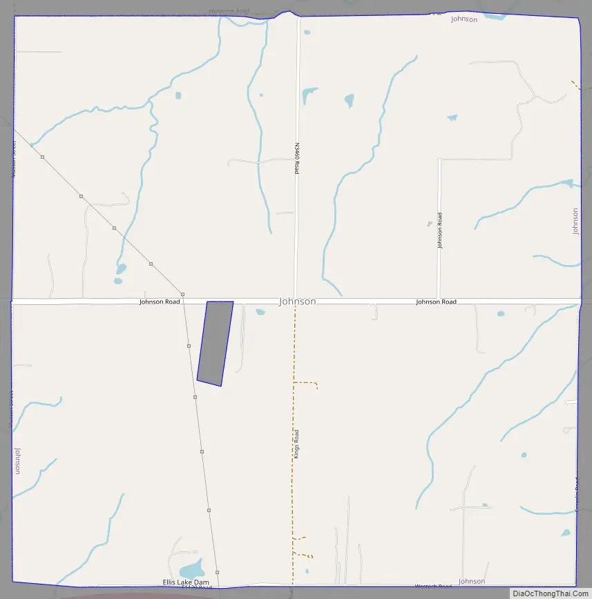
Johnson Road Map
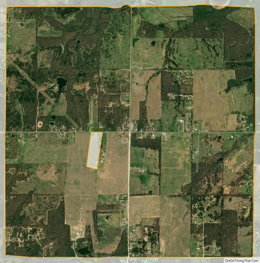
Johnson city Satellite Map
Geography
Johnson is located at 35°25′4″N 96°49′59″W / 35.41778°N 96.83306°W / 35.41778; -96.83306 (35.417703, -96.832953).
According to the United States Census Bureau, the town has a total area of 4.0 square miles (10 km), all land.
See also
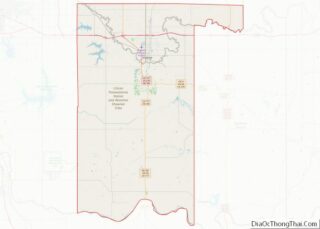
Map of Oklahoma State and its subdivision:- Adair
- Alfalfa
- Atoka
- Beaver
- Beckham
- Blaine
- Bryan
- Caddo
- Canadian
- Carter
- Cherokee
- Choctaw
- Cimarron
- Cleveland
- Coal
- Comanche
- Cotton
- Craig
- Creek
- Custer
- Delaware
- Dewey
- Ellis
- Garfield
- Garvin
- Grady
- Grant
- Greer
- Harmon
- Harper
- Haskell
- Hughes
- Jackson
- Jefferson
- Johnston
- Kay
- Kingfisher
- Kiowa
- Latimer
- Le Flore
- Lincoln
- Logan
- Love
- Major
- Marshall
- Mayes
- McClain
- McCurtain
- McIntosh
- Murray
- Muskogee
- Noble
- Nowata
- Okfuskee
- Oklahoma
- Okmulgee
- Osage
- Ottawa
- Pawnee
- Payne
- Pittsburg
- Pontotoc
- Pottawatomie
- Pushmataha
- Roger Mills
- Rogers
- Seminole
- Sequoyah
- Stephens
- Texas
- Tillman
- Tulsa
- Wagoner
- Washington
- Washita
- Woods
- Woodward
- Alabama
- Alaska
- Arizona
- Arkansas
- California
- Colorado
- Connecticut
- Delaware
- District of Columbia
- Florida
- Georgia
- Hawaii
- Idaho
- Illinois
- Indiana
- Iowa
- Kansas
- Kentucky
- Louisiana
- Maine
- Maryland
- Massachusetts
- Michigan
- Minnesota
- Mississippi
- Missouri
- Montana
- Nebraska
- Nevada
- New Hampshire
- New Jersey
- New Mexico
- New York
- North Carolina
- North Dakota
- Ohio
- Oklahoma
- Oregon
- Pennsylvania
- Rhode Island
- South Carolina
- South Dakota
- Tennessee
- Texas
- Utah
- Vermont
- Virginia
- Washington
- West Virginia
- Wisconsin
- Wyoming