Lahoma is a town in Garfield County, Oklahoma, United States. The population was 611 at the 2010 census, a 5.9 percent gain over the figure of 577 in 2000. Its name was formed from the last three syllables of Oklahoma. Until the 1960s, Lahoma was a farm town. Later, it became primarily a bedroom community for people who commuted to work in Enid.
| Name: | Lahoma town |
|---|---|
| LSAD Code: | 43 |
| LSAD Description: | town (suffix) |
| State: | Oklahoma |
| County: | Garfield County |
| Elevation: | 1,250 ft (381 m) |
| Total Area: | 0.21 sq mi (0.55 km²) |
| Land Area: | 0.21 sq mi (0.55 km²) |
| Water Area: | 0.00 sq mi (0.00 km²) |
| Total Population: | 539 |
| Population Density: | 2,566.67/sq mi (988.70/km²) |
| ZIP code: | 73754 |
| Area code: | 580 |
| FIPS code: | 4040700 |
| GNISfeature ID: | 1094459 |
Online Interactive Map
Click on ![]() to view map in "full screen" mode.
to view map in "full screen" mode.
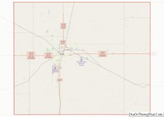
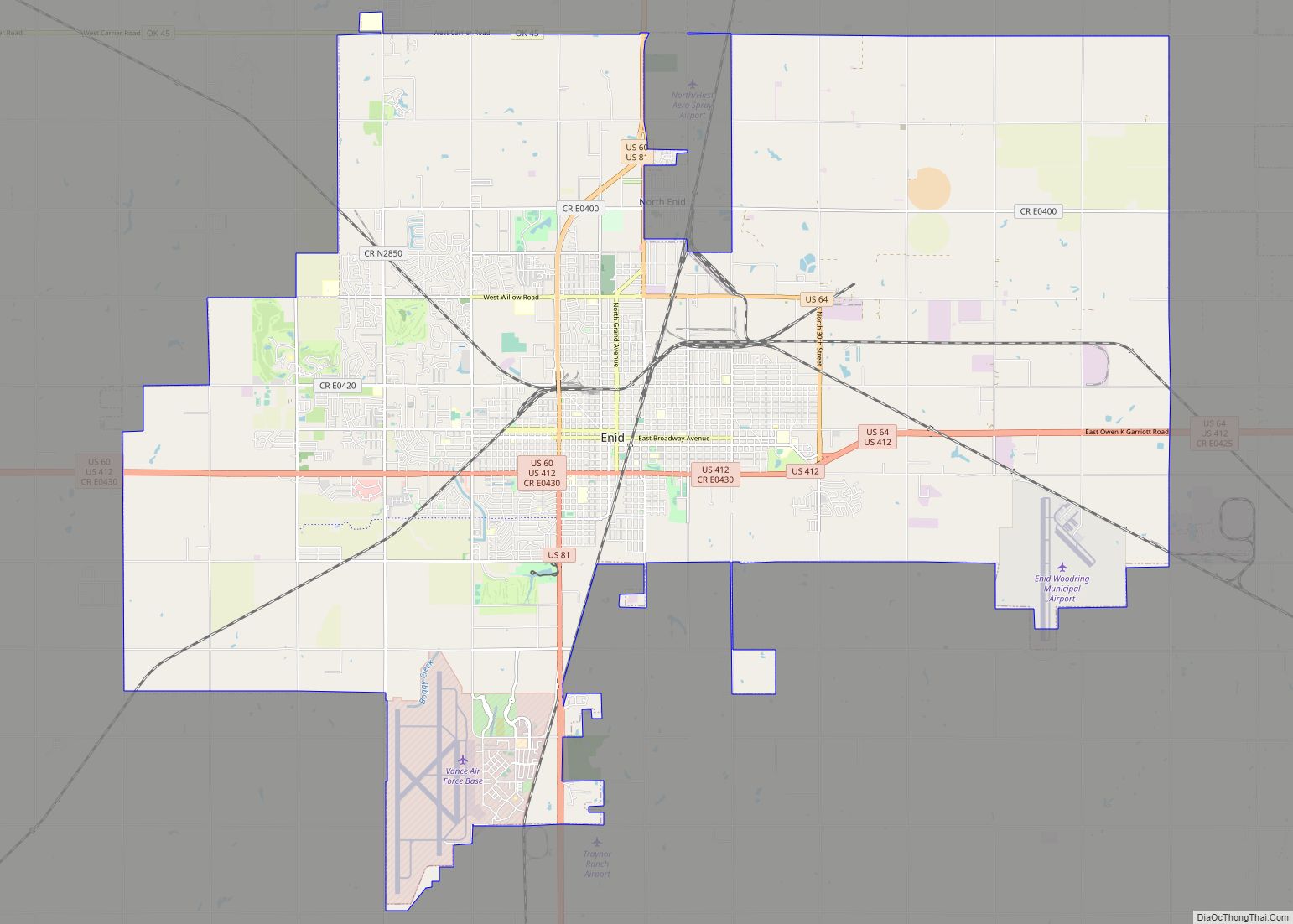
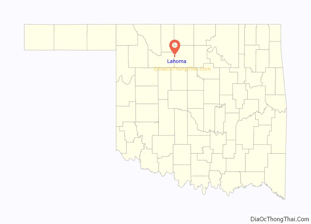
Lahoma location map. Where is Lahoma town?

History
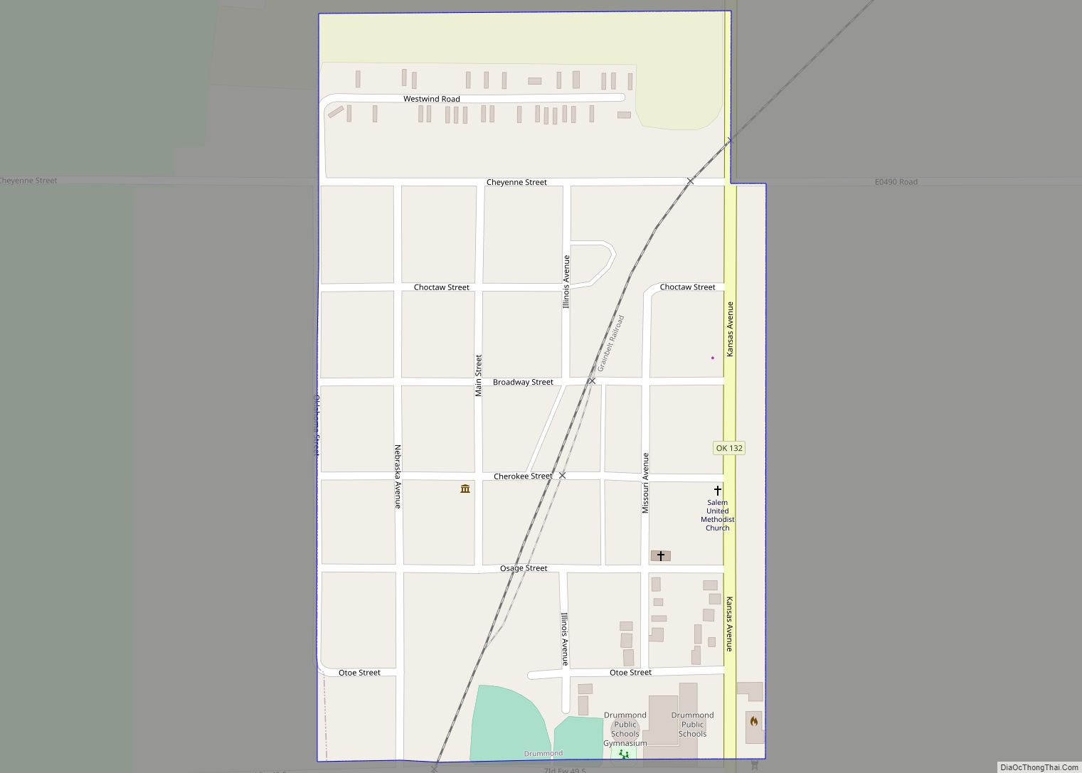
Lahoma was founded in 1894 after the 1893 Cherokee Outlet land run. The town was originally sited about one mile from its present location, but the town’s buildings, businesses, and homes were moved to the current location in 1901 to be adjacent to a newly laid railroad line.
Lahoma Road Map
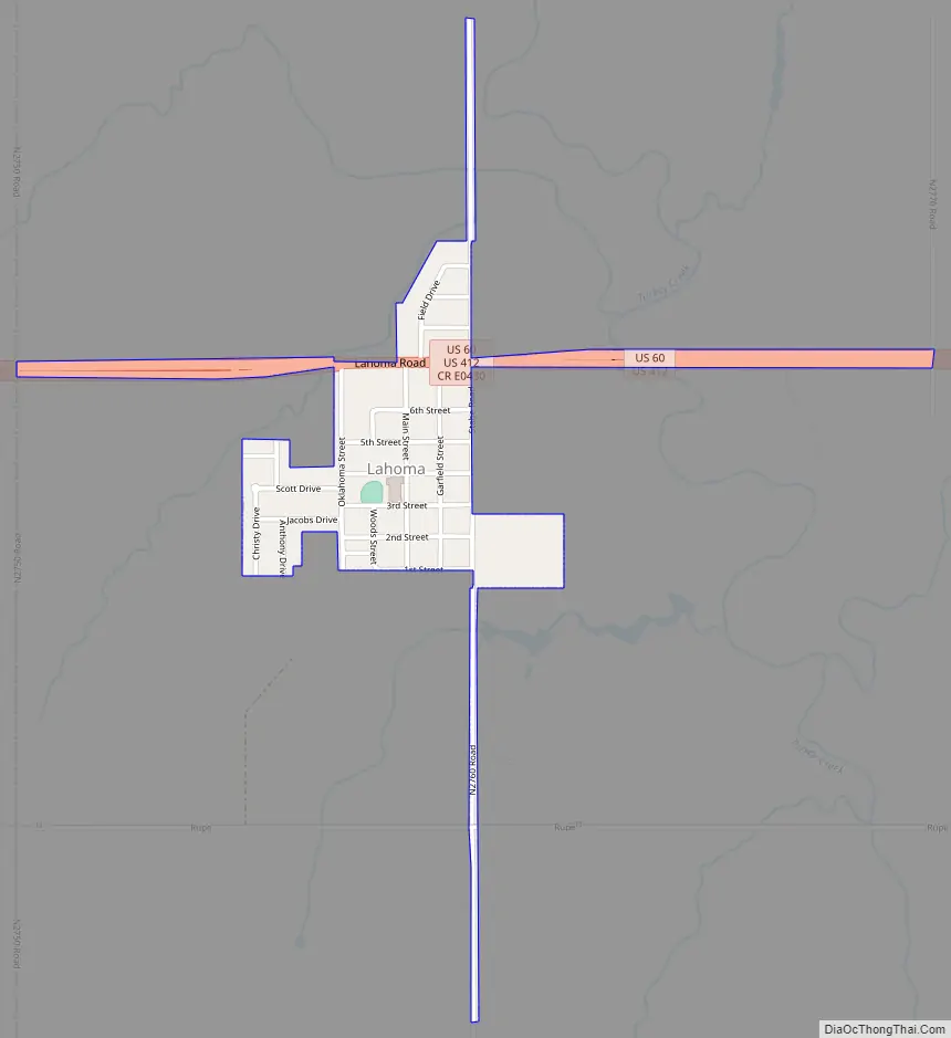
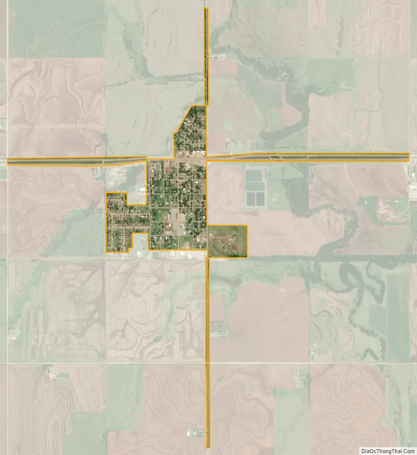
Lahoma city Satellite Map
Geography
Lahoma is located at 36°23′17″N 98°5′20″W / 36.38806°N 98.08889°W / 36.38806; -98.08889 (36.387928, -98.088752).
According to the United States Census Bureau, the town has a total area of 0.3 square miles (0.78 km), all land.
It lies in western Garfield County, 11 miles west of the county seat of Enid.
See also
Map of Oklahoma State and its subdivision:- Adair
- Alfalfa
- Atoka
- Beaver
- Beckham
- Blaine
- Bryan
- Caddo
- Canadian
- Carter
- Cherokee
- Choctaw
- Cimarron
- Cleveland
- Coal
- Comanche
- Cotton
- Craig
- Creek
- Custer
- Delaware
- Dewey
- Ellis
- Garfield
- Garvin
- Grady
- Grant
- Greer
- Harmon
- Harper
- Haskell
- Hughes
- Jackson
- Jefferson
- Johnston
- Kay
- Kingfisher
- Kiowa
- Latimer
- Le Flore
- Lincoln
- Logan
- Love
- Major
- Marshall
- Mayes
- McClain
- McCurtain
- McIntosh
- Murray
- Muskogee
- Noble
- Nowata
- Okfuskee
- Oklahoma
- Okmulgee
- Osage
- Ottawa
- Pawnee
- Payne
- Pittsburg
- Pontotoc
- Pottawatomie
- Pushmataha
- Roger Mills
- Rogers
- Seminole
- Sequoyah
- Stephens
- Texas
- Tillman
- Tulsa
- Wagoner
- Washington
- Washita
- Woods
- Woodward
- Alabama
- Alaska
- Arizona
- Arkansas
- California
- Colorado
- Connecticut
- Delaware
- District of Columbia
- Florida
- Georgia
- Hawaii
- Idaho
- Illinois
- Indiana
- Iowa
- Kansas
- Kentucky
- Louisiana
- Maine
- Maryland
- Massachusetts
- Michigan
- Minnesota
- Mississippi
- Missouri
- Montana
- Nebraska
- Nevada
- New Hampshire
- New Jersey
- New Mexico
- New York
- North Carolina
- North Dakota
- Ohio
- Oklahoma
- Oregon
- Pennsylvania
- Rhode Island
- South Carolina
- South Dakota
- Tennessee
- Texas
- Utah
- Vermont
- Virginia
- Washington
- West Virginia
- Wisconsin
- Wyoming