Longdale is a town in northwestern Blaine County, Oklahoma, United States. The population was 262 at the 2010 census, down 18.3 percent from the figure of 310 in 2000.
| Name: | Longdale town |
|---|---|
| LSAD Code: | 43 |
| LSAD Description: | town (suffix) |
| State: | Oklahoma |
| County: | Blaine County |
| Elevation: | 1,654 ft (504 m) |
| Total Area: | 0.26 sq mi (0.68 km²) |
| Land Area: | 0.26 sq mi (0.68 km²) |
| Water Area: | 0.00 sq mi (0.00 km²) |
| Total Population: | 186 |
| Population Density: | 704.55/sq mi (272.51/km²) |
| ZIP code: | 73755 |
| Area code: | 580 |
| FIPS code: | 4043950 |
| GNISfeature ID: | 2412912 |
Online Interactive Map
Click on ![]() to view map in "full screen" mode.
to view map in "full screen" mode.
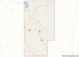
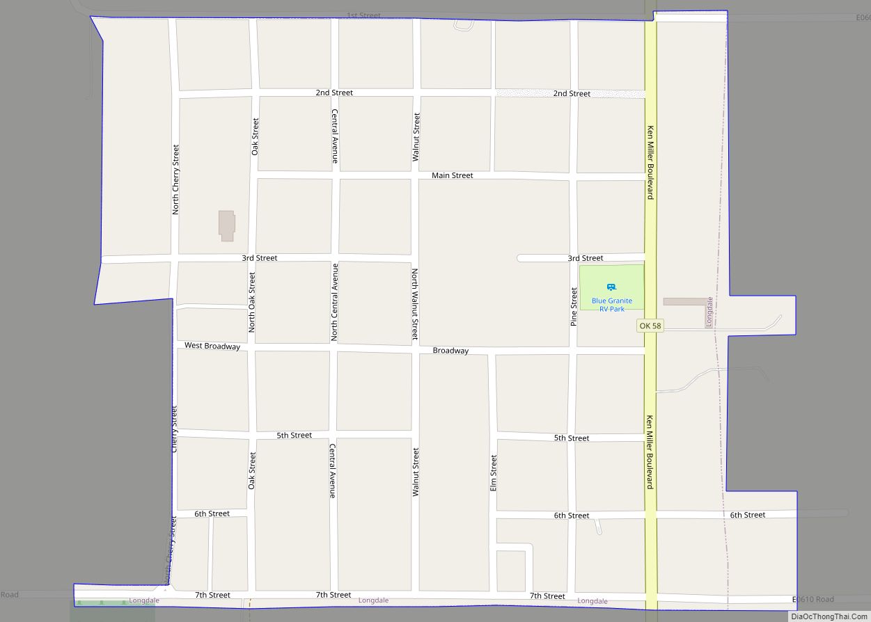
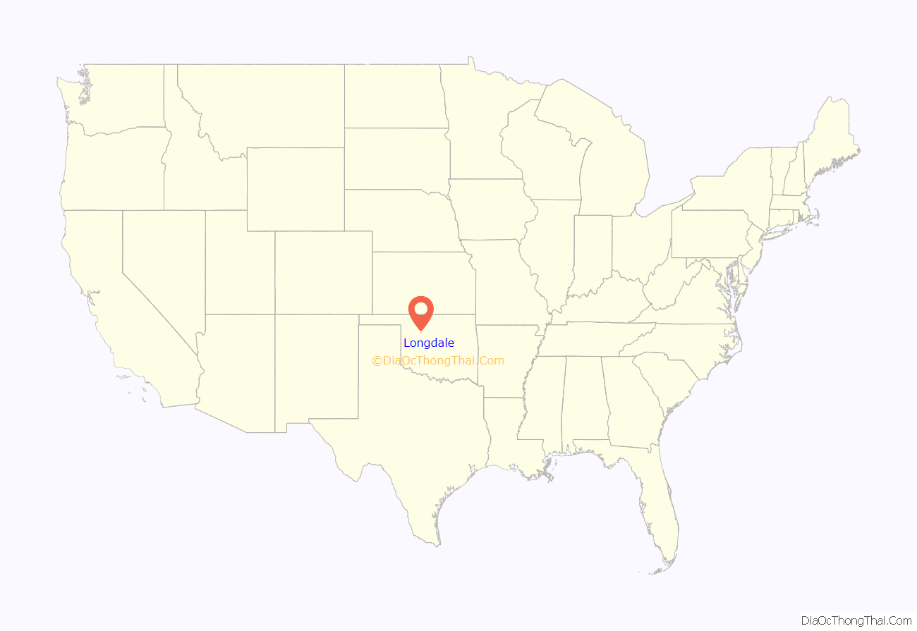
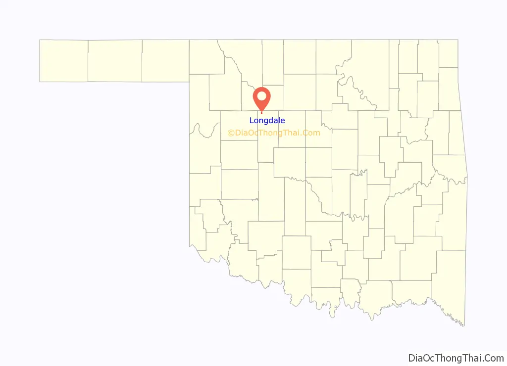
Longdale location map. Where is Longdale town?
History
The town was named for Lucious Walter Long, the husband of Carrie M. Millerman, who had obtained a homestead in the Cheyenne-Arapaho Opening of April 19, 1892. The two married and made her homestead the town site. They donated 160 acres (65 ha) on the north side of their property to the Union Real Estate and Townsite Company, while retaining the southern side themselves, which they divided into residential and commercial lots. The Longs wanted to name their new community Longview, but agreed to change to Longdale to avoid confusion with the already existing community of Fairview.
Historians have sometimes confused Longdale with Cainville. The latter was 2 miles (3.2 km) north of Longdale, and already had a post office, where the residents of Longdale could receive their mail. The Cainville post office was discontinued and moved to Longdale on November 28, 1903, with Robert L. Eaton as the new postmaster. On October 23, 1903, G. W. published the first edition of his newspaper, the Longdale Register. The Longs already had sold part of their property to the Kansas City, Mexico and Orient Railway, which finally reached Longdale on June 10, 1905.
Carrie Millerman became the first teacher when a school opened November 30, 1894, in a temporary location 2 miles (3.2 km) north of Longdale. A new school building opened in Longdale on November 5, 1906, replacing the temporary facility. By the first census in 1910, Longdale had a population of 296.
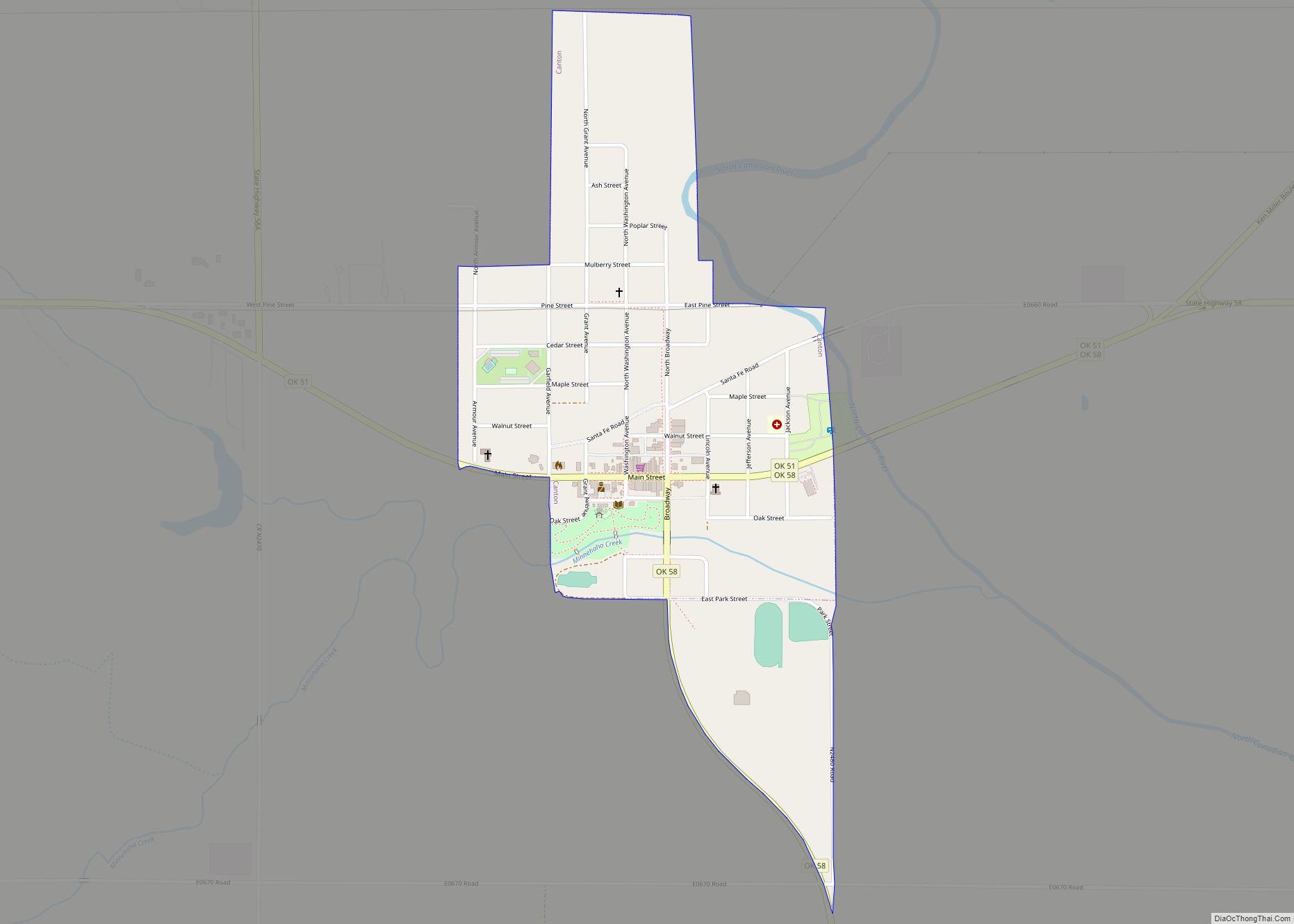
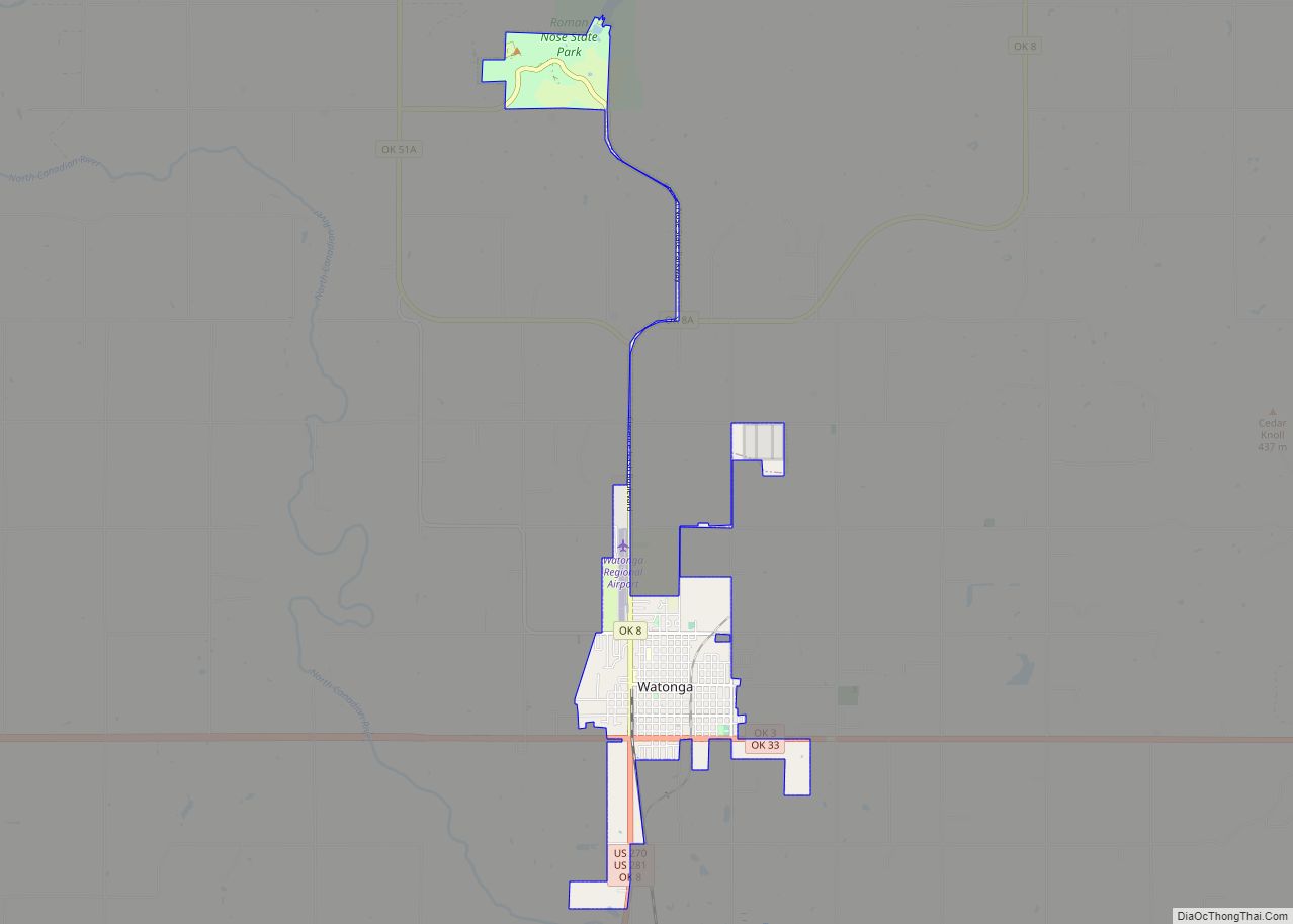
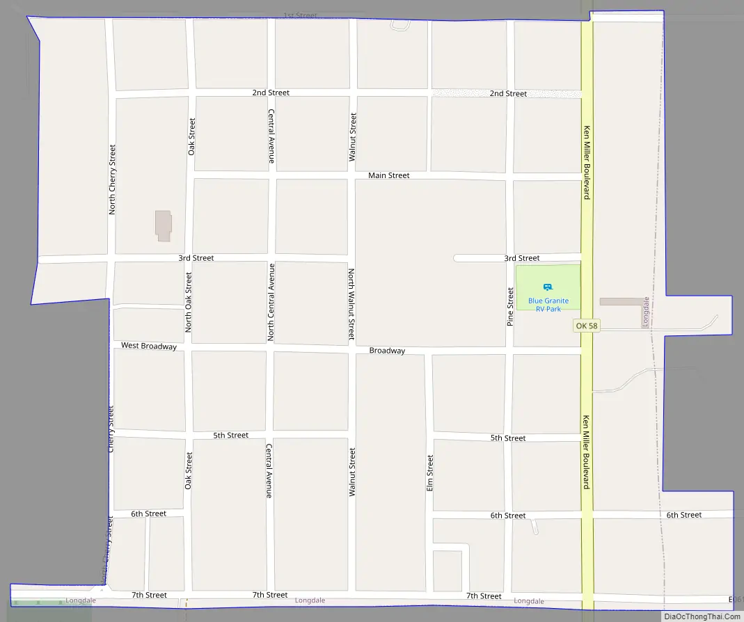
Longdale Road Map
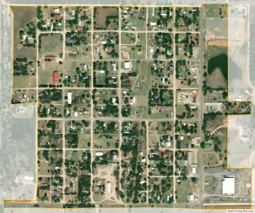
Longdale city Satellite Map
Geography
Longdale is located north of Canton Lake on State Highway 58.
According to the United States Census Bureau, the town has a total area of 0.3 square miles (0.78 km), all land.
Climate
See also
Map of Oklahoma State and its subdivision:- Adair
- Alfalfa
- Atoka
- Beaver
- Beckham
- Blaine
- Bryan
- Caddo
- Canadian
- Carter
- Cherokee
- Choctaw
- Cimarron
- Cleveland
- Coal
- Comanche
- Cotton
- Craig
- Creek
- Custer
- Delaware
- Dewey
- Ellis
- Garfield
- Garvin
- Grady
- Grant
- Greer
- Harmon
- Harper
- Haskell
- Hughes
- Jackson
- Jefferson
- Johnston
- Kay
- Kingfisher
- Kiowa
- Latimer
- Le Flore
- Lincoln
- Logan
- Love
- Major
- Marshall
- Mayes
- McClain
- McCurtain
- McIntosh
- Murray
- Muskogee
- Noble
- Nowata
- Okfuskee
- Oklahoma
- Okmulgee
- Osage
- Ottawa
- Pawnee
- Payne
- Pittsburg
- Pontotoc
- Pottawatomie
- Pushmataha
- Roger Mills
- Rogers
- Seminole
- Sequoyah
- Stephens
- Texas
- Tillman
- Tulsa
- Wagoner
- Washington
- Washita
- Woods
- Woodward
- Alabama
- Alaska
- Arizona
- Arkansas
- California
- Colorado
- Connecticut
- Delaware
- District of Columbia
- Florida
- Georgia
- Hawaii
- Idaho
- Illinois
- Indiana
- Iowa
- Kansas
- Kentucky
- Louisiana
- Maine
- Maryland
- Massachusetts
- Michigan
- Minnesota
- Mississippi
- Missouri
- Montana
- Nebraska
- Nevada
- New Hampshire
- New Jersey
- New Mexico
- New York
- North Carolina
- North Dakota
- Ohio
- Oklahoma
- Oregon
- Pennsylvania
- Rhode Island
- South Carolina
- South Dakota
- Tennessee
- Texas
- Utah
- Vermont
- Virginia
- Washington
- West Virginia
- Wisconsin
- Wyoming