Watonga is a city in Blaine County, Oklahoma. It is 70 miles northwest of Oklahoma City. The population was 5,111 at the 2010 census. It is the county seat of Blaine County.
| Name: | Watonga city |
|---|---|
| LSAD Code: | 25 |
| LSAD Description: | city (suffix) |
| State: | Oklahoma |
| County: | Blaine County |
| Elevation: | 1,522 ft (464 m) |
| Total Area: | 3.79 sq mi (9.80 km²) |
| Land Area: | 3.77 sq mi (9.76 km²) |
| Water Area: | 0.02 sq mi (0.04 km²) |
| Total Population: | 2,690 |
| Population Density: | 713.72/sq mi (275.57/km²) |
| ZIP code: | 73772 |
| Area code: | 580 |
| FIPS code: | 4078950 |
| GNISfeature ID: | 2412193 |
| Website: | www.cityofwatonga.org |
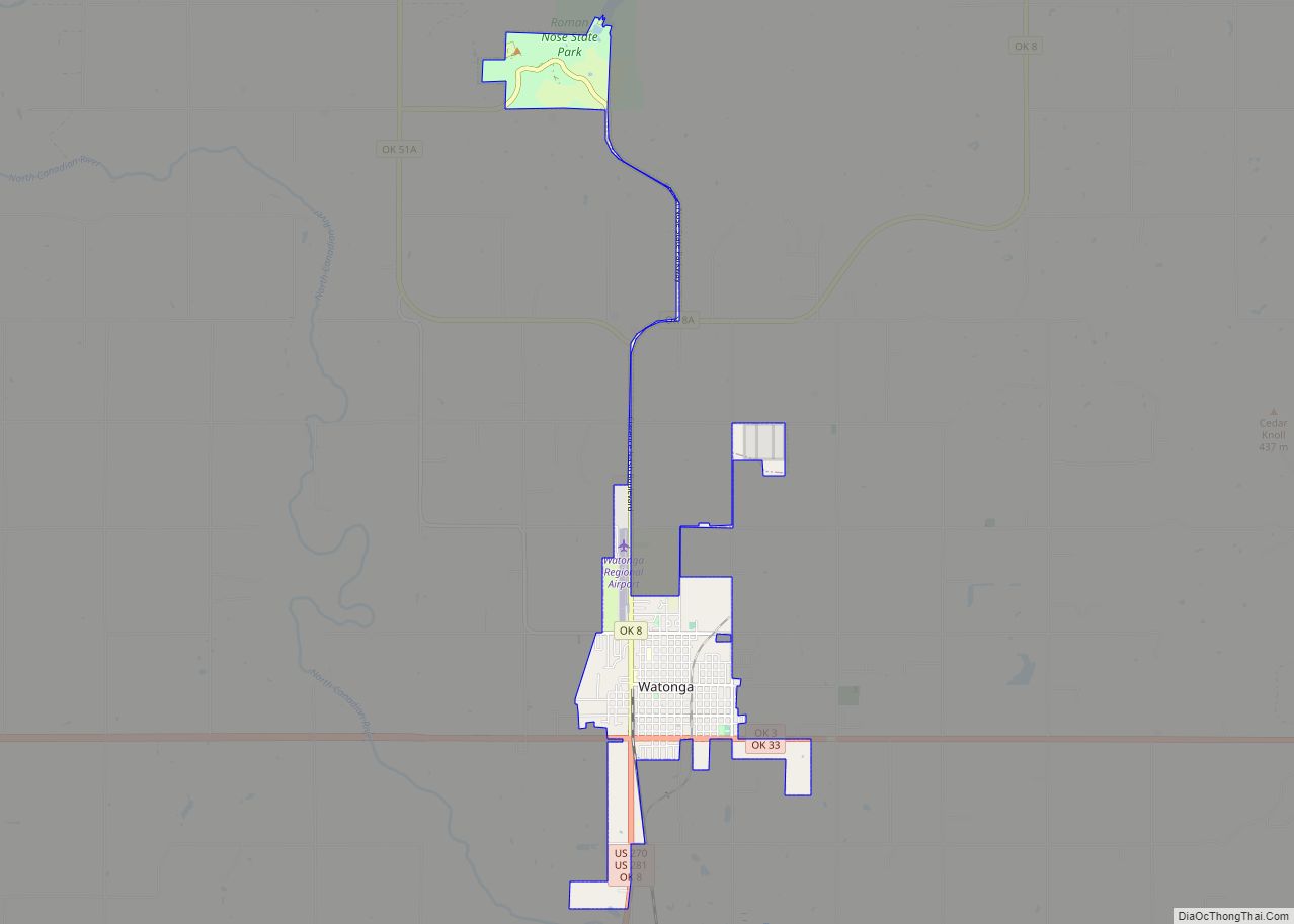
Online Interactive Map
Click on ![]() to view map in "full screen" mode.
to view map in "full screen" mode.
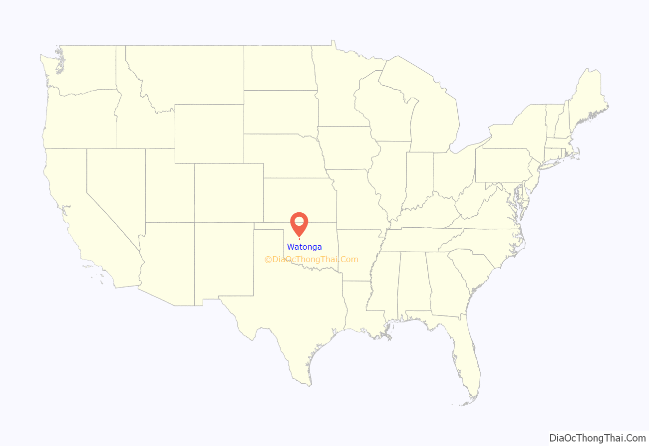
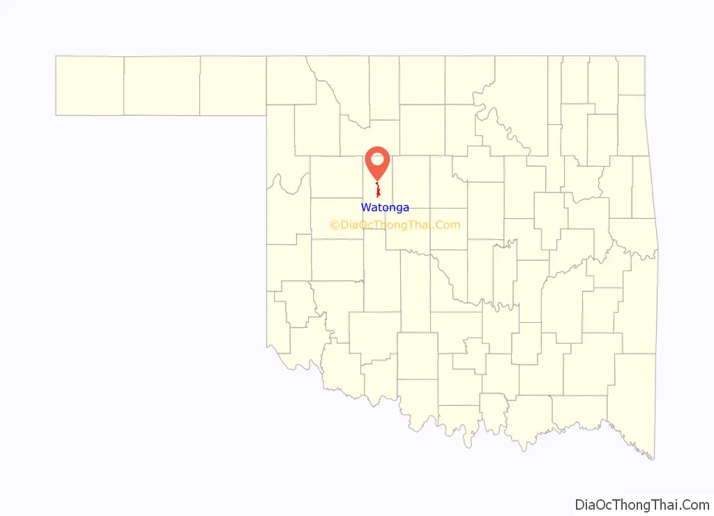
Watonga location map. Where is Watonga city?
History
Watonga is located on former Cheyenne and Arapaho Indian Reservation lands that were allotted to individual tribal members and the excess opened to white settlers in the Land Run of 1892. Watonga is named after Arapaho Chief Watonga, whose name means “Black Coyote”.
The town began as a tent city on April 19, 1892. A post office opened in Watonga during the same year. However, the first railroad line through Watonga was not built until 1901–02, when the Enid and Anadarko Railway (later the Chicago, Rock Island and Pacific Railway) constructed a 60 miles (97 km) rail line from Guthrie.
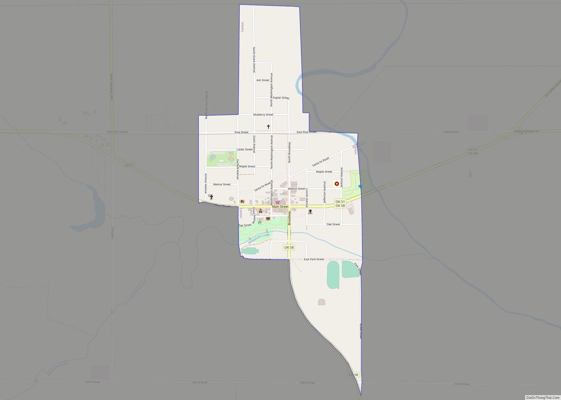
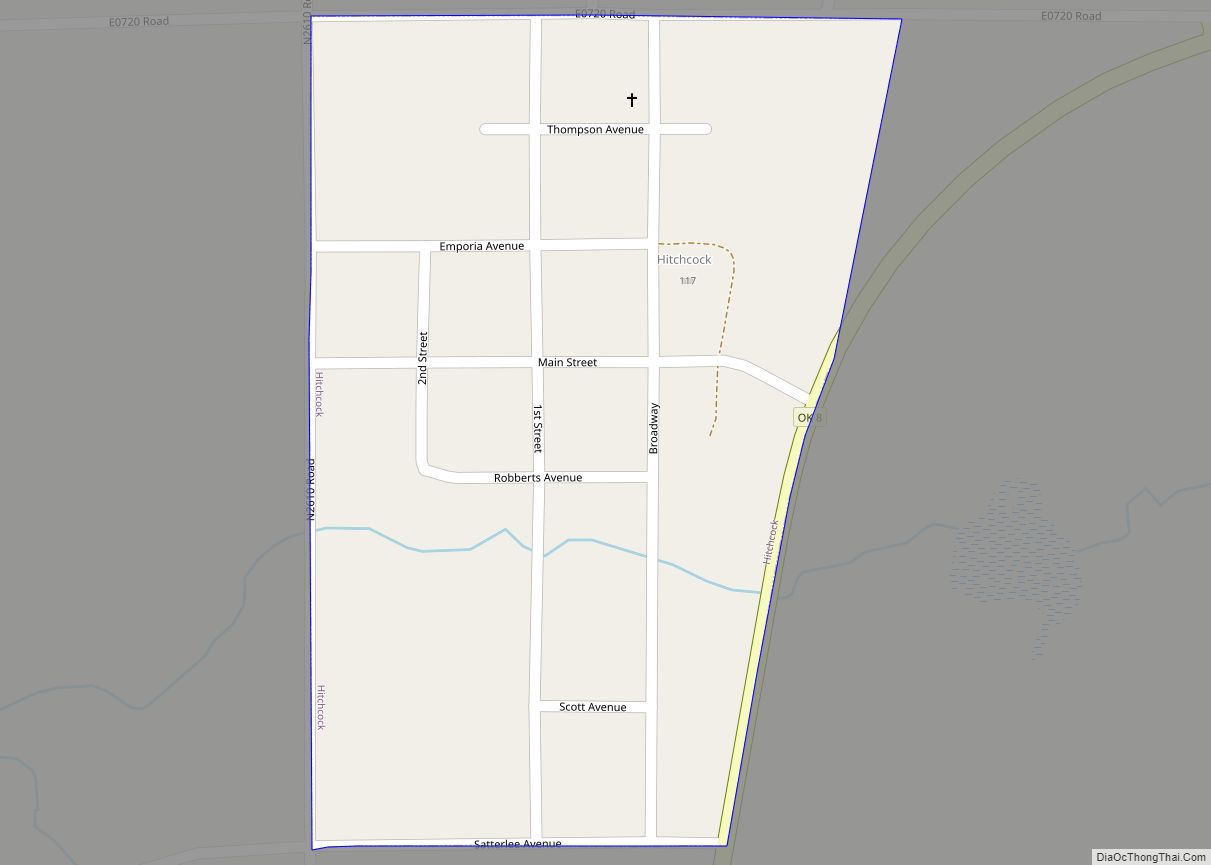
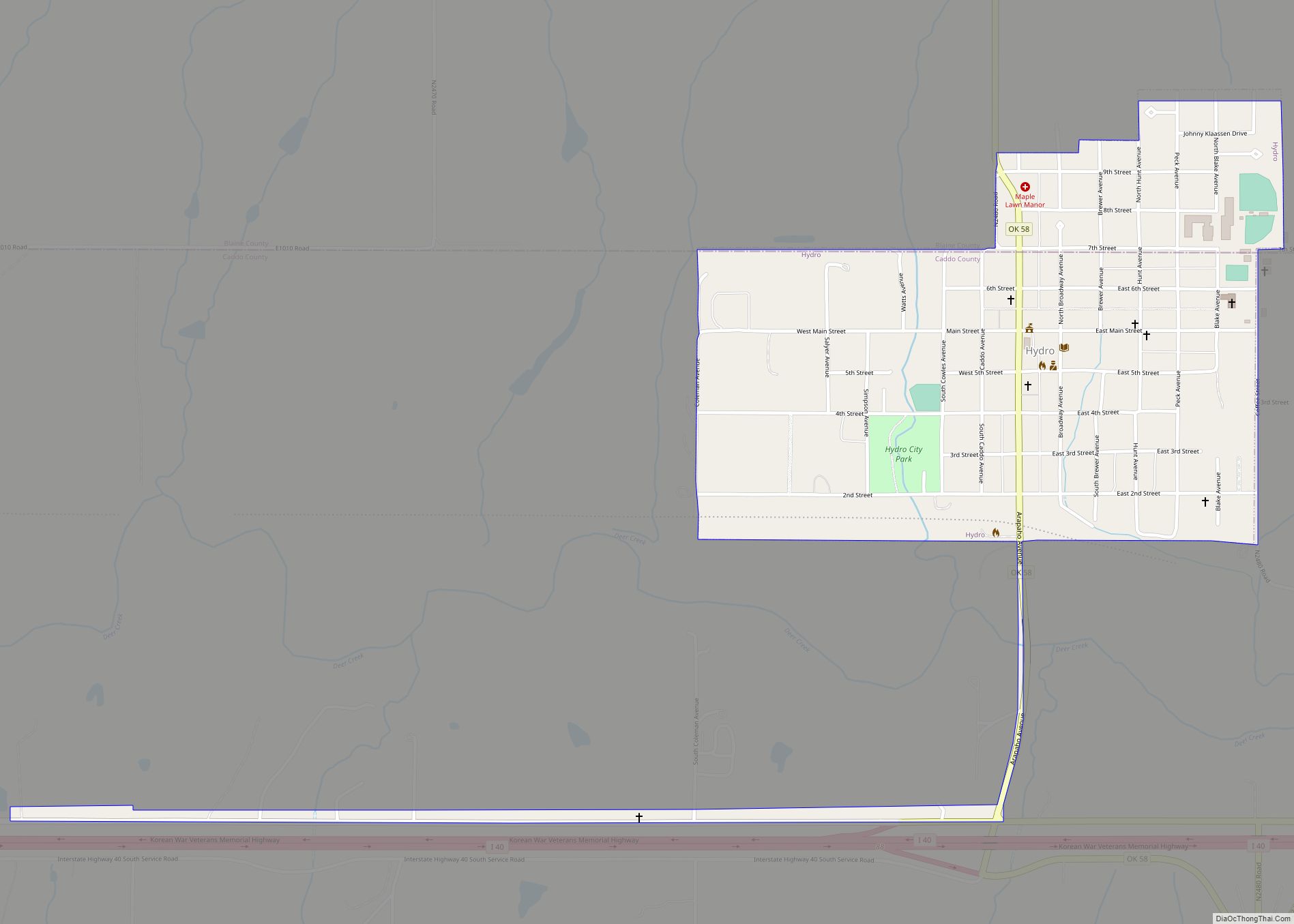
Watonga Road Map
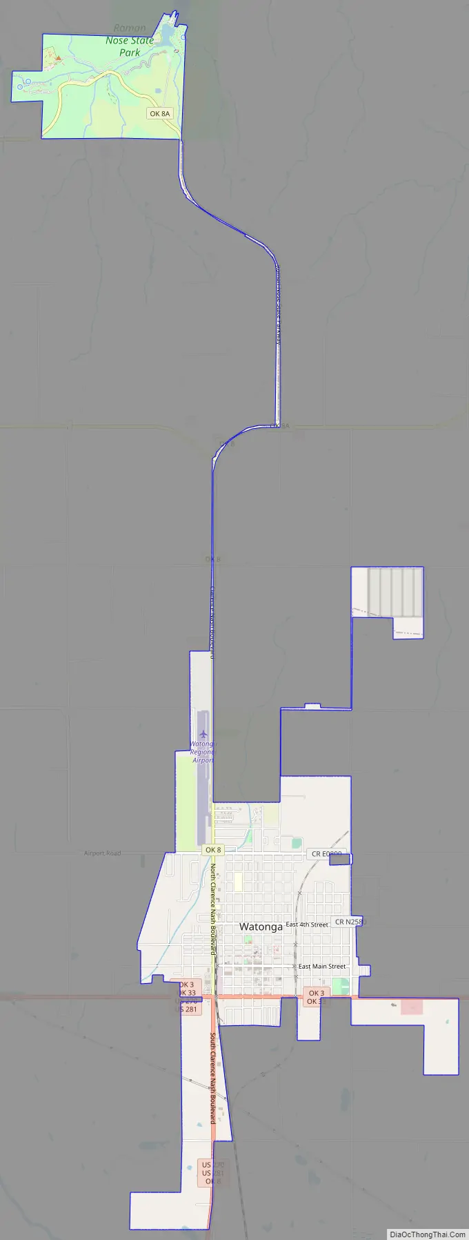
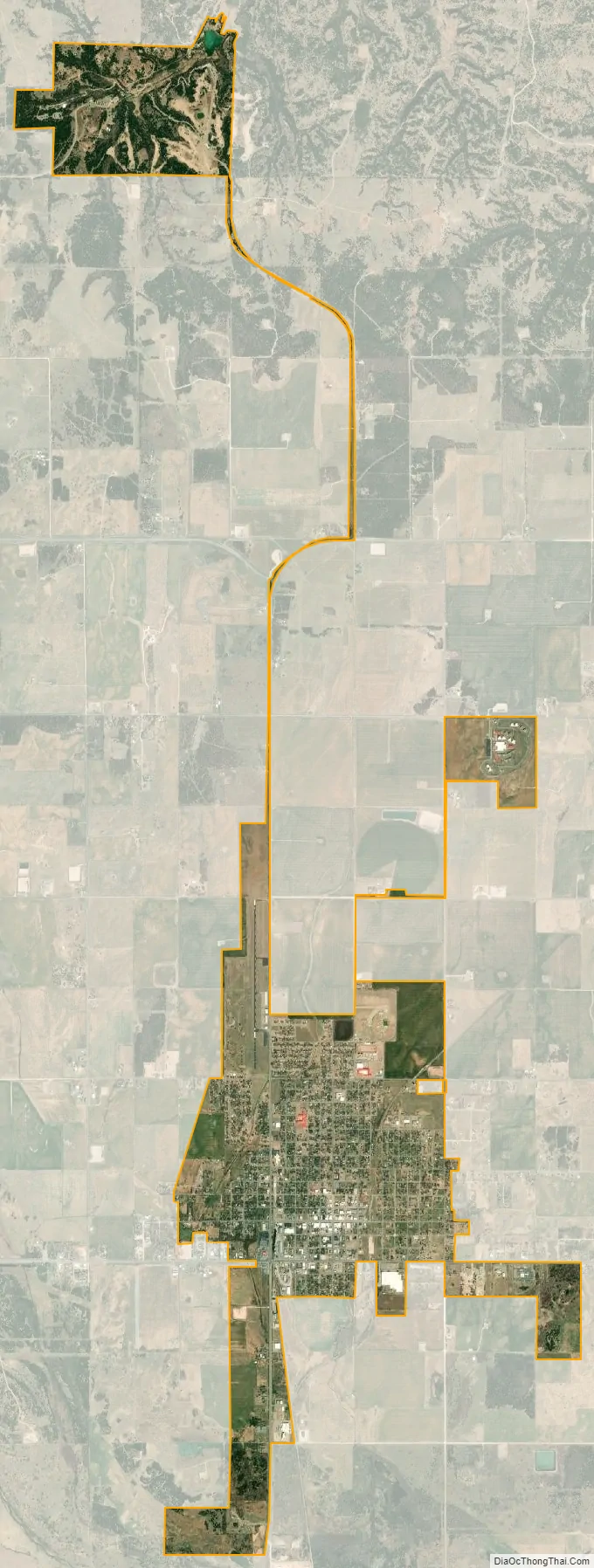
Watonga city Satellite Map
Geography
According to the United States Census Bureau, the city has a total area of 4.1 square miles (10.6 km), of which 0.012 square miles (0.03 km), or 0.28%, is water.
See also
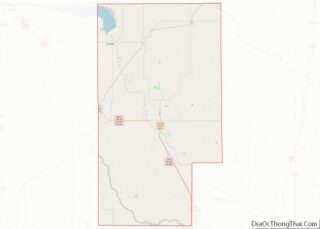
Map of Oklahoma State and its subdivision:- Adair
- Alfalfa
- Atoka
- Beaver
- Beckham
- Blaine
- Bryan
- Caddo
- Canadian
- Carter
- Cherokee
- Choctaw
- Cimarron
- Cleveland
- Coal
- Comanche
- Cotton
- Craig
- Creek
- Custer
- Delaware
- Dewey
- Ellis
- Garfield
- Garvin
- Grady
- Grant
- Greer
- Harmon
- Harper
- Haskell
- Hughes
- Jackson
- Jefferson
- Johnston
- Kay
- Kingfisher
- Kiowa
- Latimer
- Le Flore
- Lincoln
- Logan
- Love
- Major
- Marshall
- Mayes
- McClain
- McCurtain
- McIntosh
- Murray
- Muskogee
- Noble
- Nowata
- Okfuskee
- Oklahoma
- Okmulgee
- Osage
- Ottawa
- Pawnee
- Payne
- Pittsburg
- Pontotoc
- Pottawatomie
- Pushmataha
- Roger Mills
- Rogers
- Seminole
- Sequoyah
- Stephens
- Texas
- Tillman
- Tulsa
- Wagoner
- Washington
- Washita
- Woods
- Woodward
- Alabama
- Alaska
- Arizona
- Arkansas
- California
- Colorado
- Connecticut
- Delaware
- District of Columbia
- Florida
- Georgia
- Hawaii
- Idaho
- Illinois
- Indiana
- Iowa
- Kansas
- Kentucky
- Louisiana
- Maine
- Maryland
- Massachusetts
- Michigan
- Minnesota
- Mississippi
- Missouri
- Montana
- Nebraska
- Nevada
- New Hampshire
- New Jersey
- New Mexico
- New York
- North Carolina
- North Dakota
- Ohio
- Oklahoma
- Oregon
- Pennsylvania
- Rhode Island
- South Carolina
- South Dakota
- Tennessee
- Texas
- Utah
- Vermont
- Virginia
- Washington
- West Virginia
- Wisconsin
- Wyoming