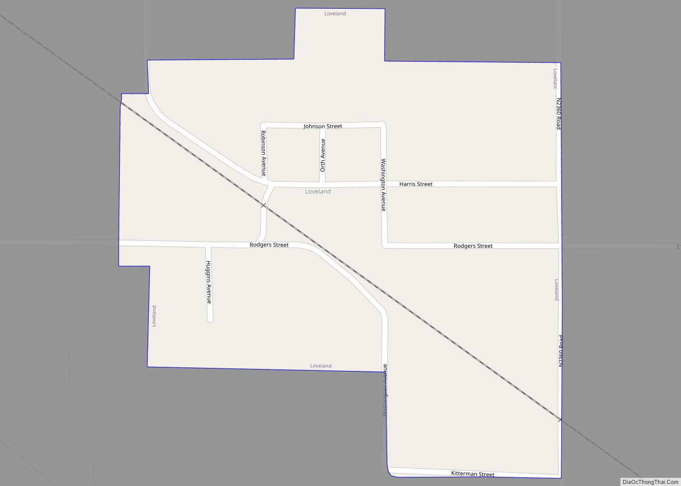
Loveland is a town in Tillman County, Oklahoma, United States. The population was 13 at the 2010 census. Loveland once had a post office that has since closed. The post office was popular around Valentine’s Day, when people often drove many miles to have their valentines postmarked “Loveland”.
| Name: | Loveland town |
|---|---|
| LSAD Code: | 43 |
| LSAD Description: | town (suffix) |
| State: | Oklahoma |
| County: | Tillman County |
| Elevation: | 1,073 ft (327 m) |
| Total Area: | 0.23 sq mi (0.59 km²) |
| Land Area: | 0.23 sq mi (0.58 km²) |
| Water Area: | 0.00 sq mi (0.00 km²) |
| Total Population: | 13 |
| Population Density: | 57.52/sq mi (22.24/km²) |
| ZIP code: | 73546, 73553 |
| Area code: | 580 |
| FIPS code: | 4044150 |
| GNISfeature ID: | 1095023 |
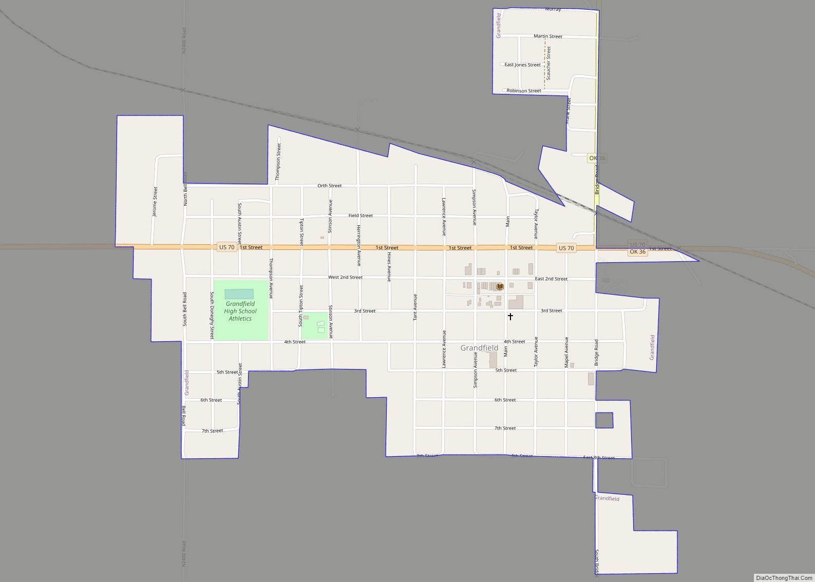
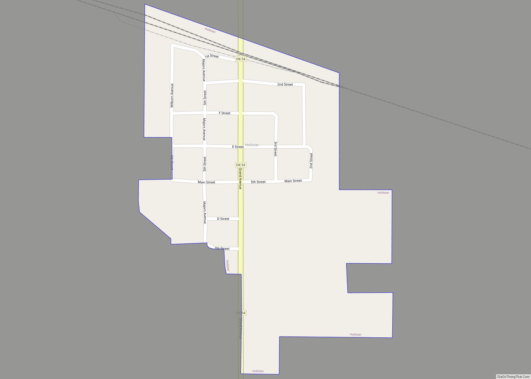
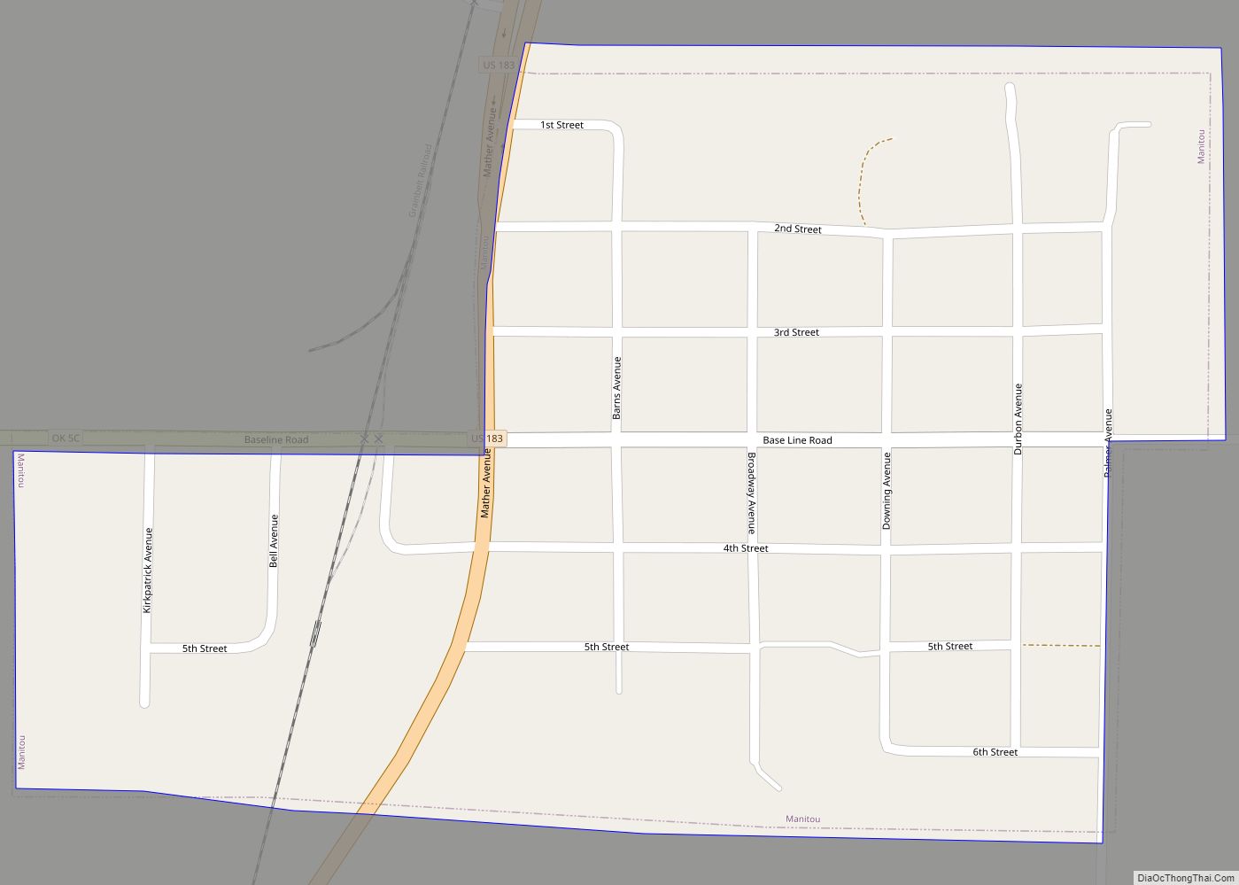
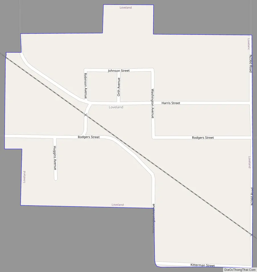
Online Interactive Map
Click on ![]() to view map in "full screen" mode.
to view map in "full screen" mode.
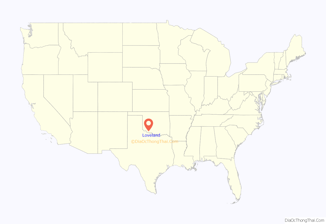
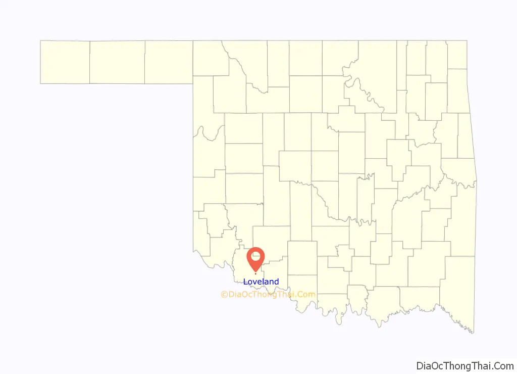
Loveland location map. Where is Loveland town?
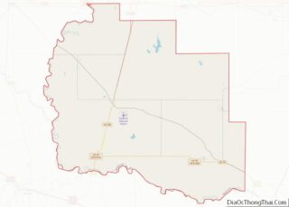
Loveland Road Map
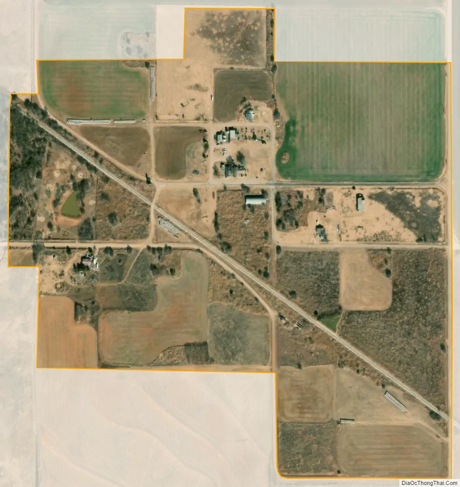
Loveland city Satellite Map
Geography
Loveland is located at 34°18′19″N 98°46′17″W / 34.30528°N 98.77139°W / 34.30528; -98.77139 (34.305242, -98.771435).
According to the United States Census Bureau, the town has a total area of 0.2 square miles (0.52 km), all land.
See also
Map of Oklahoma State and its subdivision:- Adair
- Alfalfa
- Atoka
- Beaver
- Beckham
- Blaine
- Bryan
- Caddo
- Canadian
- Carter
- Cherokee
- Choctaw
- Cimarron
- Cleveland
- Coal
- Comanche
- Cotton
- Craig
- Creek
- Custer
- Delaware
- Dewey
- Ellis
- Garfield
- Garvin
- Grady
- Grant
- Greer
- Harmon
- Harper
- Haskell
- Hughes
- Jackson
- Jefferson
- Johnston
- Kay
- Kingfisher
- Kiowa
- Latimer
- Le Flore
- Lincoln
- Logan
- Love
- Major
- Marshall
- Mayes
- McClain
- McCurtain
- McIntosh
- Murray
- Muskogee
- Noble
- Nowata
- Okfuskee
- Oklahoma
- Okmulgee
- Osage
- Ottawa
- Pawnee
- Payne
- Pittsburg
- Pontotoc
- Pottawatomie
- Pushmataha
- Roger Mills
- Rogers
- Seminole
- Sequoyah
- Stephens
- Texas
- Tillman
- Tulsa
- Wagoner
- Washington
- Washita
- Woods
- Woodward
- Alabama
- Alaska
- Arizona
- Arkansas
- California
- Colorado
- Connecticut
- Delaware
- District of Columbia
- Florida
- Georgia
- Hawaii
- Idaho
- Illinois
- Indiana
- Iowa
- Kansas
- Kentucky
- Louisiana
- Maine
- Maryland
- Massachusetts
- Michigan
- Minnesota
- Mississippi
- Missouri
- Montana
- Nebraska
- Nevada
- New Hampshire
- New Jersey
- New Mexico
- New York
- North Carolina
- North Dakota
- Ohio
- Oklahoma
- Oregon
- Pennsylvania
- Rhode Island
- South Carolina
- South Dakota
- Tennessee
- Texas
- Utah
- Vermont
- Virginia
- Washington
- West Virginia
- Wisconsin
- Wyoming