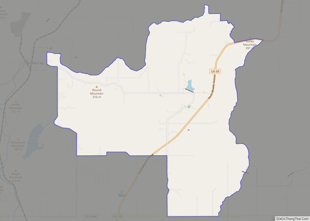
Marble City (often simply called Marble) is a town in Sequoyah County, Oklahoma, United States. It is part of the Fort Smith, Arkansas-Oklahoma Metropolitan Statistical Area. The population was 263 at the 2010 census, an increase of 8.7 percent over the figure of 242 recorded in 2000, making it the seventh-largest town by population in Sequoyah County, after Gans and before Moffett.
| Name: | Marble City town |
|---|---|
| LSAD Code: | 43 |
| LSAD Description: | town (suffix) |
| State: | Oklahoma |
| County: | Sequoyah County |
| Elevation: | 646 ft (197 m) |
| Total Area: | 0.41 sq mi (1.05 km²) |
| Land Area: | 0.41 sq mi (1.05 km²) |
| Water Area: | 0.00 sq mi (0.00 km²) |
| Total Population: | 186 |
| Population Density: | 458.13/sq mi (176.73/km²) |
| ZIP code: | 74945 |
| Area code: | 539/918 |
| FIPS code: | 4046450 |
| GNISfeature ID: | 1095134 |
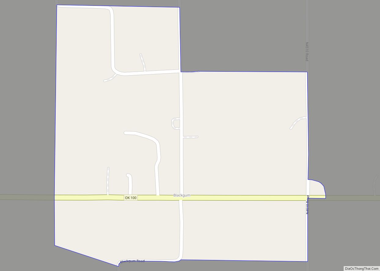
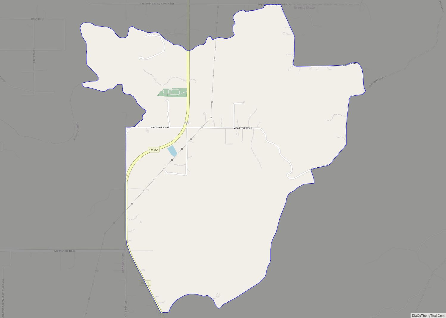
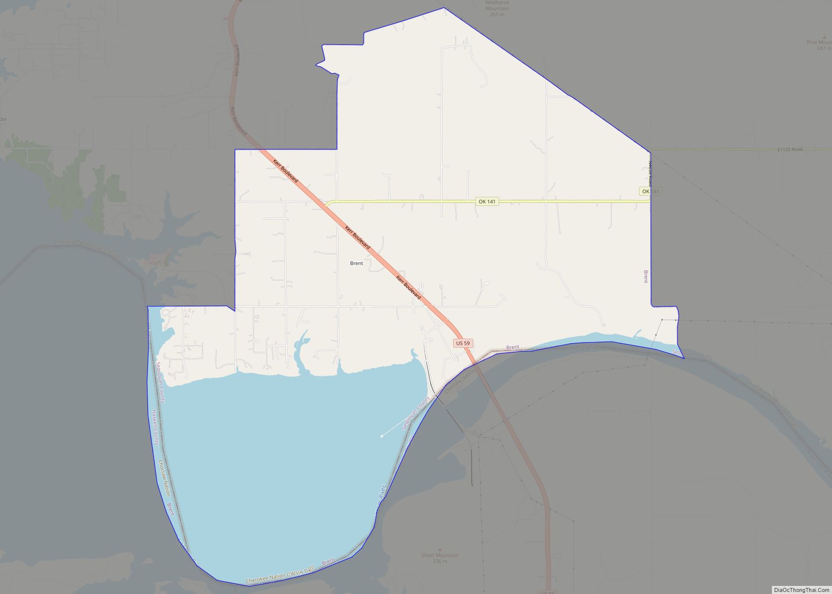
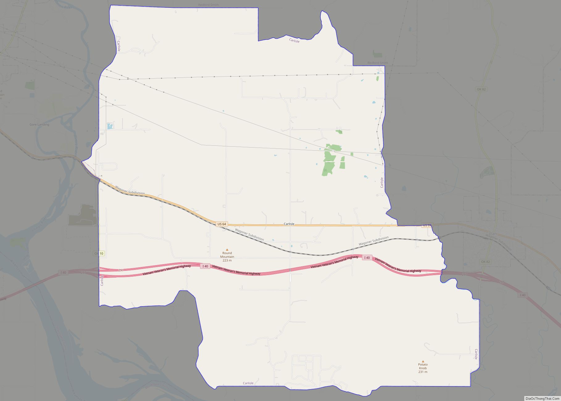
Online Interactive Map
Click on ![]() to view map in "full screen" mode.
to view map in "full screen" mode.
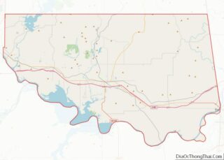
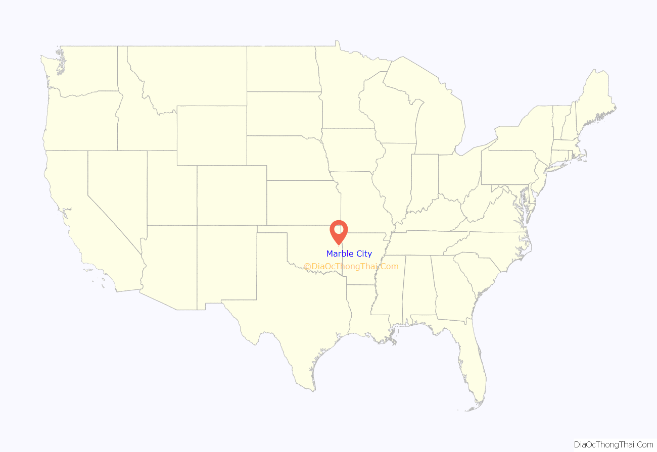
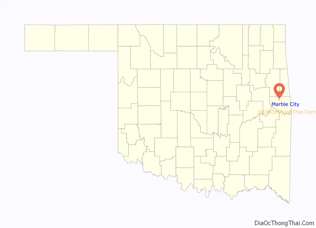
Marble City location map. Where is Marble City town?
History
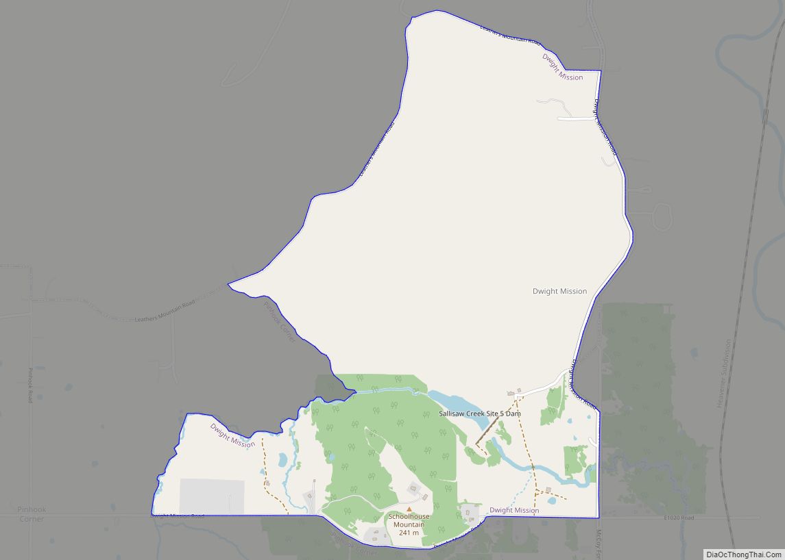
The area around what is now Marble City was considered part of Lovely County, Arkansas Territory until 1829. In that year, the Federal Government began moving the Western Cherokees from other parts of Arkansas Territory into this area, then called Nicksville. Non-Indian settlers were ordered to vacate, and the Arkansas Territorial Legislature ended its claim to the land. Dwight Mission took over Nicksville. The area became part of Indian Territory.
A post office named Kidron was established in this area in 1835, to serve the Cherokee settlers in this area. The office moved to another location in 1858, where it was named Marble Salt Works. Another Kidron post office opened near Dwight Mission in 1859, but was discontinued in 1869. In 1869, the Post Office opened a new location named Kedron. By 1895, when commercial-scale quarrying of marble began in this area, the Kansas City, Pittsburg and Gulf Railroad (later known as the Kansas City Southern Railway) laid tracks through the area, the Kedron post office moved closer to the railroad and a marble quarry, and was renamed as Marble. The name was chosen because of its proximity to Oklahoma’s only true marble outcrops. Commercial quarrying began there in 1895. The Ozark Marble Company operated the quarry from 1906 to 1914, producing material for building construction.
Watie Davault served as mayor of Marble City for 47 years, when he retired in 1961.
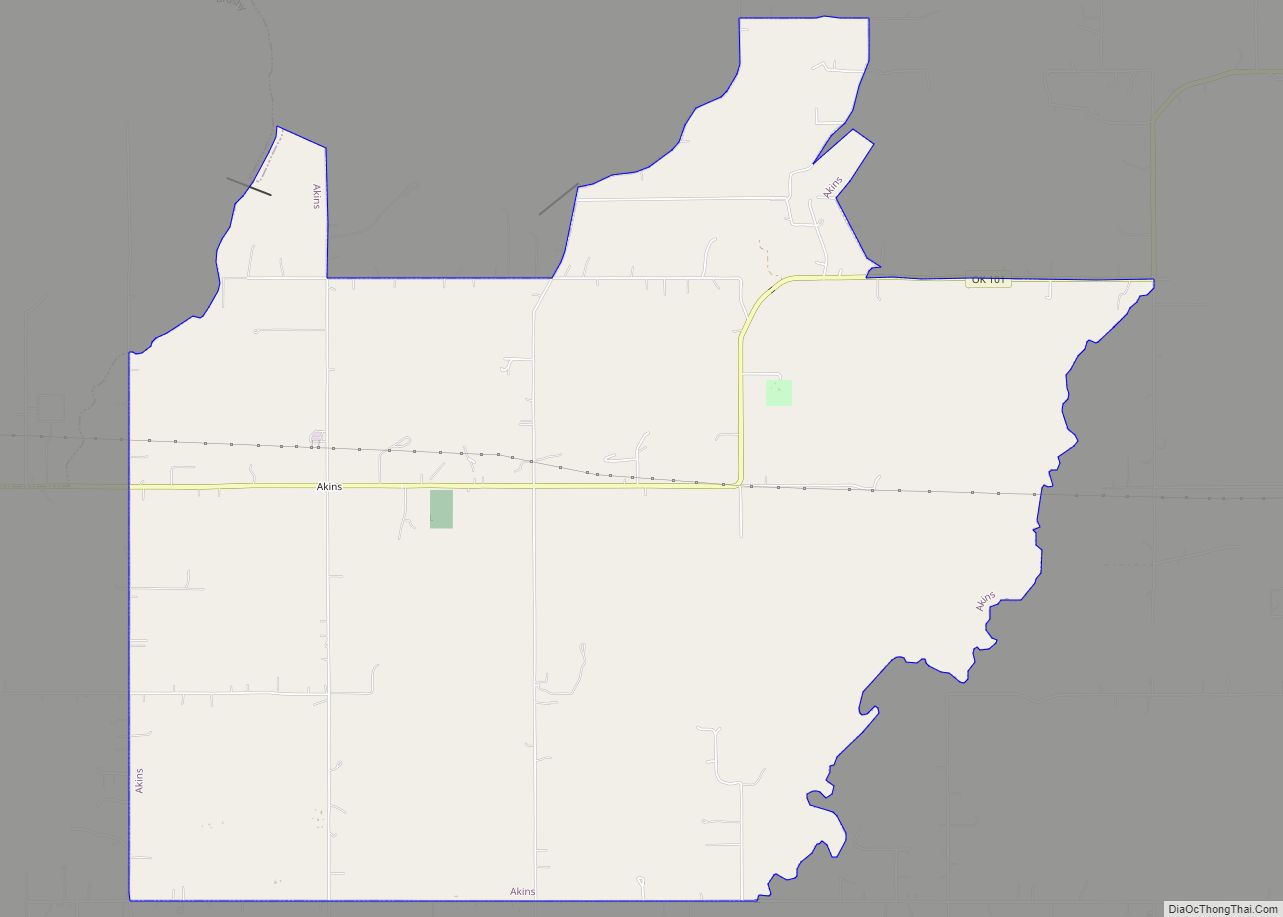
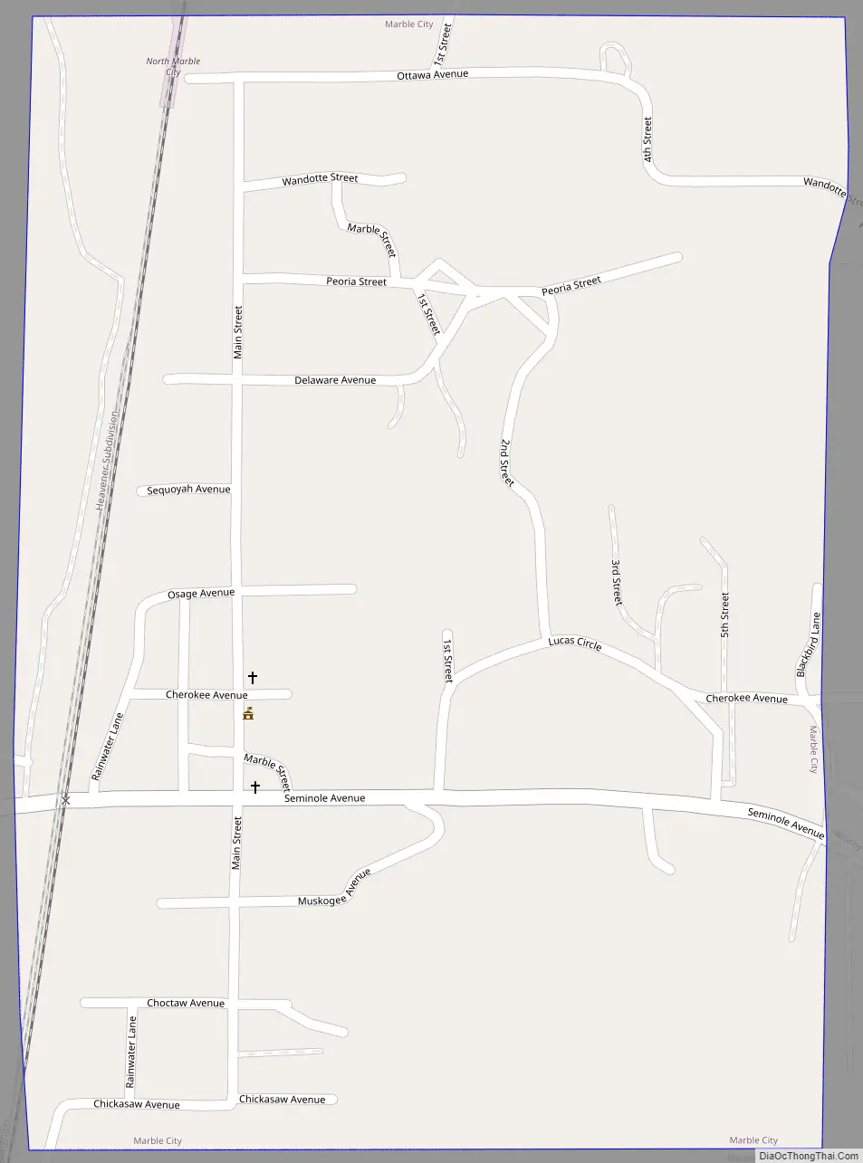
Marble City Road Map
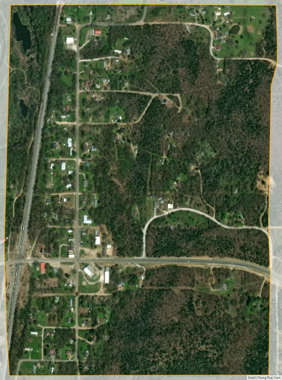
Marble City city Satellite Map
Geography
Marble City is located at 35°34′59″N 94°49′3″W / 35.58306°N 94.81750°W / 35.58306; -94.81750 (35.583191, -94.817383). It is approximately 9 miles (14 km) north of Sallisaw.
According to the United States Census Bureau, the town has a total area of 0.4 square miles (1.0 km), all land.
See also
Map of Oklahoma State and its subdivision:- Adair
- Alfalfa
- Atoka
- Beaver
- Beckham
- Blaine
- Bryan
- Caddo
- Canadian
- Carter
- Cherokee
- Choctaw
- Cimarron
- Cleveland
- Coal
- Comanche
- Cotton
- Craig
- Creek
- Custer
- Delaware
- Dewey
- Ellis
- Garfield
- Garvin
- Grady
- Grant
- Greer
- Harmon
- Harper
- Haskell
- Hughes
- Jackson
- Jefferson
- Johnston
- Kay
- Kingfisher
- Kiowa
- Latimer
- Le Flore
- Lincoln
- Logan
- Love
- Major
- Marshall
- Mayes
- McClain
- McCurtain
- McIntosh
- Murray
- Muskogee
- Noble
- Nowata
- Okfuskee
- Oklahoma
- Okmulgee
- Osage
- Ottawa
- Pawnee
- Payne
- Pittsburg
- Pontotoc
- Pottawatomie
- Pushmataha
- Roger Mills
- Rogers
- Seminole
- Sequoyah
- Stephens
- Texas
- Tillman
- Tulsa
- Wagoner
- Washington
- Washita
- Woods
- Woodward
- Alabama
- Alaska
- Arizona
- Arkansas
- California
- Colorado
- Connecticut
- Delaware
- District of Columbia
- Florida
- Georgia
- Hawaii
- Idaho
- Illinois
- Indiana
- Iowa
- Kansas
- Kentucky
- Louisiana
- Maine
- Maryland
- Massachusetts
- Michigan
- Minnesota
- Mississippi
- Missouri
- Montana
- Nebraska
- Nevada
- New Hampshire
- New Jersey
- New Mexico
- New York
- North Carolina
- North Dakota
- Ohio
- Oklahoma
- Oregon
- Pennsylvania
- Rhode Island
- South Carolina
- South Dakota
- Tennessee
- Texas
- Utah
- Vermont
- Virginia
- Washington
- West Virginia
- Wisconsin
- Wyoming