Maud is a town on the boundary between Pottawatomie and Seminole counties in the U.S. state of Oklahoma. The population was 1,048 at the 2010 census, a 7.8 percent decrease from the figure of 1,136 in 2000. The town was named for Maud Stearns, a sister to the wives of two men who owned the first general store.
| Name: | Maud city |
|---|---|
| LSAD Code: | 25 |
| LSAD Description: | city (suffix) |
| State: | Oklahoma |
| County: | Pottawatomie County, Seminole County |
| Elevation: | 968 ft (295 m) |
| Total Area: | 1.05 sq mi (2.72 km²) |
| Land Area: | 1.05 sq mi (2.72 km²) |
| Water Area: | 0.00 sq mi (0.00 km²) |
| Total Population: | 867 |
| Population Density: | 826.50/sq mi (318.97/km²) |
| ZIP code: | 74854 |
| Area code: | 405 |
| FIPS code: | 4046900 |
| GNISfeature ID: | 1095177 |
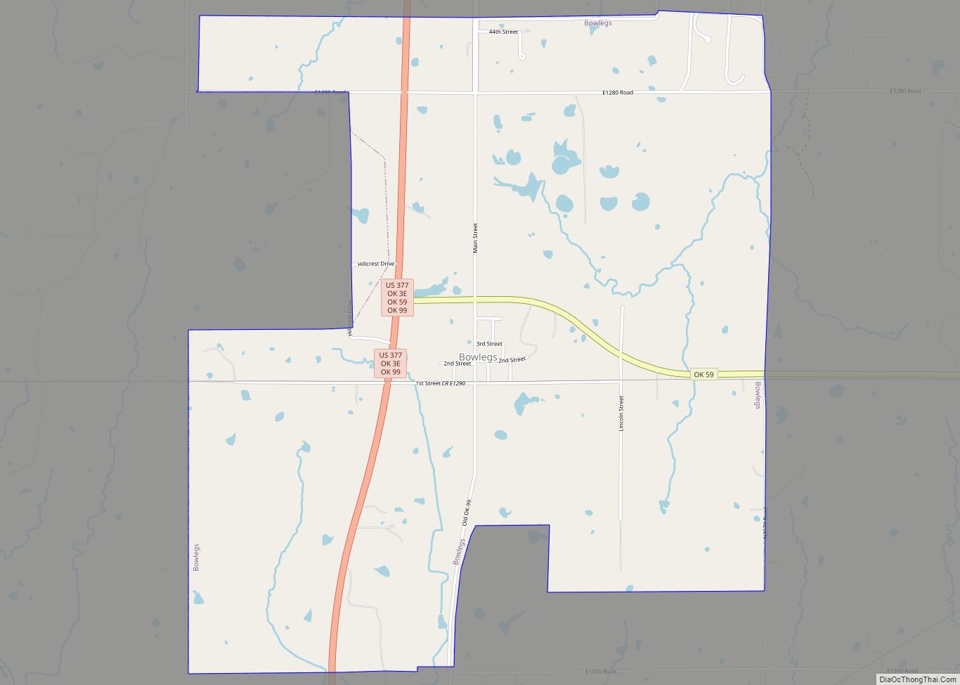
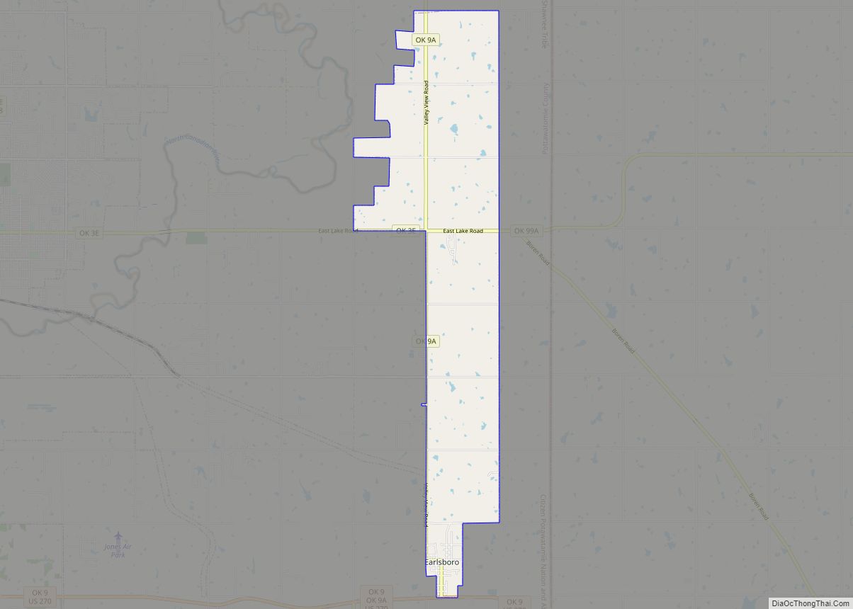
Online Interactive Map
Click on ![]() to view map in "full screen" mode.
to view map in "full screen" mode.
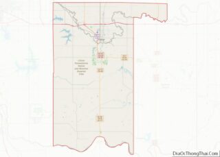
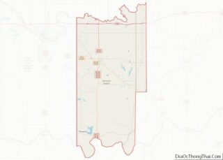
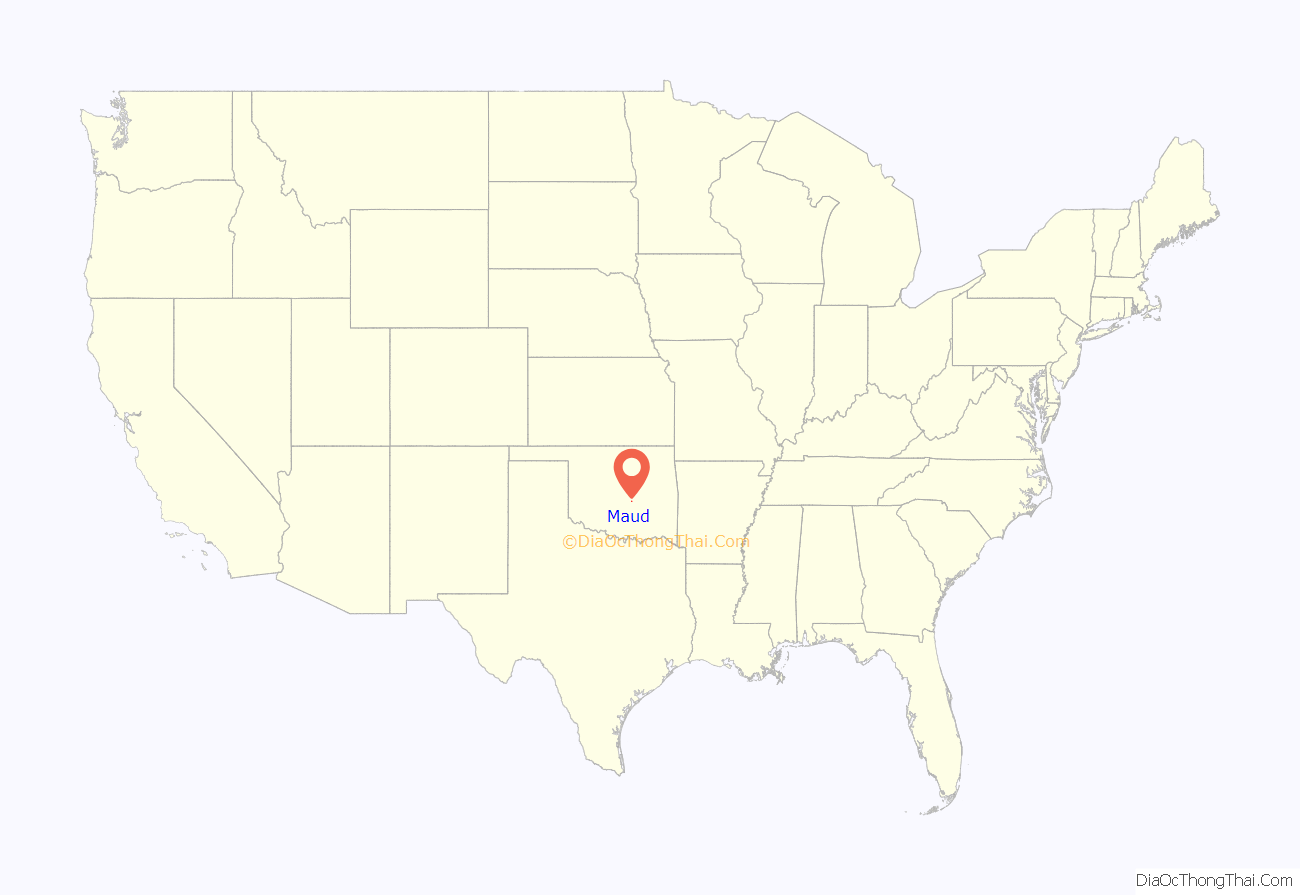
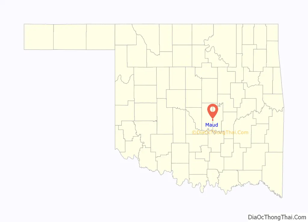
Maud location map. Where is Maud city?
History
This community was established by 1890 on the dividing line between Oklahoma Territory and Indian Territory. In 1890, a barbed-wire fence was built along the street now called Broadway from the North Canadian River to the Canadian River to keep the Native Americans out of Oklahoma Territory. However, the fence failed to prevent the illegal sale of alcohol to residents of Indian Territory.
A post office was established on April 16, 1896.
In January 1898, a mob lynched two Seminole teenagers, Lincoln McGeisey and Palmer Sampson, by burning them alive near this same post office, in retaliation for their alleged murder of a white woman. Newspapers reported that the charred bodies remained chained to an oak tree for several days after the mob murdered them. Unlike in most lynchings, some members of the mob were actually convicted of participating in the violence. When one of these men was released from the federal penitentiary in Leavenworth in 1906, a celebratory crowd welcomed him home to Maud.
A railroad station was built by the Missouri, Kansas and Texas Railway in 1903. The first newspaper, Maud Monitor, appeared in 1904, and lasted until about 1919. The city was formally incorporated on July 21, 1905. The 1910 census showed a population of 503.
Maud became a boom town in the early 1920s because oil was discovered nearby. The peak population was estimated at ten thousand. The boom was short-lived and the population was only 4,326 at the 1930 census.
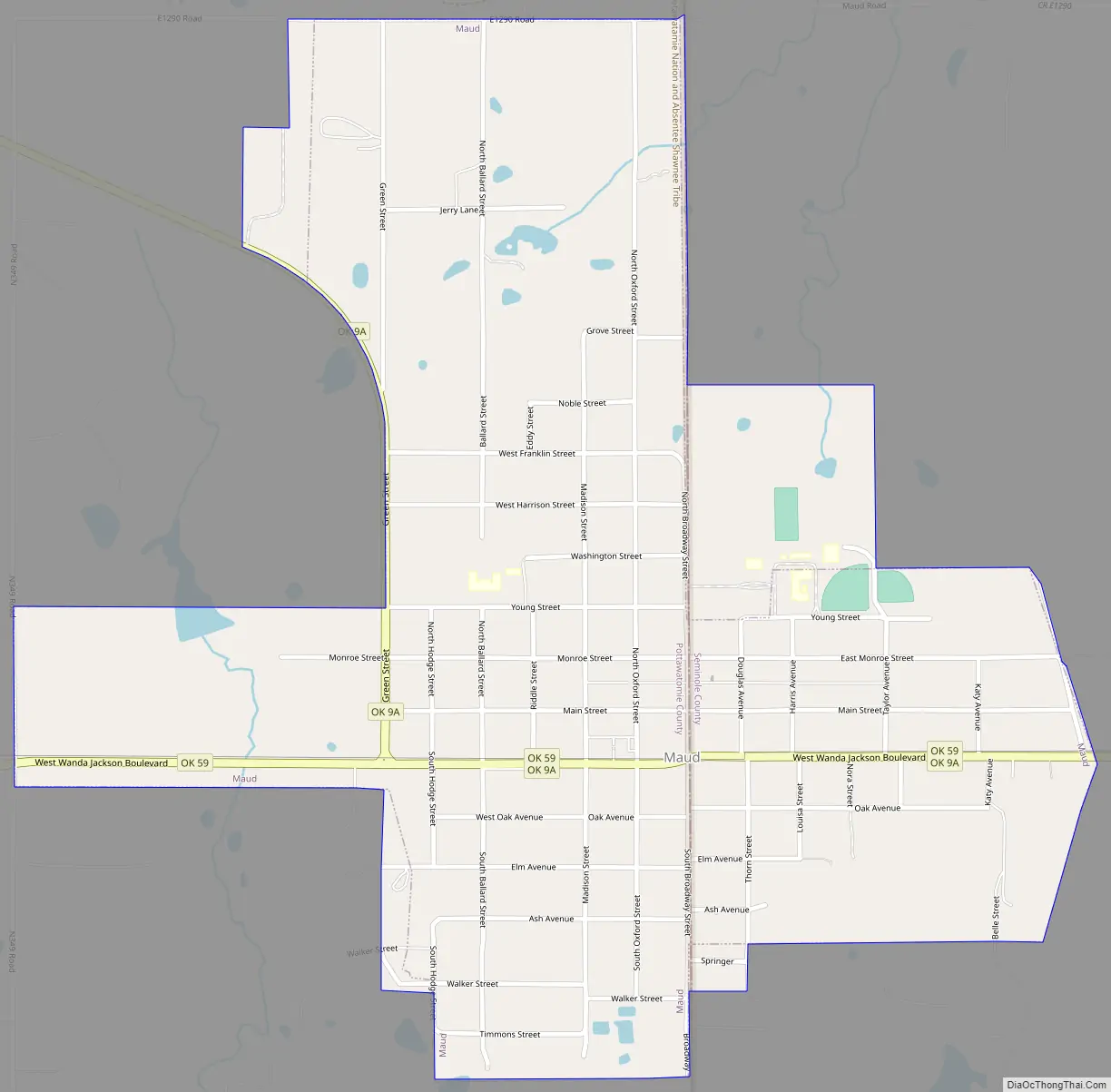
Maud Road Map
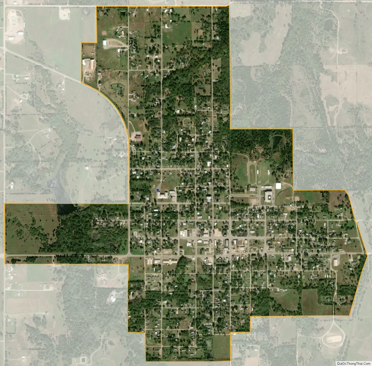
Maud city Satellite Map
Geography
Maud is located at 35°7′55″N 96°46′39″W / 35.13194°N 96.77750°W / 35.13194; -96.77750 (35.131809, -96.777527). According to the United States Census Bureau, the city has a total area of 1.0 square miles (2.58 km), all land.
See also
Map of Oklahoma State and its subdivision:- Adair
- Alfalfa
- Atoka
- Beaver
- Beckham
- Blaine
- Bryan
- Caddo
- Canadian
- Carter
- Cherokee
- Choctaw
- Cimarron
- Cleveland
- Coal
- Comanche
- Cotton
- Craig
- Creek
- Custer
- Delaware
- Dewey
- Ellis
- Garfield
- Garvin
- Grady
- Grant
- Greer
- Harmon
- Harper
- Haskell
- Hughes
- Jackson
- Jefferson
- Johnston
- Kay
- Kingfisher
- Kiowa
- Latimer
- Le Flore
- Lincoln
- Logan
- Love
- Major
- Marshall
- Mayes
- McClain
- McCurtain
- McIntosh
- Murray
- Muskogee
- Noble
- Nowata
- Okfuskee
- Oklahoma
- Okmulgee
- Osage
- Ottawa
- Pawnee
- Payne
- Pittsburg
- Pontotoc
- Pottawatomie
- Pushmataha
- Roger Mills
- Rogers
- Seminole
- Sequoyah
- Stephens
- Texas
- Tillman
- Tulsa
- Wagoner
- Washington
- Washita
- Woods
- Woodward
- Alabama
- Alaska
- Arizona
- Arkansas
- California
- Colorado
- Connecticut
- Delaware
- District of Columbia
- Florida
- Georgia
- Hawaii
- Idaho
- Illinois
- Indiana
- Iowa
- Kansas
- Kentucky
- Louisiana
- Maine
- Maryland
- Massachusetts
- Michigan
- Minnesota
- Mississippi
- Missouri
- Montana
- Nebraska
- Nevada
- New Hampshire
- New Jersey
- New Mexico
- New York
- North Carolina
- North Dakota
- Ohio
- Oklahoma
- Oregon
- Pennsylvania
- Rhode Island
- South Carolina
- South Dakota
- Tennessee
- Texas
- Utah
- Vermont
- Virginia
- Washington
- West Virginia
- Wisconsin
- Wyoming