Mill Creek is a town in Johnston County, Oklahoma, United States. The population was 319 at the 2010 census, a decline from the figure of 340 in 2000. Mill Creek Community is an unincorporated area of Johnston County that surrounds the town and claims to have about 1,000 residents, including those who live within the town limits. Local residents consider the town as the focal point of the community.
| Name: | Mill Creek town |
|---|---|
| LSAD Code: | 43 |
| LSAD Description: | town (suffix) |
| State: | Oklahoma |
| County: | Johnston County |
| Elevation: | 1,033 ft (315 m) |
| Total Area: | 0.39 sq mi (1.00 km²) |
| Land Area: | 0.38 sq mi (0.99 km²) |
| Water Area: | 0.00 sq mi (0.00 km²) |
| Total Population: | 293 |
| Population Density: | 763.02/sq mi (294.79/km²) |
| ZIP code: | 74856 |
| Area code: | 580 |
| FIPS code: | 4048500 |
| GNISfeature ID: | 1095392 |
Online Interactive Map
Click on ![]() to view map in "full screen" mode.
to view map in "full screen" mode.
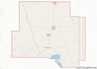
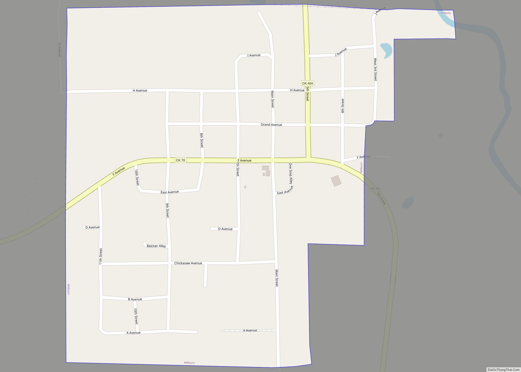
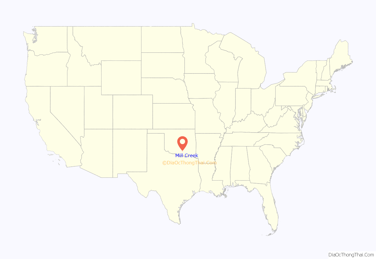
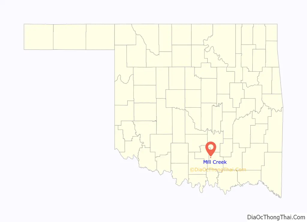
Mill Creek location map. Where is Mill Creek town?
History
In 1852, when the post office was first established, the town was named Mineral Hill and was within the Choctaw Nation, Indian Territory. The 1855 Treaty of Separation between the Choctaws and Chickasaws established the latter as a separate nation, effective March 4, 1856. Mill Creek then fell within the Chickasaw Nation boundaries. The post office was renamed Harris Mill in 1859, after Chickasaw Governor Cyrus Harris built a large grist mill on the local creek. The name changed back to Mill Creek in 1879. In 1902, the town of Mill Creek incorporated in Indian Territory, and after statehood, became Mill Creek, Oklahoma, on November 16, 1907.
The town’s history is closely linked to the railroad. The St. Louis, Oklahoma, and Southern Railway laid tracks through the Mill Creek area from 1900 to 1901. However, the tracks were approximately 3 miles (4.8 km) east of town, so many residents moved closer to the railroad. Soon, the town became one of the largest shipping points for cattle in the region.
The population peaked in 1907, at 644.
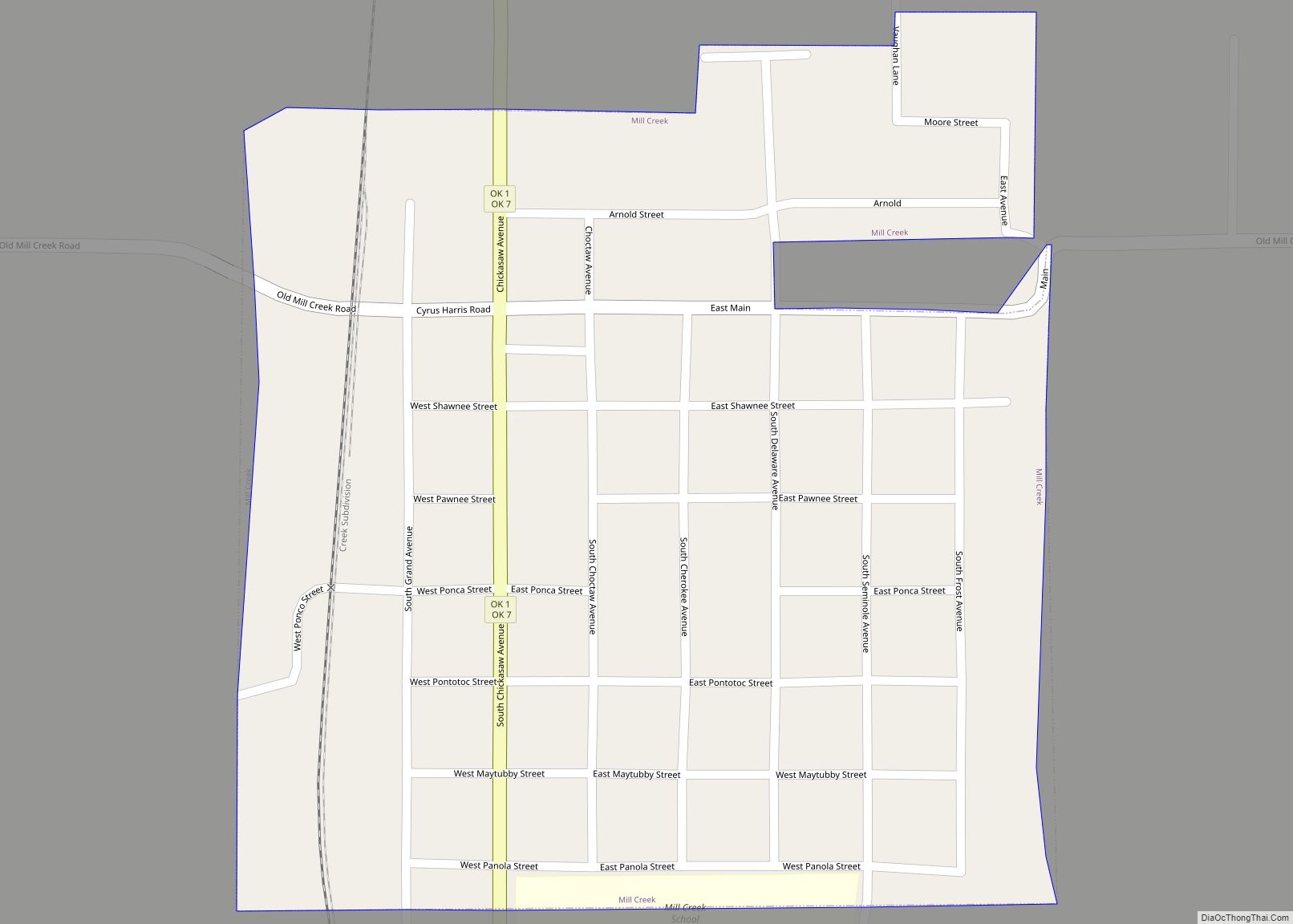
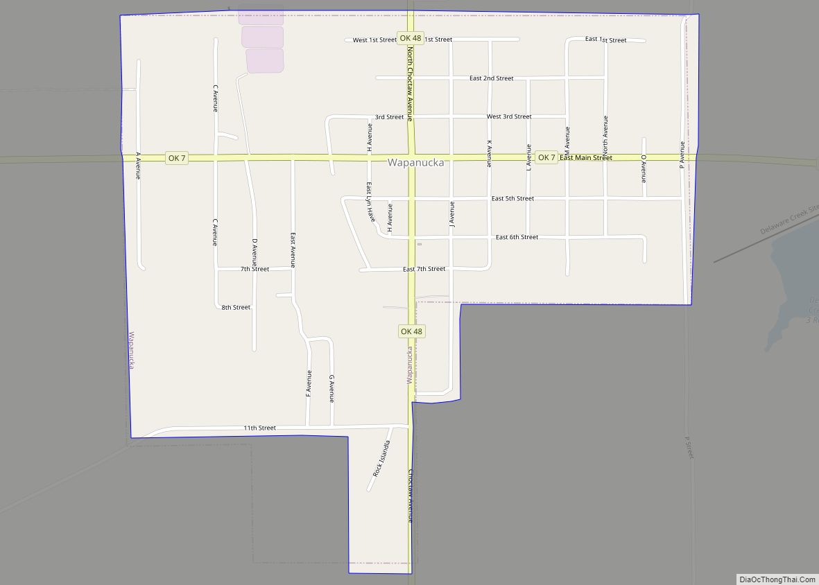
Mill Creek Road Map
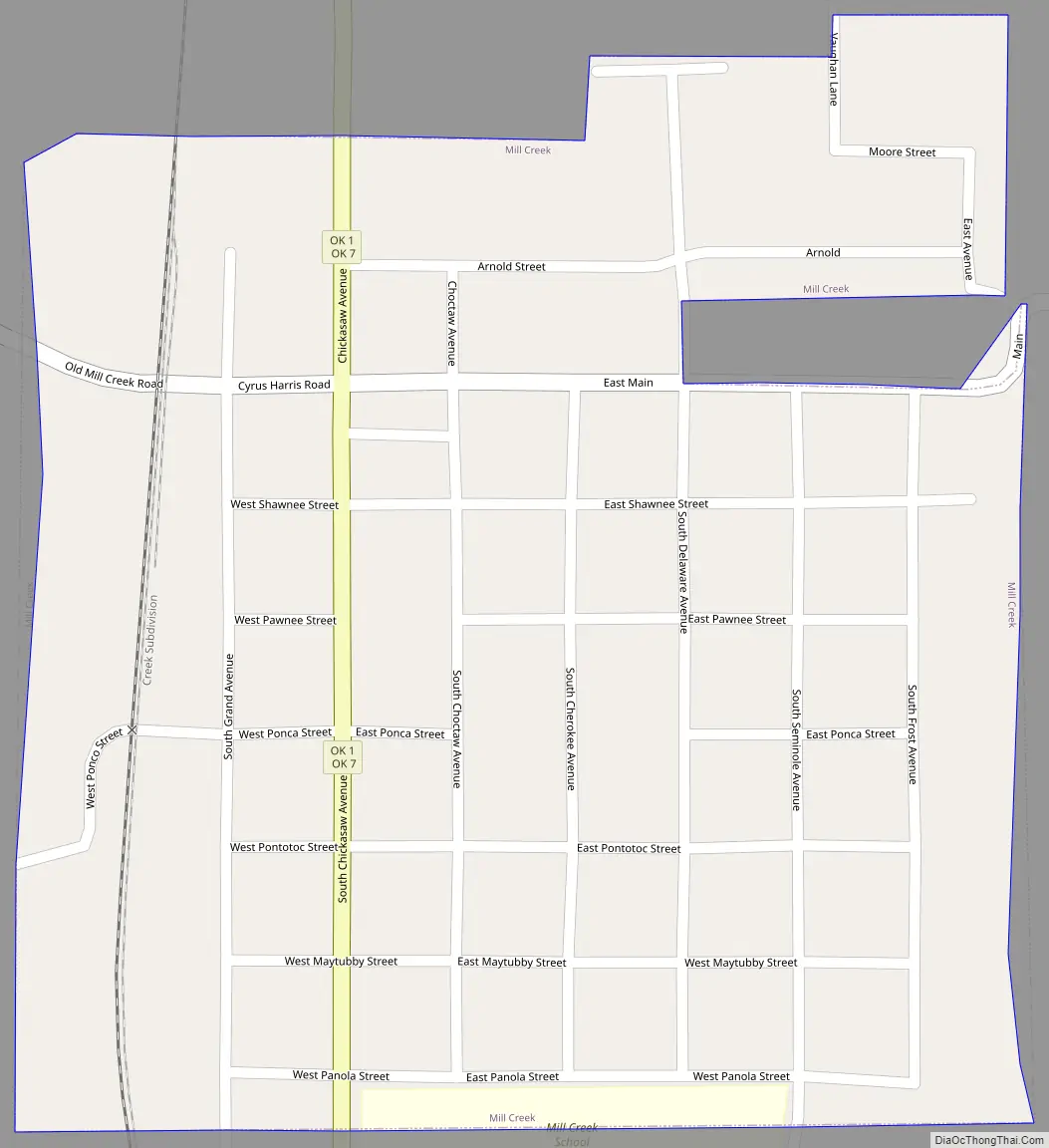
Mill Creek city Satellite Map
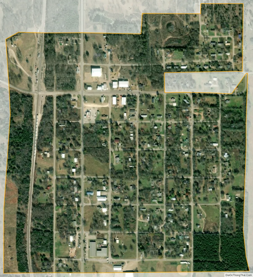
Geography
Mill Creek is located in northern Johnston County at 34°24′04″N 96°49′31″W / 34.401179°N 96.825189°W / 34.401179; -96.825189.
According to the United States Census Bureau, the town has a total area of 0.4 square miles (1.0 km), all land.
See also
Map of Oklahoma State and its subdivision:- Adair
- Alfalfa
- Atoka
- Beaver
- Beckham
- Blaine
- Bryan
- Caddo
- Canadian
- Carter
- Cherokee
- Choctaw
- Cimarron
- Cleveland
- Coal
- Comanche
- Cotton
- Craig
- Creek
- Custer
- Delaware
- Dewey
- Ellis
- Garfield
- Garvin
- Grady
- Grant
- Greer
- Harmon
- Harper
- Haskell
- Hughes
- Jackson
- Jefferson
- Johnston
- Kay
- Kingfisher
- Kiowa
- Latimer
- Le Flore
- Lincoln
- Logan
- Love
- Major
- Marshall
- Mayes
- McClain
- McCurtain
- McIntosh
- Murray
- Muskogee
- Noble
- Nowata
- Okfuskee
- Oklahoma
- Okmulgee
- Osage
- Ottawa
- Pawnee
- Payne
- Pittsburg
- Pontotoc
- Pottawatomie
- Pushmataha
- Roger Mills
- Rogers
- Seminole
- Sequoyah
- Stephens
- Texas
- Tillman
- Tulsa
- Wagoner
- Washington
- Washita
- Woods
- Woodward
- Alabama
- Alaska
- Arizona
- Arkansas
- California
- Colorado
- Connecticut
- Delaware
- District of Columbia
- Florida
- Georgia
- Hawaii
- Idaho
- Illinois
- Indiana
- Iowa
- Kansas
- Kentucky
- Louisiana
- Maine
- Maryland
- Massachusetts
- Michigan
- Minnesota
- Mississippi
- Missouri
- Montana
- Nebraska
- Nevada
- New Hampshire
- New Jersey
- New Mexico
- New York
- North Carolina
- North Dakota
- Ohio
- Oklahoma
- Oregon
- Pennsylvania
- Rhode Island
- South Carolina
- South Dakota
- Tennessee
- Texas
- Utah
- Vermont
- Virginia
- Washington
- West Virginia
- Wisconsin
- Wyoming