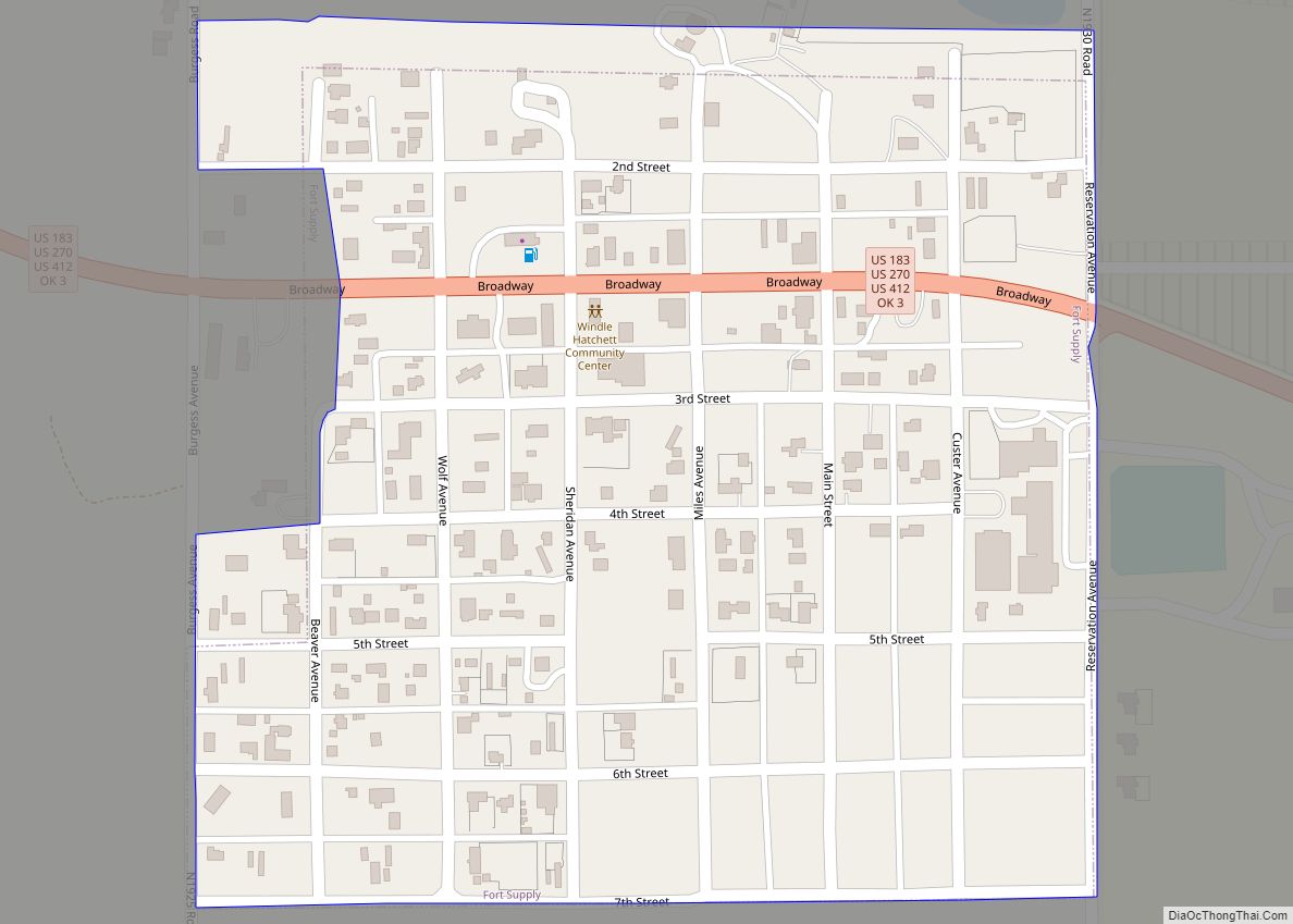
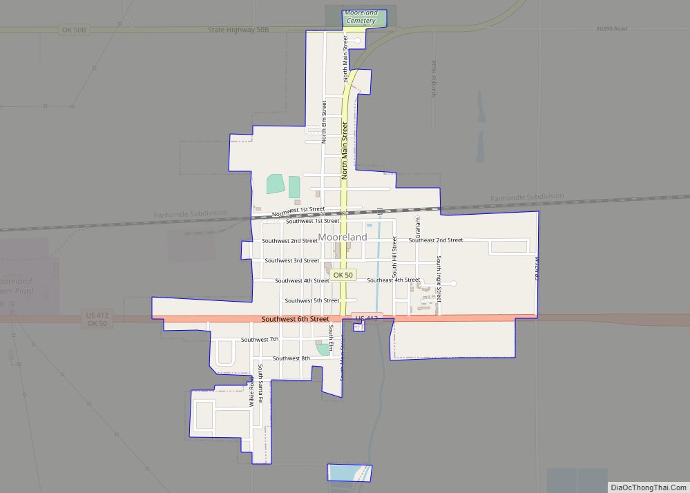
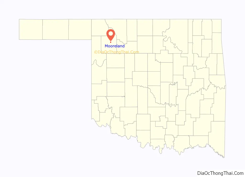
Mooreland is a town in Woodward County, Oklahoma, United States, 10 miles (16 km) east of the city of Woodward, the county seat. The population was 1,190 at the 2010 census. Mooreland lies in a valley approximately 5 miles (8.0 km) north of the North Canadian River. This area of shallow-water land lies at an altitude of 1,900 feet (580 m).
| Name: | Mooreland town |
|---|---|
| LSAD Code: | 43 |
| LSAD Description: | town (suffix) |
| State: | Oklahoma |
| County: | Woodward County |
| Elevation: | 1,893 ft (577 m) |
| Total Area: | 0.88 sq mi (2.28 km²) |
| Land Area: | 0.88 sq mi (2.28 km²) |
| Water Area: | 0.00 sq mi (0.00 km²) |
| Total Population: | 1,178 |
| Population Density: | 1,335.60/sq mi (515.67/km²) |
| ZIP code: | 73852 |
| Area code: | 580 |
| FIPS code: | 4049250 |
| GNISfeature ID: | 1095500 |
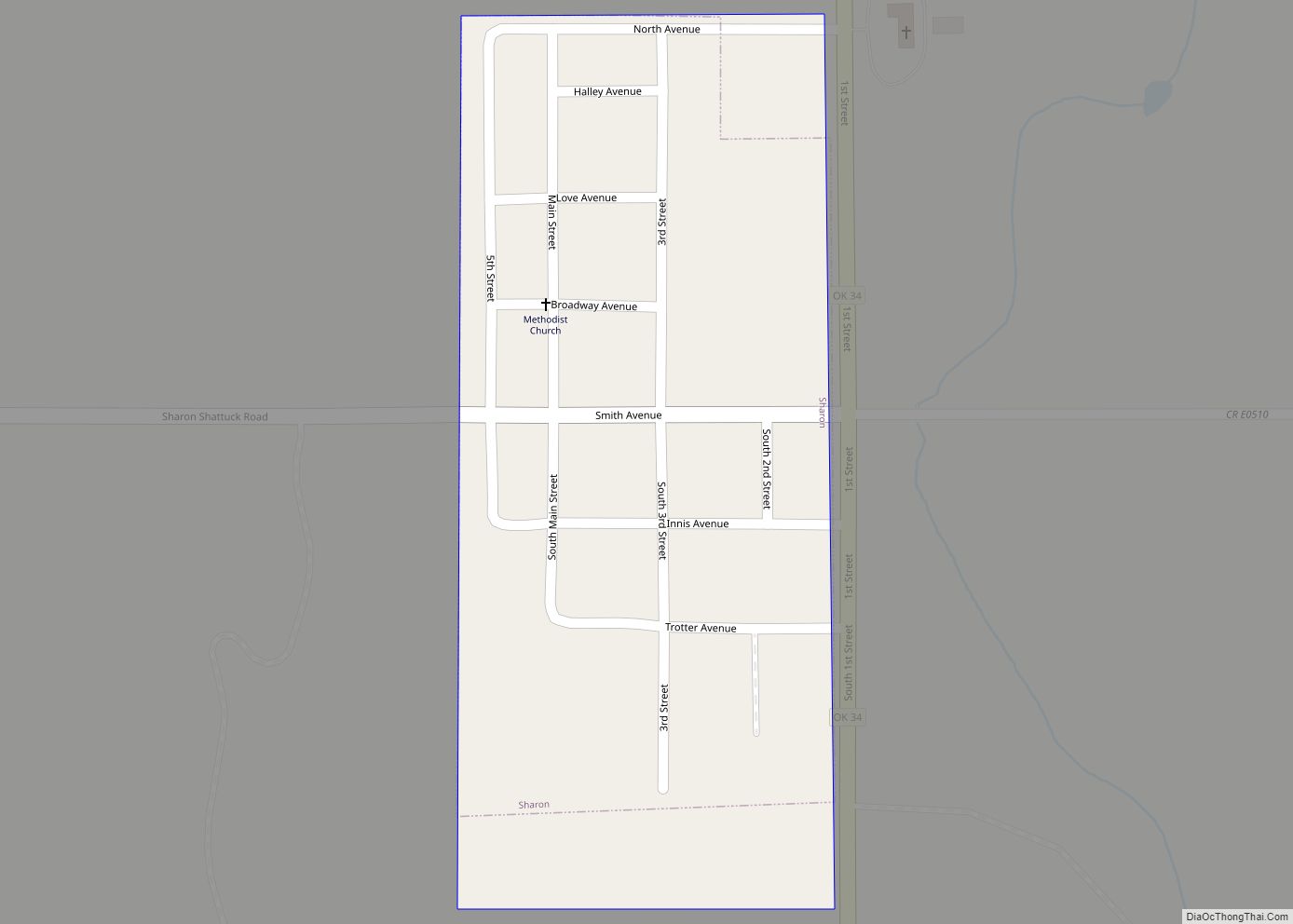
Online Interactive Map
Click on ![]() to view map in "full screen" mode.
to view map in "full screen" mode.
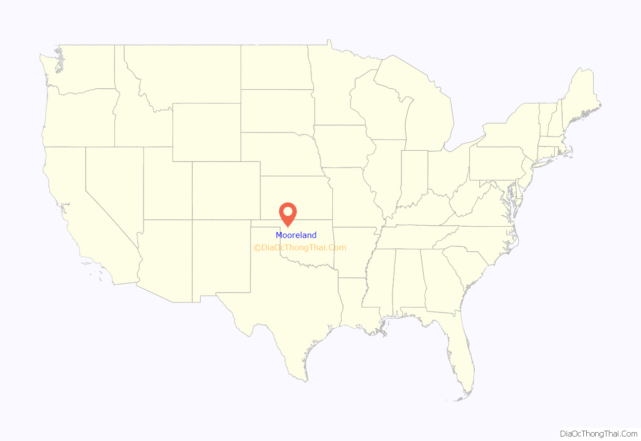
Mooreland location map. Where is Mooreland town?
History
The Southern Kansas Railway, later the Atchison, Topeka and Santa Fe Railway, constructed a line in 1886/1887 and then furnished an accessible shipping point for the region. After the opening of Cherokee Outlet in 1893, homesteaders made efforts that resulted in the town of Mooreland.
Prosperous area resident J. H. Dail joined F. J. Knittel, John J. Bouquot, John E. Moseley, and William M. Holmes in founding the Mooreland Town Company. They and others realized the agricultural potential of the area and the possibility of immense crop production.
Mooreland Town Company founded the town of ‘Dail City, named for its chief proprietor, in 1901. The company purchased land from the Knittel homestead and the W. F. Jones homestead for the platting of the original town site. Others helpful in development of Mooreland included John T. Davis, C. L. Lambert, J. C. Krouth, and John Arnold. Residents quickly petitioned the federal government for a post office. Because of already another “Dail” in Oklahoma Territory, the government denied the request. Residents then selected the name “Moreland.” An error occurred when an extra “o” inadvertently crept into the name on the official plat and registration.
In March 1902, the government established the first Mooreland post office with F. M. Jones as first appointed postmaster. Mooreland Leader newspaper began publishing in 1903 and continues today.
The economy always depended on farming, primarily wheat and grain. An agricultural service center within a few years of its founding, the community supported four stores, two liveries, three grain elevators, a feed mill, saloons, restaurants, hotels, and medical personnel.
A minor oil boom occurred around the time of World War I. Mooreland began smaller than Woodward, Curtis, and Quinlan, Oklahoma. Curtis and Quinlan withered, but Mooreland and Woodward continued to prosper.
Mooreland celebrated its centennial in 2001 with the publication of a history book. The community includes a school district, six churches, a newspaper, an airport, farmers cooperative and elevators, and several dozen retail and service businesses necessary for survival of the town. Primary employers include Mooreland Public Schools, Western Farmers Electric Cooperative, and Prather Cues (a pool cue stick company).
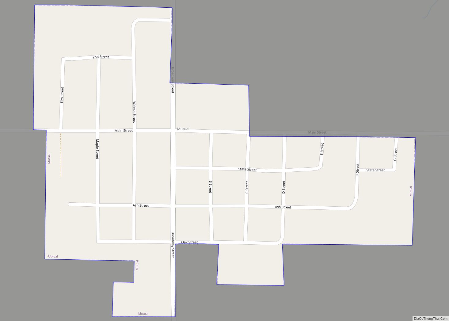
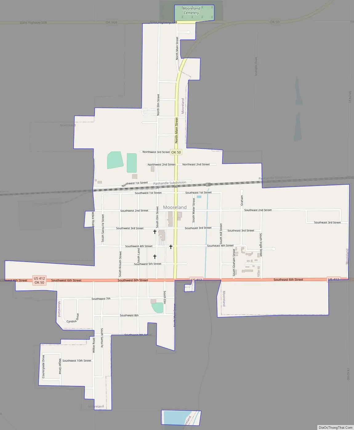
Mooreland Road Map
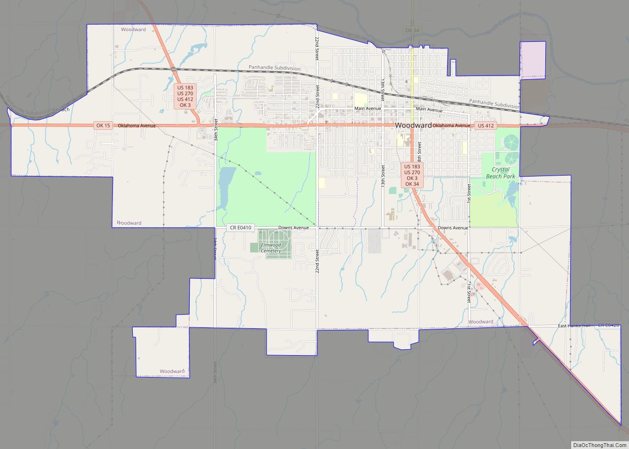
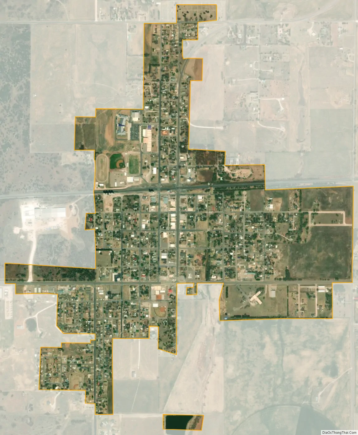
Mooreland city Satellite Map
Geography
Mooreland is located at 36°26′15″N 99°12′20″W / 36.43750°N 99.20556°W / 36.43750; -99.20556 (36.437517, -99.205420).
According to the United States Census Bureau, the town has a total area of 0.8 square miles (2.1 km), all land.
See also
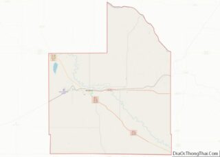
Map of Oklahoma State and its subdivision:- Adair
- Alfalfa
- Atoka
- Beaver
- Beckham
- Blaine
- Bryan
- Caddo
- Canadian
- Carter
- Cherokee
- Choctaw
- Cimarron
- Cleveland
- Coal
- Comanche
- Cotton
- Craig
- Creek
- Custer
- Delaware
- Dewey
- Ellis
- Garfield
- Garvin
- Grady
- Grant
- Greer
- Harmon
- Harper
- Haskell
- Hughes
- Jackson
- Jefferson
- Johnston
- Kay
- Kingfisher
- Kiowa
- Latimer
- Le Flore
- Lincoln
- Logan
- Love
- Major
- Marshall
- Mayes
- McClain
- McCurtain
- McIntosh
- Murray
- Muskogee
- Noble
- Nowata
- Okfuskee
- Oklahoma
- Okmulgee
- Osage
- Ottawa
- Pawnee
- Payne
- Pittsburg
- Pontotoc
- Pottawatomie
- Pushmataha
- Roger Mills
- Rogers
- Seminole
- Sequoyah
- Stephens
- Texas
- Tillman
- Tulsa
- Wagoner
- Washington
- Washita
- Woods
- Woodward
- Alabama
- Alaska
- Arizona
- Arkansas
- California
- Colorado
- Connecticut
- Delaware
- District of Columbia
- Florida
- Georgia
- Hawaii
- Idaho
- Illinois
- Indiana
- Iowa
- Kansas
- Kentucky
- Louisiana
- Maine
- Maryland
- Massachusetts
- Michigan
- Minnesota
- Mississippi
- Missouri
- Montana
- Nebraska
- Nevada
- New Hampshire
- New Jersey
- New Mexico
- New York
- North Carolina
- North Dakota
- Ohio
- Oklahoma
- Oregon
- Pennsylvania
- Rhode Island
- South Carolina
- South Dakota
- Tennessee
- Texas
- Utah
- Vermont
- Virginia
- Washington
- West Virginia
- Wisconsin
- Wyoming