Morrison is a town in southeastern Noble County, Oklahoma, United States. The population was 733 at the 2010 census, an increase from the figure of 636 in 2000.
| Name: | Morrison town |
|---|---|
| LSAD Code: | 43 |
| LSAD Description: | town (suffix) |
| State: | Oklahoma |
| County: | Noble County |
| Elevation: | 935 ft (285 m) |
| Total Area: | 1.39 sq mi (3.61 km²) |
| Land Area: | 1.39 sq mi (3.61 km²) |
| Water Area: | 0.00 sq mi (0.00 km²) |
| Total Population: | 723 |
| Population Density: | 518.65/sq mi (200.20/km²) |
| ZIP code: | 73061 |
| Area code: | 580 |
| FIPS code: | 4049450 |
| GNISfeature ID: | 1095526 |
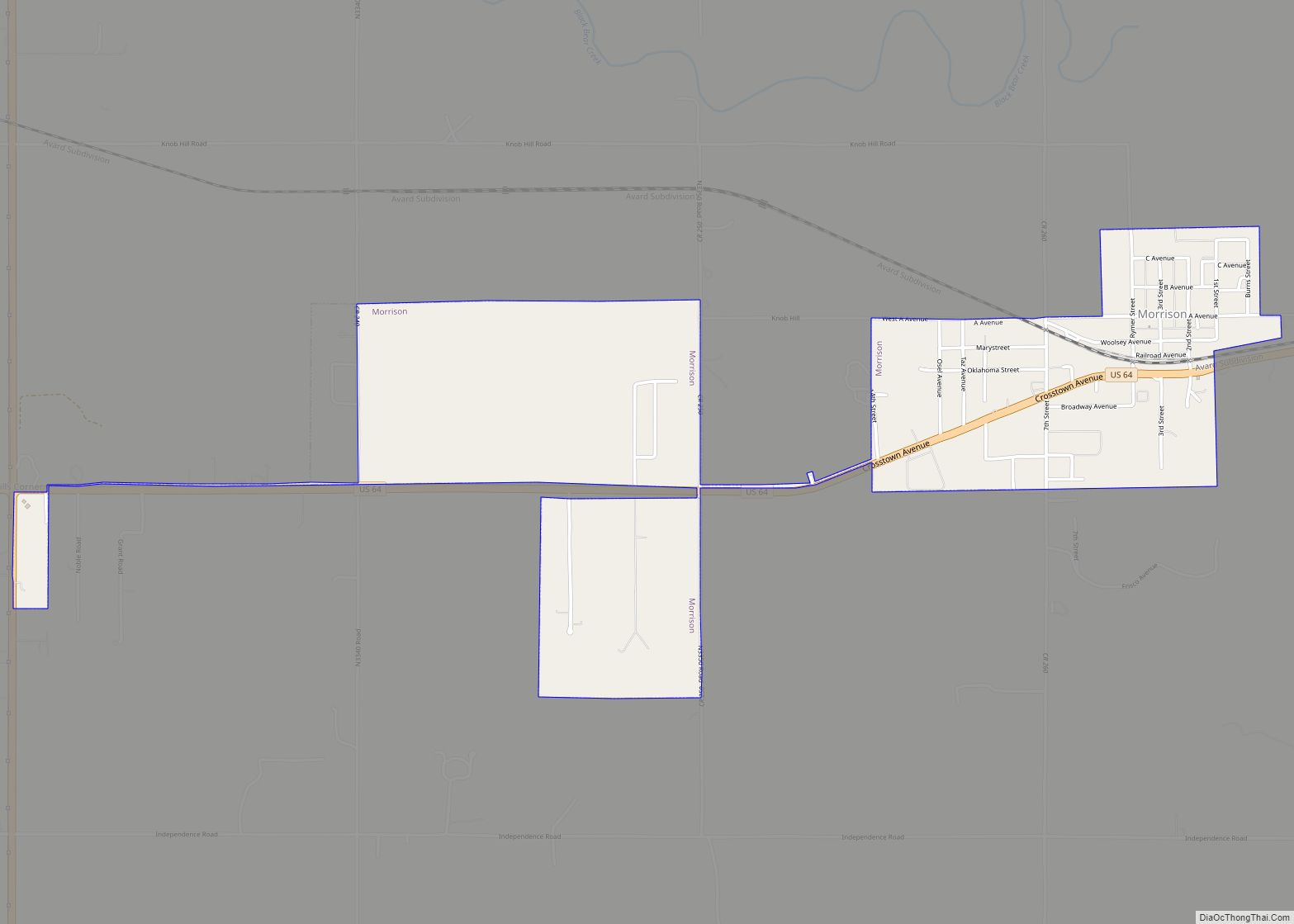
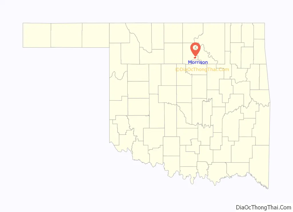
Online Interactive Map
Click on ![]() to view map in "full screen" mode.
to view map in "full screen" mode.
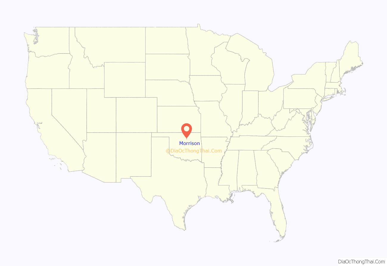
Morrison location map. Where is Morrison town?
History
Morrison is located in the former Cherokee Outlet, which was created for the Cherokee Nation in 1835 from former Osage hunting grounds. The Outlet was opened to non-Indian settlement by the Cherokee Strip Land Run in September 1893. The Morrison community emerged in 1894 on land that was once the Osage tribe’s hunting grounds.
Roselda Morrison, wife of James Morrison, owned the land upon which the town emerged. Nearby, a man named Autry (for whom the township was named) built a store, which received a postal designation as Autry in 1893. The post office was renamed Morrison in February 1894, after James Morrison bought the store. Morrison donated 40 acres (16 ha) for a town, which was surveyed and platted in August 1894. The town of Morrison incorporated on August 13, 1894.
The Morrison business district moved a short distance south in 1902, when the Arkansas Valley and Western Railroad (after 1907 a part of the St. Louis and San Francisco Railway system, or Frisco,) surveyed its Tulsa-Pawnee-Perry-Enid line. The railroad laid its tracks through the town in the same year. With railroad access, Morrison became an agricultural center, serving ranchers and wheat farmers.
Morrison’s economy was enhanced when oil prospectors discovered large natural gas fields in Pawnee County, east of Morrison, between 1915 and 1919. These were the largest fields discovered in Oklahoma up until that time. Pipelines collected the gas and moved it to Oklahoma City. Oil was discovered north of Morrison in 1923. These discoveries protected the town from the post-World War I agricultural depression that affected many other Oklahoma farm towns.
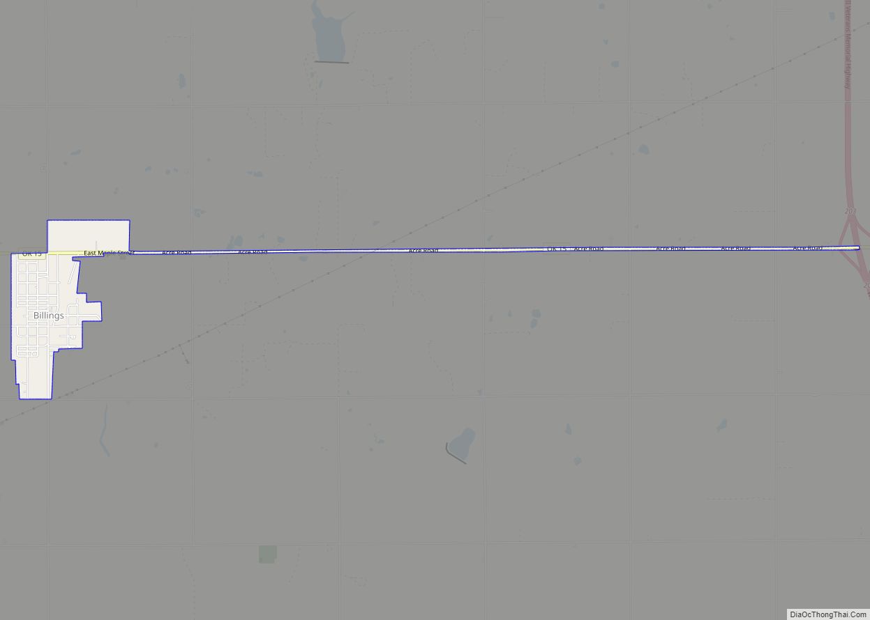
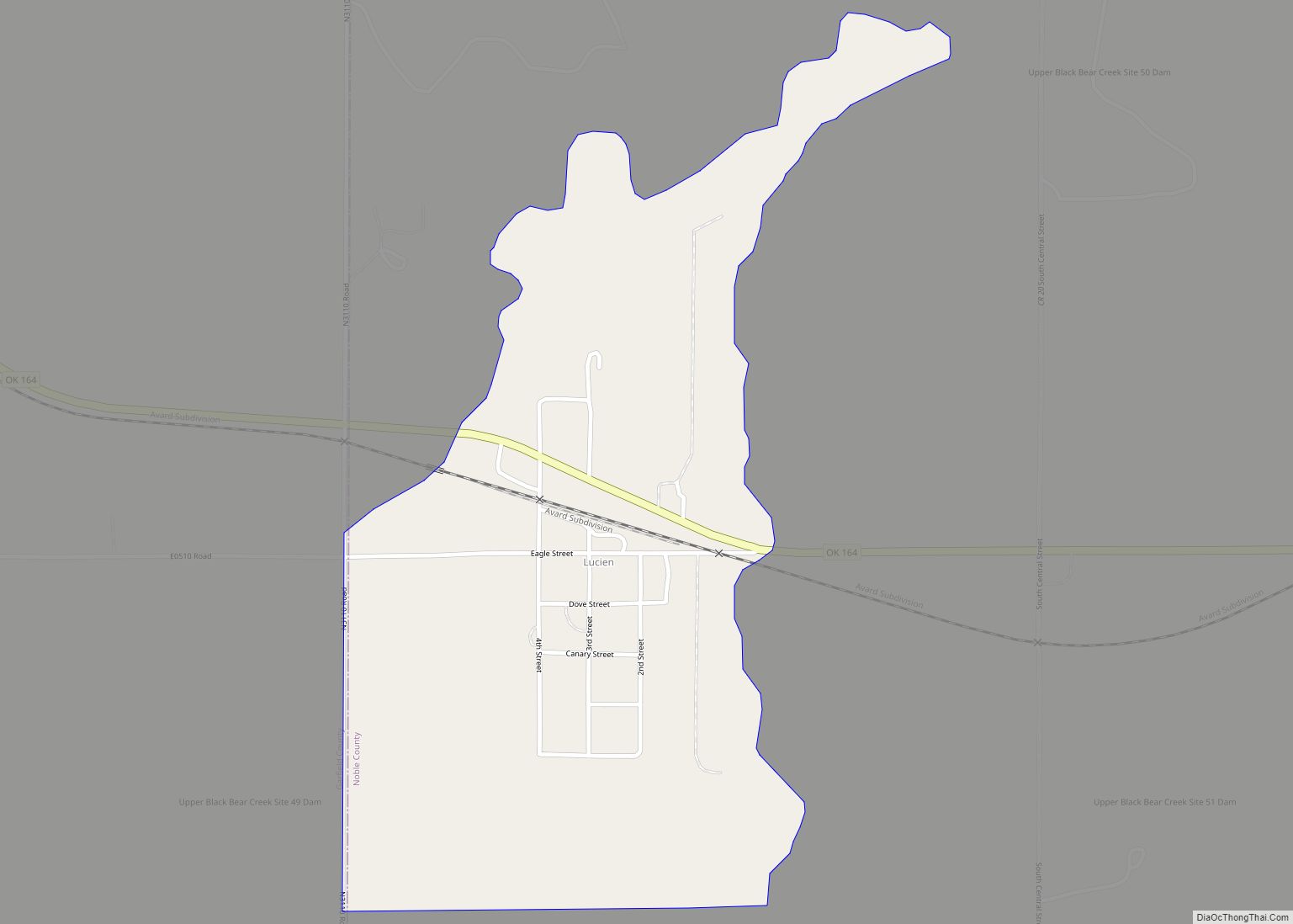
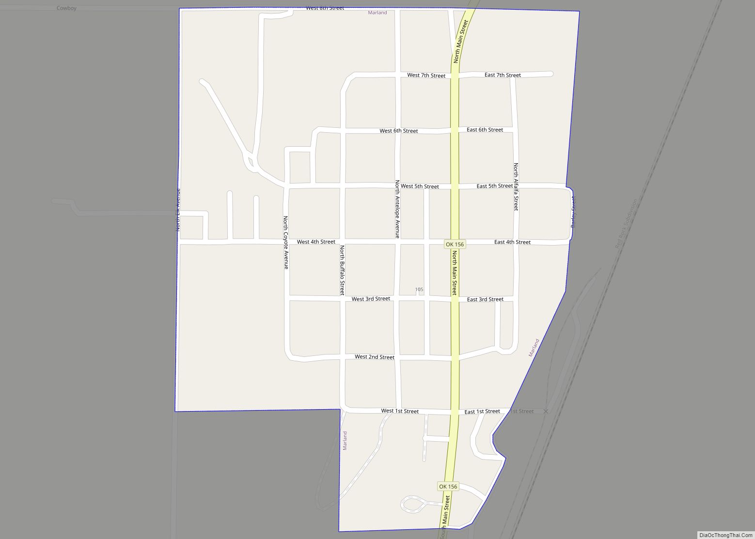
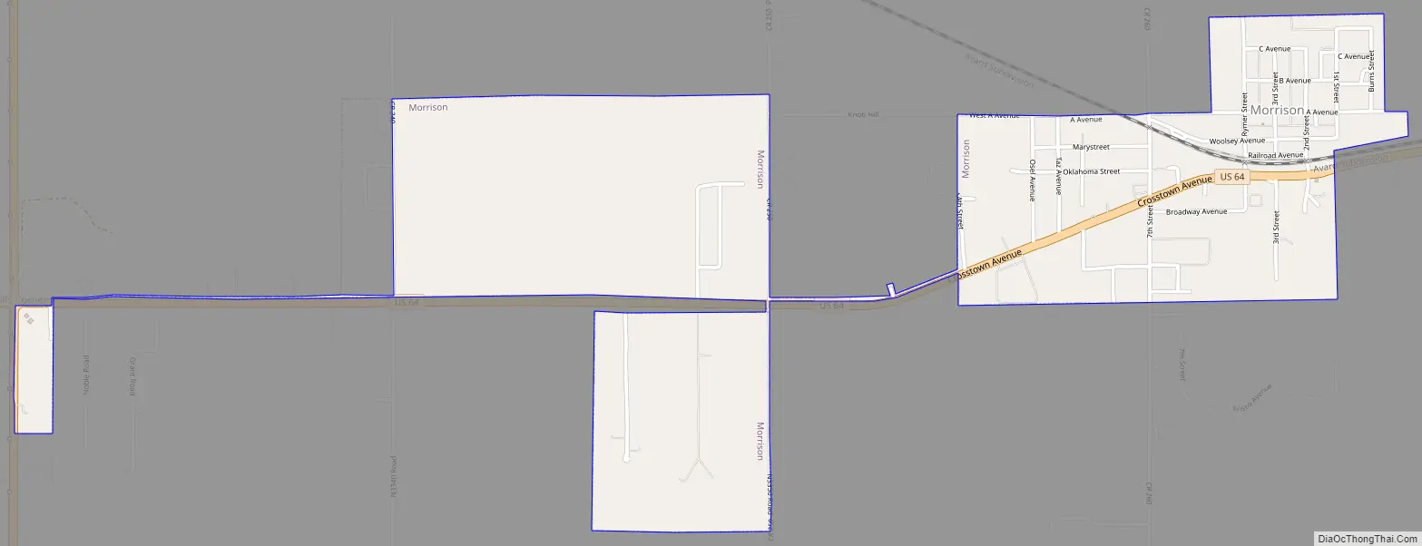
Morrison Road Map
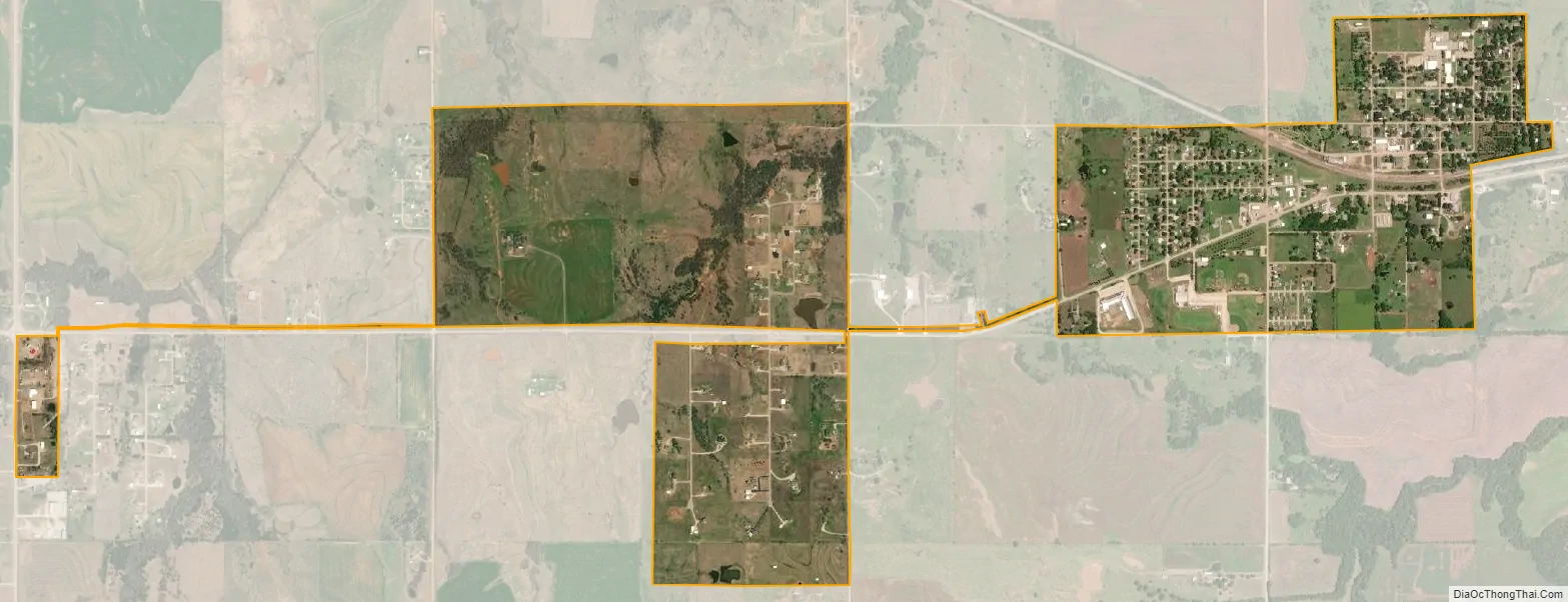
Morrison city Satellite Map
Geography
Morrison is located at 36°17′45″N 97°00′40″W / 36.2958°N 97.0111°W / 36.2958; -97.0111. Morrison is 16 miles (26 km) east of Perry. According to the United States Census Bureau, the town has a total area of 0.6 square miles (1.6 km), all land.
See also
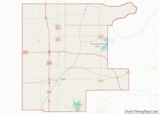
Map of Oklahoma State and its subdivision:- Adair
- Alfalfa
- Atoka
- Beaver
- Beckham
- Blaine
- Bryan
- Caddo
- Canadian
- Carter
- Cherokee
- Choctaw
- Cimarron
- Cleveland
- Coal
- Comanche
- Cotton
- Craig
- Creek
- Custer
- Delaware
- Dewey
- Ellis
- Garfield
- Garvin
- Grady
- Grant
- Greer
- Harmon
- Harper
- Haskell
- Hughes
- Jackson
- Jefferson
- Johnston
- Kay
- Kingfisher
- Kiowa
- Latimer
- Le Flore
- Lincoln
- Logan
- Love
- Major
- Marshall
- Mayes
- McClain
- McCurtain
- McIntosh
- Murray
- Muskogee
- Noble
- Nowata
- Okfuskee
- Oklahoma
- Okmulgee
- Osage
- Ottawa
- Pawnee
- Payne
- Pittsburg
- Pontotoc
- Pottawatomie
- Pushmataha
- Roger Mills
- Rogers
- Seminole
- Sequoyah
- Stephens
- Texas
- Tillman
- Tulsa
- Wagoner
- Washington
- Washita
- Woods
- Woodward
- Alabama
- Alaska
- Arizona
- Arkansas
- California
- Colorado
- Connecticut
- Delaware
- District of Columbia
- Florida
- Georgia
- Hawaii
- Idaho
- Illinois
- Indiana
- Iowa
- Kansas
- Kentucky
- Louisiana
- Maine
- Maryland
- Massachusetts
- Michigan
- Minnesota
- Mississippi
- Missouri
- Montana
- Nebraska
- Nevada
- New Hampshire
- New Jersey
- New Mexico
- New York
- North Carolina
- North Dakota
- Ohio
- Oklahoma
- Oregon
- Pennsylvania
- Rhode Island
- South Carolina
- South Dakota
- Tennessee
- Texas
- Utah
- Vermont
- Virginia
- Washington
- West Virginia
- Wisconsin
- Wyoming