Mountain Park is a town in Kiowa County, Oklahoma, United States. The population was 409 at the 2010 census, a 4.9 percent increase from 390 in 2000.
| Name: | Mountain Park town |
|---|---|
| LSAD Code: | 43 |
| LSAD Description: | town (suffix) |
| State: | Oklahoma |
| County: | Kiowa County |
| Elevation: | 1,371 ft (418 m) |
| Total Area: | 0.75 sq mi (1.95 km²) |
| Land Area: | 0.75 sq mi (1.95 km²) |
| Water Area: | 0.00 sq mi (0.00 km²) |
| Total Population: | 320 |
| Population Density: | 424.97/sq mi (163.98/km²) |
| ZIP code: | 73559 |
| Area code: | 580 |
| FIPS code: | 4049600 |
| GNISfeature ID: | 1095649 |
Online Interactive Map
Click on ![]() to view map in "full screen" mode.
to view map in "full screen" mode.
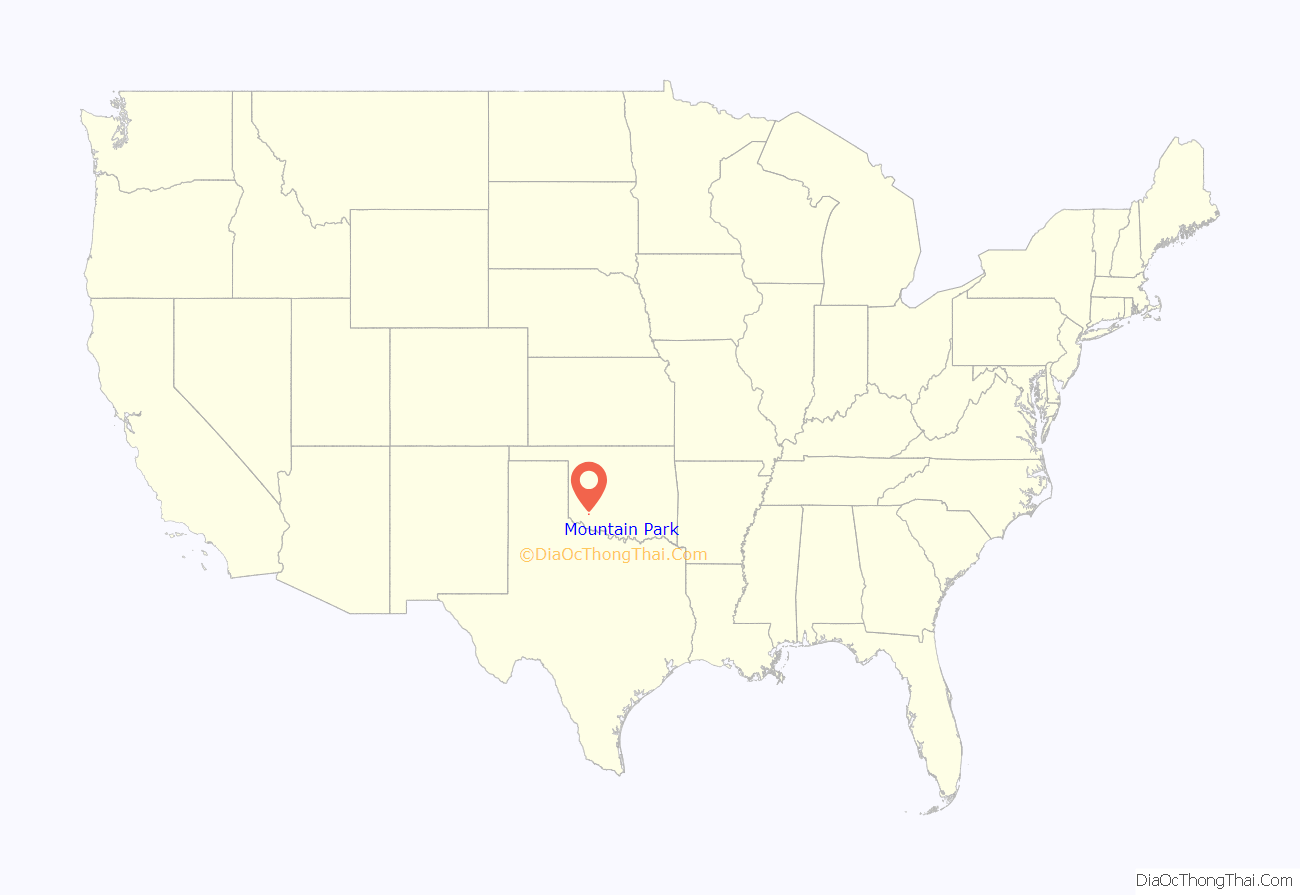
Mountain Park location map. Where is Mountain Park town?
History
The town of Mountain Park began as a trading post named Burford, near the Wichita Mountains in southern Oklahoma Territory. A post office was established at Burford in August 1901, just after the Kiowa, Comanche, and Apache Reservation opened for settlement by non-Indians. In February 1902, the town that had sprung up around the trading post and changed its name to Mountain Park. Fires destroyed most of the wood-frame buildings along Main Street in 1906 and 1908. The town rebuilt with all brick structures.
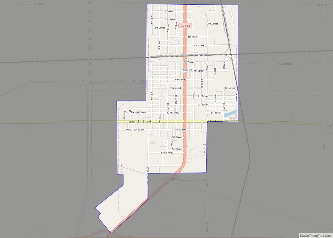
According to Encyclopedia of Oklahoma History and Culture, the Oklahoma City and Western Railroad offered Mountain Park resident Sol Bracken six thousand dollars for a 160 acres (65 ha) tract on which to build a station. Bracken refused the offer as insufficient and demanded more money. Instead, company officials rerouted their railroad through the town of Snyder, two miles south of Mountain Park. As a result, 41 of the 47 businesses in Mountain Park promptly moved to Snyder.
By statehood in 1907, Mountain Park had 381 residents. In 1910, it was named the county seat of the short-lived Swanson County. That county was abolished in the following year. The local economy was based on cotton and wheat production, as well as granite quarrying. The population rose to 459 by 1930. Census population peaked at 557 in 1980, then declined to 390 in 2000.
On March 7, 2008, KSWO-TV reported that the former town clerk was fired for allegedly secretly embezzling $100,000 over a period of two years, leaving the town unable to pay its bills and forcing it to raise utility rates for residents. [1]
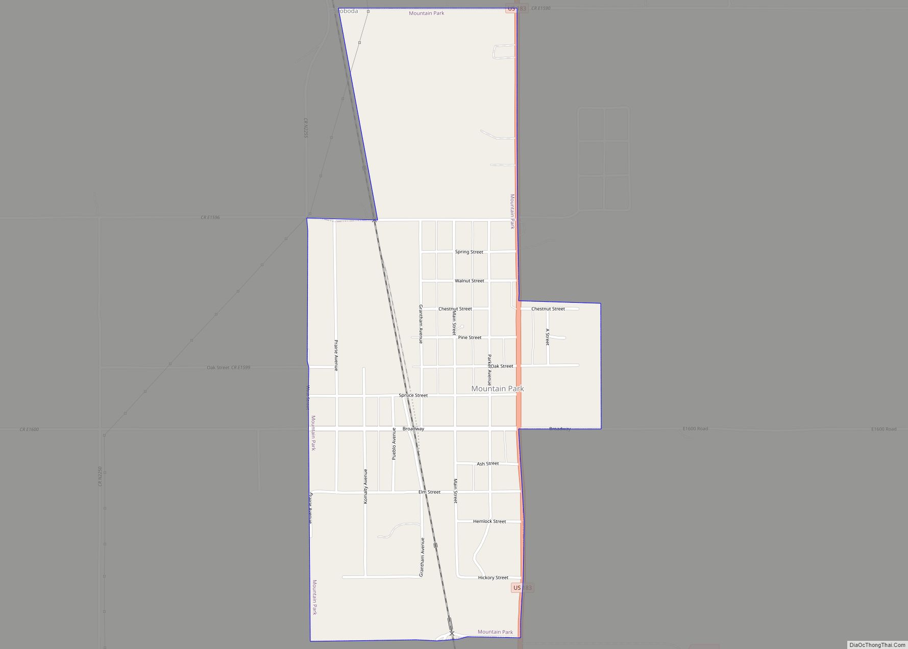
Mountain Park Road Map
Mountain Park city Satellite Map
Geography
Mountain Park is located at 34°41′48″N 98°57′07″W / 34.696533°N 98.951958°W / 34.696533; -98.951958. It is 28 miles (45 km) south of Hobart, 22 miles (35 km) east of Altus and 36 miles (58 km) west of Lawton.
According to the United States Census Bureau, the town has a total area of 0.8 square miles (2.1 km), all land.
See also
Map of Oklahoma State and its subdivision:- Adair
- Alfalfa
- Atoka
- Beaver
- Beckham
- Blaine
- Bryan
- Caddo
- Canadian
- Carter
- Cherokee
- Choctaw
- Cimarron
- Cleveland
- Coal
- Comanche
- Cotton
- Craig
- Creek
- Custer
- Delaware
- Dewey
- Ellis
- Garfield
- Garvin
- Grady
- Grant
- Greer
- Harmon
- Harper
- Haskell
- Hughes
- Jackson
- Jefferson
- Johnston
- Kay
- Kingfisher
- Kiowa
- Latimer
- Le Flore
- Lincoln
- Logan
- Love
- Major
- Marshall
- Mayes
- McClain
- McCurtain
- McIntosh
- Murray
- Muskogee
- Noble
- Nowata
- Okfuskee
- Oklahoma
- Okmulgee
- Osage
- Ottawa
- Pawnee
- Payne
- Pittsburg
- Pontotoc
- Pottawatomie
- Pushmataha
- Roger Mills
- Rogers
- Seminole
- Sequoyah
- Stephens
- Texas
- Tillman
- Tulsa
- Wagoner
- Washington
- Washita
- Woods
- Woodward
- Alabama
- Alaska
- Arizona
- Arkansas
- California
- Colorado
- Connecticut
- Delaware
- District of Columbia
- Florida
- Georgia
- Hawaii
- Idaho
- Illinois
- Indiana
- Iowa
- Kansas
- Kentucky
- Louisiana
- Maine
- Maryland
- Massachusetts
- Michigan
- Minnesota
- Mississippi
- Missouri
- Montana
- Nebraska
- Nevada
- New Hampshire
- New Jersey
- New Mexico
- New York
- North Carolina
- North Dakota
- Ohio
- Oklahoma
- Oregon
- Pennsylvania
- Rhode Island
- South Carolina
- South Dakota
- Tennessee
- Texas
- Utah
- Vermont
- Virginia
- Washington
- West Virginia
- Wisconsin
- Wyoming
