Muskogee (/məˈskoʊɡiː/) is the thirteenth-largest city in Oklahoma and the county seat of Muskogee County. Home to Bacone College, it lies approximately 48 miles (77 km) southeast of Tulsa. The population of the city was 36,878 as of the 2020 census, a 6.0 percent decrease from 39,223 in 2010.
| Name: | Muskogee city |
|---|---|
| LSAD Code: | 25 |
| LSAD Description: | city (suffix) |
| State: | Oklahoma |
| County: | Muskogee County |
| Founded: | March 16, 1898 |
| Elevation: | 604 ft (184 m) |
| Total Area: | 44.48 sq mi (115.21 km²) |
| Land Area: | 42.96 sq mi (111.27 km²) |
| Water Area: | 1.52 sq mi (3.94 km²) |
| Total Population: | 36,878 |
| Population Density: | 858.43/sq mi (331.44/km²) |
| Area code: | 918 |
| FIPS code: | 4050050 |
| Website: | muskogeeonline.org |
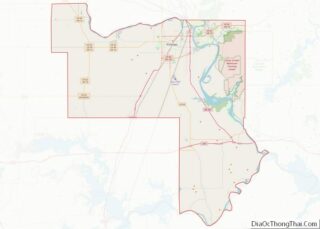
Online Interactive Map
Click on ![]() to view map in "full screen" mode.
to view map in "full screen" mode.
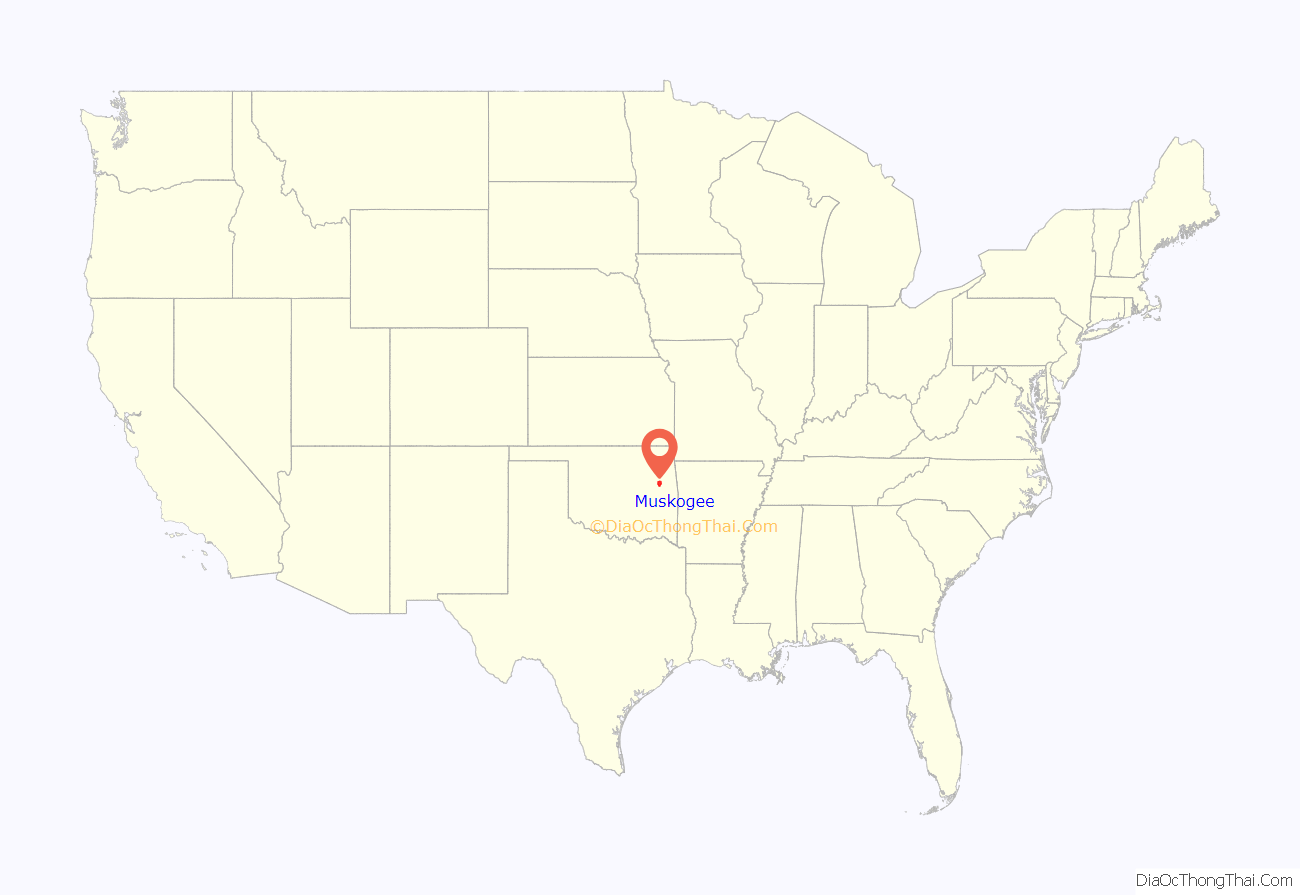
Muskogee location map. Where is Muskogee city?
History
French fur traders were believed to have established a temporary village near the future Muskogee in 1806, but the first permanent European-American settlement was established in 1817 on the south bank of the Verdigris River, north of present-day Muskogee.
After the passage of the Indian Removal Act of 1830 under President Andrew Jackson, the Muscogee Creek Indians were one of the “Five Civilized Tribes” forced out of the American Southeast to Indian Territory. They were accompanied by their slaves. The Indian Agency, a two-story stone building, was built here in Muskogee. It was a site for meetings among the leaders of the Five Civilized Tribes. Today it serves as a museum. At the top of what is known as Agency Hill, it is within Honor Heights Park on the west side of Muskogee.
In 1872, the Missouri–Kansas–Texas Railroad was extended to the area. A federal court was established in Muskogee in 1889, around the same time that Congress opened portions of Indian Territory to non-Native settlers via land rushes. The city was incorporated on March 19, 1898.
Ohio native Charles N. Haskell moved to the city in March 1901. He was instrumental in building on the land rush; he stimulated expansion of the city of more than 4,000 people to a center of business and industry by 1910, with a population of more than 25,000 inhabitants. Haskell built the first five-story business block in Oklahoma Territory; he built and owned fourteen brick buildings in the city. Most importantly, he organized and built most of the railroads running into the city, which connected it to other markets and centers of population, stimulating its business and retail, and attracting new residents.
As Muskogee’s economic and business importance grew, so did its political power. In the years before the territory was admitted as a state, the Five Civilized Tribes continued to work on alternatives to keep some independence from European Americans. They met together August 21, 1905 to propose the State of Sequoyah, to be controlled by Native Americans. They met in Muskogee to draft its constitution, planning to have Muskogee serve as the State’s capital. The proposal was vetoed by US President Theodore Roosevelt and mostly ignored by Congress; the proposed State of Sequoyah was never authorized. The US admitted the State of Oklahoma to the Union on November 16, 1907, as the 46th state.
Muskogee was the operational headquarters of the Muskogee Roads, four regional rail carriers under common management. The first was the Midland Valley Railroad, chartered in 1903. The three carriers surviving until 1963 were sold to the Texas & Pacific, which was a subsidiary of the Missouri Pacific Railroad
Muskogee was on the route of the Jefferson Highway established in 1915. That road ran more than 2,300 miles from Winnipeg, Manitoba, to New Orleans, Louisiana.
Muskogee attracted national and international attention when, in May 2008, voters elected John Tyler Hammons as mayor. Nineteen years old at the time of his election, Hammons is among the youngest mayors in American history.
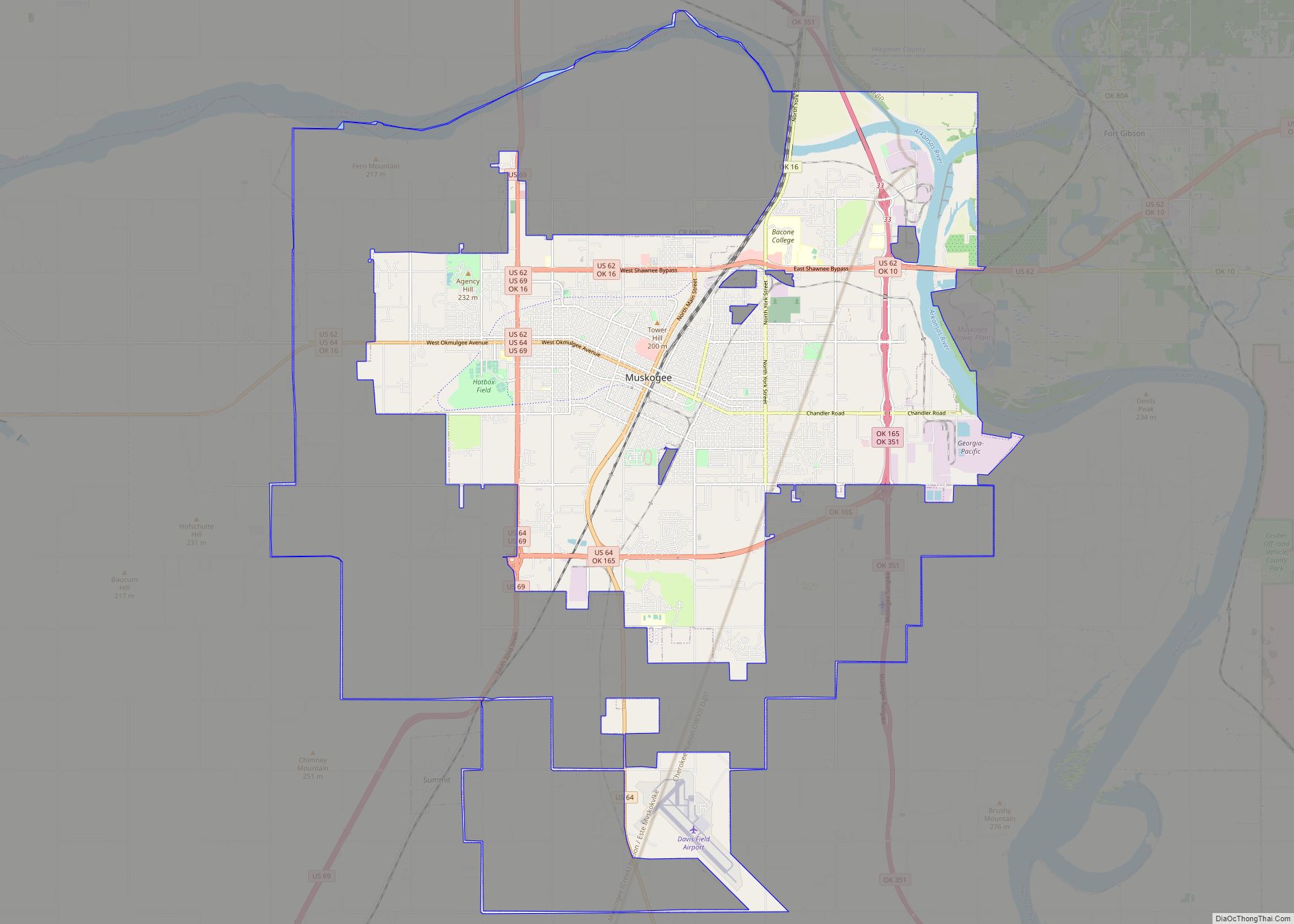
Muskogee Road Map
Muskogee city Satellite Map
Geography
According to the United States Census Bureau, the city has a total area of 38.8 square miles (100 km), of which 37.3 square miles (97 km) is land and 1.4 square miles (3.6 km) (3.69%) is water. Muskogee is near the confluence of the Arkansas River, Verdigris River and Grand River. Historically, the area around this confluence has been called Three Rivers.
Muskogee lies in the Arkansas River Valley and has a low, sea-level elevation compared to much of the rest of the state. The city is on the boundary of the oak and hickory forest region of eastern Oklahoma and the prairie, Great Plains region of northeastern Oklahoma. It is a suburban community of Tulsa.
The city’s climate is considerably warmer and more humid than other parts of the state.
Climate
According to the Köppen Climate Classification system, Muskogee has a humid subtropical climate, abbreviated “Cfa” on climate maps. The hottest temperature recorded in Muskogee was 118 °F (47.8 °C) on August 10, 1936, while the coldest temperature recorded was −14 °F (−25.6 °C) on February 13, 1905.
Floods
Muskogee is a soft spot for floods. In May 2019, waters rose more than 42 feet on the Arkansas River. Those levels had not been reached since 1943 (although 1986 came close with water 39.6 feet high). The U.S.S. Batfish docked at the city’s military harbor broke free on the river. Two barges filled with tons of phosphate broke loose and threatened to break the dam they were heading towards. Webber Falls was ordered to evacuate immediately.
See also
Map of Oklahoma State and its subdivision:- Adair
- Alfalfa
- Atoka
- Beaver
- Beckham
- Blaine
- Bryan
- Caddo
- Canadian
- Carter
- Cherokee
- Choctaw
- Cimarron
- Cleveland
- Coal
- Comanche
- Cotton
- Craig
- Creek
- Custer
- Delaware
- Dewey
- Ellis
- Garfield
- Garvin
- Grady
- Grant
- Greer
- Harmon
- Harper
- Haskell
- Hughes
- Jackson
- Jefferson
- Johnston
- Kay
- Kingfisher
- Kiowa
- Latimer
- Le Flore
- Lincoln
- Logan
- Love
- Major
- Marshall
- Mayes
- McClain
- McCurtain
- McIntosh
- Murray
- Muskogee
- Noble
- Nowata
- Okfuskee
- Oklahoma
- Okmulgee
- Osage
- Ottawa
- Pawnee
- Payne
- Pittsburg
- Pontotoc
- Pottawatomie
- Pushmataha
- Roger Mills
- Rogers
- Seminole
- Sequoyah
- Stephens
- Texas
- Tillman
- Tulsa
- Wagoner
- Washington
- Washita
- Woods
- Woodward
- Alabama
- Alaska
- Arizona
- Arkansas
- California
- Colorado
- Connecticut
- Delaware
- District of Columbia
- Florida
- Georgia
- Hawaii
- Idaho
- Illinois
- Indiana
- Iowa
- Kansas
- Kentucky
- Louisiana
- Maine
- Maryland
- Massachusetts
- Michigan
- Minnesota
- Mississippi
- Missouri
- Montana
- Nebraska
- Nevada
- New Hampshire
- New Jersey
- New Mexico
- New York
- North Carolina
- North Dakota
- Ohio
- Oklahoma
- Oregon
- Pennsylvania
- Rhode Island
- South Carolina
- South Dakota
- Tennessee
- Texas
- Utah
- Vermont
- Virginia
- Washington
- West Virginia
- Wisconsin
- Wyoming
