Nicoma Park is a city in Oklahoma County, Oklahoma, United States, and a part of the Oklahoma City metropolitan area. The name Nicoma is a portmanteau of the first three letters of Nichols, for G.A. Nichols, and the last three letters of Oklahoma. The population was 2,313 at the 2020 census, a 3.3% decrease from 2010.
| Name: | Nicoma Park city |
|---|---|
| LSAD Code: | 25 |
| LSAD Description: | city (suffix) |
| State: | Oklahoma |
| County: | Oklahoma County |
| Elevation: | 1,211 ft (369 m) |
| Total Area: | 3.36 sq mi (8.70 km²) |
| Land Area: | 3.36 sq mi (8.70 km²) |
| Water Area: | 0.00 sq mi (0.00 km²) |
| Total Population: | 2,313 |
| Population Density: | 688.39/sq mi (265.76/km²) |
| ZIP code: | 73066 |
| Area code: | 405 |
| FIPS code: | 4051850 |
| GNISfeature ID: | 1095875 |
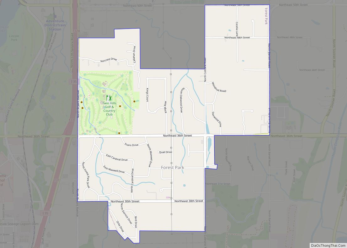
Online Interactive Map
Click on ![]() to view map in "full screen" mode.
to view map in "full screen" mode.
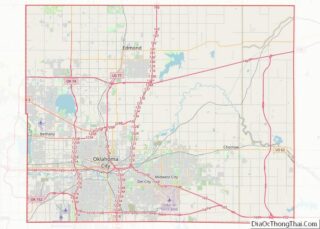
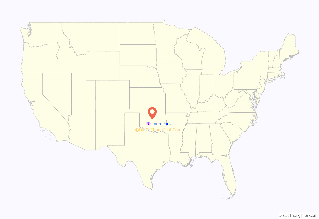
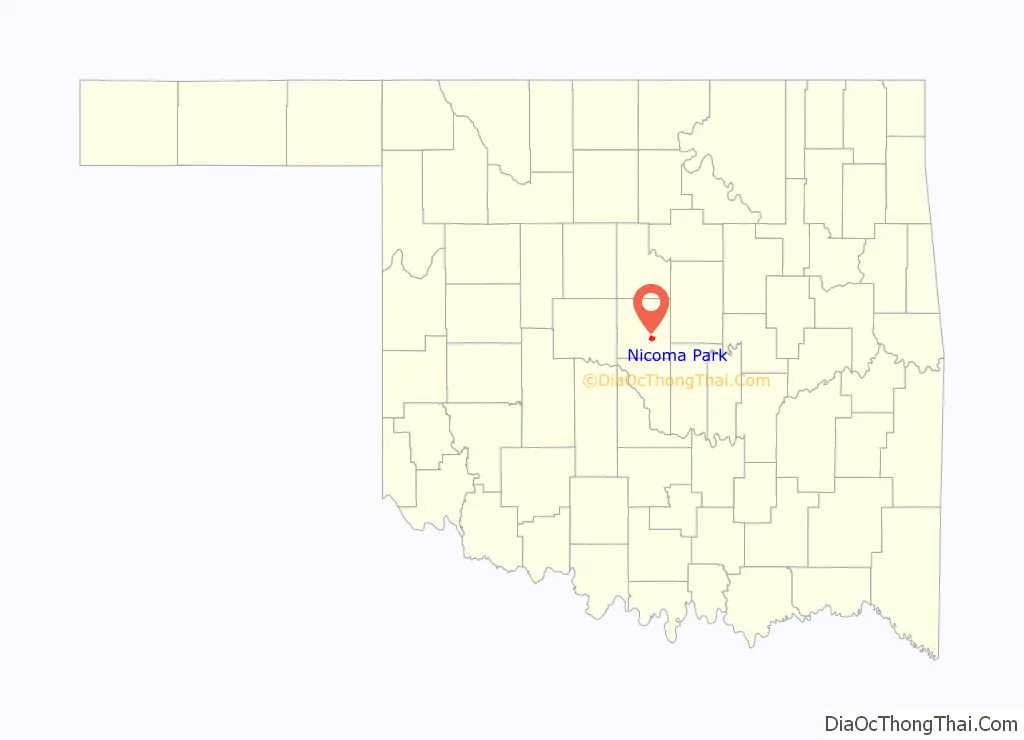
Nicoma Park location map. Where is Nicoma Park city?
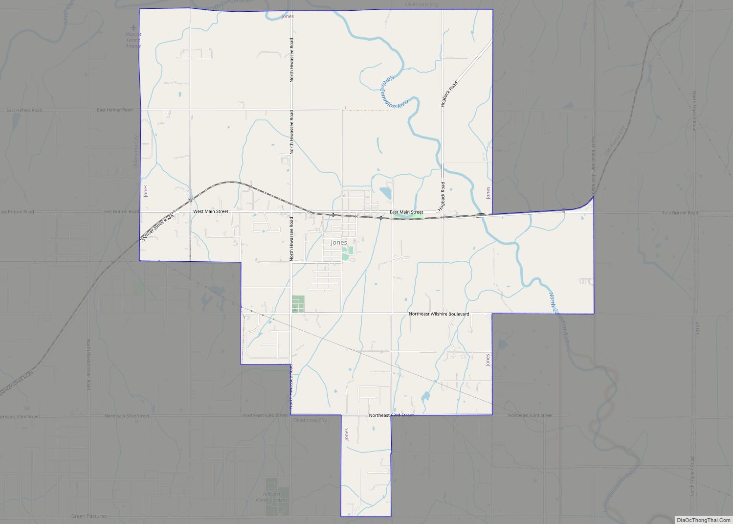
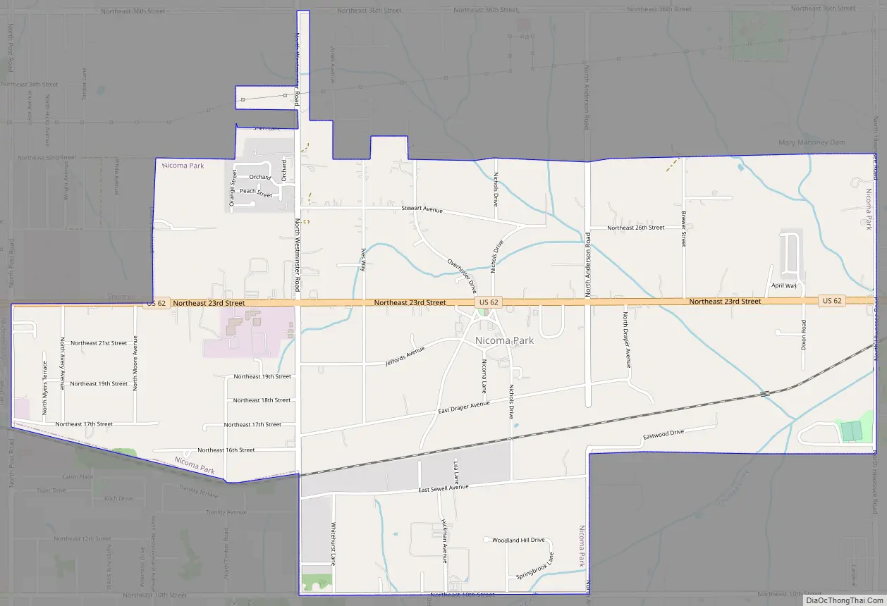
Nicoma Park Road Map
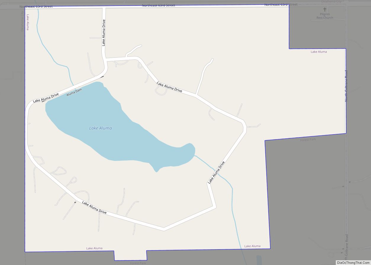
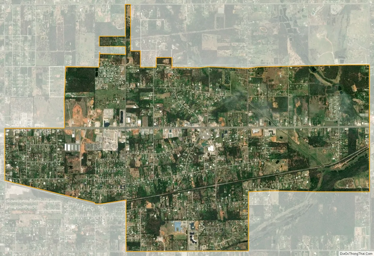
Nicoma Park city Satellite Map
Geography
Nicoma Park is located at 35°29′29″N 97°19′43″W / 35.49139°N 97.32861°W / 35.49139; -97.32861 (35.491411, -97.328519).
According to the United States Census Bureau, the city has a total area of 3.3 square miles (8.5 km), all land.
See also
Map of Oklahoma State and its subdivision:- Adair
- Alfalfa
- Atoka
- Beaver
- Beckham
- Blaine
- Bryan
- Caddo
- Canadian
- Carter
- Cherokee
- Choctaw
- Cimarron
- Cleveland
- Coal
- Comanche
- Cotton
- Craig
- Creek
- Custer
- Delaware
- Dewey
- Ellis
- Garfield
- Garvin
- Grady
- Grant
- Greer
- Harmon
- Harper
- Haskell
- Hughes
- Jackson
- Jefferson
- Johnston
- Kay
- Kingfisher
- Kiowa
- Latimer
- Le Flore
- Lincoln
- Logan
- Love
- Major
- Marshall
- Mayes
- McClain
- McCurtain
- McIntosh
- Murray
- Muskogee
- Noble
- Nowata
- Okfuskee
- Oklahoma
- Okmulgee
- Osage
- Ottawa
- Pawnee
- Payne
- Pittsburg
- Pontotoc
- Pottawatomie
- Pushmataha
- Roger Mills
- Rogers
- Seminole
- Sequoyah
- Stephens
- Texas
- Tillman
- Tulsa
- Wagoner
- Washington
- Washita
- Woods
- Woodward
- Alabama
- Alaska
- Arizona
- Arkansas
- California
- Colorado
- Connecticut
- Delaware
- District of Columbia
- Florida
- Georgia
- Hawaii
- Idaho
- Illinois
- Indiana
- Iowa
- Kansas
- Kentucky
- Louisiana
- Maine
- Maryland
- Massachusetts
- Michigan
- Minnesota
- Mississippi
- Missouri
- Montana
- Nebraska
- Nevada
- New Hampshire
- New Jersey
- New Mexico
- New York
- North Carolina
- North Dakota
- Ohio
- Oklahoma
- Oregon
- Pennsylvania
- Rhode Island
- South Carolina
- South Dakota
- Tennessee
- Texas
- Utah
- Vermont
- Virginia
- Washington
- West Virginia
- Wisconsin
- Wyoming