Okemah (/ˌoʊˈkiːmə/ or /ˈʌkimə/) is the largest city in and the county seat of Okfuskee County, Oklahoma, United States. It is the birthplace of folk music legend Woody Guthrie. Thlopthlocco Tribal Town, a federally recognized Muscogee Indian tribe, is headquartered in Okemah. The population was 3,078 at the 2020 census, a 6.1 percent decline from 3,223 at the 2010 census.
| Name: | Okemah city |
|---|---|
| LSAD Code: | 25 |
| LSAD Description: | city (suffix) |
| State: | Oklahoma |
| County: | Okfuskee County |
| Elevation: | 912 ft (278 m) |
| Total Area: | 3.20 sq mi (8.28 km²) |
| Land Area: | 3.10 sq mi (8.03 km²) |
| Water Area: | 0.10 sq mi (0.25 km²) |
| Total Population: | 3,074 |
| Population Density: | 990.97/sq mi (382.59/km²) |
| ZIP code: | 74859 |
| Area code: | 539/918 |
| FIPS code: | 4054200 |
| GNISfeature ID: | 1096198 |
| Website: | okemahok.org |
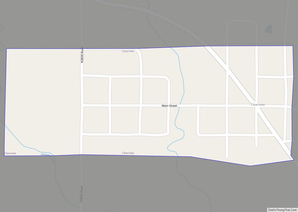
Online Interactive Map
Click on ![]() to view map in "full screen" mode.
to view map in "full screen" mode.
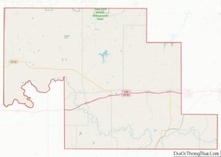
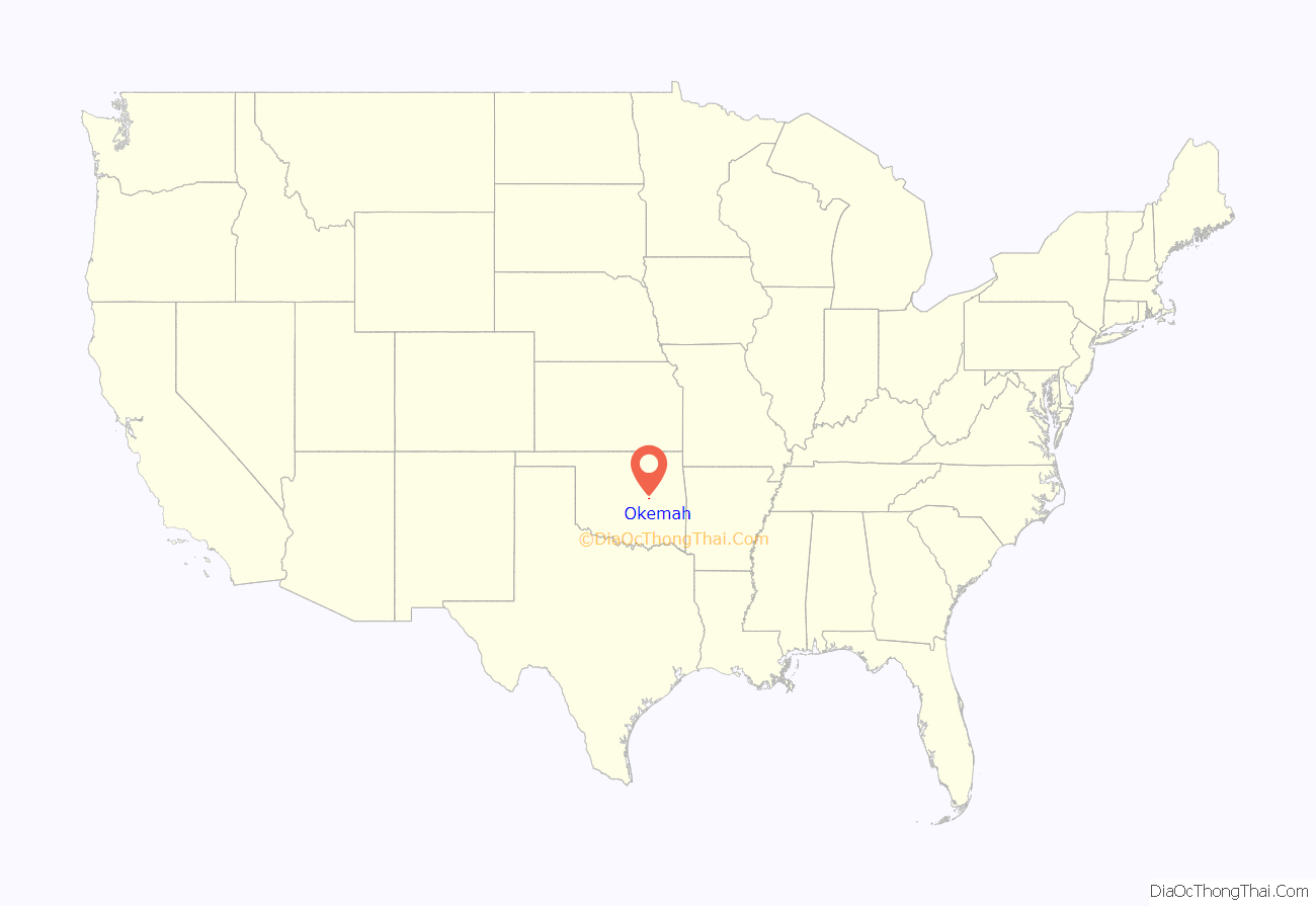
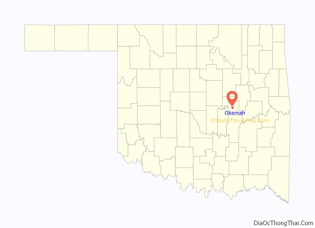
Okemah location map. Where is Okemah city?
History
Historically occupied by the Osage and Quapaw, who ceded their lands to the United States by 1825, the area was assigned to the Creek Nation and specifically the Thlopthlocco Tribal Town after Indian Removal of tribes from the Southeast United States in the 1830s.
Okemah was named after a Kickapoo Indian chief. In March 1902, Chief Okemah built a bark house in his tribe’s traditional fashion. He had come to await the opening of the townsite, which took his name on April 22, 1902. In the Kickapoo language, okemah means “things up high,” such as a highly placed person or town, or high ground.
In preparation for Oklahoma’s statehood, the Dawes Commission was authorized in 1896 to work with the Five Civilized Tribes to enroll their members for allotments of tribal land to individual households. Registration of tribal members lasted from 1898 to 1906. After allotment, the government was going to declare the remaining tribal lands “surplus” and sell them to European-American settlers.
Okemah was platted by a group of Shawnee residents in March 1902 on land belonging to Mahala and Nocus Fixico, full-blood Creek. The Fixicos had no legal right at the time to sell their holding, as enrollment of tribal members on the Dawes Roll continued until 1906, and no land-sales were to take place by Indians until it was completed. That did not appear to affect the promoters or the development of the town.
On April 22, 1902, the formal opening launched the town. A post office opened on May 16, and the town was incorporated in 1903. In the spring of 1904, Commission restrictions on the sale of townsite lots were removed. The Department of the Interior trustees of land held by American Indians paid the Fixicos $50 an acre for their land, and gave legal deeds to the purchasers who claimed title.
In the town’s first week, the following stores were established: four general merchandise, two hardware, one 5 & 10 cent store, three drugstores, four groceries, three wagon-yards, four lumberyards, three cafes, one bakery, two millineries, four livery-barns, three blacksmiths, two dairies, two cotton-gins, and two weekly newspapers. Eight doctors settled there, four lawyers, two walnut log buyers, and one Chinese laundryman. Two hotels were quickly put up, including the three-story Broadway hotel, which set the city apart as an important town in early Oklahoma.
Okfuskee County had been organized at the time of statehood in 1907. Okemah was chosen as county seat in a county election held August 27, 1908.
Firsts
The townsite was selected by two railroad surveyors, Perry Rodkey and H.R. Dexter. Dexter is credited with choosing the town name. They picked the site believing that two railroads, the Fort Smith and Western Railroad and the Ozark and Cherokee Central Railway (later the St. Louis and San Francisco Railway) would intersect there. While the former did build a line through the site, the latter never did.
The town’s first state-chartered bank began business the day of the opening, April 22, 1902, in a tent on the northwest corner of the present Fifth and Broadway (now City Hall). C. J. Benson was president. W. H. Dill was vice president and served as cashier. It became the First National Bank in 1903, but was liquidated in 1939, having failed due to the Dust Bowl and the Great Depression.
J. E. Galloway was the first mayor; Perry Rodkey, first postman; E. D. Dexter, first hotel operator; Dill ran the first telephone company; John D. Richards had the first hardware store; McGee Brothers put in the first cotton gin; and E. E. Shook established the first lumberyard. The first church in the city was the North Methodist, at Sixth and Ash, but the first church service Baptist, presided over by the Rev. Black. The editor Charles Barnclaw published the first newspaper.
Lynching
Although a police force was organized in the town soon after its founding (a Mr. Franklin wore the first city policeman’s badge), vigilantes were active during Okemah’s early years. Law enforcement and justices of the peace were located some distance away. The vigilantes appeared to have had almost complete freedom of action.
In 1911, a black woman, 35-year-old Laura Nelson, and her teenage son, L. D., were lynched by a mob of white men. Accused of killing a police officer in an altercation at their home near Paden, they were kidnapped from the Okemah county jail and hanged from a suspension bridge over the North Canadian River.
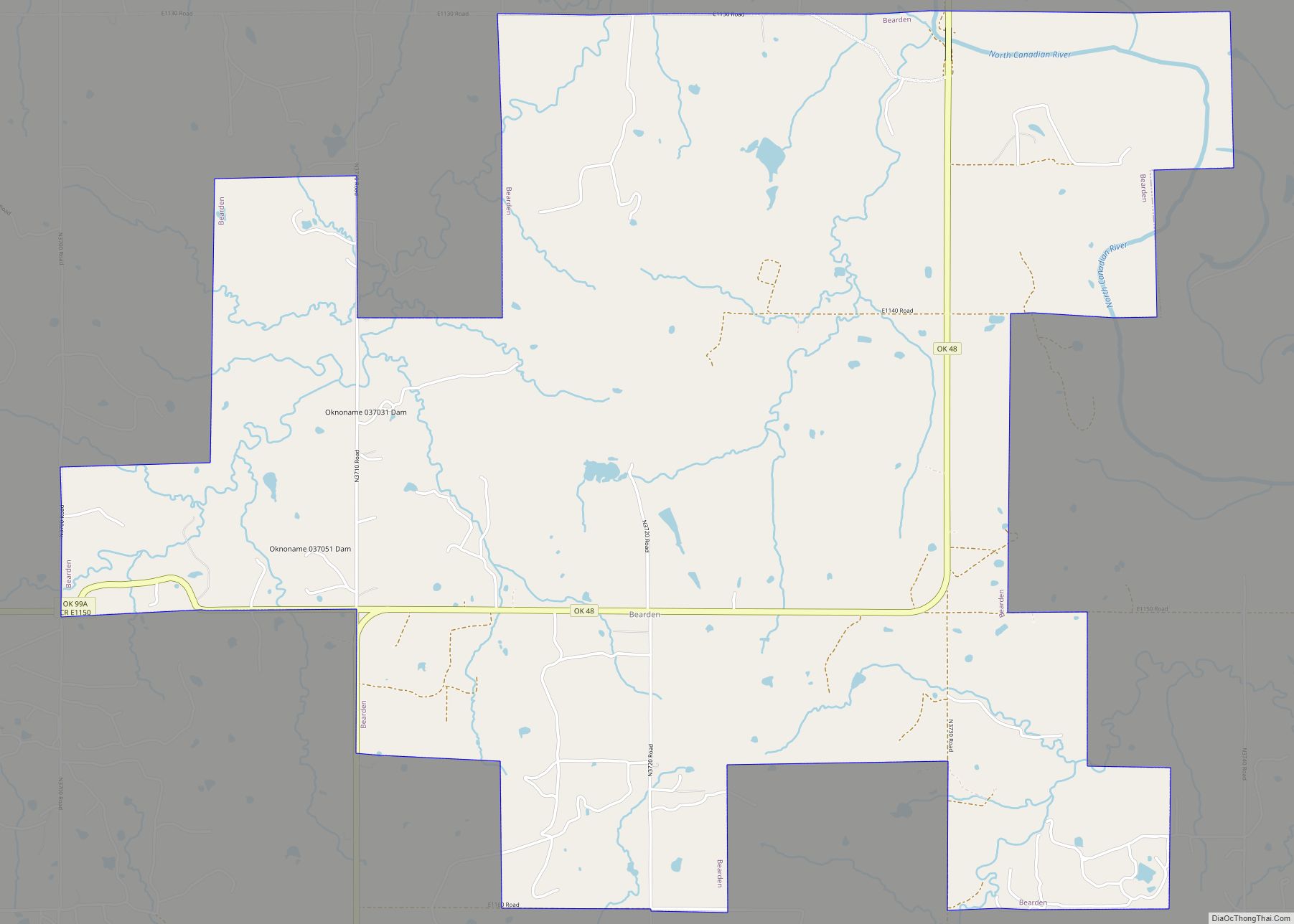
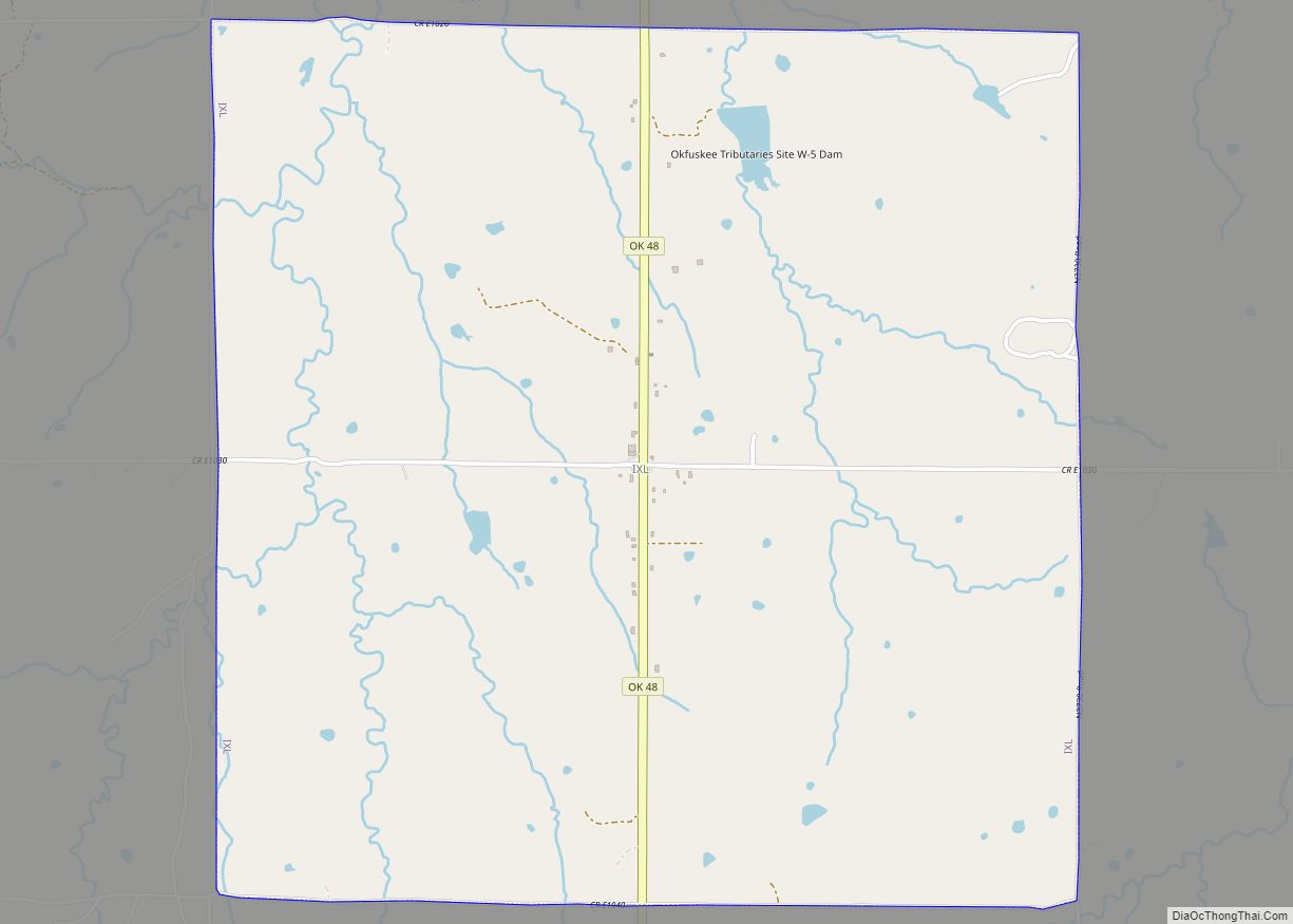
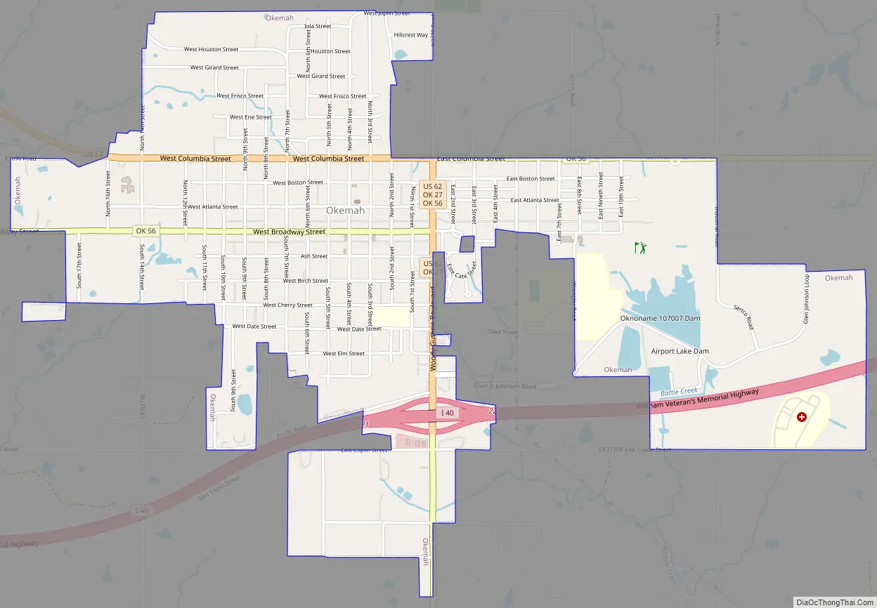
Okemah Road Map
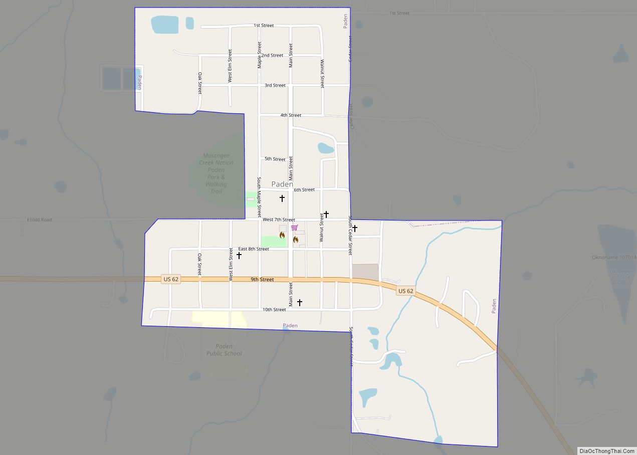
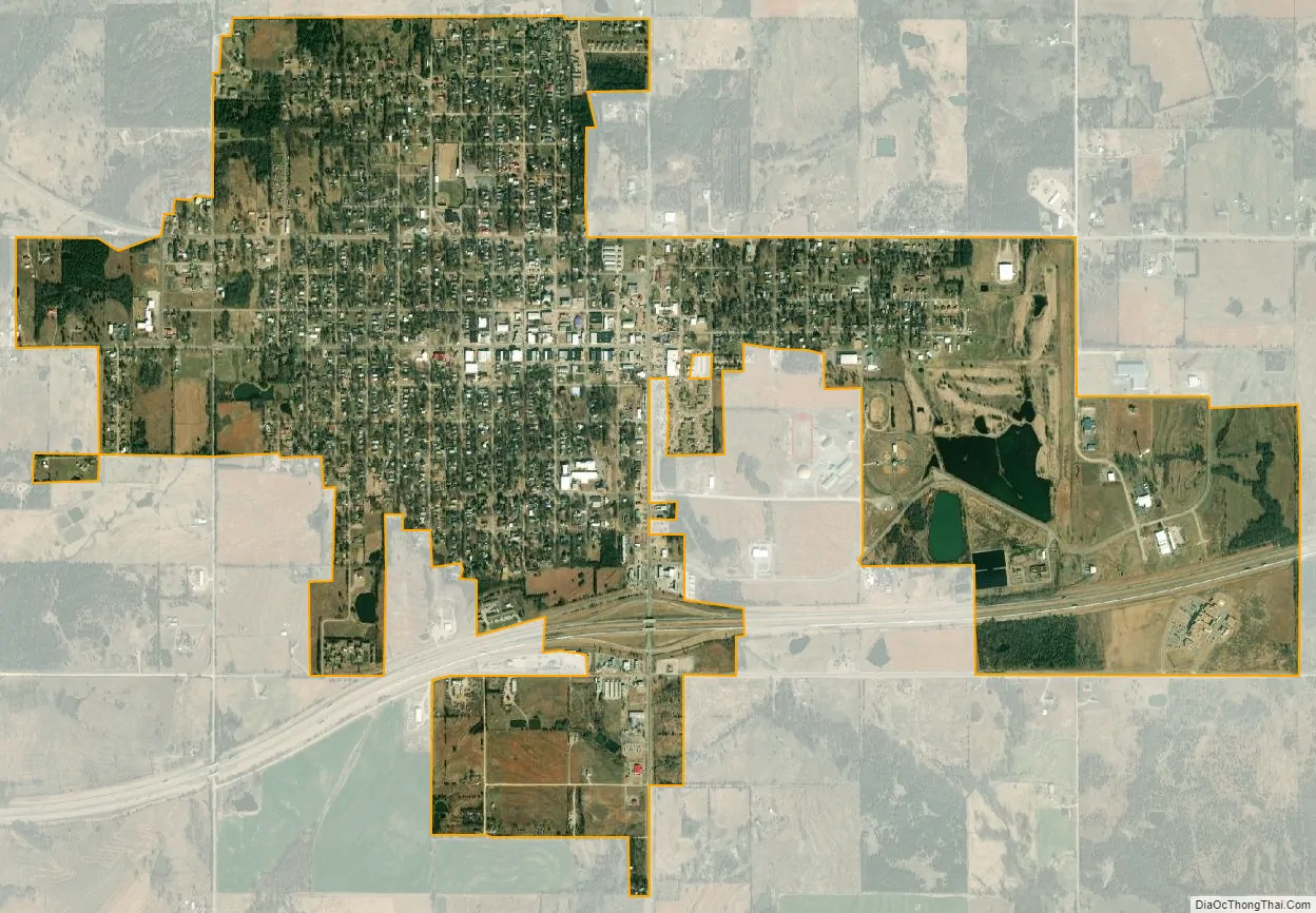
Okemah city Satellite Map
Geography
Okemah is located at 35°25′52″N 96°18′20″W / 35.43111°N 96.30556°W / 35.43111; -96.30556 (35.430987, -96.305500). According to the United States Census Bureau, the city has a total area of 2.7 square miles (7.0 km), of which 2.6 square miles (6.7 km) is land and 0.1 square miles (0.26 km) (2.63%) is water.
See also
Map of Oklahoma State and its subdivision:- Adair
- Alfalfa
- Atoka
- Beaver
- Beckham
- Blaine
- Bryan
- Caddo
- Canadian
- Carter
- Cherokee
- Choctaw
- Cimarron
- Cleveland
- Coal
- Comanche
- Cotton
- Craig
- Creek
- Custer
- Delaware
- Dewey
- Ellis
- Garfield
- Garvin
- Grady
- Grant
- Greer
- Harmon
- Harper
- Haskell
- Hughes
- Jackson
- Jefferson
- Johnston
- Kay
- Kingfisher
- Kiowa
- Latimer
- Le Flore
- Lincoln
- Logan
- Love
- Major
- Marshall
- Mayes
- McClain
- McCurtain
- McIntosh
- Murray
- Muskogee
- Noble
- Nowata
- Okfuskee
- Oklahoma
- Okmulgee
- Osage
- Ottawa
- Pawnee
- Payne
- Pittsburg
- Pontotoc
- Pottawatomie
- Pushmataha
- Roger Mills
- Rogers
- Seminole
- Sequoyah
- Stephens
- Texas
- Tillman
- Tulsa
- Wagoner
- Washington
- Washita
- Woods
- Woodward
- Alabama
- Alaska
- Arizona
- Arkansas
- California
- Colorado
- Connecticut
- Delaware
- District of Columbia
- Florida
- Georgia
- Hawaii
- Idaho
- Illinois
- Indiana
- Iowa
- Kansas
- Kentucky
- Louisiana
- Maine
- Maryland
- Massachusetts
- Michigan
- Minnesota
- Mississippi
- Missouri
- Montana
- Nebraska
- Nevada
- New Hampshire
- New Jersey
- New Mexico
- New York
- North Carolina
- North Dakota
- Ohio
- Oklahoma
- Oregon
- Pennsylvania
- Rhode Island
- South Carolina
- South Dakota
- Tennessee
- Texas
- Utah
- Vermont
- Virginia
- Washington
- West Virginia
- Wisconsin
- Wyoming