Peggs is an unincorporated community and census-designated place (CDP) in Cherokee County, Oklahoma, United States. It had a population of 813 at the 2010 census, compared to 814 at the 2000 census. A large minority of its residents are Native American, most of them members of 10 tribal groups such as the Cherokee Nation and the Muscogee Creek Nation.
| Name: | Peggs CDP |
|---|---|
| LSAD Code: | 57 |
| LSAD Description: | CDP (suffix) |
| State: | Oklahoma |
| County: | Cherokee County |
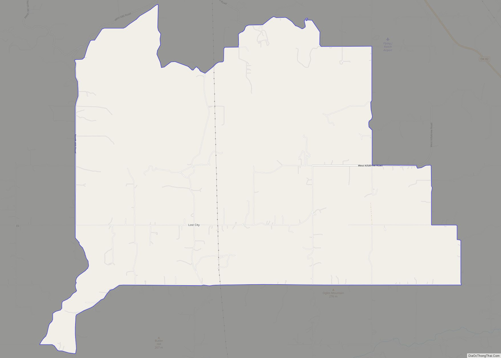
| Total Area: | 15.31 sq mi (39.65 km²) |
| Land Area: | 15.31 sq mi (39.65 km²) |
| Water Area: | 0.00 sq mi (0.00 km²) |
| Total Population: | 789 |
| Population Density: | 51.53/sq mi (19.90/km²) |
| ZIP code: | 74452 |
| FIPS code: | 4057950 |
| GNISfeature ID: | 1096535 |
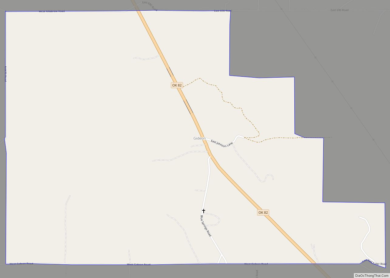
Online Interactive Map
Click on ![]() to view map in "full screen" mode.
to view map in "full screen" mode.
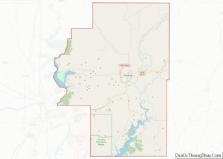
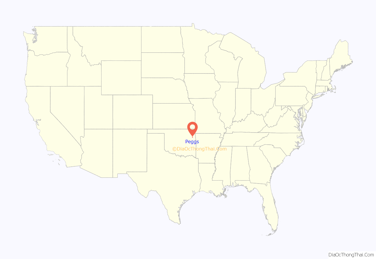
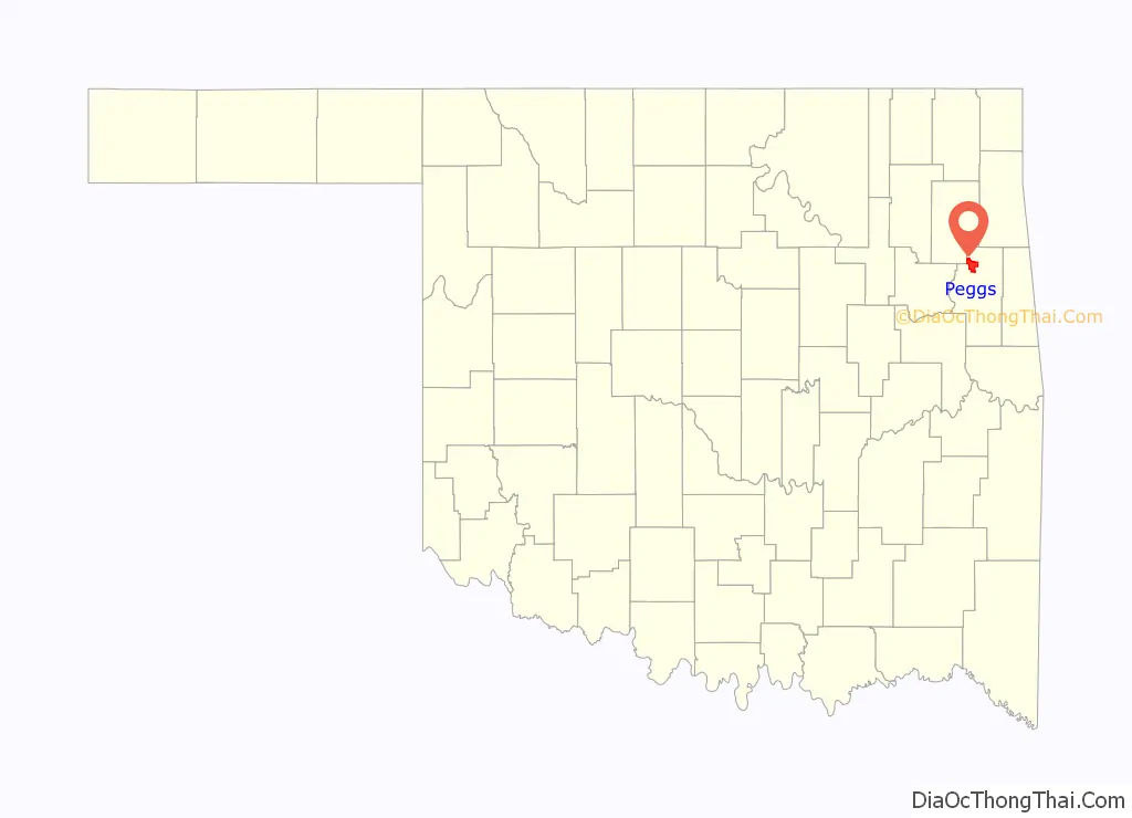
Peggs location map. Where is Peggs CDP?
History
The post office was established December 6, 1899. It was named for Thomas Pegg, acting principal chief of the Cherokee Nation during the Civil War.
A tornado destroyed Peggs on May 2, 1920, killing 71 people, what was about 30 percent of the town’s population at the time. It is the deadliest tornado on record to have struck within NWS Tulsa’s county warning area, and the third-deadliest in Oklahoma history (after Woodward in 1947 and Snyder pre-statehood in 1905). In May 2019 another tornado hit Peggs, but the EF-2 caused no fatalities, only damage to a few homes and businesses.
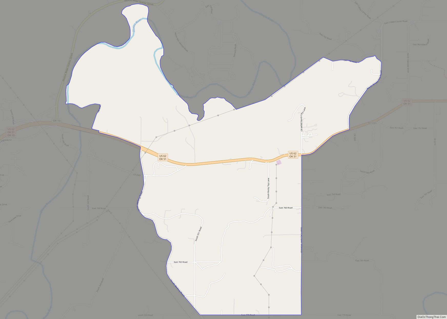
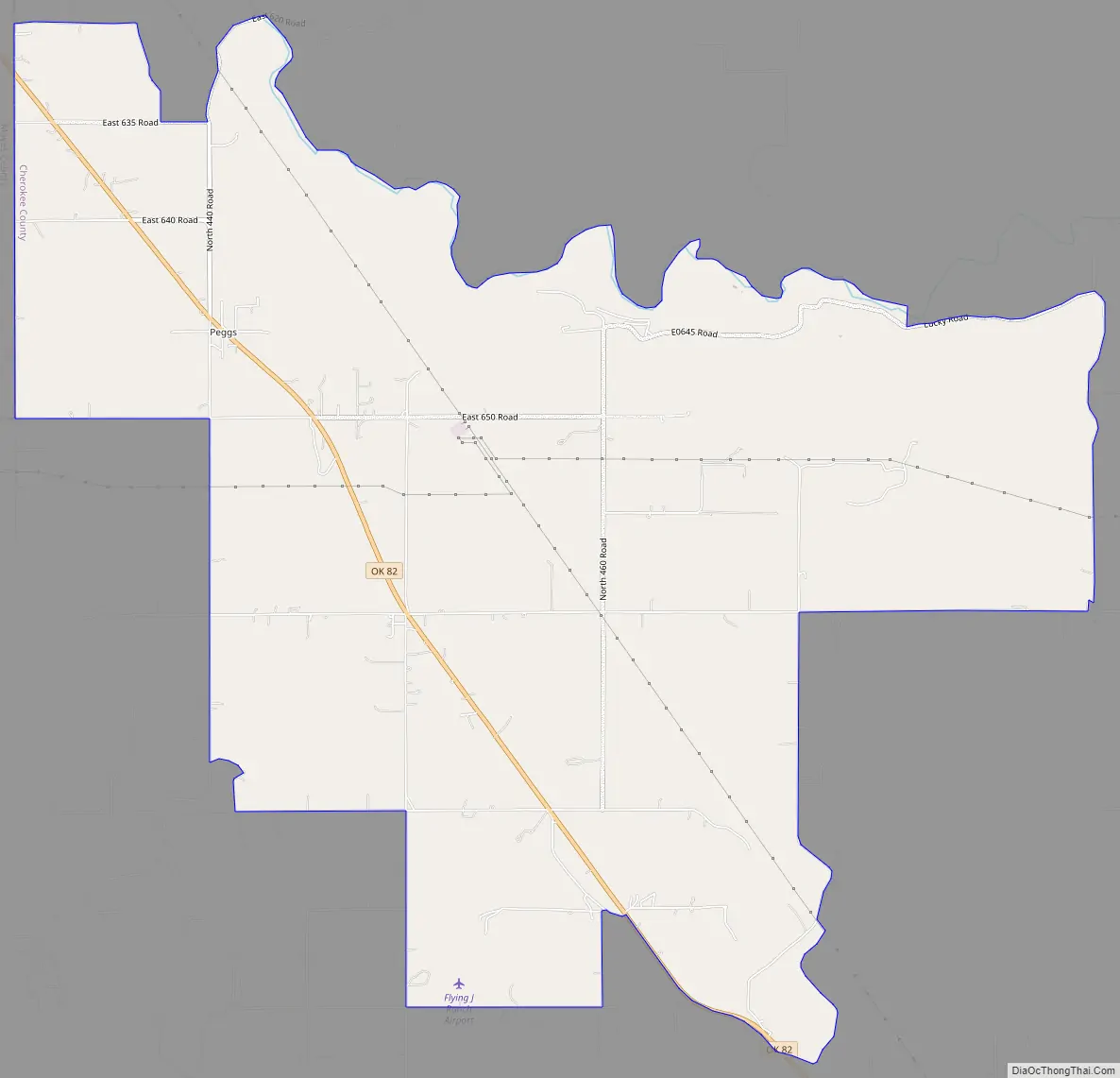
Peggs Road Map
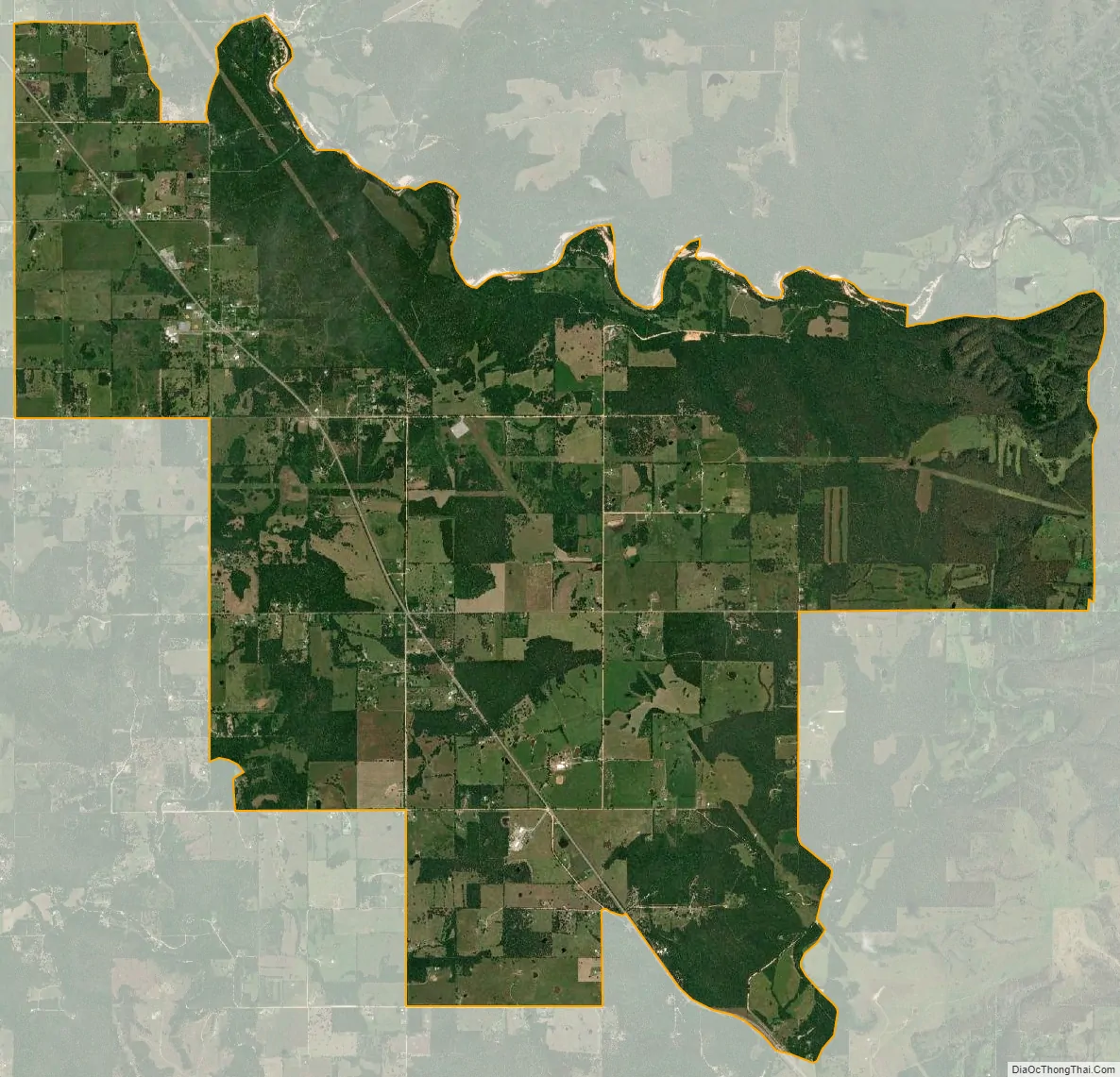
Peggs city Satellite Map
Geography
Peggs is located in northwestern Cherokee County, along Oklahoma State Highway 82, which leads southeast 15 miles (24 km) to Tahlequah, the county seat, and northwest 10 miles (16 km) to Locust Grove in Mayes County.
According to the U.S. Census Bureau, the Peggs CDP has an area of 15.3 square miles (39.7 km), all land.
See also
Map of Oklahoma State and its subdivision:- Adair
- Alfalfa
- Atoka
- Beaver
- Beckham
- Blaine
- Bryan
- Caddo
- Canadian
- Carter
- Cherokee
- Choctaw
- Cimarron
- Cleveland
- Coal
- Comanche
- Cotton
- Craig
- Creek
- Custer
- Delaware
- Dewey
- Ellis
- Garfield
- Garvin
- Grady
- Grant
- Greer
- Harmon
- Harper
- Haskell
- Hughes
- Jackson
- Jefferson
- Johnston
- Kay
- Kingfisher
- Kiowa
- Latimer
- Le Flore
- Lincoln
- Logan
- Love
- Major
- Marshall
- Mayes
- McClain
- McCurtain
- McIntosh
- Murray
- Muskogee
- Noble
- Nowata
- Okfuskee
- Oklahoma
- Okmulgee
- Osage
- Ottawa
- Pawnee
- Payne
- Pittsburg
- Pontotoc
- Pottawatomie
- Pushmataha
- Roger Mills
- Rogers
- Seminole
- Sequoyah
- Stephens
- Texas
- Tillman
- Tulsa
- Wagoner
- Washington
- Washita
- Woods
- Woodward
- Alabama
- Alaska
- Arizona
- Arkansas
- California
- Colorado
- Connecticut
- Delaware
- District of Columbia
- Florida
- Georgia
- Hawaii
- Idaho
- Illinois
- Indiana
- Iowa
- Kansas
- Kentucky
- Louisiana
- Maine
- Maryland
- Massachusetts
- Michigan
- Minnesota
- Mississippi
- Missouri
- Montana
- Nebraska
- Nevada
- New Hampshire
- New Jersey
- New Mexico
- New York
- North Carolina
- North Dakota
- Ohio
- Oklahoma
- Oregon
- Pennsylvania
- Rhode Island
- South Carolina
- South Dakota
- Tennessee
- Texas
- Utah
- Vermont
- Virginia
- Washington
- West Virginia
- Wisconsin
- Wyoming