Pensacola is a town in Mayes County, Oklahoma, United States. The population was 125 at the 2010 census, which represented a 76 percent increase from the figure of 71 recorded in 2000.
| Name: | Pensacola town |
|---|---|
| LSAD Code: | 43 |
| LSAD Description: | town (suffix) |
| State: | Oklahoma |
| County: | Mayes County |
| Elevation: | 666 ft (203 m) |
| Total Area: | 0.30 sq mi (0.78 km²) |
| Land Area: | 0.30 sq mi (0.78 km²) |
| Water Area: | 0.00 sq mi (0.00 km²) |
| Total Population: | 101 |
| Population Density: | 336.67/sq mi (130.15/km²) |
| FIPS code: | 4058050 |
| GNISfeature ID: | 1096543 |
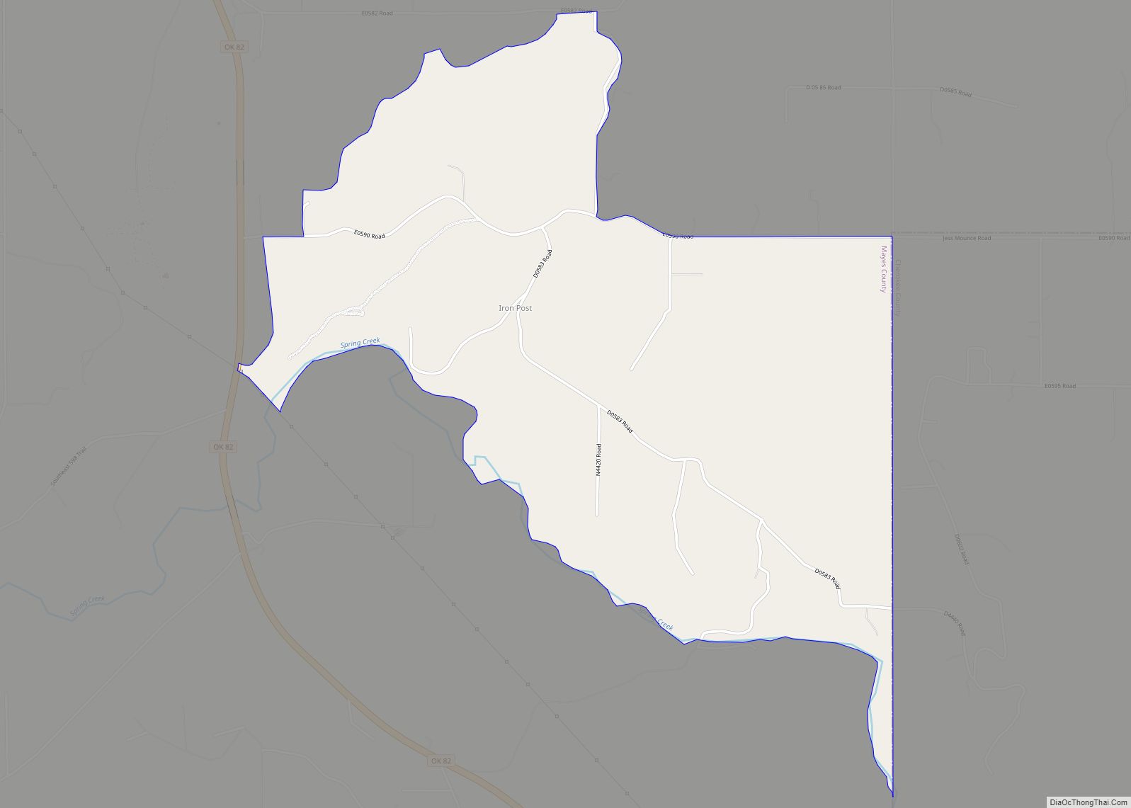
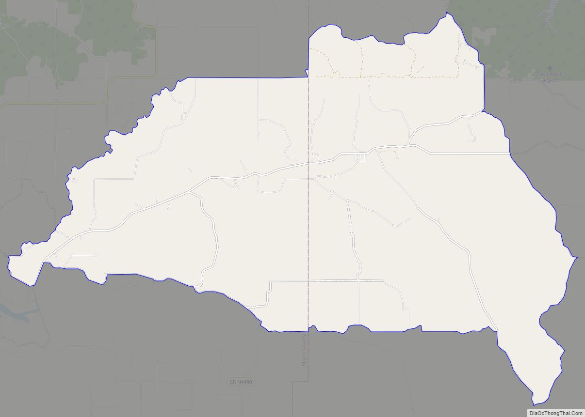
Online Interactive Map
Click on ![]() to view map in "full screen" mode.
to view map in "full screen" mode.
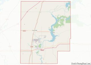
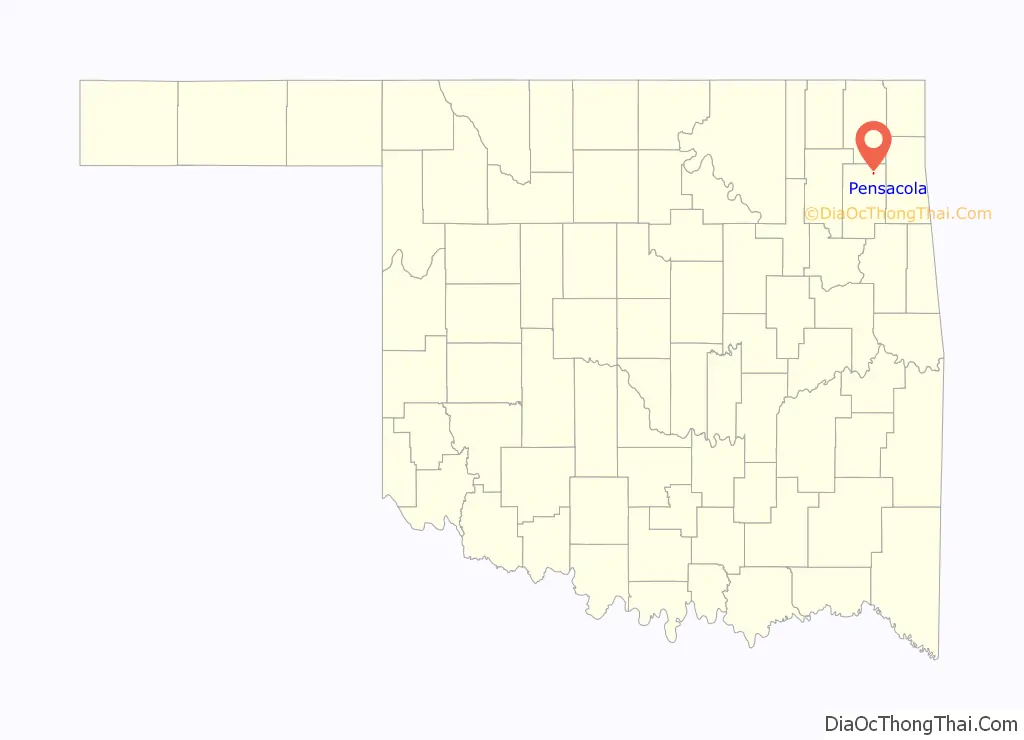
Pensacola location map. Where is Pensacola town?

History
The history of Pensacola began circa 1840, with the establishment of a way station on the old Texas Road at the Cabin Creek Crossing of the Grand River. Here, Joseph Lynch Martin (a.k.a. “Greenbrier Joe”) established a trading post called Pensacola.
The Union Army commandeered Pensacola as a supply station between Fort Scott, Kansas and Fort Gibson, Indian Territory. during the Civil War. Two battles between Union and Confederate forces occurred here, resulting in the destruction of Pensacola.
Greenbrier Joe’s son, Richard Martin, reestablished Pensacola in 1896, with a small store and a post office at his home, 3 miles (4.8 km) south of the original location.
In 1909, James Sims Wilson, a settler from Kentucky, established a ranch north of Pensacola and east of Grand River. The Missouri, Oklahoma & Gulf Railroad came to this area in 1912. Its right of way crossed the Wilson ranch, and Wilson began planning a townsite that would be served by the Pensacola post office. He filed the Pensacola townsite plat in the office of the county clerk on April 2, 1912. Despite failure of the town bank in 1921 and the onset of the Great Depression, the announcement of a new dam project five miles east, there was hope for growth to return. A chamber of commerce formed, and the town incorporated in 1938.
Pensacola never became more than a small country town supported by farming and cattle ranching. It was surrounded on three sides by the Wilson ranch. Moreover, until the Pensacola Dam and good roads were completed in 1943, commerce was limited. The population declined from 109 in 1940 to 48 in 1950.
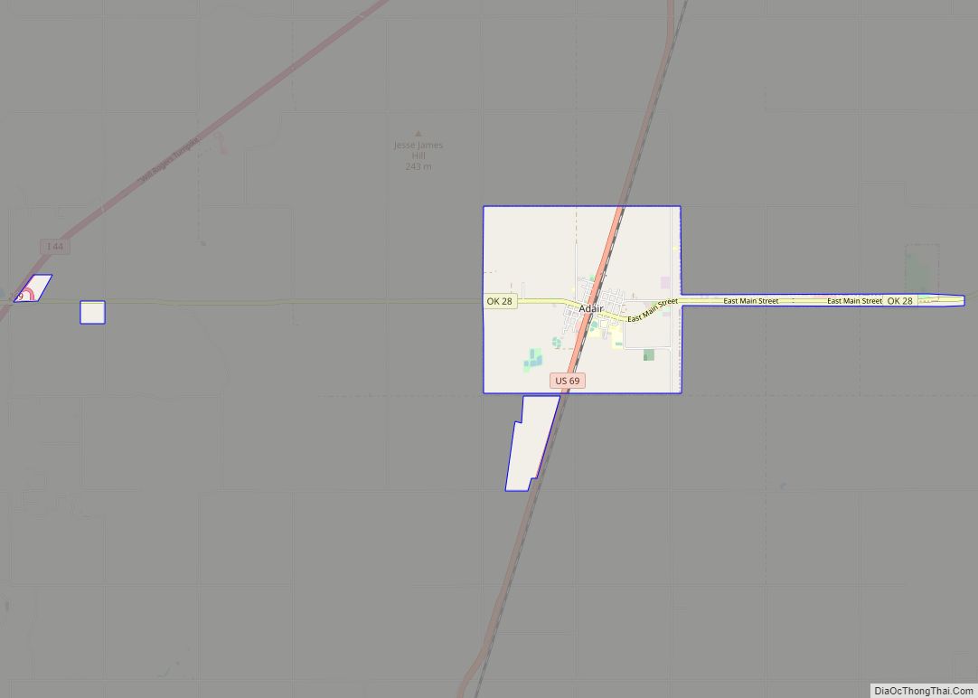
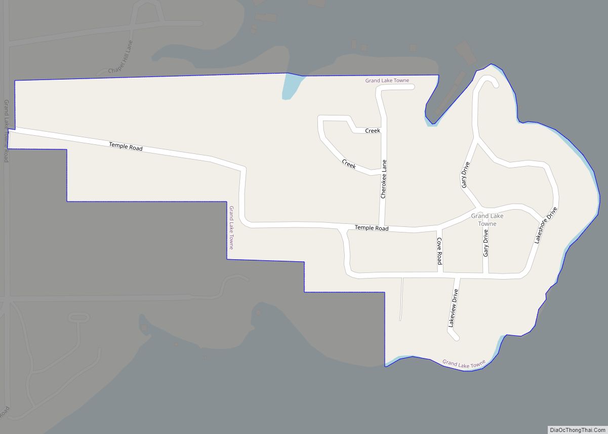
Pensacola Road Map
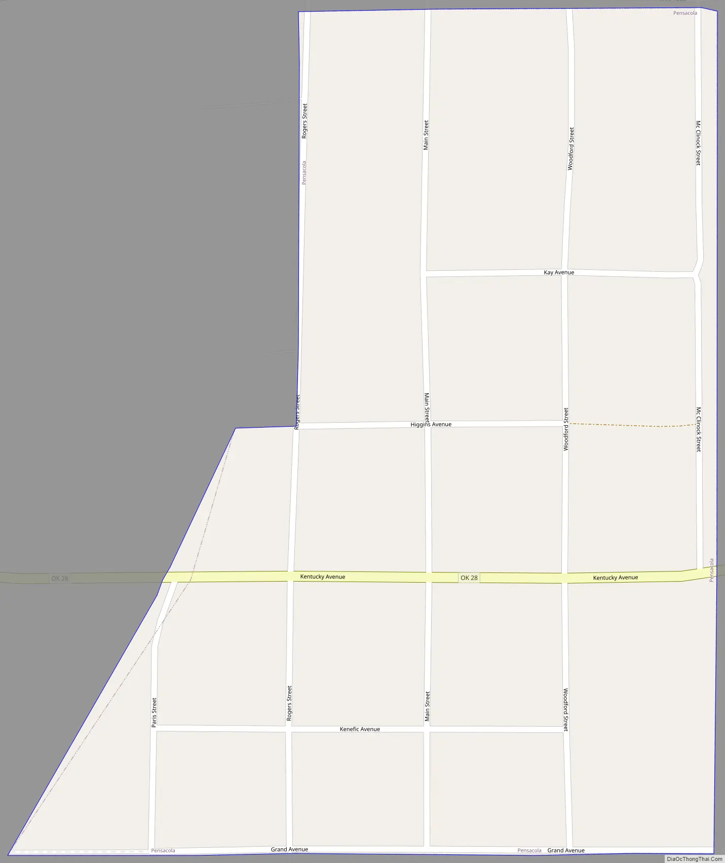
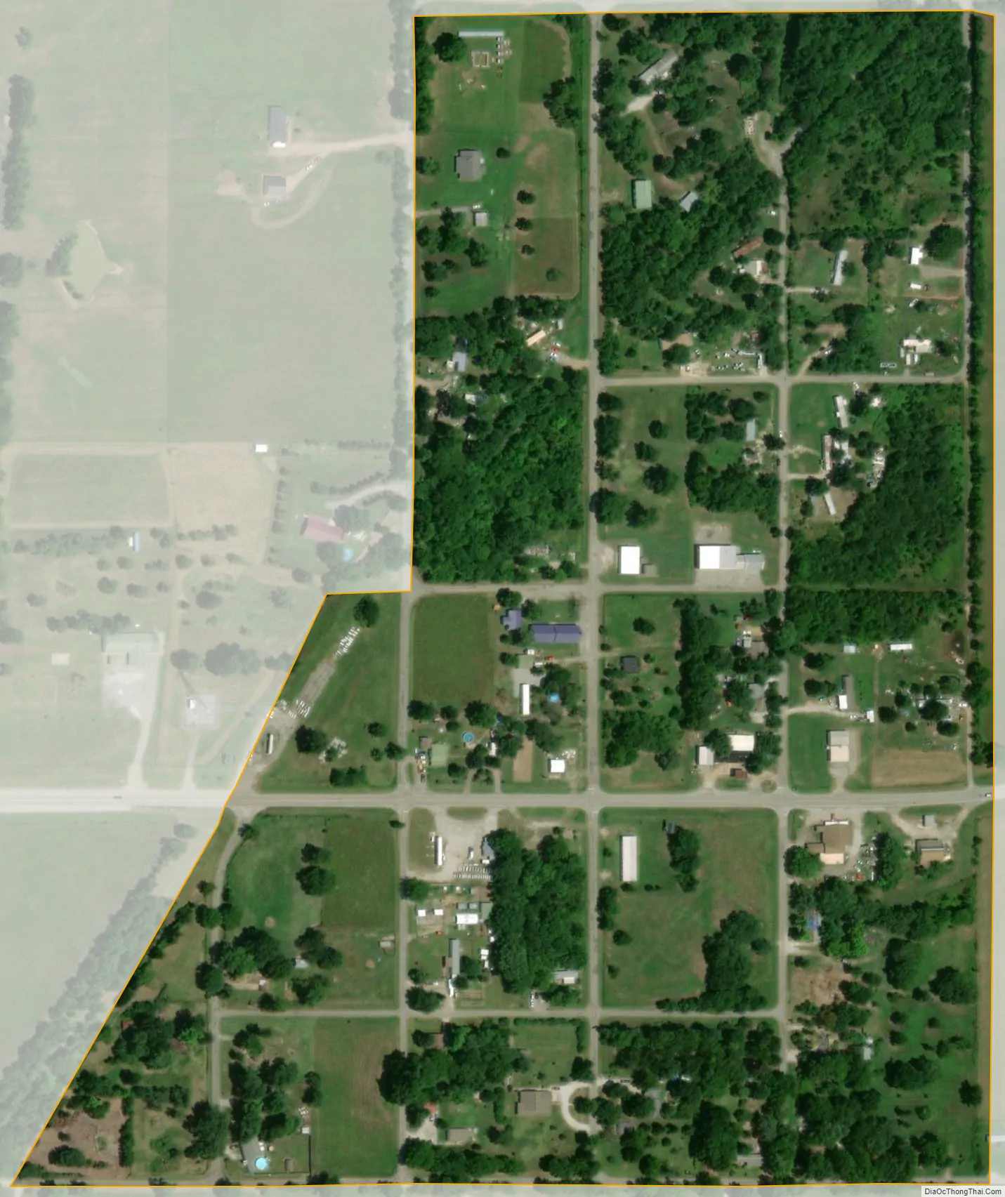
Pensacola city Satellite Map
Geography
Pensacola is located at 36°27′20″N 95°7′49″W / 36.45556°N 95.13028°W / 36.45556; -95.13028 (36.455433, -95.130226).
According to the United States Census Bureau, the town has a total area of 0.1 square miles (0.26 km), all land.
See also
Map of Oklahoma State and its subdivision:- Adair
- Alfalfa
- Atoka
- Beaver
- Beckham
- Blaine
- Bryan
- Caddo
- Canadian
- Carter
- Cherokee
- Choctaw
- Cimarron
- Cleveland
- Coal
- Comanche
- Cotton
- Craig
- Creek
- Custer
- Delaware
- Dewey
- Ellis
- Garfield
- Garvin
- Grady
- Grant
- Greer
- Harmon
- Harper
- Haskell
- Hughes
- Jackson
- Jefferson
- Johnston
- Kay
- Kingfisher
- Kiowa
- Latimer
- Le Flore
- Lincoln
- Logan
- Love
- Major
- Marshall
- Mayes
- McClain
- McCurtain
- McIntosh
- Murray
- Muskogee
- Noble
- Nowata
- Okfuskee
- Oklahoma
- Okmulgee
- Osage
- Ottawa
- Pawnee
- Payne
- Pittsburg
- Pontotoc
- Pottawatomie
- Pushmataha
- Roger Mills
- Rogers
- Seminole
- Sequoyah
- Stephens
- Texas
- Tillman
- Tulsa
- Wagoner
- Washington
- Washita
- Woods
- Woodward
- Alabama
- Alaska
- Arizona
- Arkansas
- California
- Colorado
- Connecticut
- Delaware
- District of Columbia
- Florida
- Georgia
- Hawaii
- Idaho
- Illinois
- Indiana
- Iowa
- Kansas
- Kentucky
- Louisiana
- Maine
- Maryland
- Massachusetts
- Michigan
- Minnesota
- Mississippi
- Missouri
- Montana
- Nebraska
- Nevada
- New Hampshire
- New Jersey
- New Mexico
- New York
- North Carolina
- North Dakota
- Ohio
- Oklahoma
- Oregon
- Pennsylvania
- Rhode Island
- South Carolina
- South Dakota
- Tennessee
- Texas
- Utah
- Vermont
- Virginia
- Washington
- West Virginia
- Wisconsin
- Wyoming