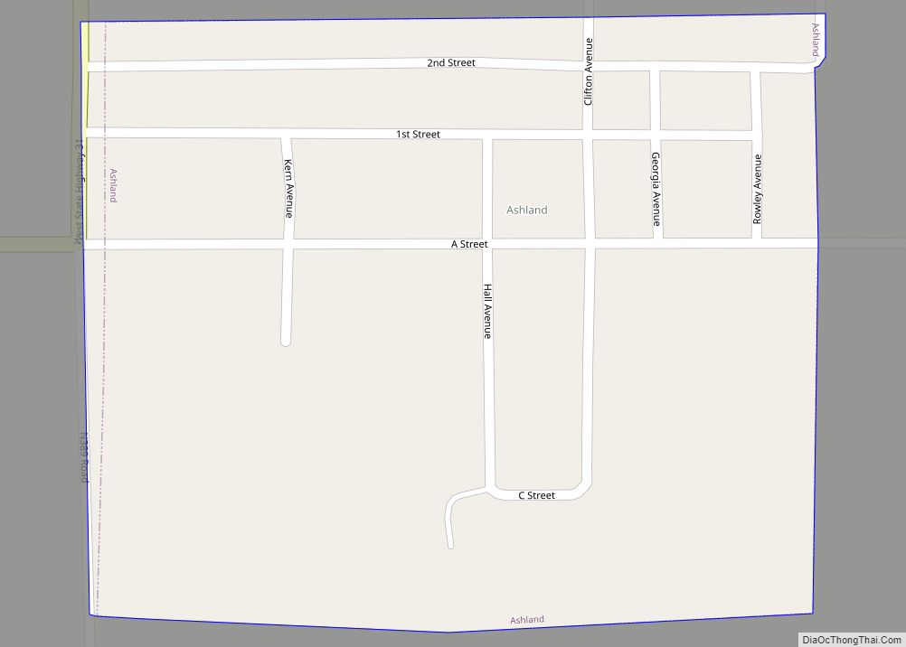
Pittsburg is a town in Pittsburg County, Oklahoma, United States. The population was 280 at the 2000 census.
| Name: | Pittsburg town |
|---|---|
| LSAD Code: | 43 |
| LSAD Description: | town (suffix) |
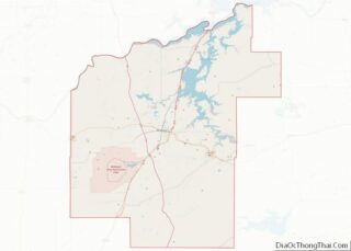
| State: | Oklahoma |
| County: | Pittsburg County |
| Elevation: | 764 ft (233 m) |
| Total Area: | 0.48 sq mi (1.24 km²) |
| Land Area: | 0.48 sq mi (1.24 km²) |
| Water Area: | 0.00 sq mi (0.00 km²) |
| Total Population: | 180 |
| Population Density: | 377.36/sq mi (145.67/km²) |
| ZIP code: | 74560 |
| Area code: | 539/918 |
| FIPS code: | 4059350 |
| GNISfeature ID: | 1096696 |
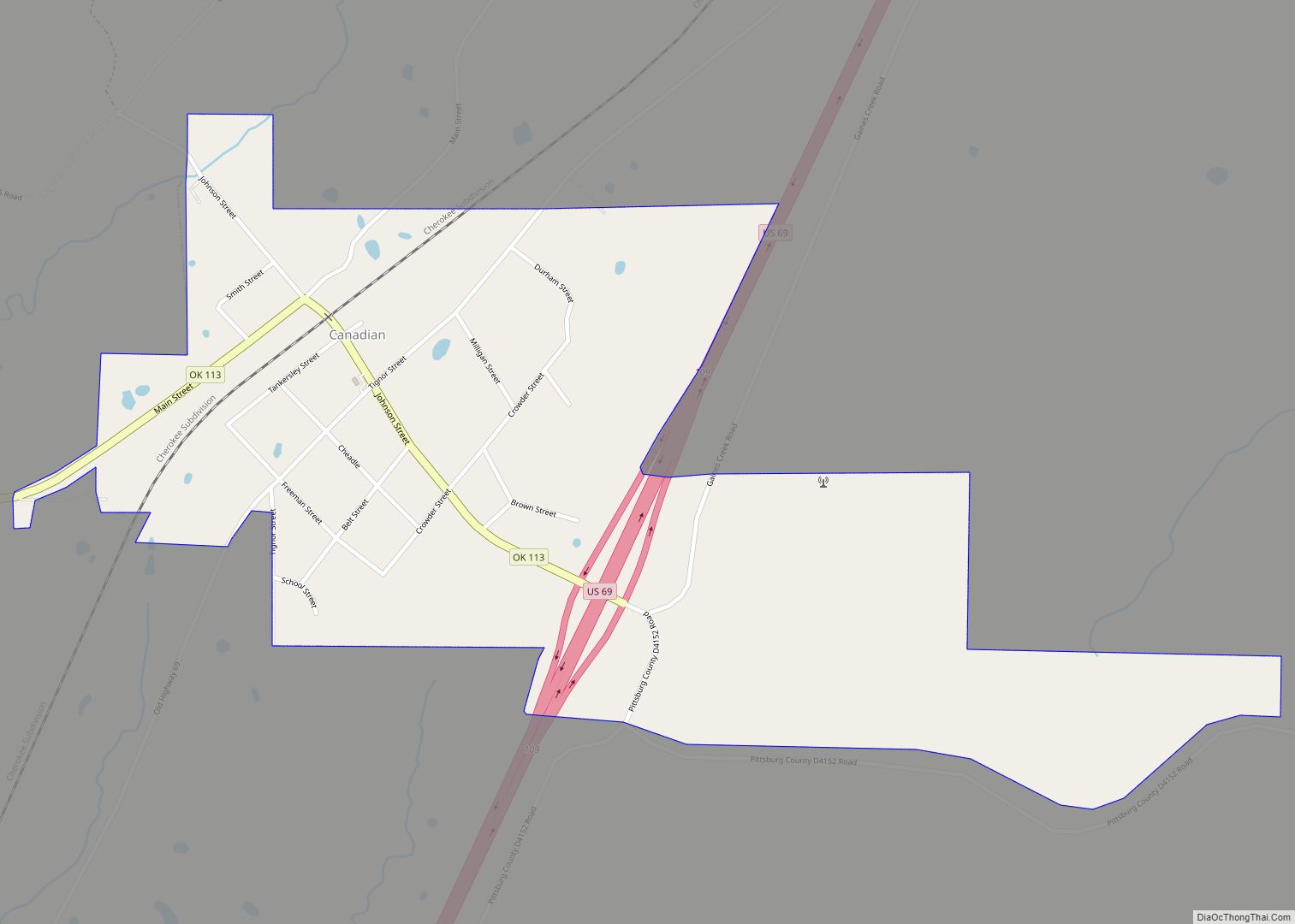
Online Interactive Map
Click on ![]() to view map in "full screen" mode.
to view map in "full screen" mode.
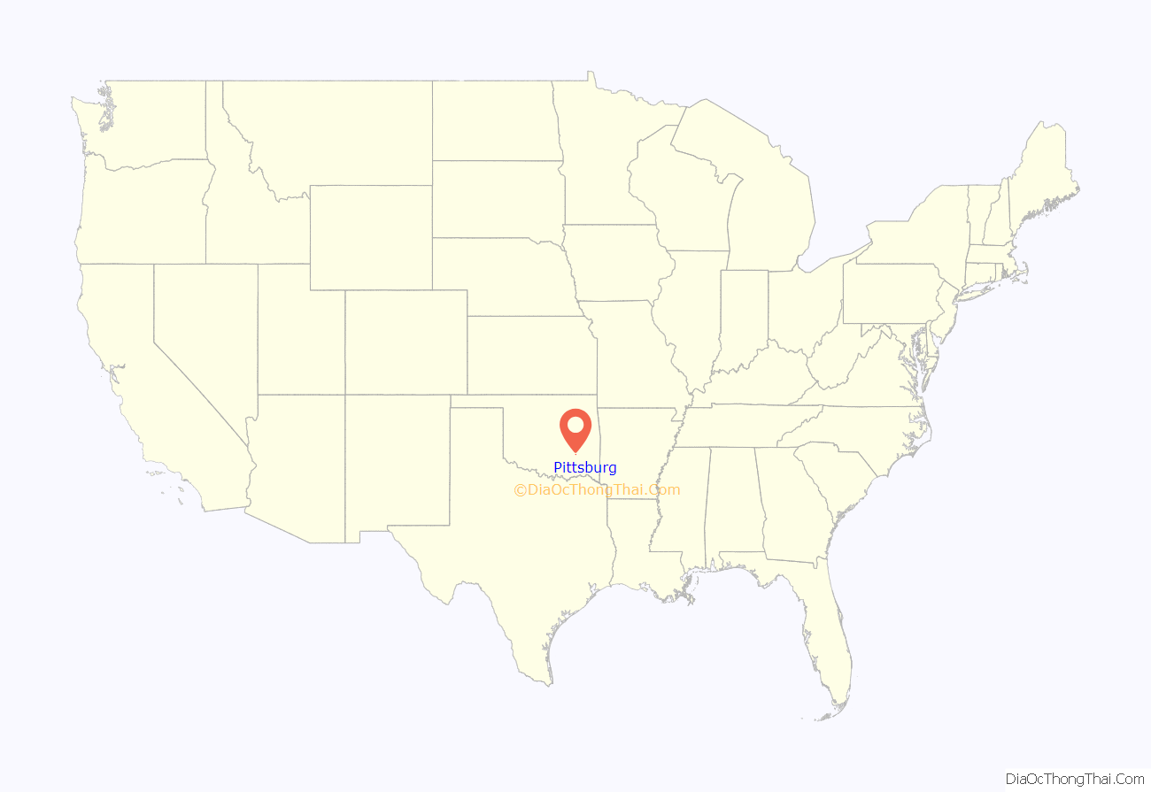
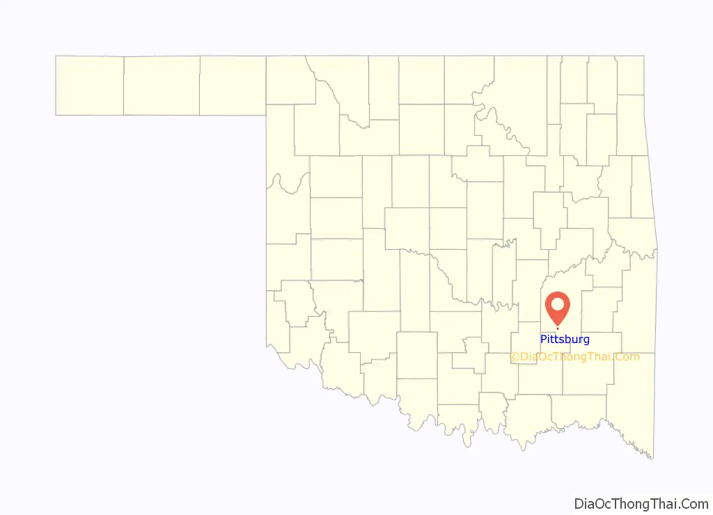
Pittsburg location map. Where is Pittsburg town?
History
The first settlement of present day Pittsburg by non-indigenous peoples was in 1899 when Daniel Edwards, accompanied by son Thomas, placed a coal shaft two miles east of Kiowa, in Choctaw Nation. In 1903, the United States Postal Service established a post office in Cowpers and appointed Daniel Edwards as postmaster. Its name was changed to Edwards, Indian Territory, on September 3, 1903, and to Pittsburg, Oklahoma, on August 27, 1909. During its time as Edwards, it was named for J.R. Edwards, a coal operator. Its newest name, Pittsburg, commemorates the county which was created at Oklahoma’s statehood in 1907.
At the time of its founding, the community was located in the Moshulatubbee District of the Choctaw Nation. The town was in the area of the boundary between Atoka and Tobucksy counties, and differing maps of the era placed it in each.
Pittsburg Road Map
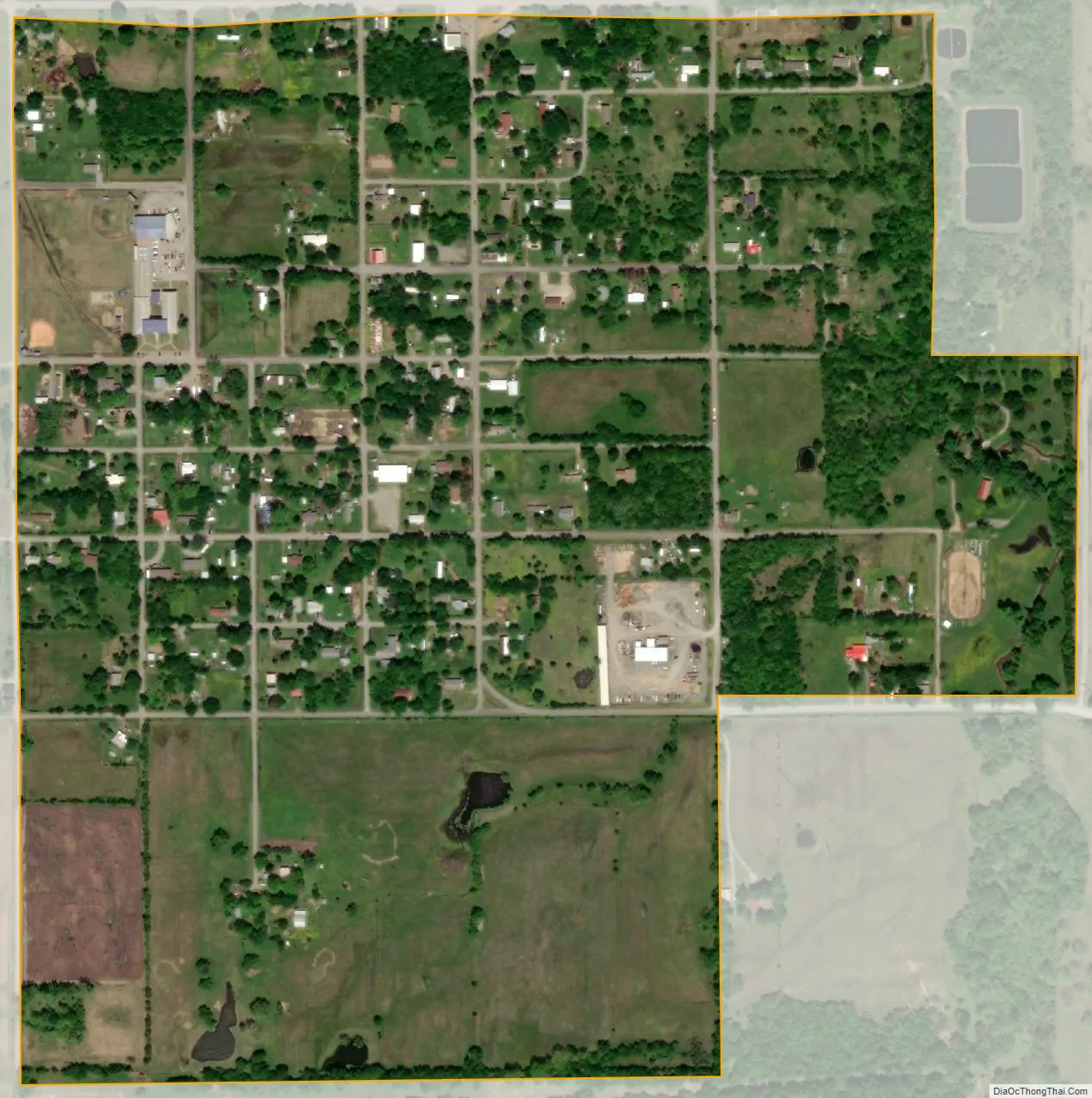
Pittsburg city Satellite Map
Geography
Pittsburg is located at 34°42′46″N 95°51′4″W / 34.71278°N 95.85111°W / 34.71278; -95.85111 (34.712769, -95.850993). According to the United States Census Bureau, the town has a total area of 0.5 square miles (1.3 km), all land.
See also
Map of Oklahoma State and its subdivision:- Adair
- Alfalfa
- Atoka
- Beaver
- Beckham
- Blaine
- Bryan
- Caddo
- Canadian
- Carter
- Cherokee
- Choctaw
- Cimarron
- Cleveland
- Coal
- Comanche
- Cotton
- Craig
- Creek
- Custer
- Delaware
- Dewey
- Ellis
- Garfield
- Garvin
- Grady
- Grant
- Greer
- Harmon
- Harper
- Haskell
- Hughes
- Jackson
- Jefferson
- Johnston
- Kay
- Kingfisher
- Kiowa
- Latimer
- Le Flore
- Lincoln
- Logan
- Love
- Major
- Marshall
- Mayes
- McClain
- McCurtain
- McIntosh
- Murray
- Muskogee
- Noble
- Nowata
- Okfuskee
- Oklahoma
- Okmulgee
- Osage
- Ottawa
- Pawnee
- Payne
- Pittsburg
- Pontotoc
- Pottawatomie
- Pushmataha
- Roger Mills
- Rogers
- Seminole
- Sequoyah
- Stephens
- Texas
- Tillman
- Tulsa
- Wagoner
- Washington
- Washita
- Woods
- Woodward
- Alabama
- Alaska
- Arizona
- Arkansas
- California
- Colorado
- Connecticut
- Delaware
- District of Columbia
- Florida
- Georgia
- Hawaii
- Idaho
- Illinois
- Indiana
- Iowa
- Kansas
- Kentucky
- Louisiana
- Maine
- Maryland
- Massachusetts
- Michigan
- Minnesota
- Mississippi
- Missouri
- Montana
- Nebraska
- Nevada
- New Hampshire
- New Jersey
- New Mexico
- New York
- North Carolina
- North Dakota
- Ohio
- Oklahoma
- Oregon
- Pennsylvania
- Rhode Island
- South Carolina
- South Dakota
- Tennessee
- Texas
- Utah
- Vermont
- Virginia
- Washington
- West Virginia
- Wisconsin
- Wyoming