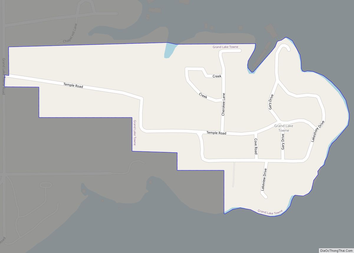
Pump Back is a census-designated place (CDP) in Mayes County, Oklahoma, United States. The population was 175 at the 2010 census compared to 155 at the 2000 census, a gain of 13 percent.
| Name: | Pump Back CDP |
|---|---|
| LSAD Code: | 57 |
| LSAD Description: | CDP (suffix) |
| State: | Oklahoma |
| County: | Mayes County |
| Total Area: | 2.72 sq mi (7.04 km²) |
| Land Area: | 2.07 sq mi (5.36 km²) |
| Water Area: | 0.65 sq mi (1.68 km²) |
| Total Population: | 160 |
| Population Density: | 77.29/sq mi (29.85/km²) |
| FIPS code: | 4061020 |
Online Interactive Map
Click on ![]() to view map in "full screen" mode.
to view map in "full screen" mode.
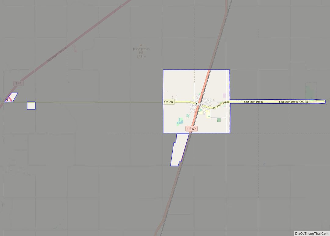
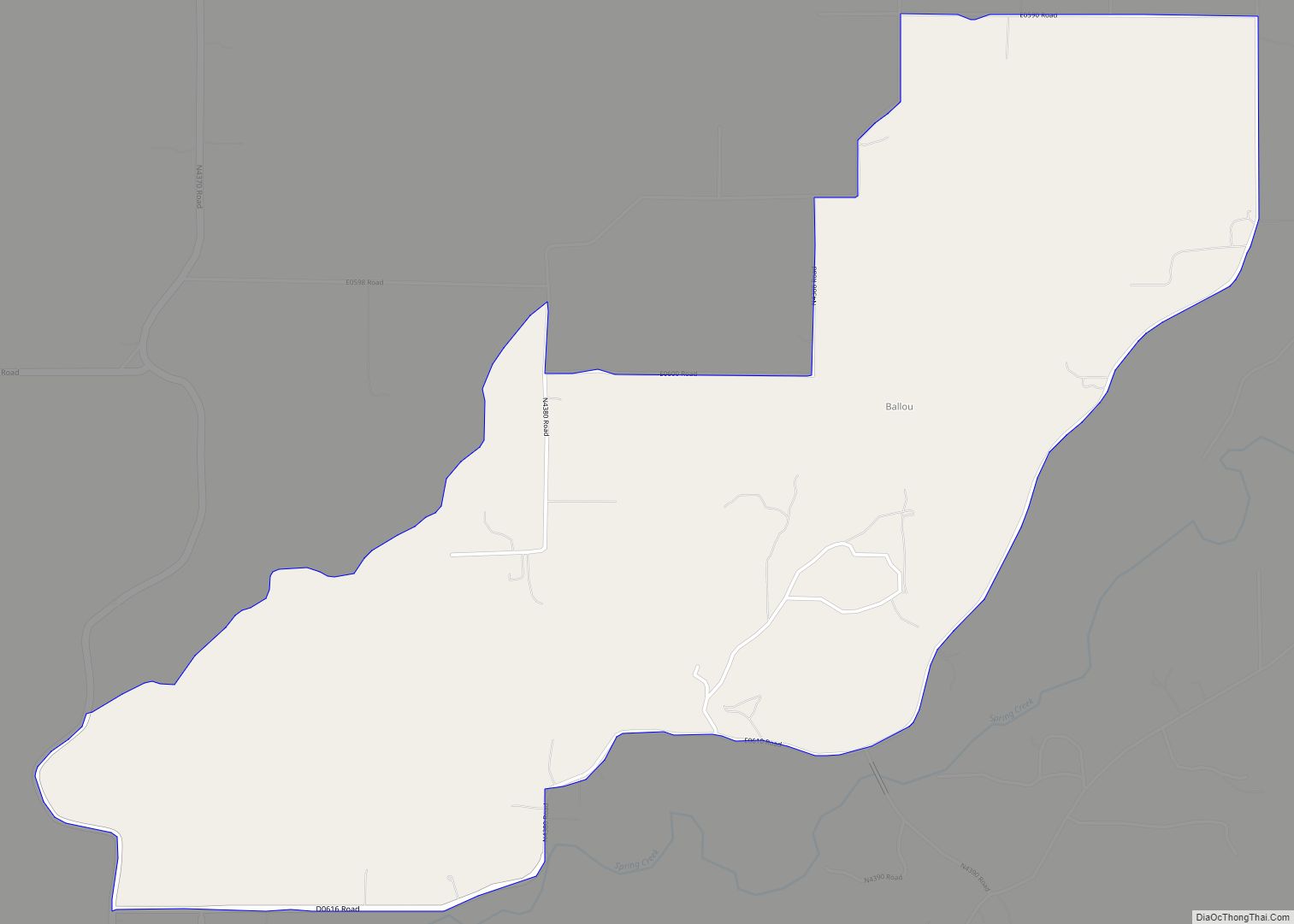
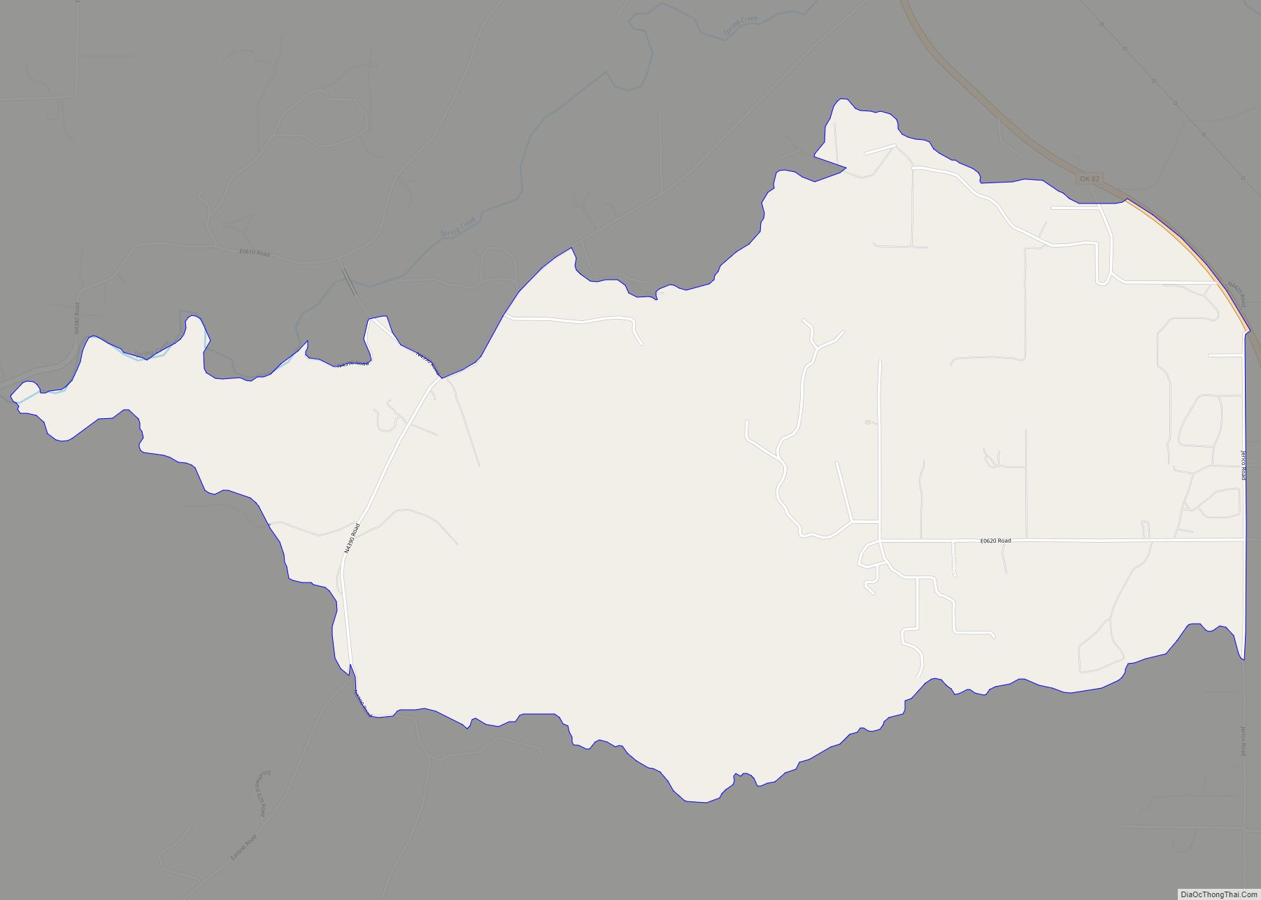
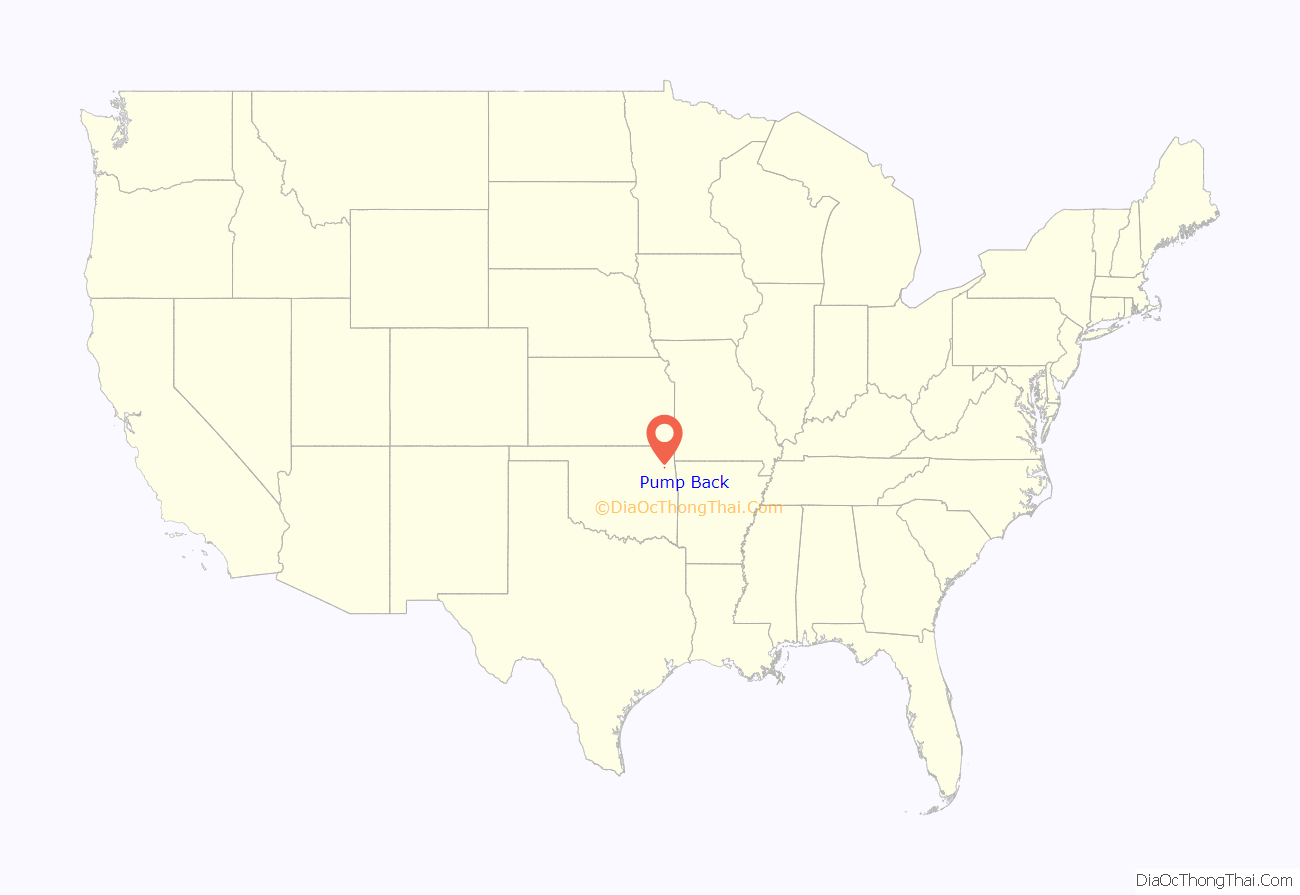
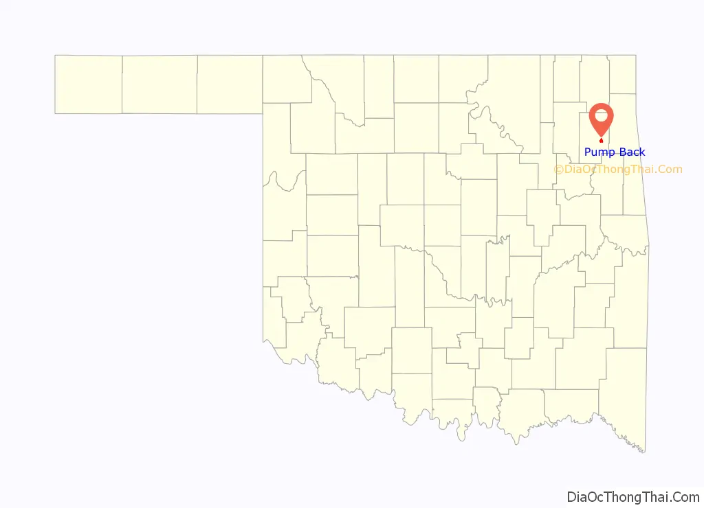
Pump Back location map. Where is Pump Back CDP?
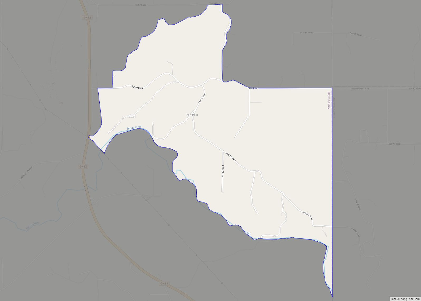
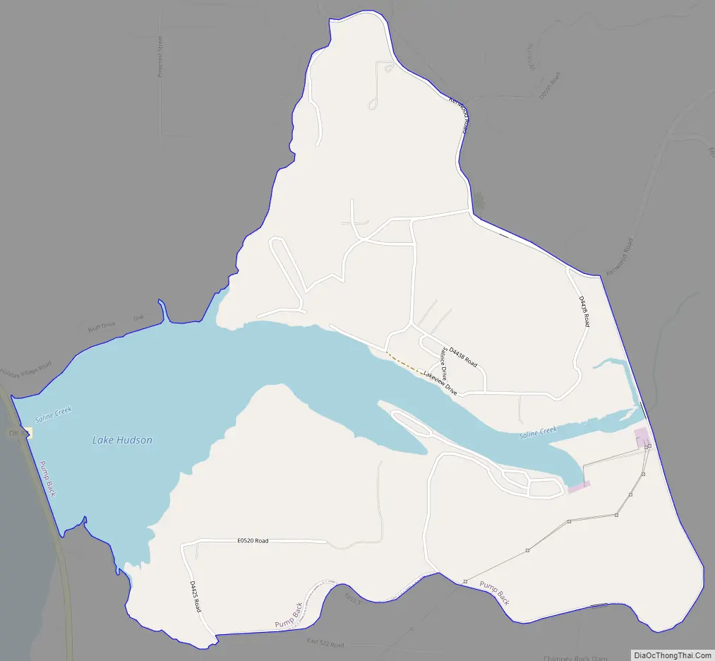
Pump Back Road Map
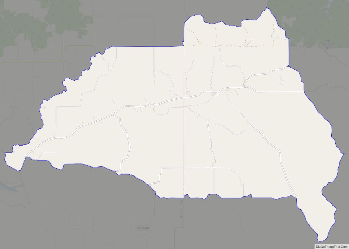
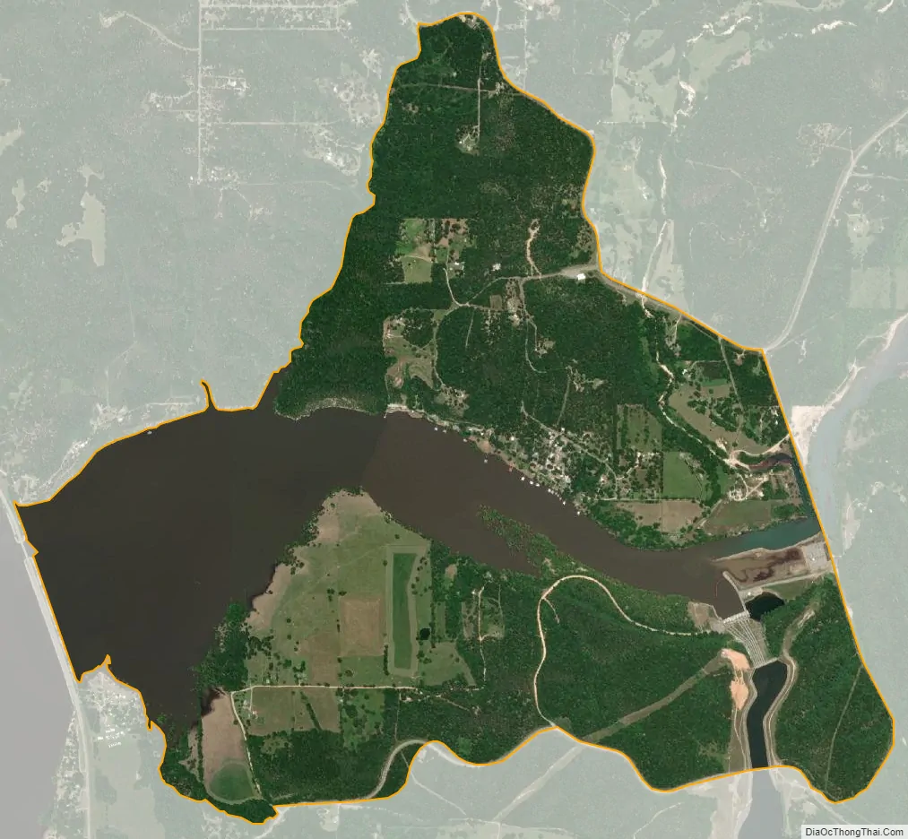
Pump Back city Satellite Map
Geography
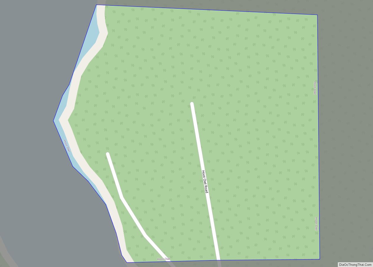
Pump Back is located at 36°16′16″N 95°6′44″W / 36.27111°N 95.11222°W / 36.27111; -95.11222 (36.271183, -95.112110). It is accessible from State Highway 82, between Lake Hudson and Lake W. R. Holway (a.k a. Chimney Rock Lake).
According to the United States Census Bureau, the CDP has a total area of 2.7 square miles (7.0 km), of which 2.1 square miles (5.4 km) is land and 0.6 square miles (1.6 km) (22.01 percent) is water.
See also
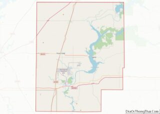
Map of Oklahoma State and its subdivision:- Adair
- Alfalfa
- Atoka
- Beaver
- Beckham
- Blaine
- Bryan
- Caddo
- Canadian
- Carter
- Cherokee
- Choctaw
- Cimarron
- Cleveland
- Coal
- Comanche
- Cotton
- Craig
- Creek
- Custer
- Delaware
- Dewey
- Ellis
- Garfield
- Garvin
- Grady
- Grant
- Greer
- Harmon
- Harper
- Haskell
- Hughes
- Jackson
- Jefferson
- Johnston
- Kay
- Kingfisher
- Kiowa
- Latimer
- Le Flore
- Lincoln
- Logan
- Love
- Major
- Marshall
- Mayes
- McClain
- McCurtain
- McIntosh
- Murray
- Muskogee
- Noble
- Nowata
- Okfuskee
- Oklahoma
- Okmulgee
- Osage
- Ottawa
- Pawnee
- Payne
- Pittsburg
- Pontotoc
- Pottawatomie
- Pushmataha
- Roger Mills
- Rogers
- Seminole
- Sequoyah
- Stephens
- Texas
- Tillman
- Tulsa
- Wagoner
- Washington
- Washita
- Woods
- Woodward
- Alabama
- Alaska
- Arizona
- Arkansas
- California
- Colorado
- Connecticut
- Delaware
- District of Columbia
- Florida
- Georgia
- Hawaii
- Idaho
- Illinois
- Indiana
- Iowa
- Kansas
- Kentucky
- Louisiana
- Maine
- Maryland
- Massachusetts
- Michigan
- Minnesota
- Mississippi
- Missouri
- Montana
- Nebraska
- Nevada
- New Hampshire
- New Jersey
- New Mexico
- New York
- North Carolina
- North Dakota
- Ohio
- Oklahoma
- Oregon
- Pennsylvania
- Rhode Island
- South Carolina
- South Dakota
- Tennessee
- Texas
- Utah
- Vermont
- Virginia
- Washington
- West Virginia
- Wisconsin
- Wyoming