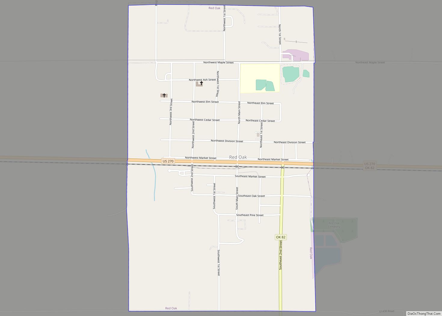
Red Oak is a town in Latimer County, Oklahoma, United States. The population was 549 at the 2010 census.
Eight miles northeast of the present town is the original site of Red Oak. There in 1850 Thomas Edwards established a trading post on the Fort Smith–Boggy Depot Road. With the advent of the Butterfield Overland Mail and stage line in 1858, Edwards’s already prosperous store became a stopping place for mail and passengers. In March 1868 the store became an official post office, with Edwards as postmaster. He named the post office Red Oak, probably because there were trees near the store. The official designation was Red Oak, Skullyville County, Choctaw Nation. Edwards’s Store has been listed in the National Register of Historic Places (NR 72001069).
The present location of “new” Red Oak, southwest of Edwards’s, served as a stage stop between Fort Smith and Texas from the 1860s. For several years there was a sawmill, a lumberyard, and a mill where the business section was located at the turn of the twenty-first century. In 1888 the Choctaw Coal and Railway (later the Chicago, Rock Island and Pacific Railway) surveyed a route across present Latimer County, linking Wister to McAlester. With the advent of the railroad a town started to grow. Around 1890 Edwards’s Store closed, and the “old” Red Oak post office officially moved to the new community.
| Name: | Red Oak town |
|---|---|
| LSAD Code: | 43 |
| LSAD Description: | town (suffix) |
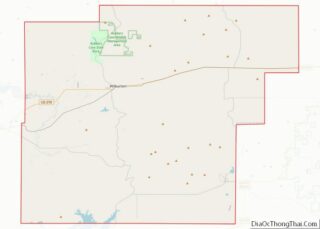
| State: | Oklahoma |
| County: | Latimer County |
| Elevation: | 587 ft (179 m) |
| Total Area: | 1.18 sq mi (3.05 km²) |
| Land Area: | 1.17 sq mi (3.03 km²) |
| Water Area: | 0.01 sq mi (0.02 km²) |
| Total Population: | 537 |
| Population Density: | 458.97/sq mi (177.15/km²) |
| ZIP code: | 74563 |
| Area code: | 539/918 |
| FIPS code: | 4062550 |
| GNISfeature ID: | 1097108 |
Online Interactive Map
Click on ![]() to view map in "full screen" mode.
to view map in "full screen" mode.
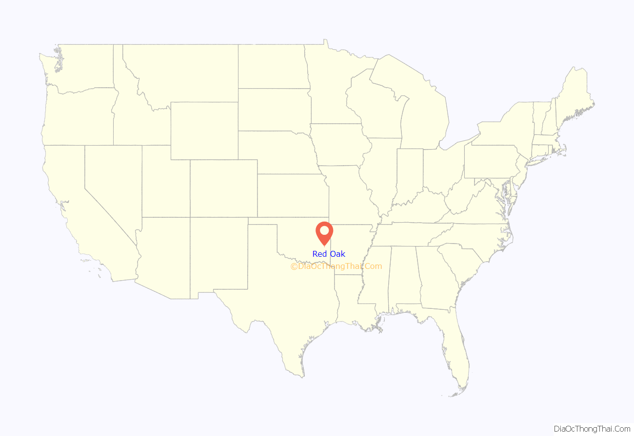
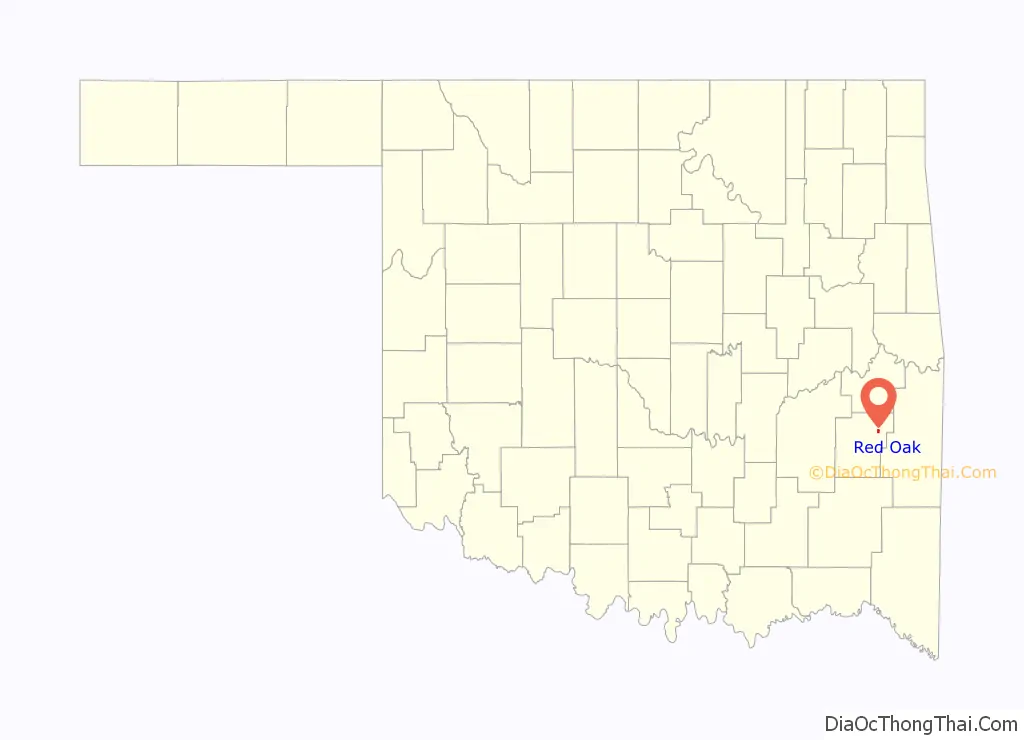
Red Oak location map. Where is Red Oak town?
History
The area around Red Oak has been inhabited since approximately 9,000 BCE, beginning with people of the Fourche Maline Culture who were descended from the first Native Americans to migrate from Asia via the Bering Land Bridge. Archaeological sites such as the McCutchan-McLaughlin site in southeastern Latimer County provide evidence of Fourche Maline settlements, particularly the burial mounds used by these people groups. The combination of poor health and prolonged drought led to the extinction of the Fourche Maline cultures by the early 15th century. European explorers, including Francisco Vasquez de Coronado and Jean Baptiste Bernard de la Harpe, began arriving in the mid-16th century and found only scattered remains of these once thriving cultures.
Red Oak became an area of settlement for members of the Choctaw tribe during relocation as part of the Trail of Tears beginning in the 1830s. In 1858, English immigrant Thomas Edwards married Choctaw native Nancy Hardaway and together they established a store on Hardaway’s land on the Butterfield Overland Mail Route. Adhering to Choctaw tradition in naming sites after people or prominent features, the community that arose around their store became known as “Red Oak,” after a large red oak tree in the area. Edwards’ Store became the first post office in Red Oak and was a successful store for both the stage route and the growing community. At the time it was founded, Red Oak was located in the Moshulatubbee District of the Choctaw Nation.
The arrival of the Choctaw Coal and Railway line (later the Rock Island and Pacific Railway) nine miles southwest of Edwards’ Store led to the relocation of the town to its present site. With close proximity to the railroad, Red Oak became a thriving and prosperous community in the early 20th century. Some of the business structures from this era are still in existence, including the Red Oak Library (formerly the post office) and buildings lining the Main Street business district (such as Rustic Customs, Eagle Ridge Camp Store, and Fields Hardware).
The earliest schools were located in homes prior to 1900, with the first high school built in 1909. In 1921, Red Oak High School relocated from a brick building on the south side of town to a native sandstone building on the far north end of town. The two-story, pentagonal building is listed on the Oklahoma Historic Register and was followed in 1938 by a new elementary school (now Alice Savage Elementary) built by workers of the Works Progress Administration. The building was also constructed of native sandstone and consisted of nine classrooms and an auditorium/gymnasium. This building was replaced in 1950 with the current high school building (W.B. Rutledge High School). All three buildings are still in use and were renovated in the early 21st century through a series of bond issues.
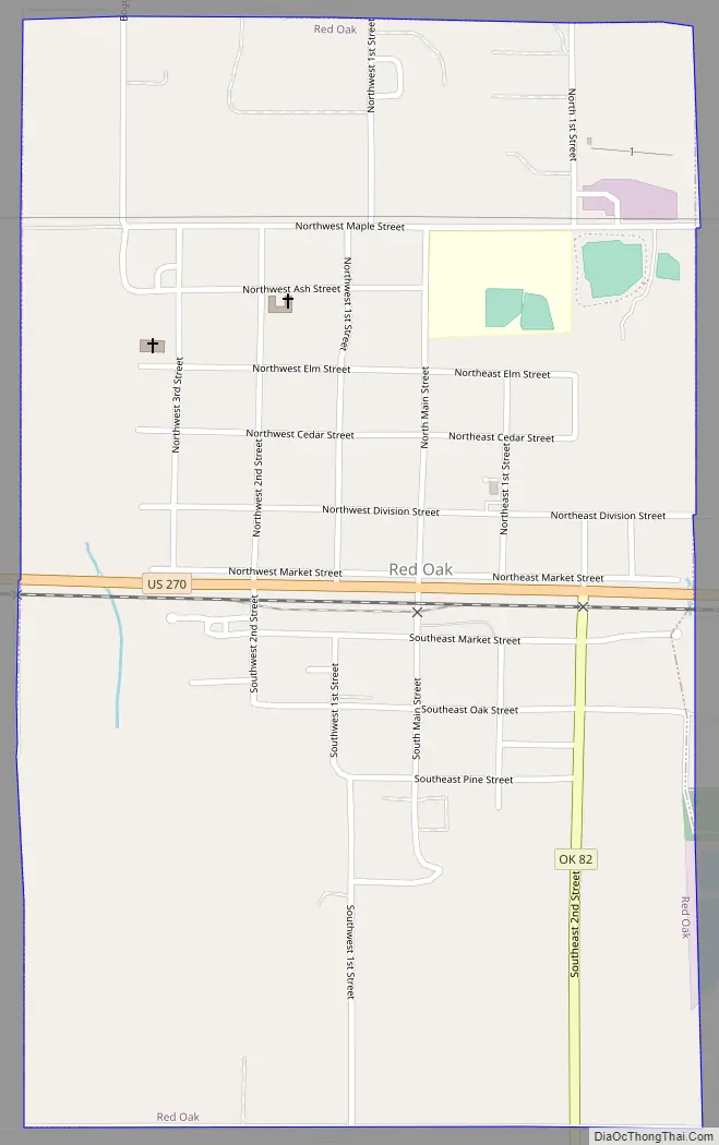
Red Oak Road Map
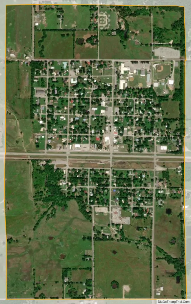
Red Oak city Satellite Map
Geography
Red Oak is located at 34°57′6″N 95°4′51″W / 34.95167°N 95.08083°W / 34.95167; -95.08083 (34.951669, -95.080890).
According to the United States Census Bureau, the town has a total area of 0.9 square miles (2.3 km), all land.
See also
Map of Oklahoma State and its subdivision:- Adair
- Alfalfa
- Atoka
- Beaver
- Beckham
- Blaine
- Bryan
- Caddo
- Canadian
- Carter
- Cherokee
- Choctaw
- Cimarron
- Cleveland
- Coal
- Comanche
- Cotton
- Craig
- Creek
- Custer
- Delaware
- Dewey
- Ellis
- Garfield
- Garvin
- Grady
- Grant
- Greer
- Harmon
- Harper
- Haskell
- Hughes
- Jackson
- Jefferson
- Johnston
- Kay
- Kingfisher
- Kiowa
- Latimer
- Le Flore
- Lincoln
- Logan
- Love
- Major
- Marshall
- Mayes
- McClain
- McCurtain
- McIntosh
- Murray
- Muskogee
- Noble
- Nowata
- Okfuskee
- Oklahoma
- Okmulgee
- Osage
- Ottawa
- Pawnee
- Payne
- Pittsburg
- Pontotoc
- Pottawatomie
- Pushmataha
- Roger Mills
- Rogers
- Seminole
- Sequoyah
- Stephens
- Texas
- Tillman
- Tulsa
- Wagoner
- Washington
- Washita
- Woods
- Woodward
- Alabama
- Alaska
- Arizona
- Arkansas
- California
- Colorado
- Connecticut
- Delaware
- District of Columbia
- Florida
- Georgia
- Hawaii
- Idaho
- Illinois
- Indiana
- Iowa
- Kansas
- Kentucky
- Louisiana
- Maine
- Maryland
- Massachusetts
- Michigan
- Minnesota
- Mississippi
- Missouri
- Montana
- Nebraska
- Nevada
- New Hampshire
- New Jersey
- New Mexico
- New York
- North Carolina
- North Dakota
- Ohio
- Oklahoma
- Oregon
- Pennsylvania
- Rhode Island
- South Carolina
- South Dakota
- Tennessee
- Texas
- Utah
- Vermont
- Virginia
- Washington
- West Virginia
- Wisconsin
- Wyoming