Reydon is a town in Roger Mills County, Oklahoma, United States.
Reydon was established in 1928 after the Atchison, Topeka and Santa Fe Railway put down rails in the area, purchased land from local farmers, and laid out a townsite. The site was two miles north of a settlement called Rankin, and Rankin merchants moved to the site because of the rail connection. However, the name “Rankin” was considered confusing because Rankin, Texas was also along the railline. So the town was named Reydon instead, either in honor of a railroad executive in Chicago, or in honor of the village of Reydon in Suffolk County, England.
The population of the town peaked at 331 in 1950. In December 2003 the New York Times featured Reydon on the front page, in an article regarding dwindling small towns on the Great Plains. The population was 210 at the time of the 2010 census.
| Name: | Reydon town |
|---|---|
| LSAD Code: | 43 |
| LSAD Description: | town (suffix) |
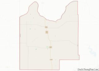
| State: | Oklahoma |
| County: | Roger Mills County |
| Elevation: | 2,283 ft (696 m) |
| Total Area: | 0.49 sq mi (1.28 km²) |
| Land Area: | 0.49 sq mi (1.28 km²) |
| Water Area: | 0.00 sq mi (0.00 km²) |
| Total Population: | 137 |
| Population Density: | 277.89/sq mi (107.19/km²) |
| ZIP code: | 73660 |
| Area code: | 580 |
| FIPS code: | 4063100 |
| GNISfeature ID: | 1101623 |
Online Interactive Map
Click on ![]() to view map in "full screen" mode.
to view map in "full screen" mode.
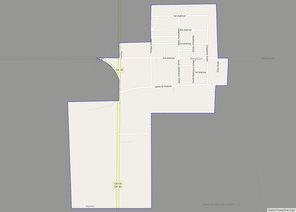
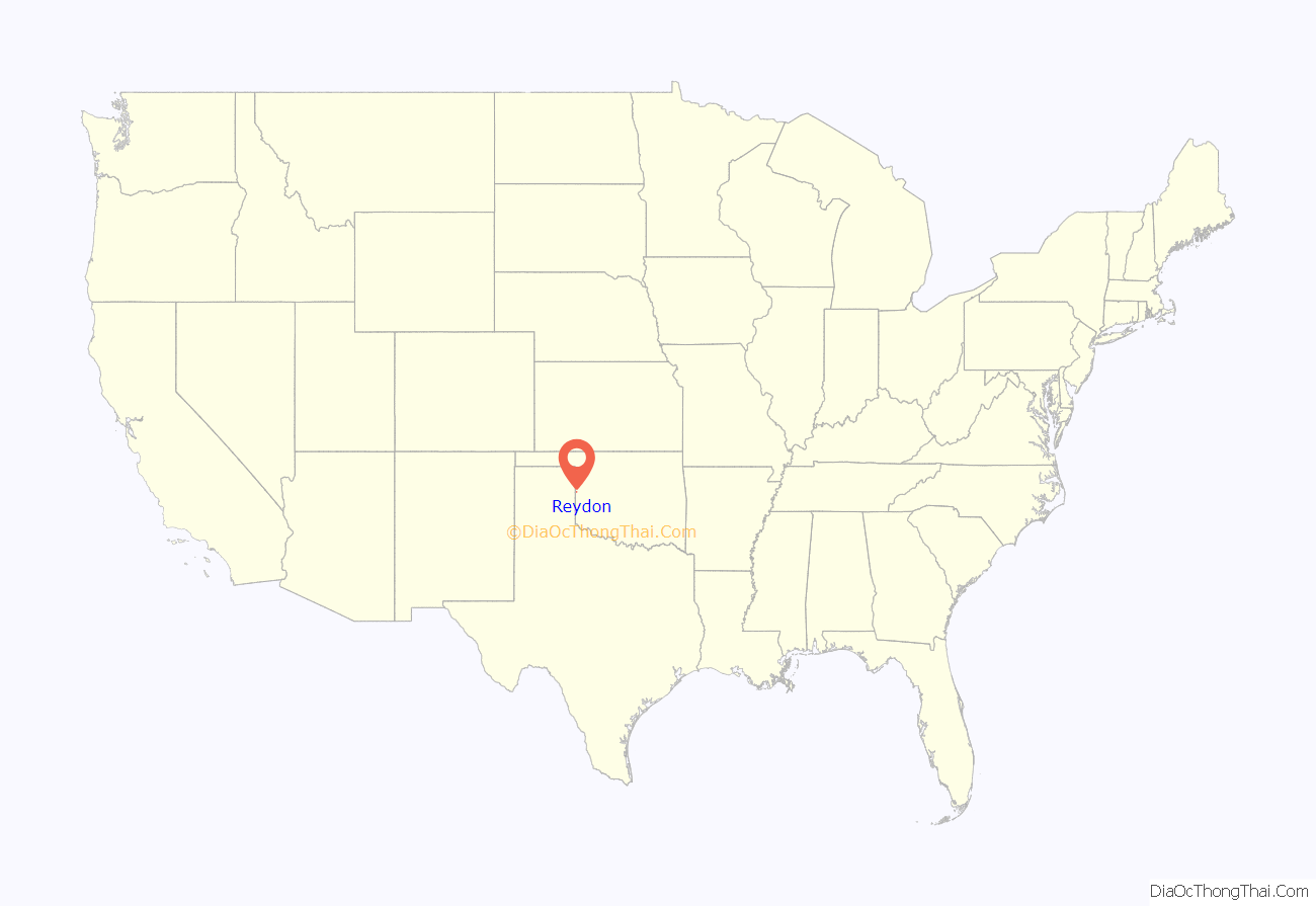
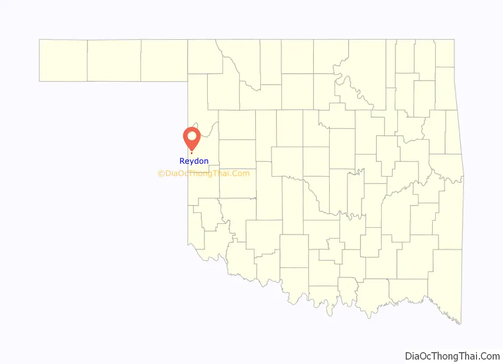
Reydon location map. Where is Reydon town?
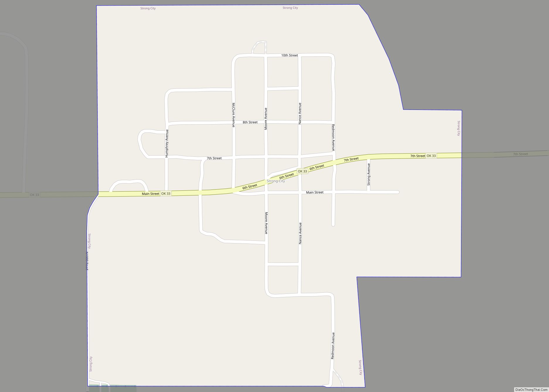
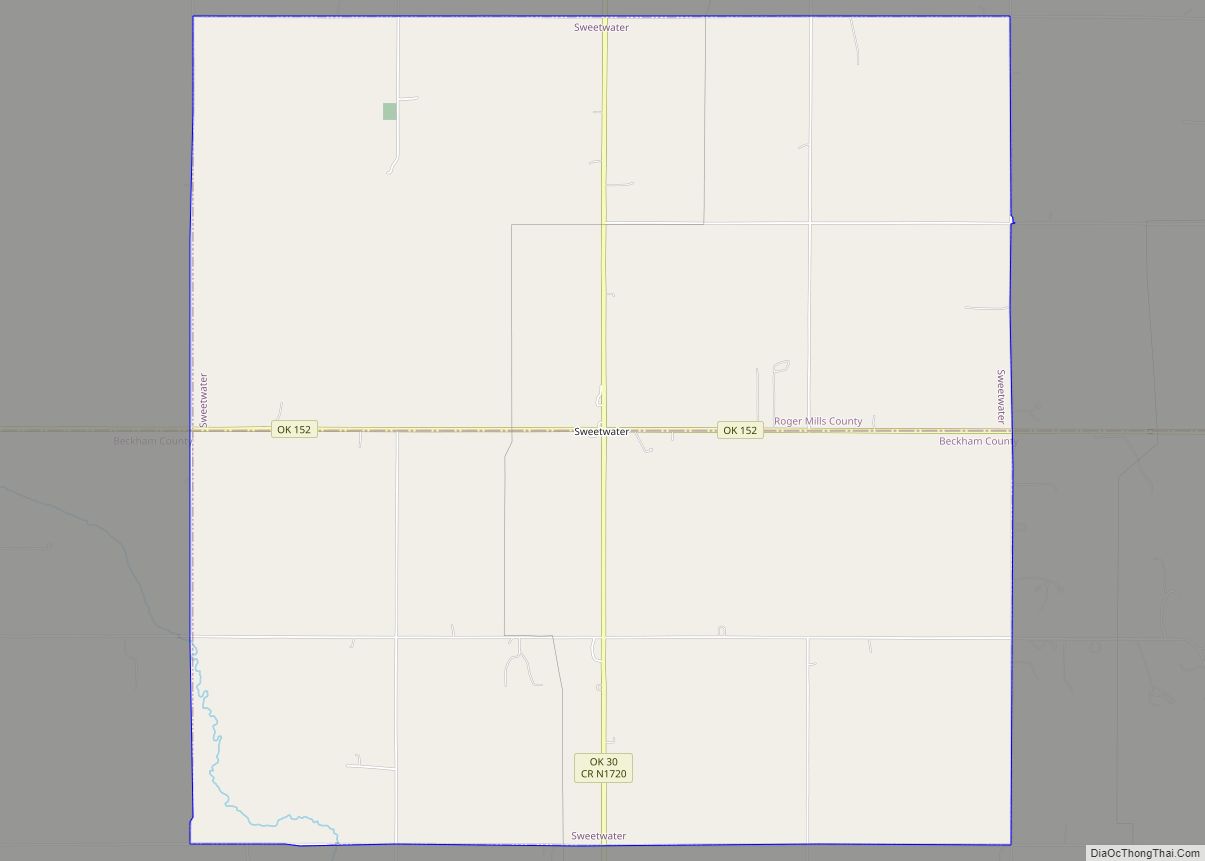
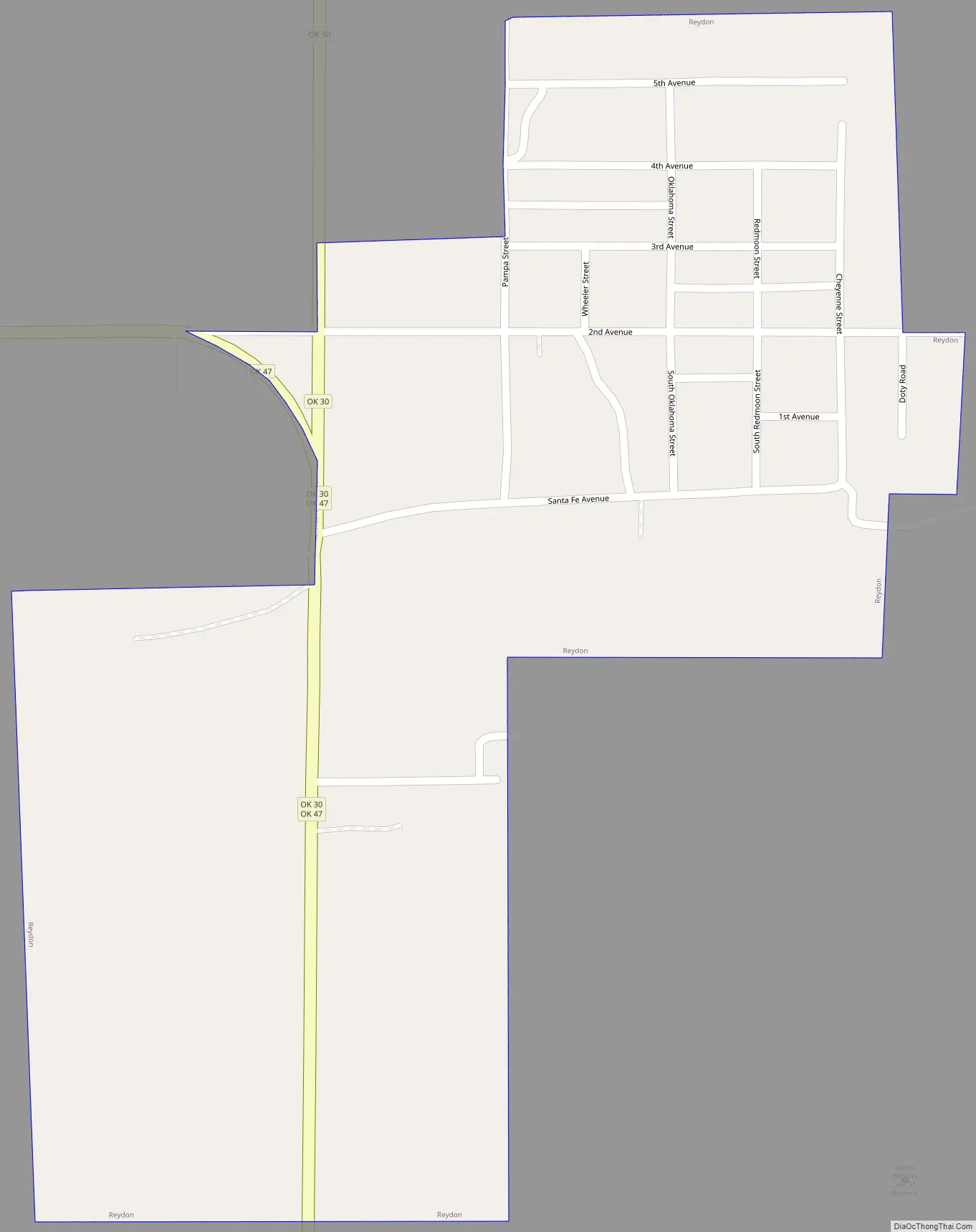
Reydon Road Map
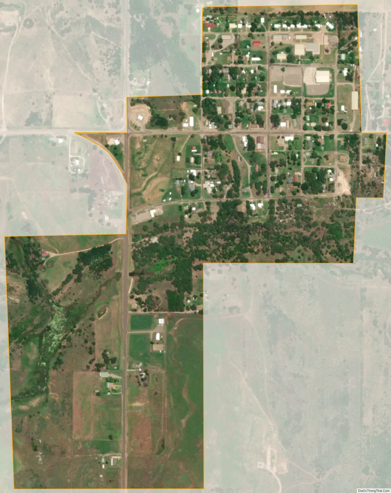
Reydon city Satellite Map
Geography
Reydon is located at 35°39′10″N 99°55′17″W / 35.65278°N 99.92139°W / 35.65278; -99.92139 (35.652899, -99.921304). According to the United States Census Bureau, the town has a total area of 0.4 square miles (1.0 km), all land.
Reydon is located at the northern intersection of State Highways 30 and 47.
Reydon is surrounded by the Black Kettle National Grassland, with Skipout Lake to the southeast.
See also
Map of Oklahoma State and its subdivision:- Adair
- Alfalfa
- Atoka
- Beaver
- Beckham
- Blaine
- Bryan
- Caddo
- Canadian
- Carter
- Cherokee
- Choctaw
- Cimarron
- Cleveland
- Coal
- Comanche
- Cotton
- Craig
- Creek
- Custer
- Delaware
- Dewey
- Ellis
- Garfield
- Garvin
- Grady
- Grant
- Greer
- Harmon
- Harper
- Haskell
- Hughes
- Jackson
- Jefferson
- Johnston
- Kay
- Kingfisher
- Kiowa
- Latimer
- Le Flore
- Lincoln
- Logan
- Love
- Major
- Marshall
- Mayes
- McClain
- McCurtain
- McIntosh
- Murray
- Muskogee
- Noble
- Nowata
- Okfuskee
- Oklahoma
- Okmulgee
- Osage
- Ottawa
- Pawnee
- Payne
- Pittsburg
- Pontotoc
- Pottawatomie
- Pushmataha
- Roger Mills
- Rogers
- Seminole
- Sequoyah
- Stephens
- Texas
- Tillman
- Tulsa
- Wagoner
- Washington
- Washita
- Woods
- Woodward
- Alabama
- Alaska
- Arizona
- Arkansas
- California
- Colorado
- Connecticut
- Delaware
- District of Columbia
- Florida
- Georgia
- Hawaii
- Idaho
- Illinois
- Indiana
- Iowa
- Kansas
- Kentucky
- Louisiana
- Maine
- Maryland
- Massachusetts
- Michigan
- Minnesota
- Mississippi
- Missouri
- Montana
- Nebraska
- Nevada
- New Hampshire
- New Jersey
- New Mexico
- New York
- North Carolina
- North Dakota
- Ohio
- Oklahoma
- Oregon
- Pennsylvania
- Rhode Island
- South Carolina
- South Dakota
- Tennessee
- Texas
- Utah
- Vermont
- Virginia
- Washington
- West Virginia
- Wisconsin
- Wyoming